

Norway, Svalbard, Spitsbergen, Janssonius, 1657, Spitzberga
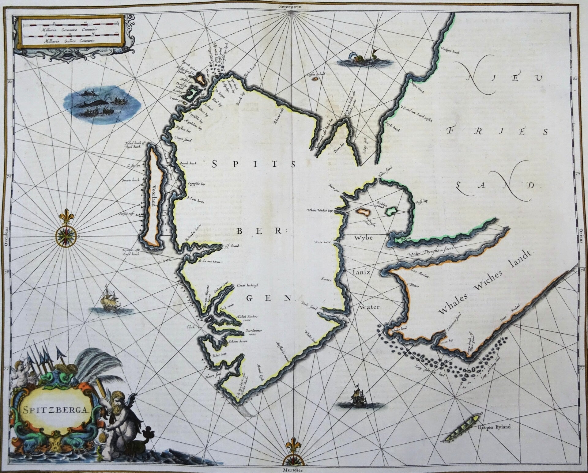
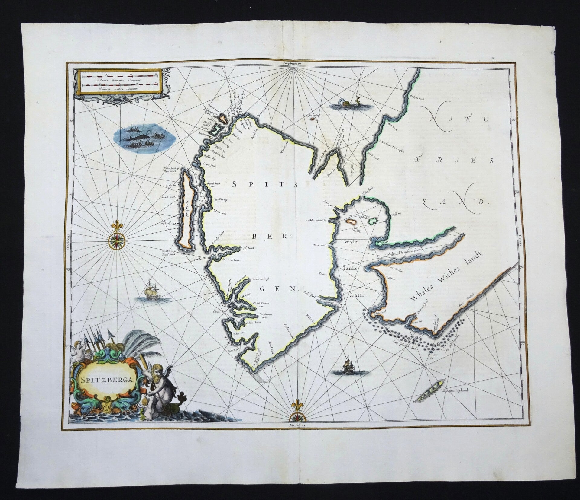
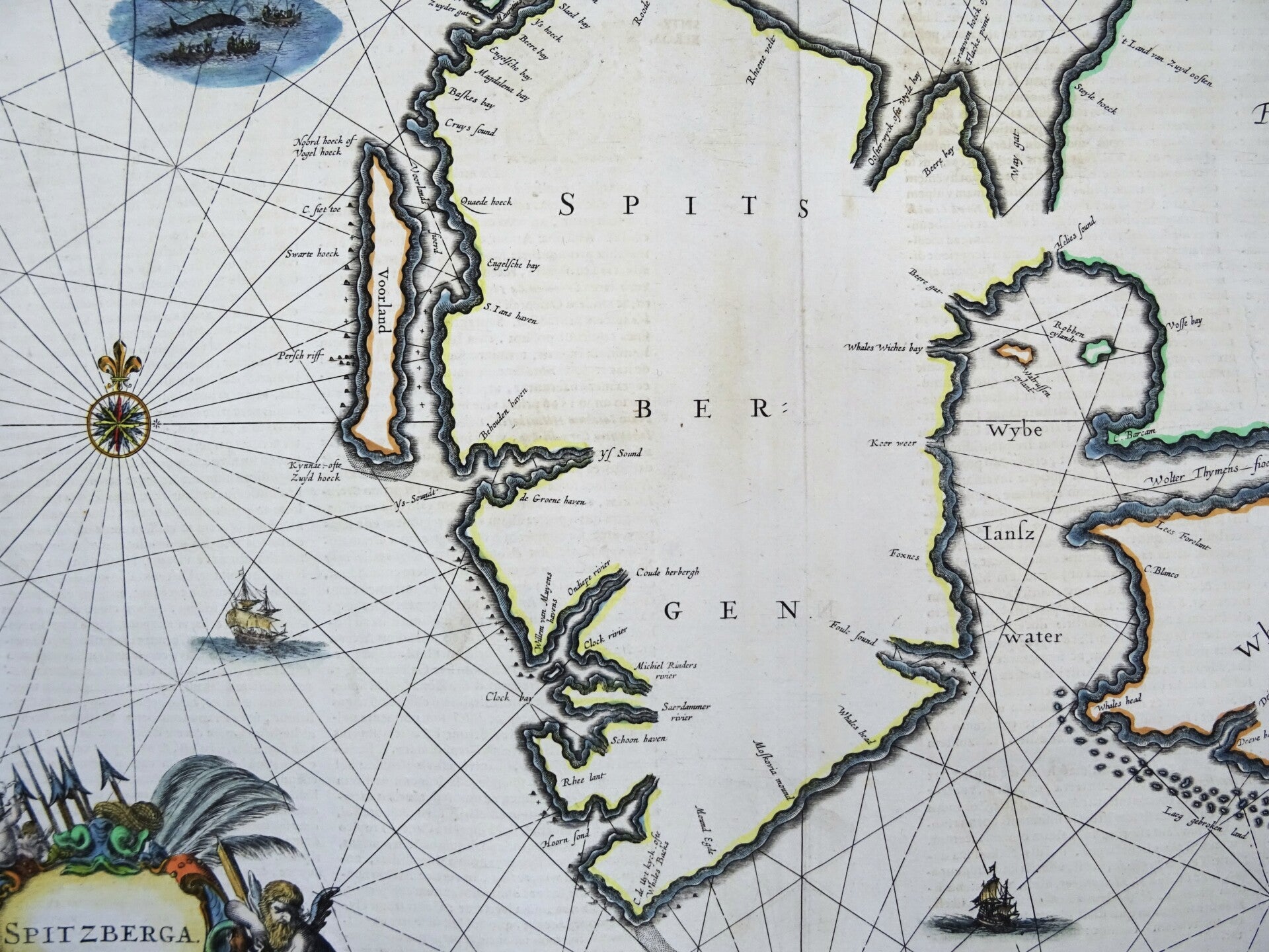
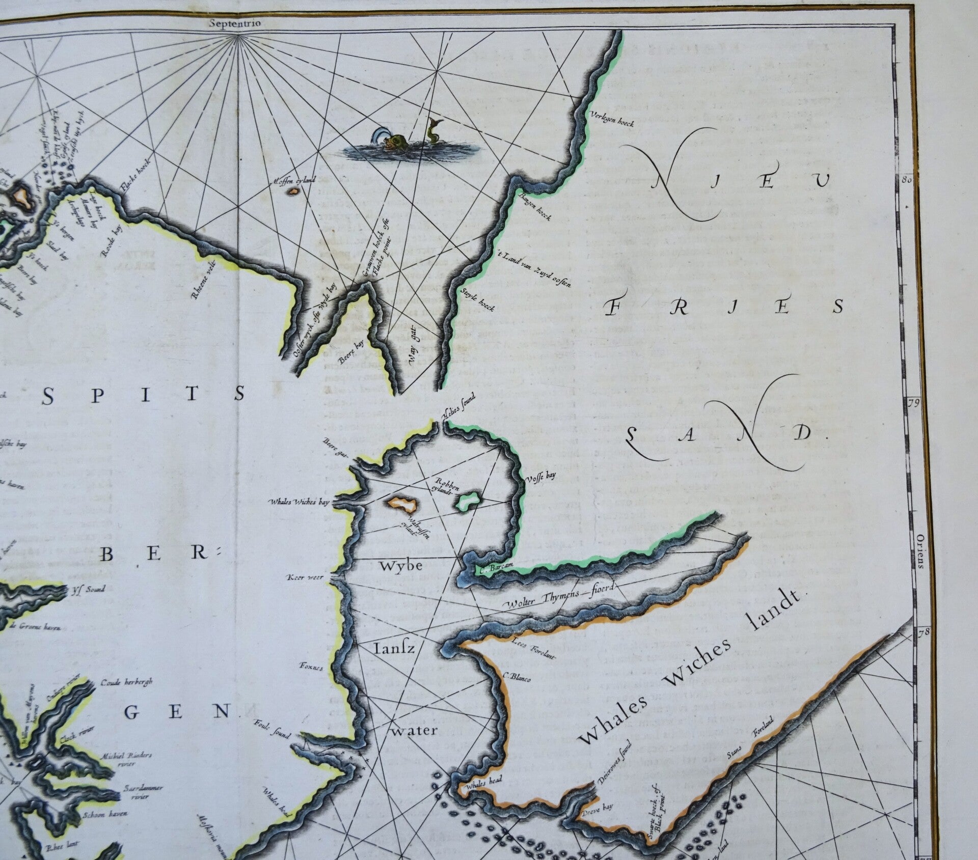
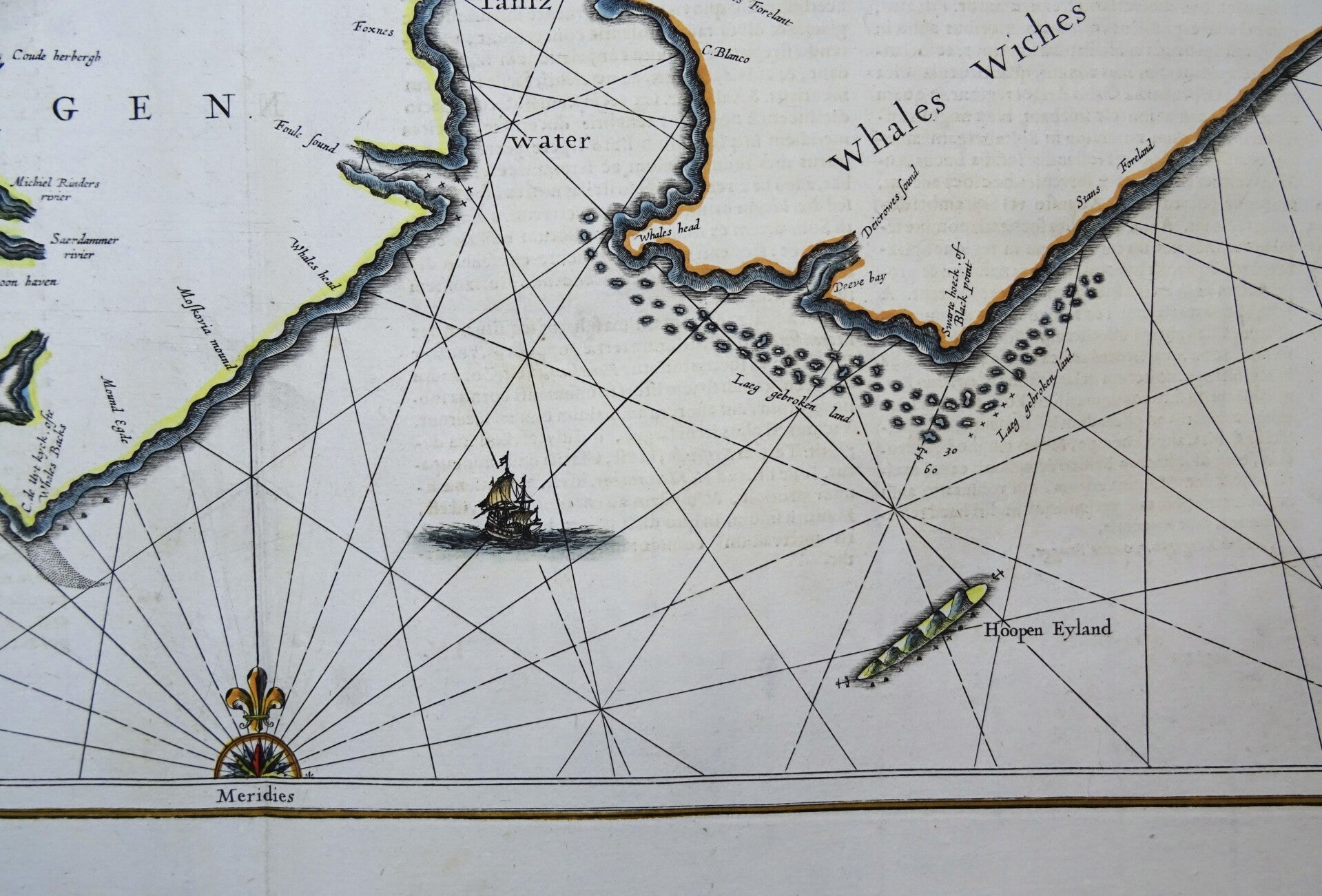
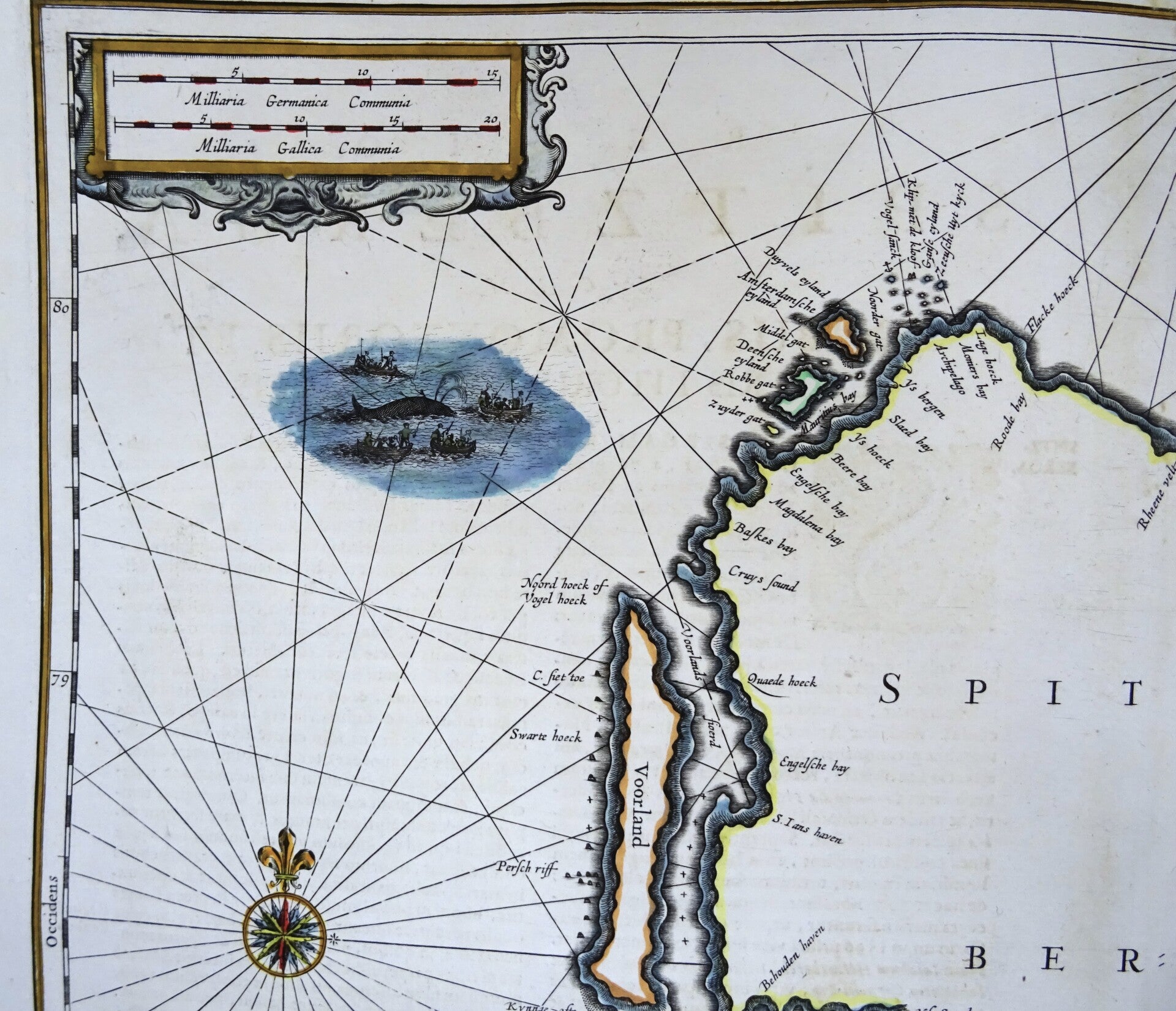
Large folio sized very rare 17th century nautical chart of the island of Spitsbergen (Svalbard) in the Artic Ocean.
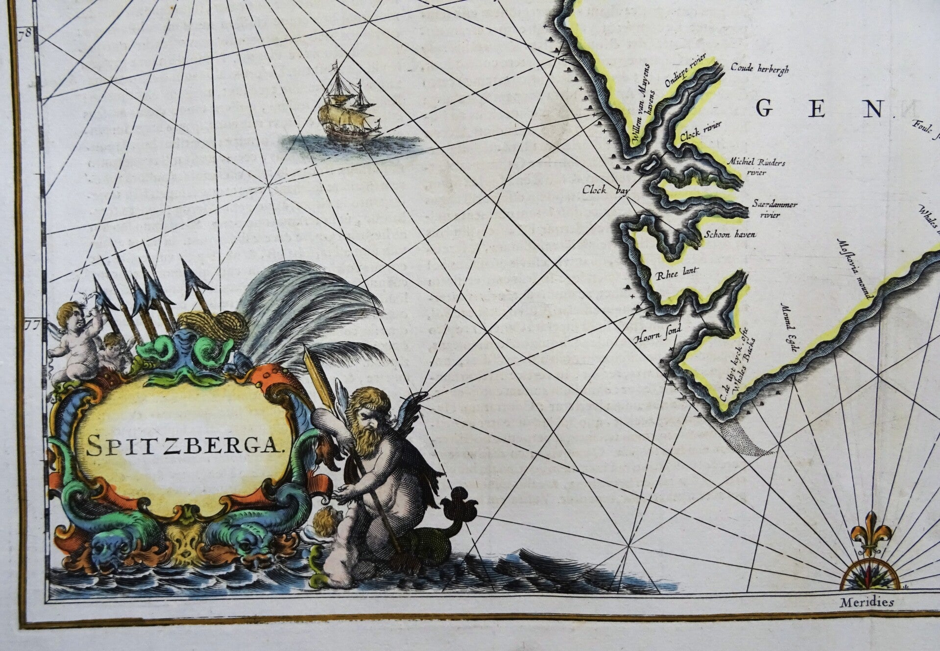
The chart includes several inscriptions, primarily in Latin, identifying geographical features and navigational information. The title cartouche, located in the lower right corner, is adorned with mythological figures and maritime symbols, underscoring the map's dual role as a navigational tool and a work of art.
Because of the importance and expense associated with Jansson's later atlases, the maps from the Atlas Maritimus are relatively scarce on the market and are highly collected as the first obtainable Dutch Sea Charts of many regions around the world.
Published in 1657 in Amsterdam by J. Janssonius in ´Atlantis maioris quinta pars, orbem maritimum... editio novissima. Amstelodami: apud Ioannem Ianssonium, 1657´
Because of the importance and expense associated with Jansson's later atlases, the maps from the Atlas Maritimus are relatively scarce on the market and are highly collected as the first obtainable Dutch Sea Charts of many regions around the world.
Published in 1657 in Amsterdam by J. Janssonius in ´Atlantis maioris quinta pars, orbem maritimum... editio novissima. Amstelodami: apud Ioannem Ianssonium, 1657´
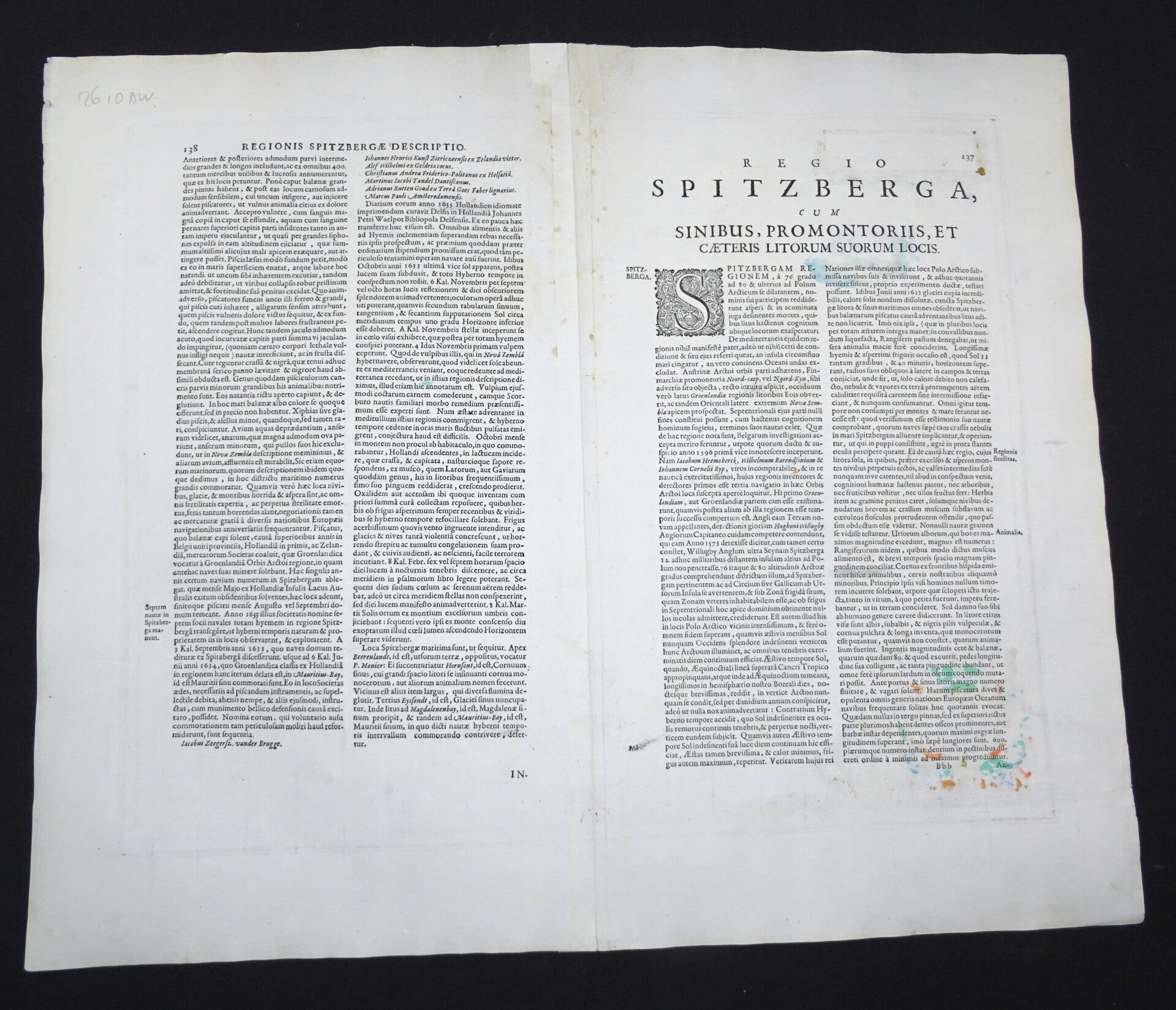
Very good condition. Clear print, strong paper. Reverse side text in Latin.
Image 41,5x51,5cm, sheet 51,5x60cm