

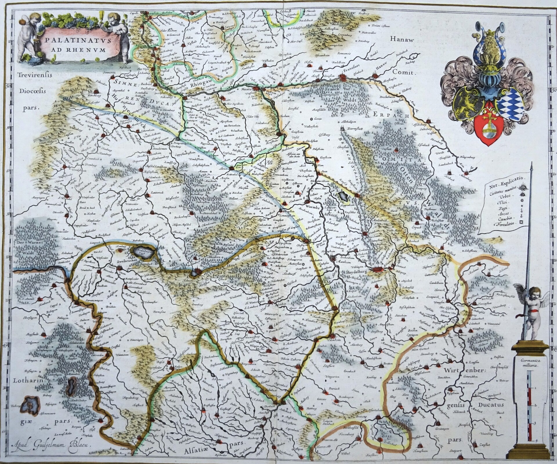
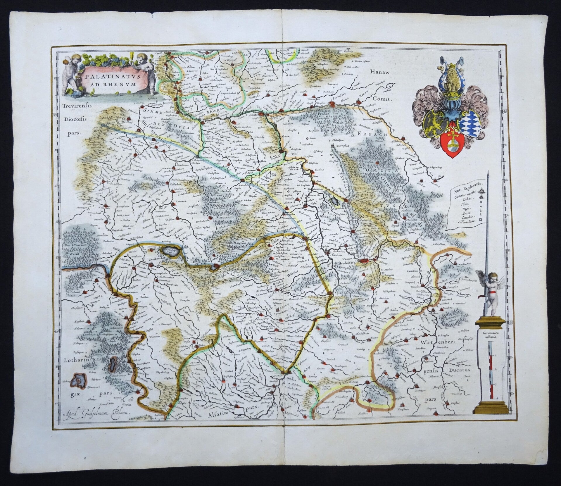
Germany, Frankfurt am Main, Mainz, Heidelberg, Hessen,... W. Blaeu, 1635, Palinatus ad Rhenum
€79.00
Item number:
25 22 CS
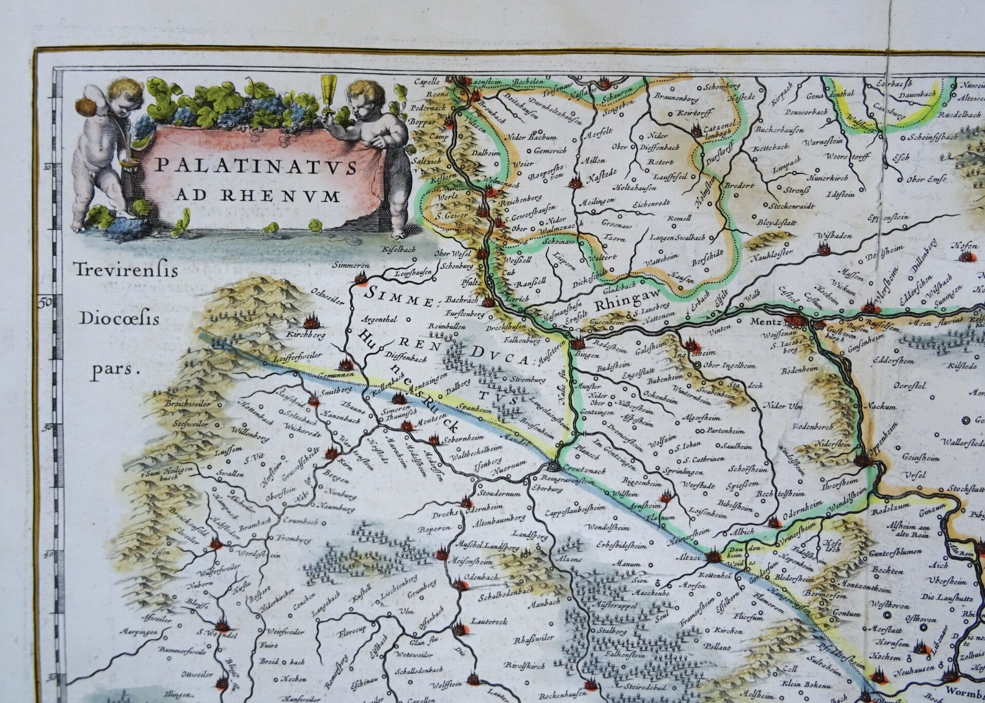
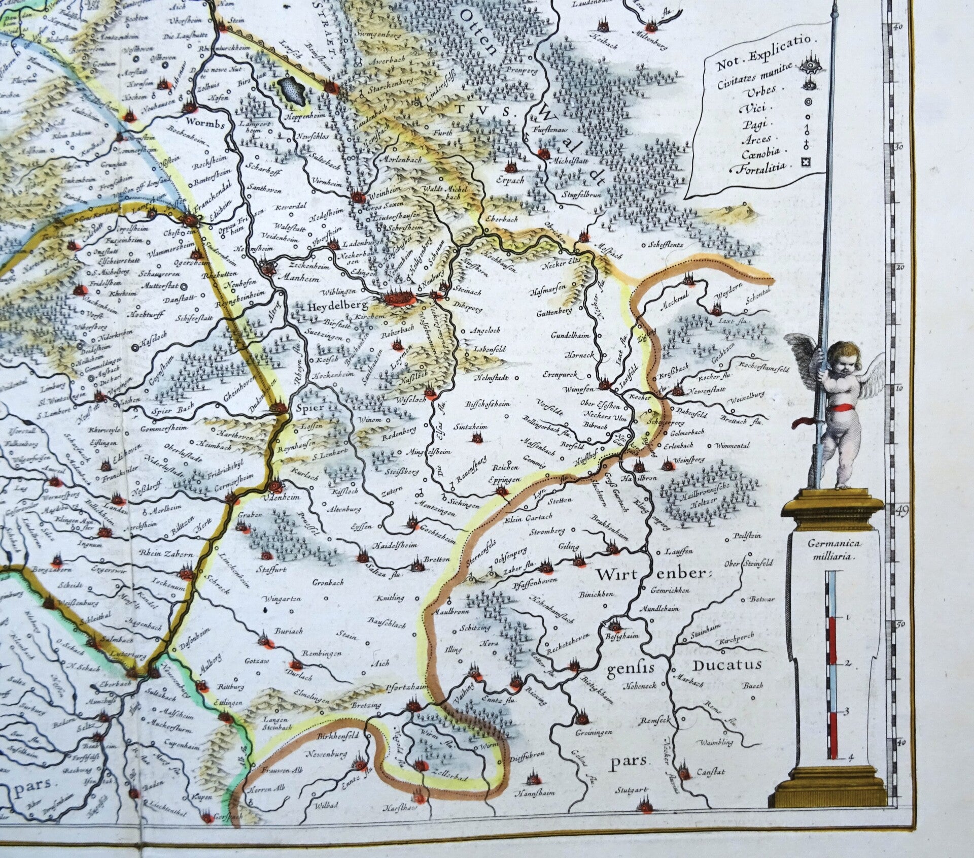
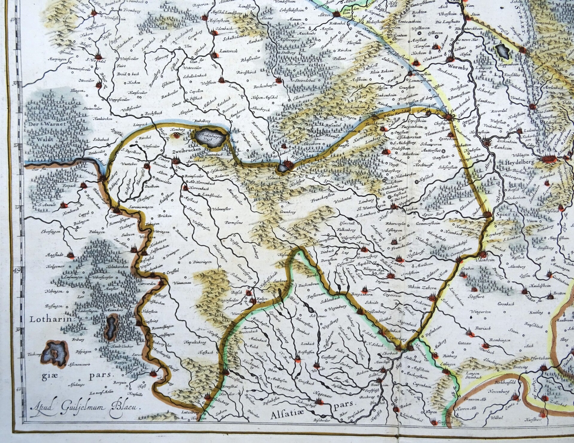
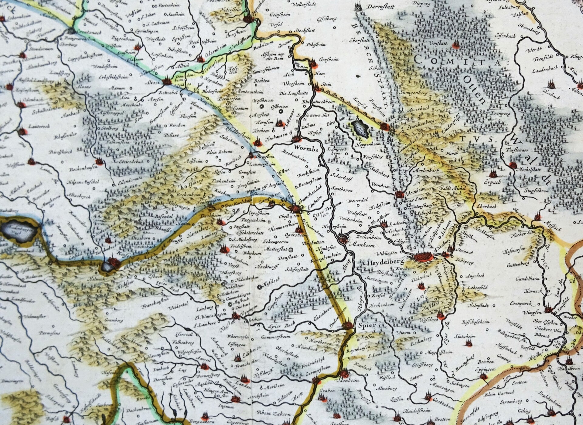
Beautiful 17th century map of the area around Frankfurt am Main, Hessen, in Germany. Published by W. and J. Blaeu in 1635 in Amsterdam in the French edition of their first large atlas (Atlas Novus).
The map shows the valley of the Rhine; the cities of Mainz, Frankfurt am Main, Worms, Spier and Heidelberg,
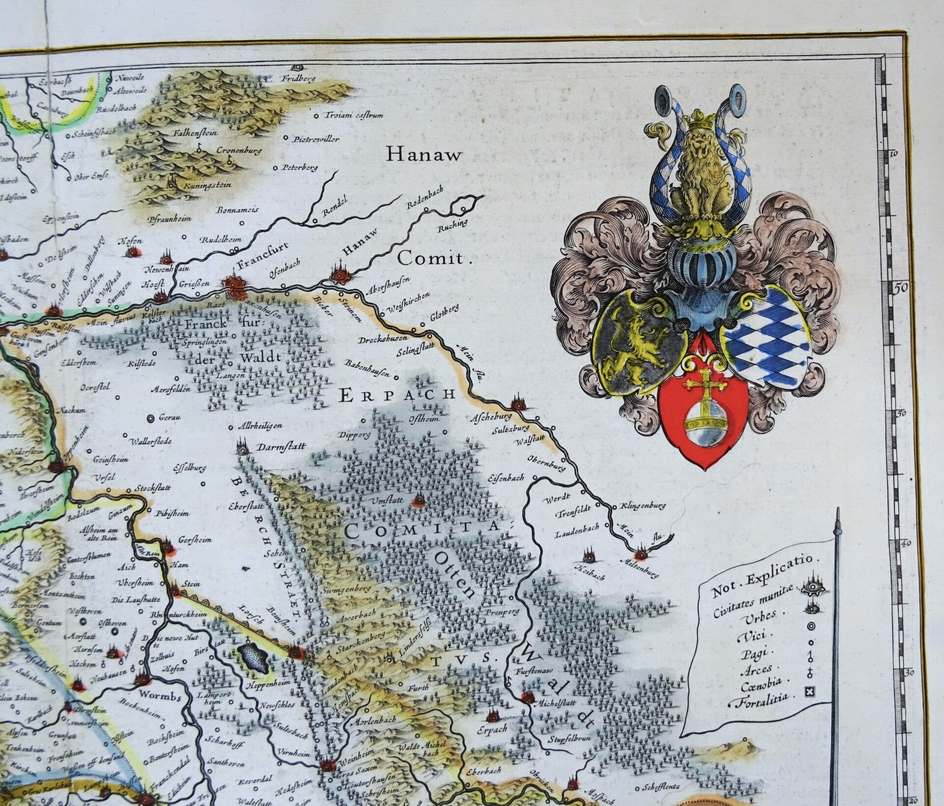
Large coat of arms and flag held by a cherub above the scale.
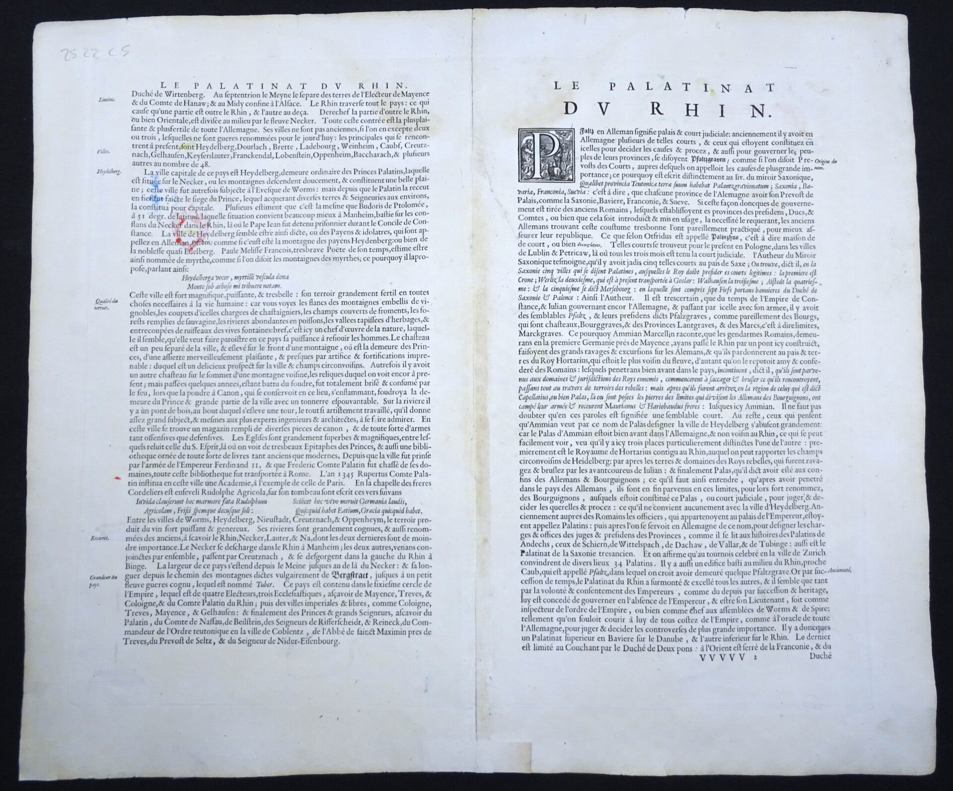
Good condition. Some small repairs in the margins and the area of the central fold, with minimal impact on the image. Clear print, clean paper, ample margins. Text on reverse in French.
Image 41,5x49,5cm, sheet 49x57cm