

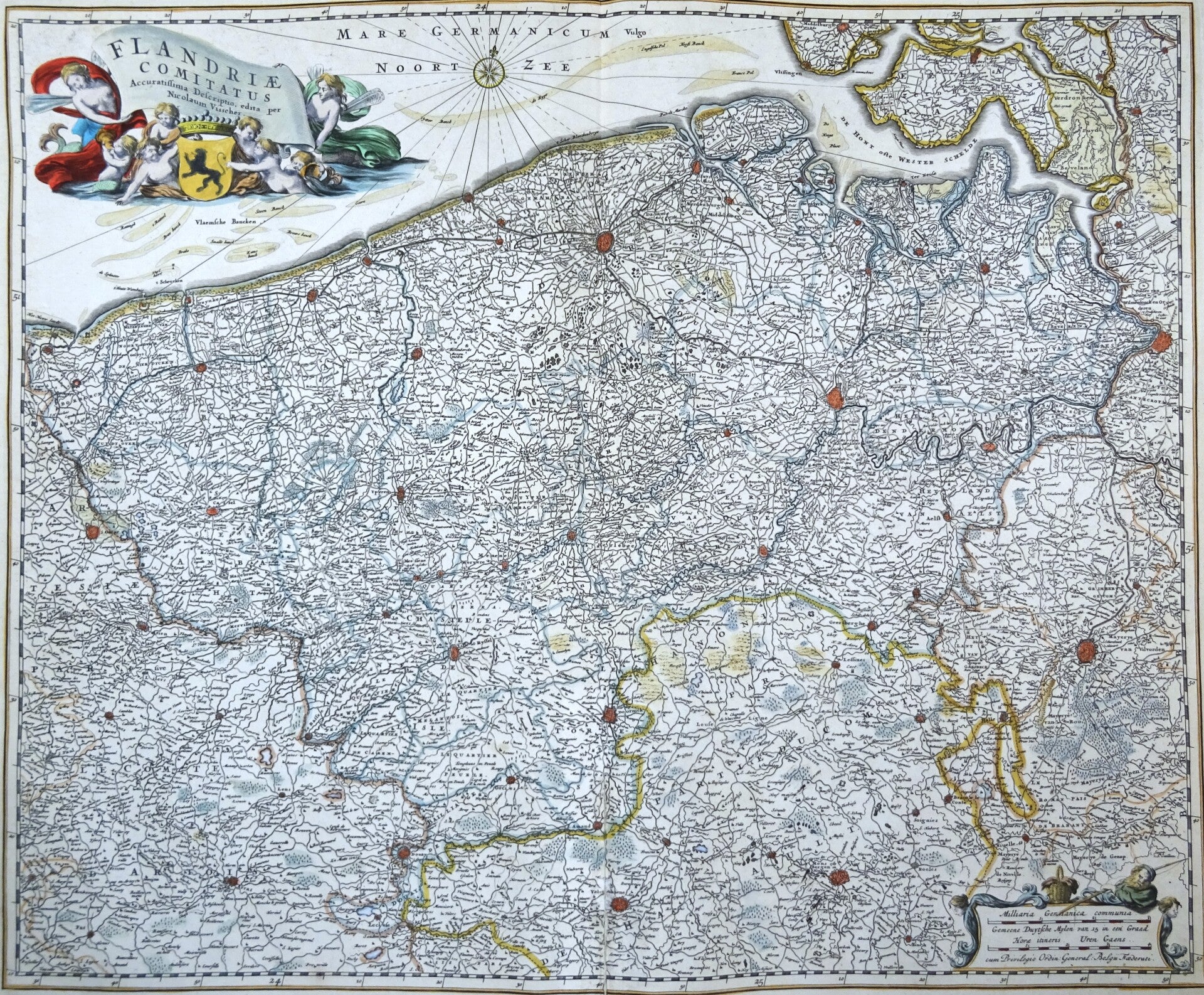
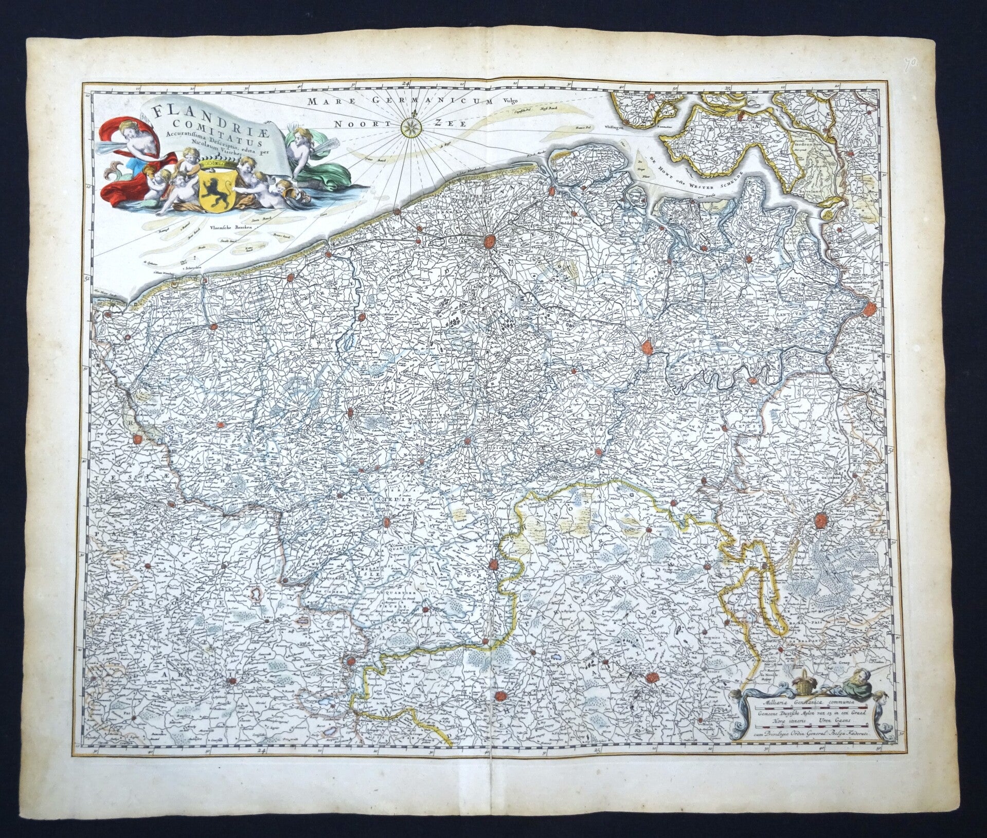
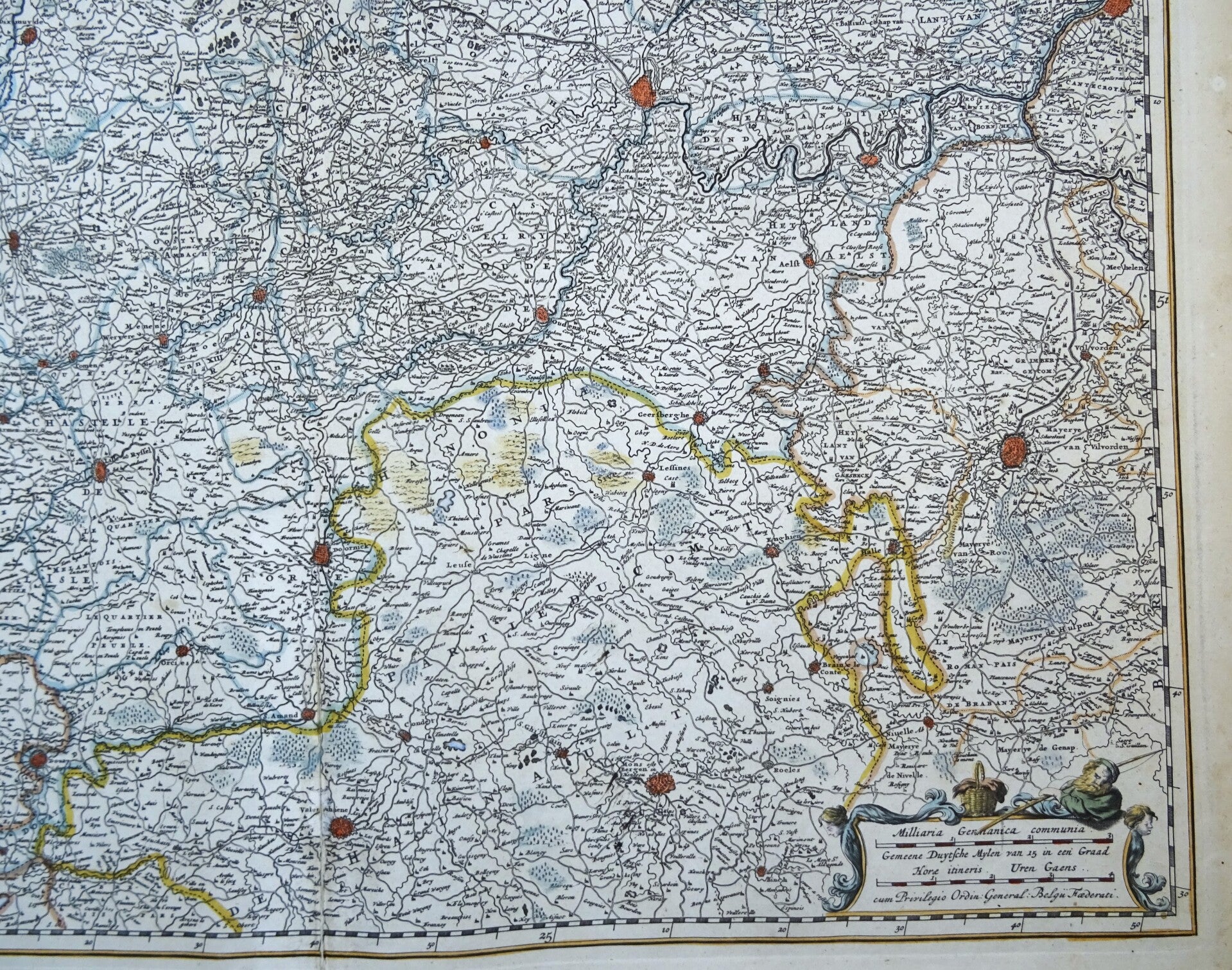
Belgium, Netherlands, Flanders, France, Gent, Brugge, Antwerp, Brussels…. N. Visscher, 1690, Flandriae Comitatus Accuratissima Descriptio.
€289.00
Item number:
25 21 CF
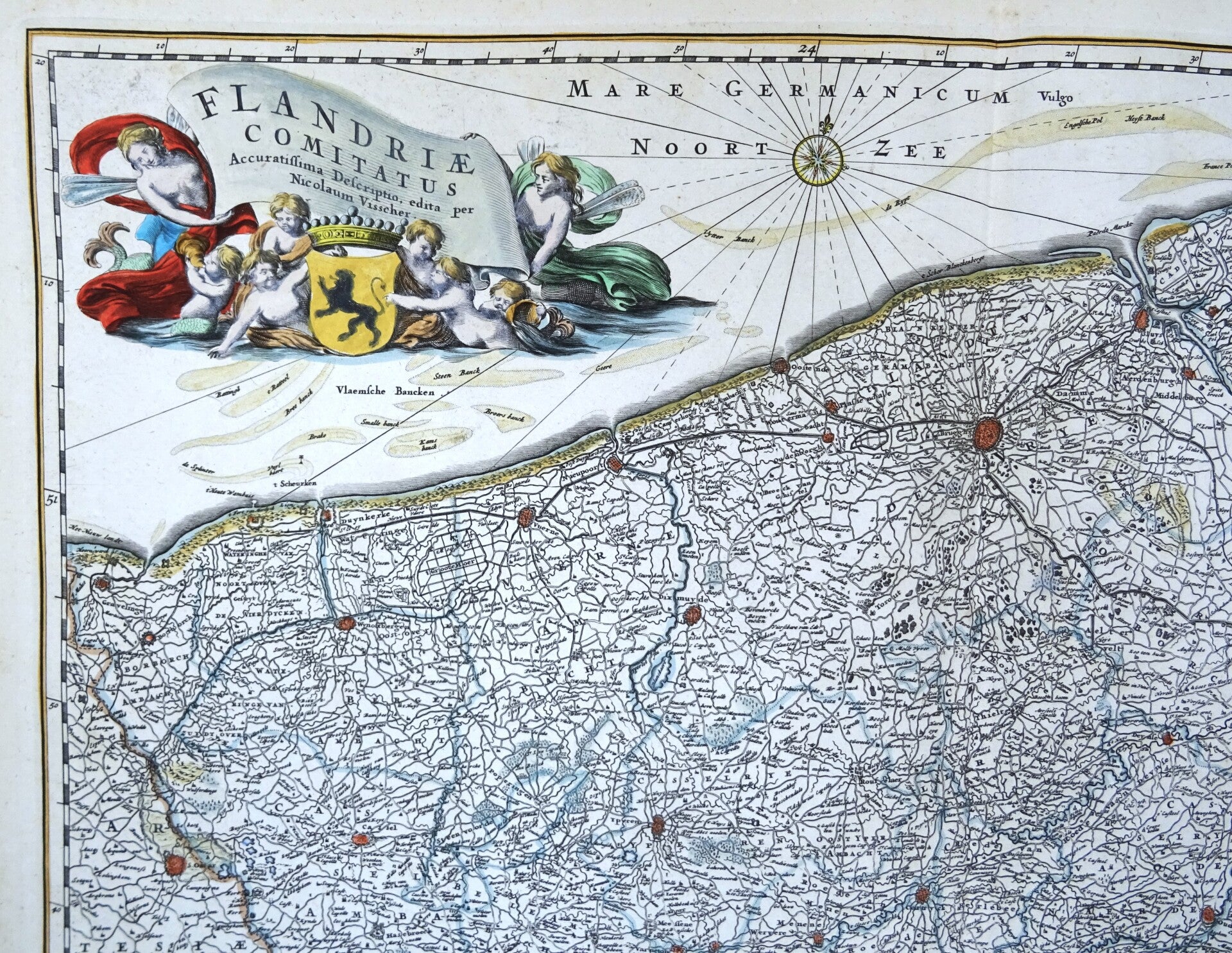
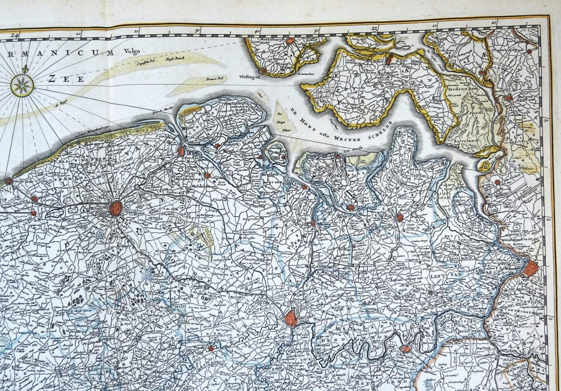
This impressive old map depicts the county of Flanders. This is an area largely corresponding to present-day Flanders in Belgium, Netherlands (Zeeuws-Vlaanderen) and French Flanders (Lille...) and surrounding regions in Brabant. Dating from 1690 and created by Nicolaes Visscher. It is embellished with an exquisite title cartouche.
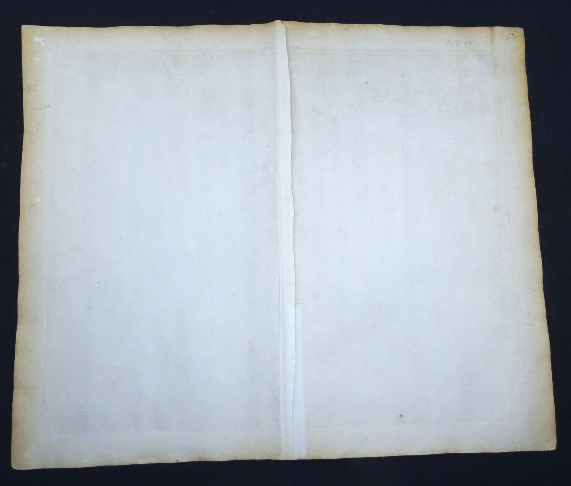
This edition (without text on the verso) was published exclusively in a composite atlas by Abraham Wolfgang, issued in Amsterdam around 1690.
Very good condition. Small repair at the bottom in the central fold, with minimal impact on the image. Otherwise excellent. Thick paper, clear print, wide margins. Central fold, as issued.
Image 46,5x56,5cm, sheet 54x64cm