

Malta, Gozo, La Valetta, Janssonius, 1657, Insulae Melitae vulgo Malte : nova et accurata descriptio.
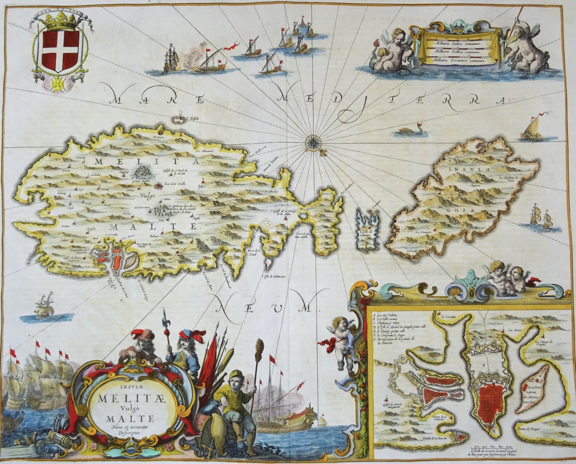
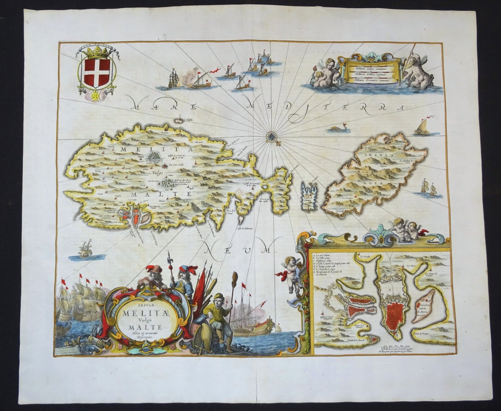
Insulae Melitae vulgo Malte : nova et accurata descriptio. (1657)
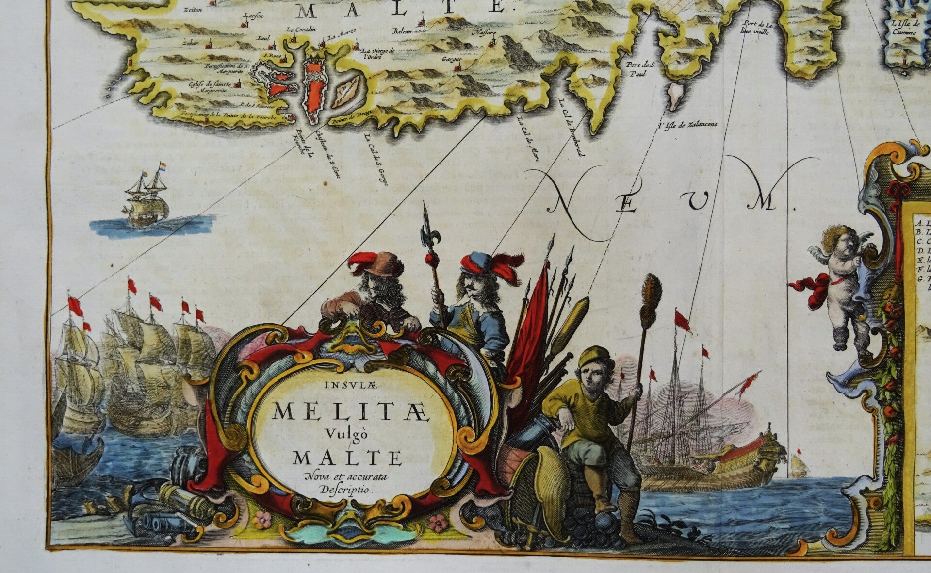
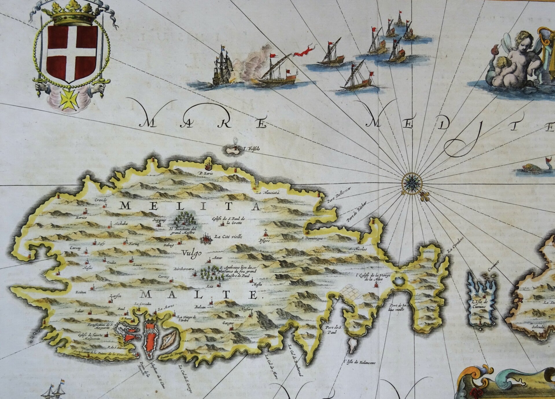
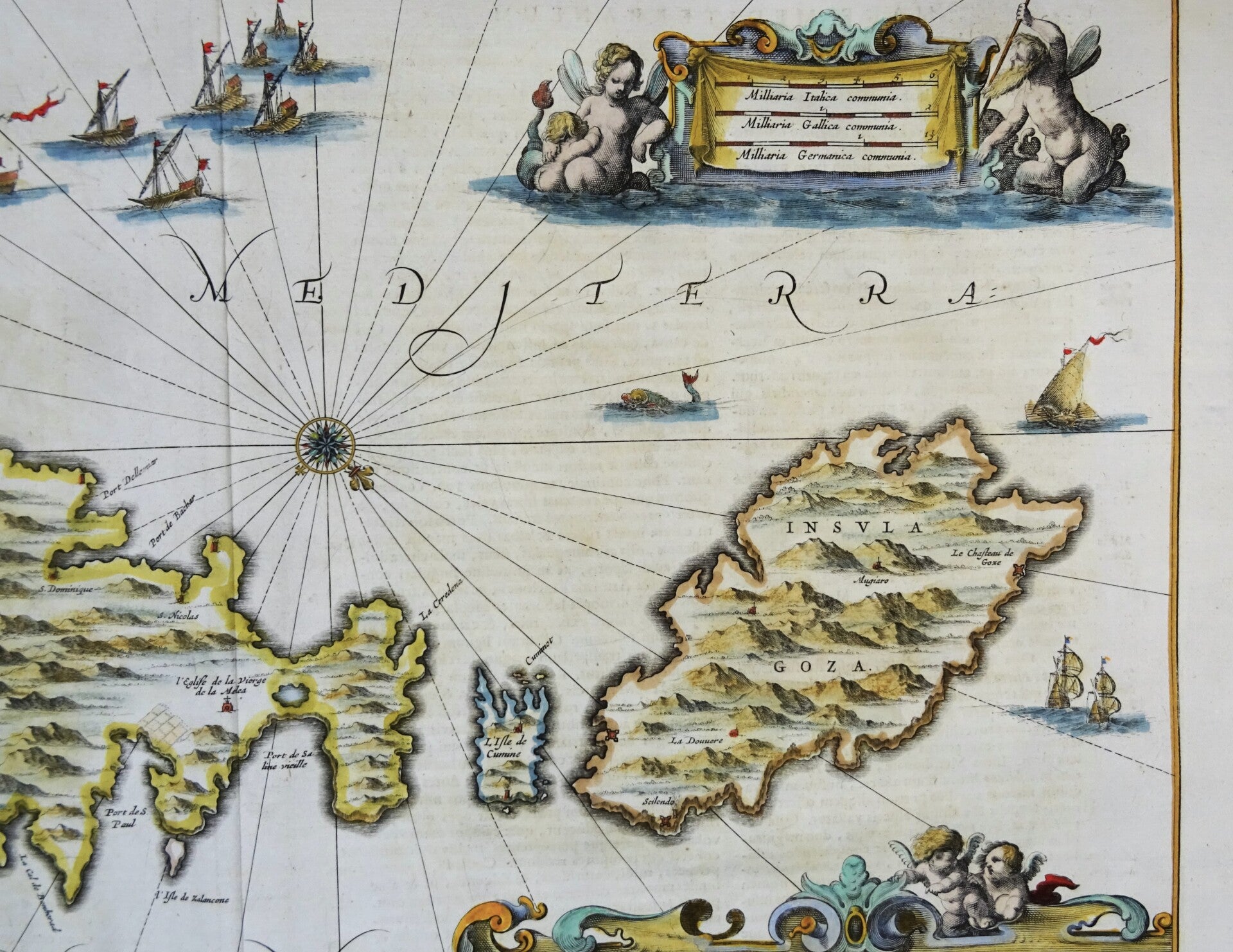
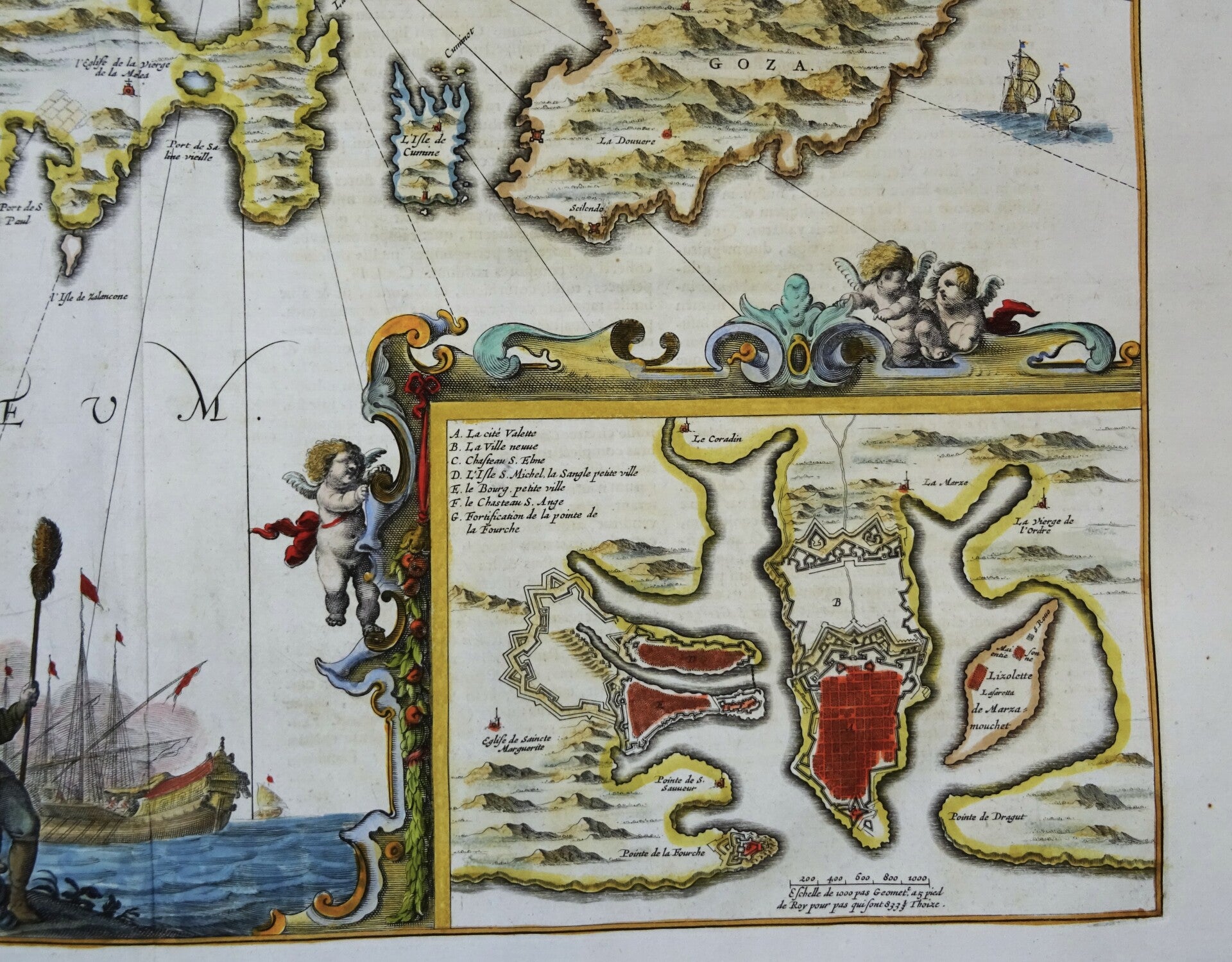
Large folio sized rare 17th century map of Malta and Gozo, with inset map of the area around La Valetta. The map appeared in Volume 5 of Jansson's Atlas Novus, under the separate title Atlas Maritimus.
The map is oriented towards the Southwest and decorated with great figure title-cartouche, ornamental cartouche with 3 cherubs and the fotification plan of La Valetta, figure cartouche with the scale of map ("Milliaria Italica ... Gallica ... Germanica communia"), great coat of arms, a wind rose and many ships.
Because of the importance and expense associated with Jansson's later atlases, the maps from the Atlas Maritimus are relatively scarce on the market and are highly collected as the first obtainable Dutch Sea Charts of many regions around the world.
Published in 1657 in Amsterdam by J. Janssonius in ´Atlantis maioris quinta pars, orbem maritimum... editio novissima. Amstelodami: apud Ioannem Ianssonium, 1657´
References: van der Krogt 1, 7590:1.
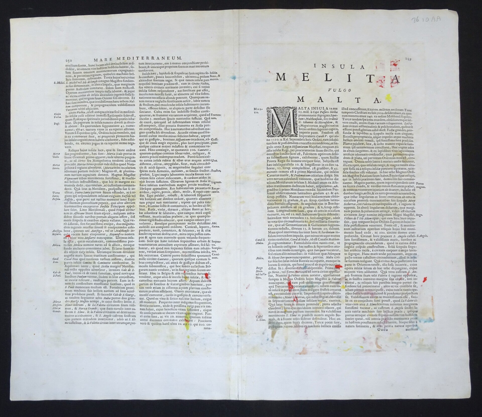
Very good condition. Clear print, strong paper. Reverse side text in Latin.
Image 41x51cm, sheet 51,5x60cm