

Histoire générale des voyages ... Prévost d´Exiles, VOLUME 1-20 complete, 1746-1792
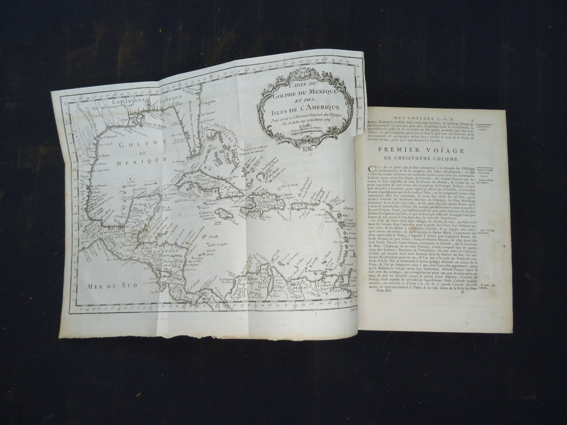
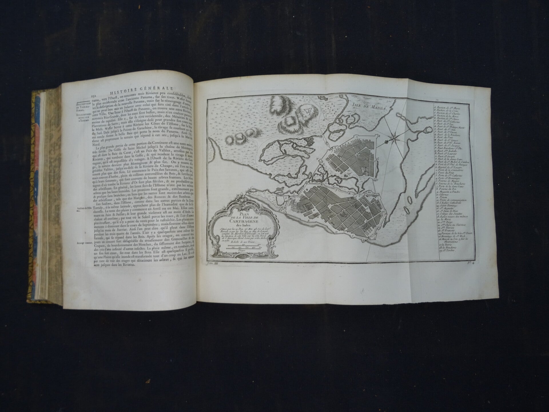
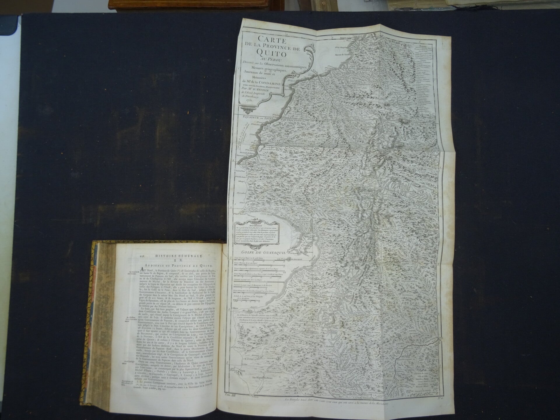
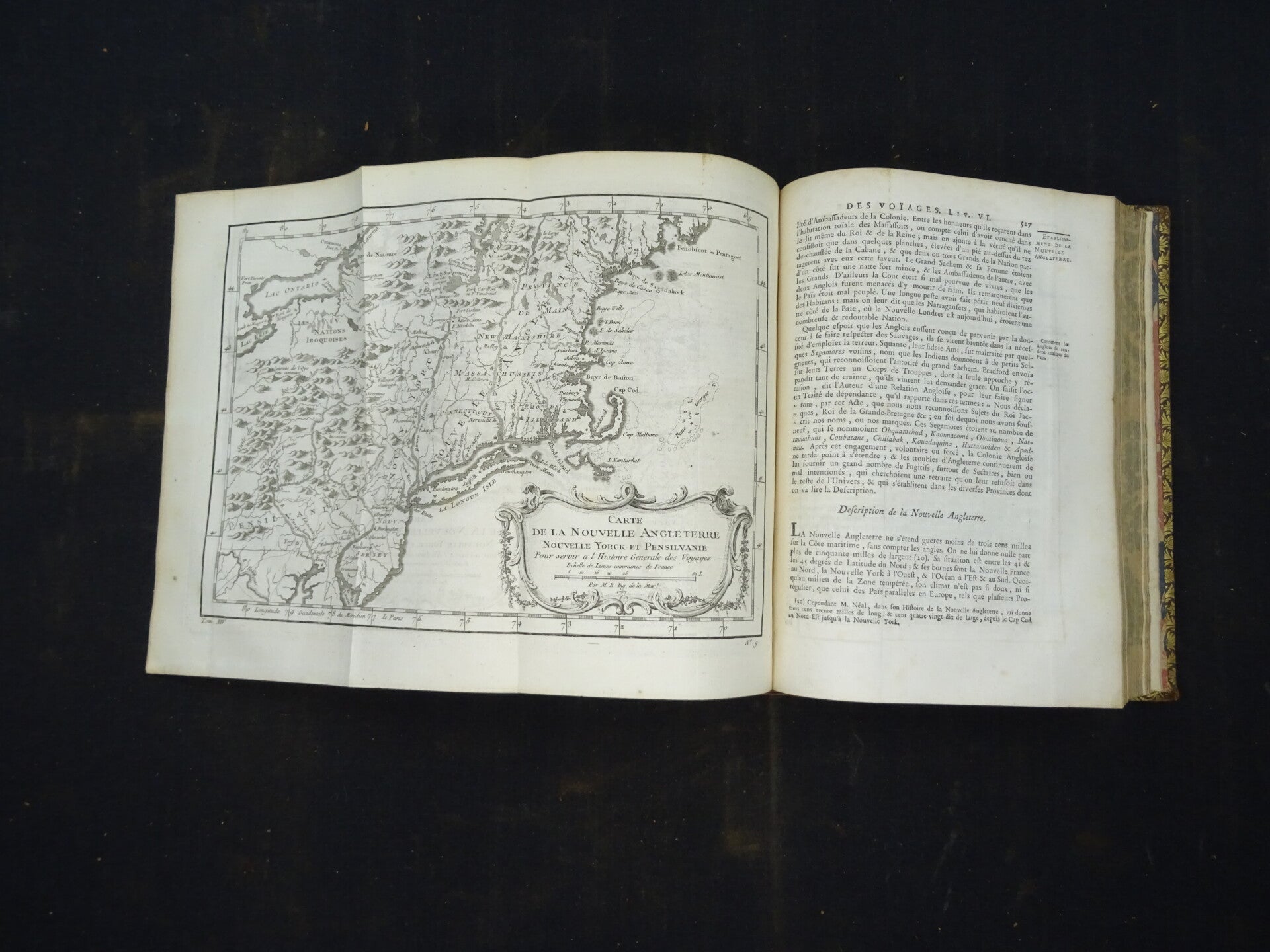
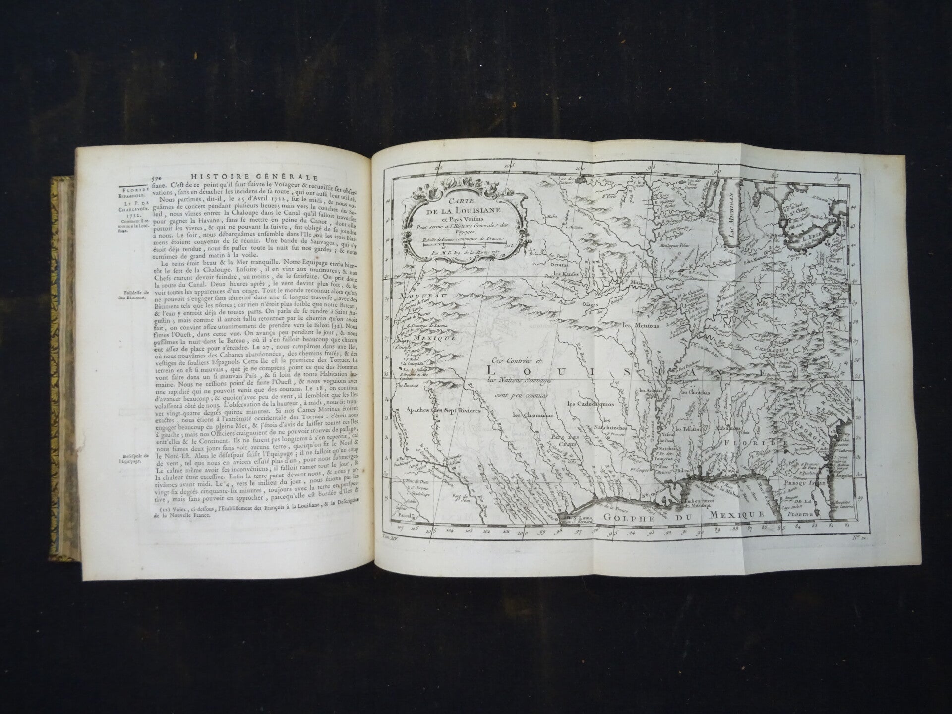
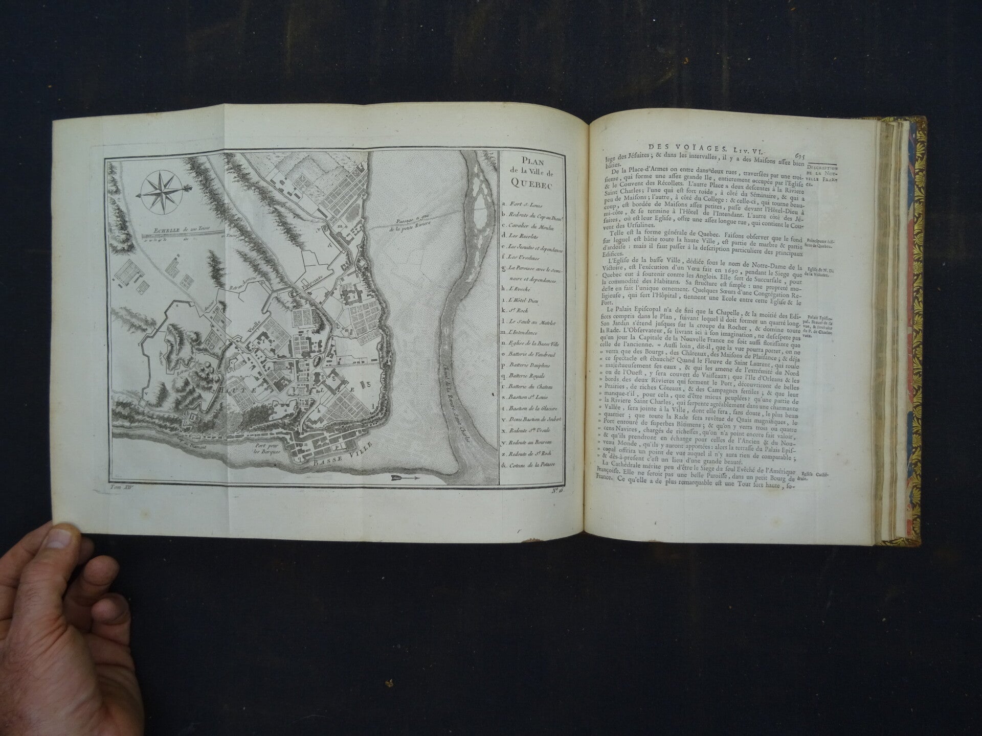
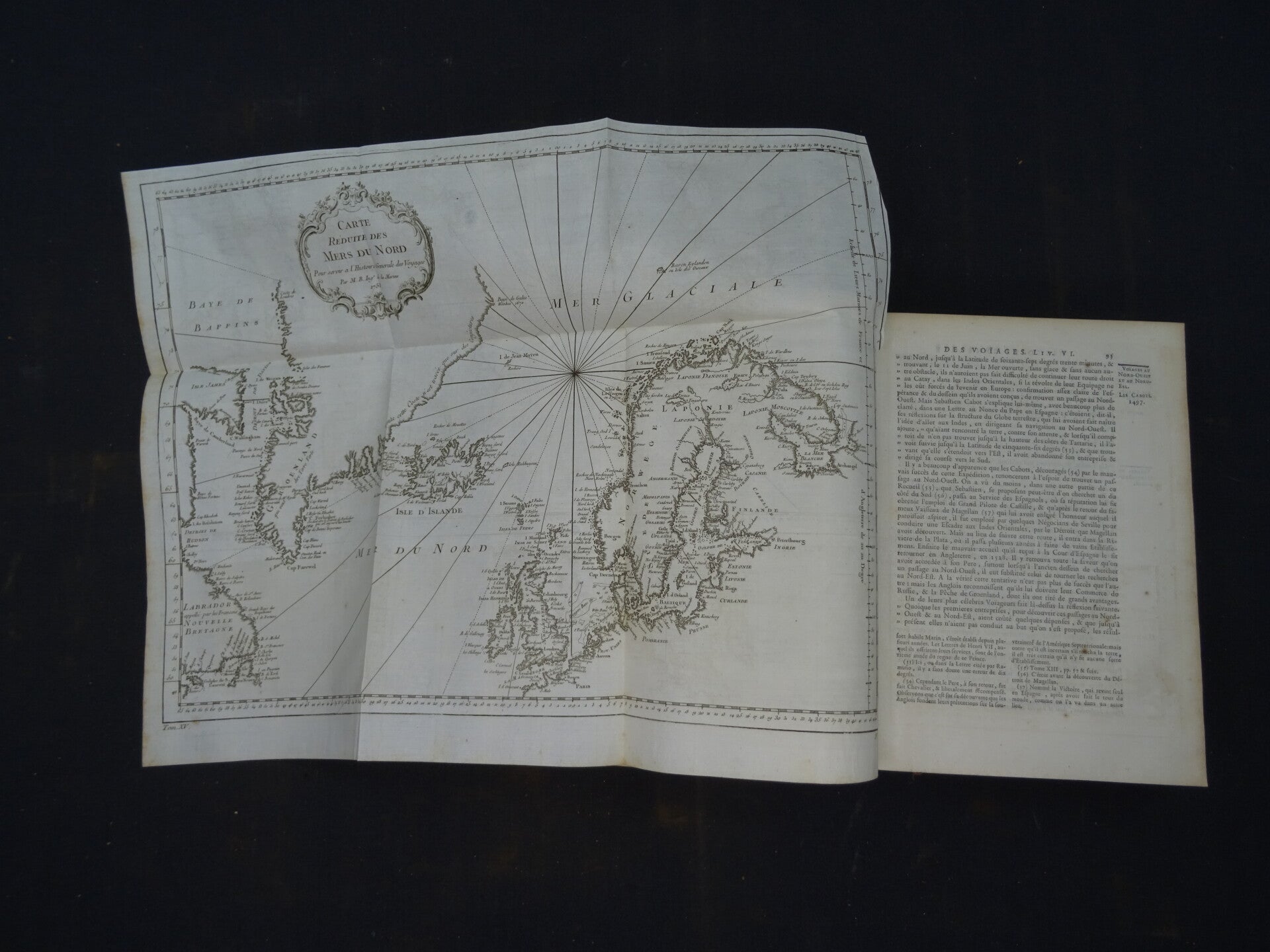
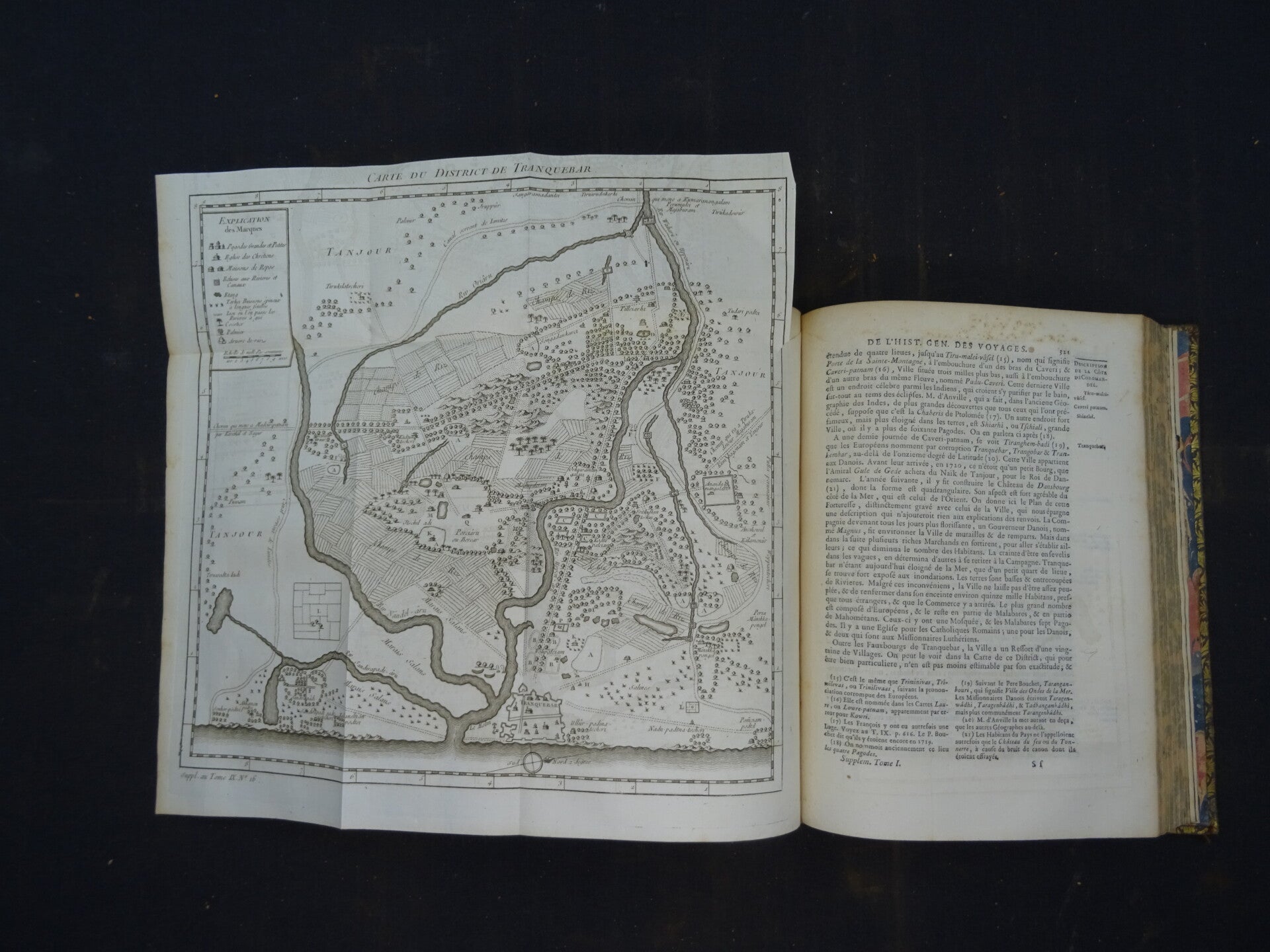
PRÉVOST (Antoine François d'Exiles, Abbé)
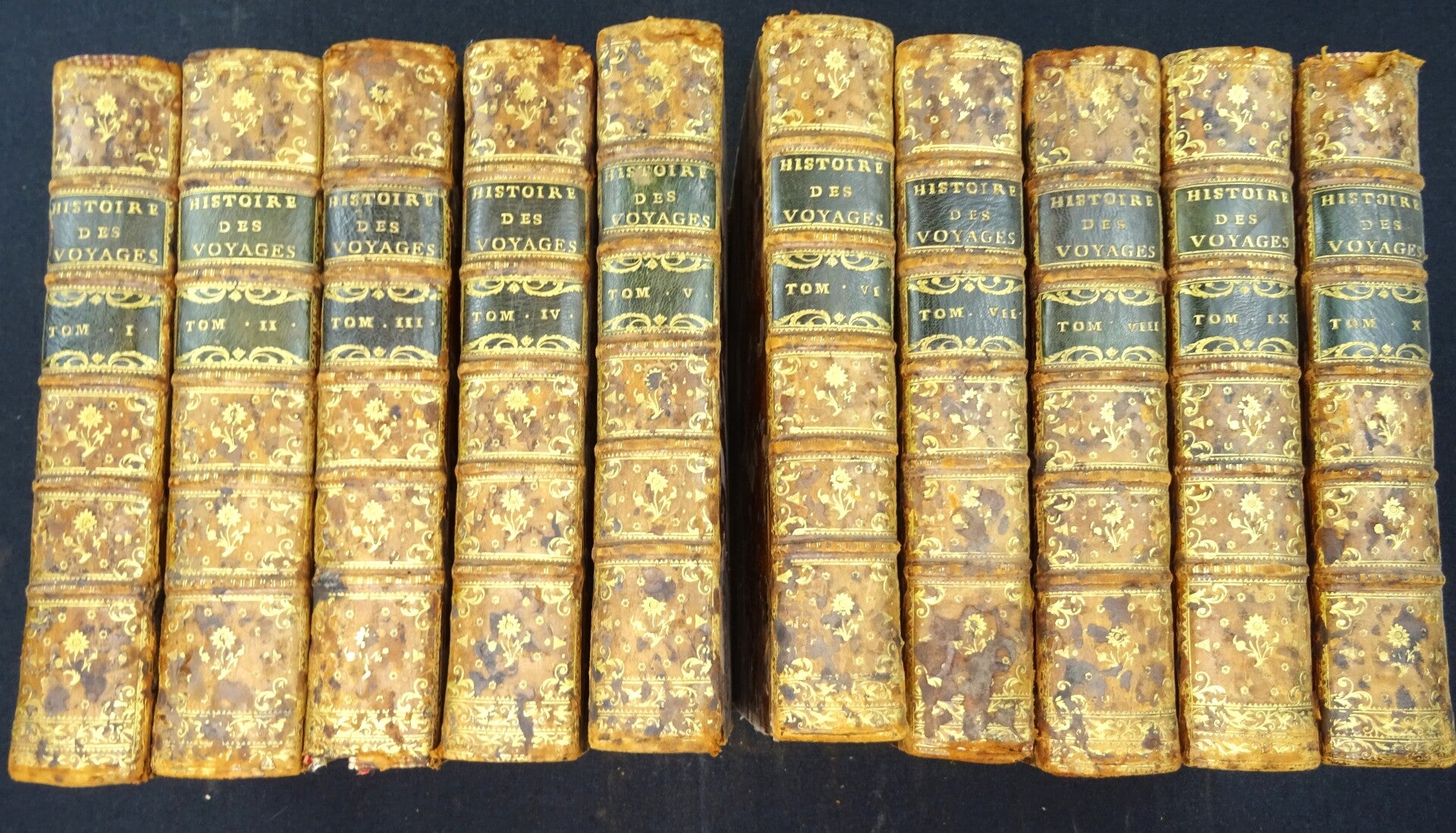
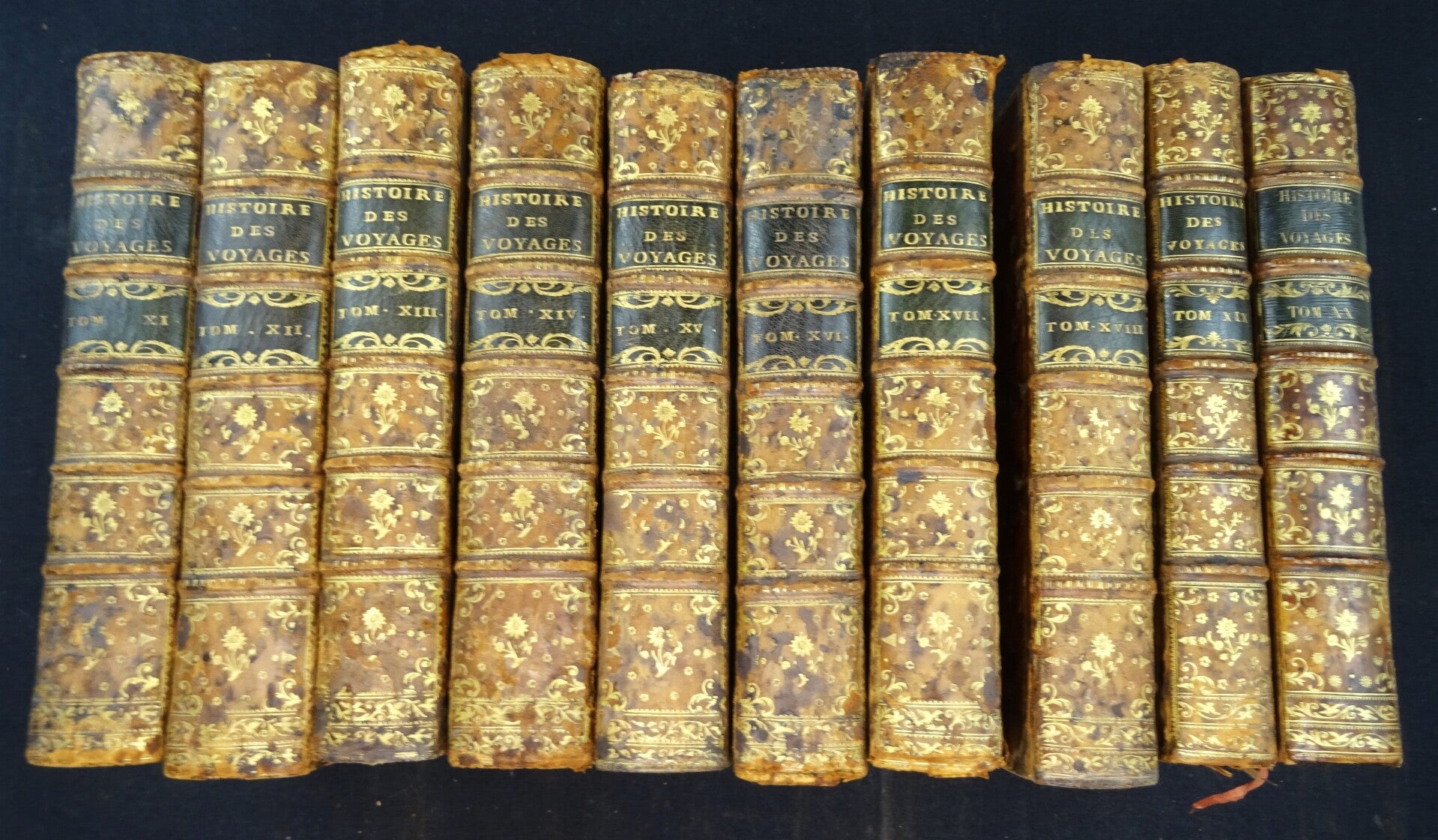
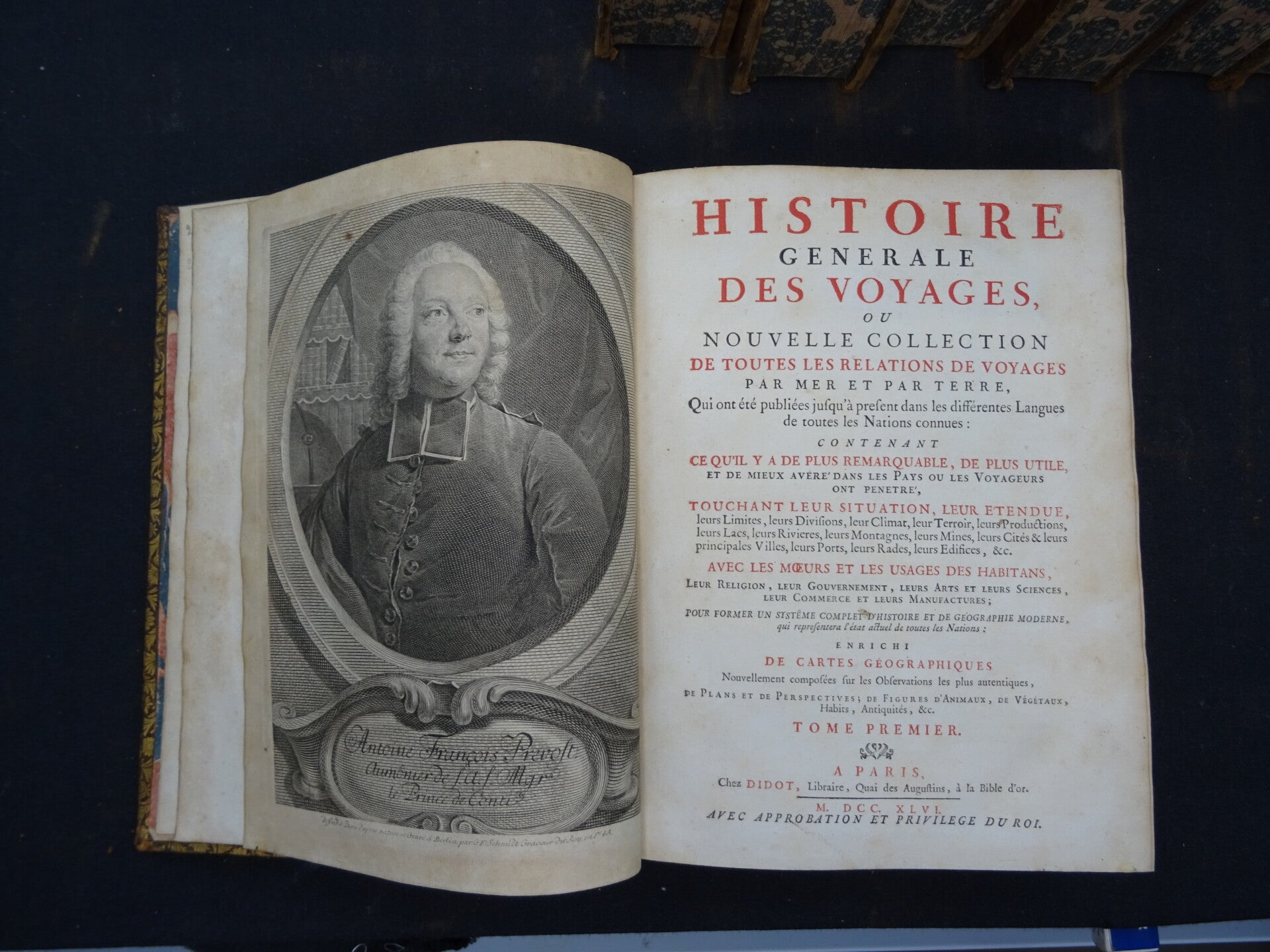
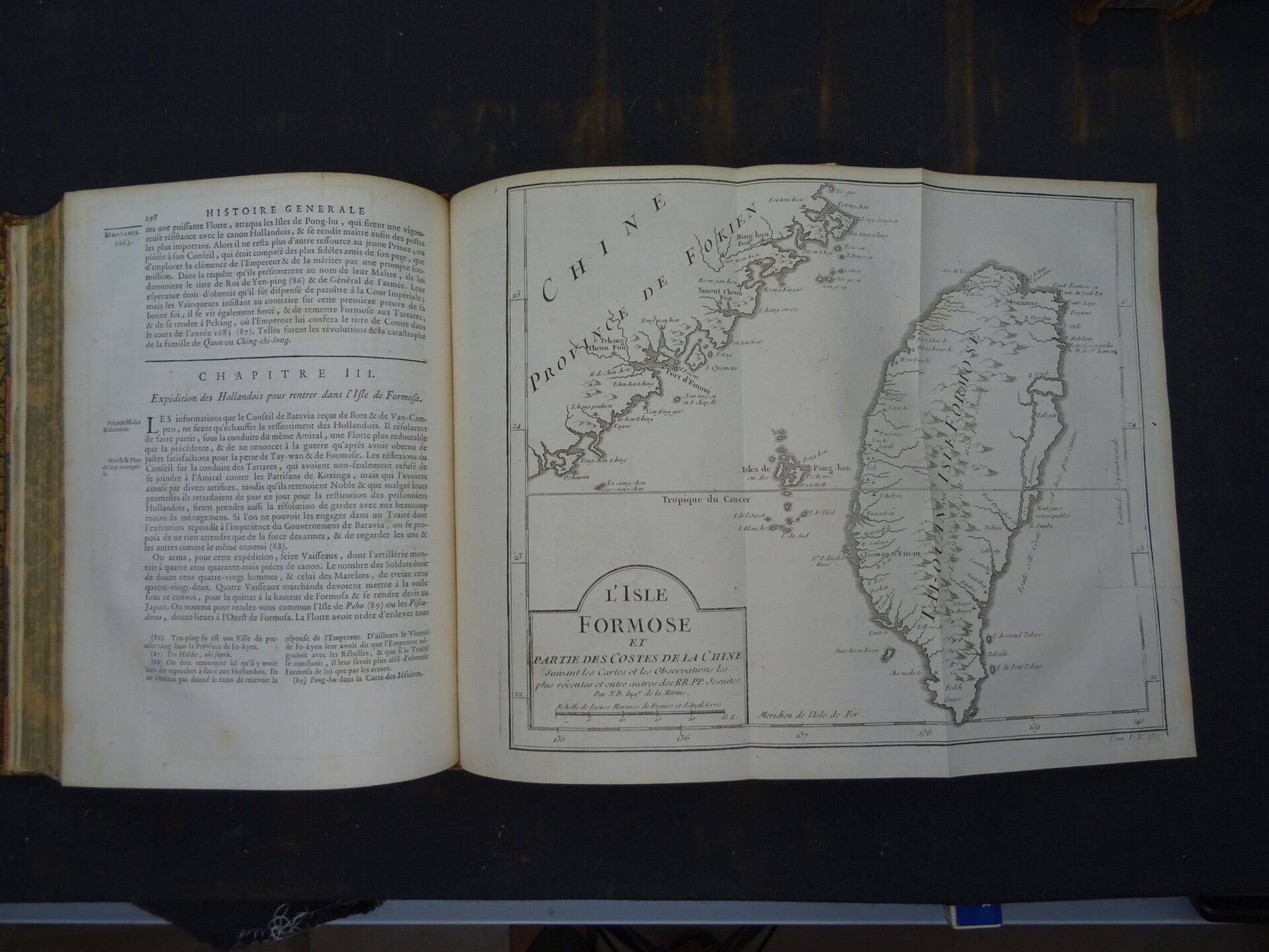
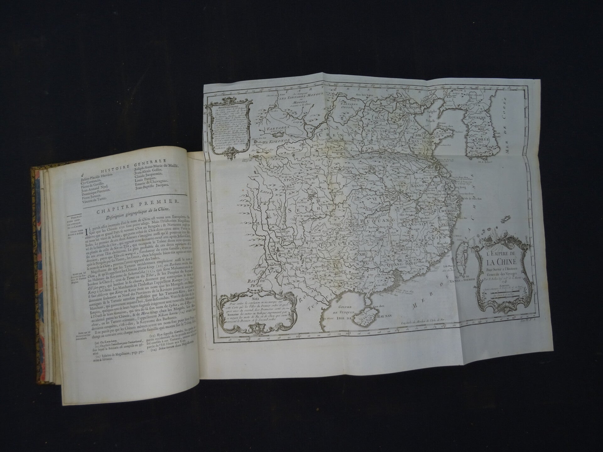
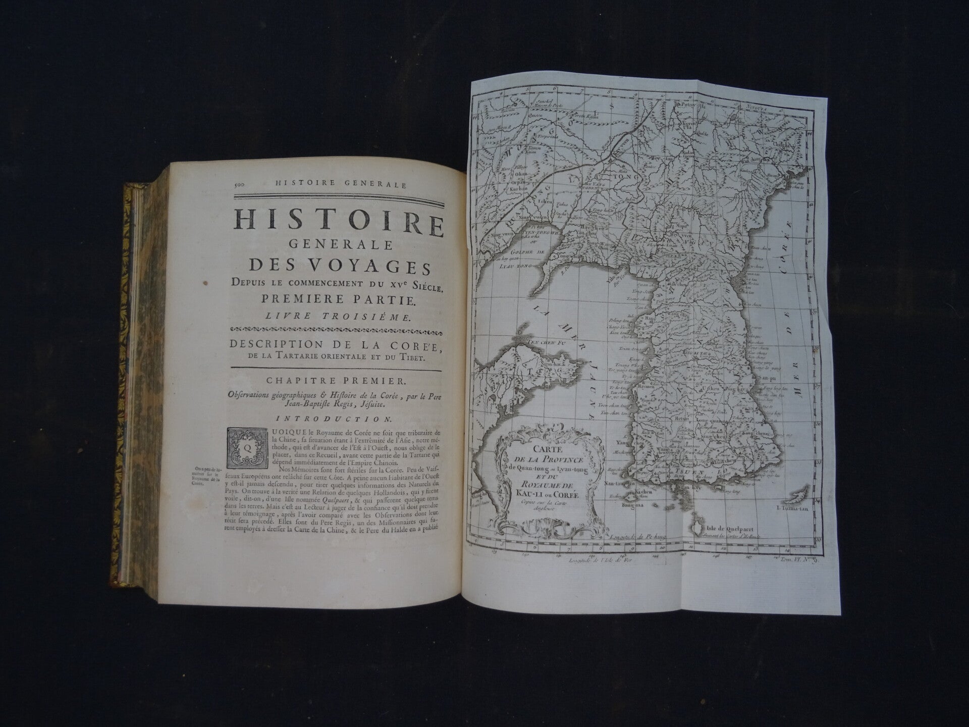
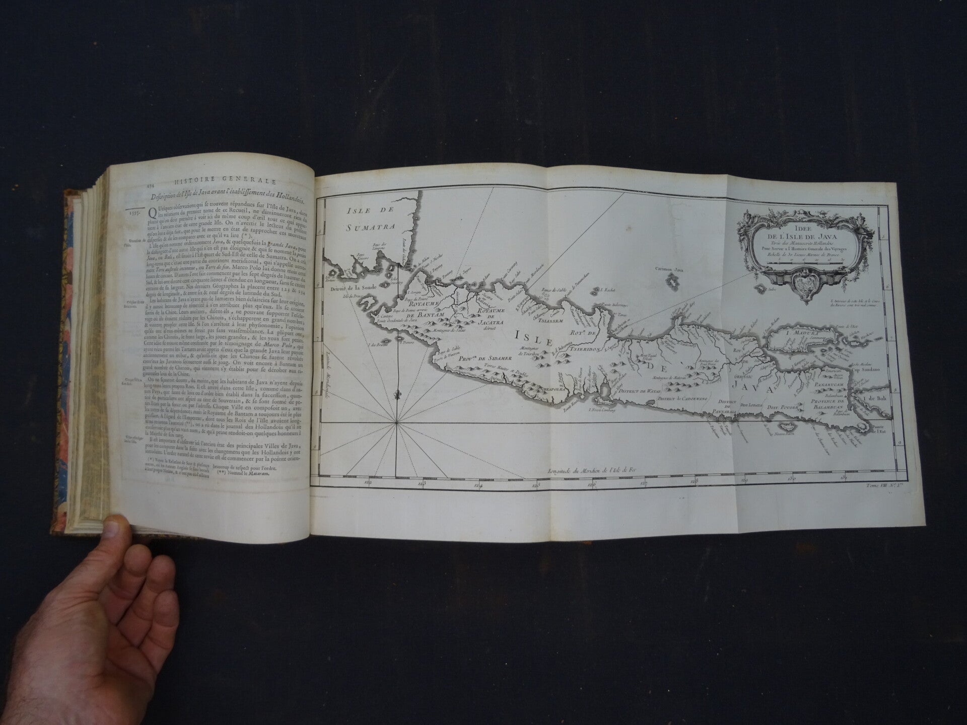
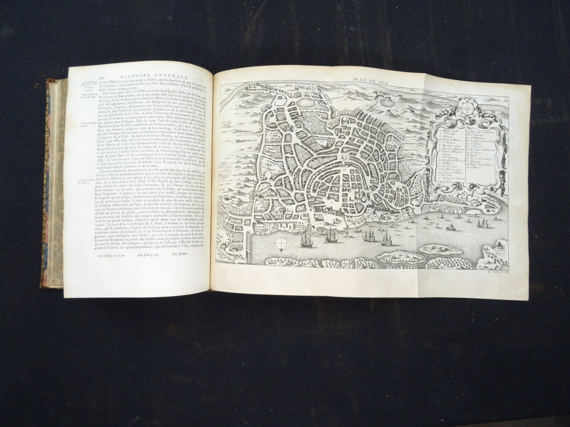
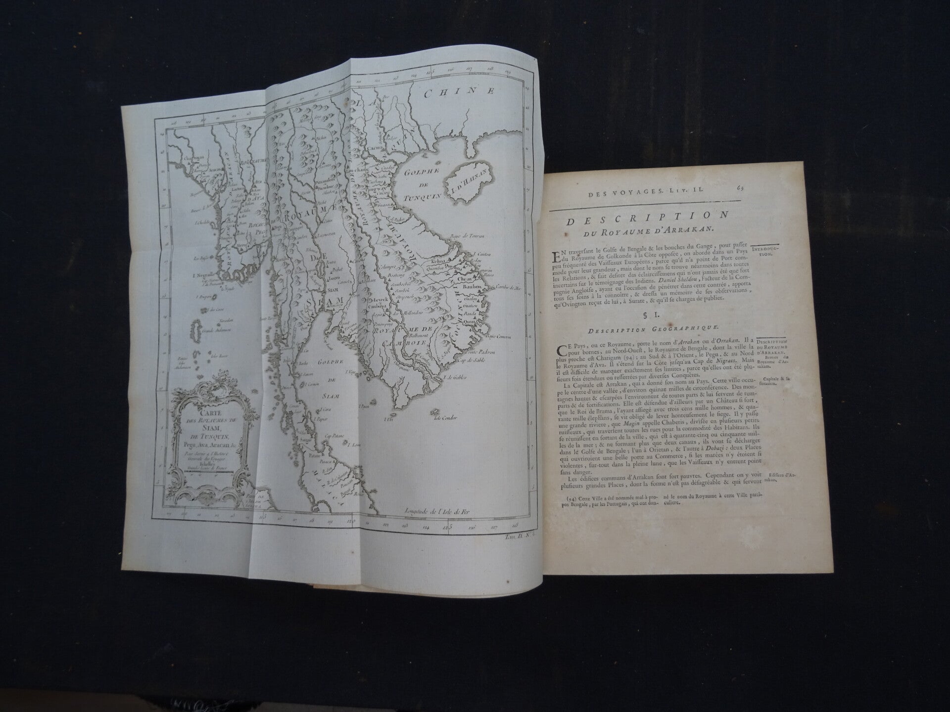
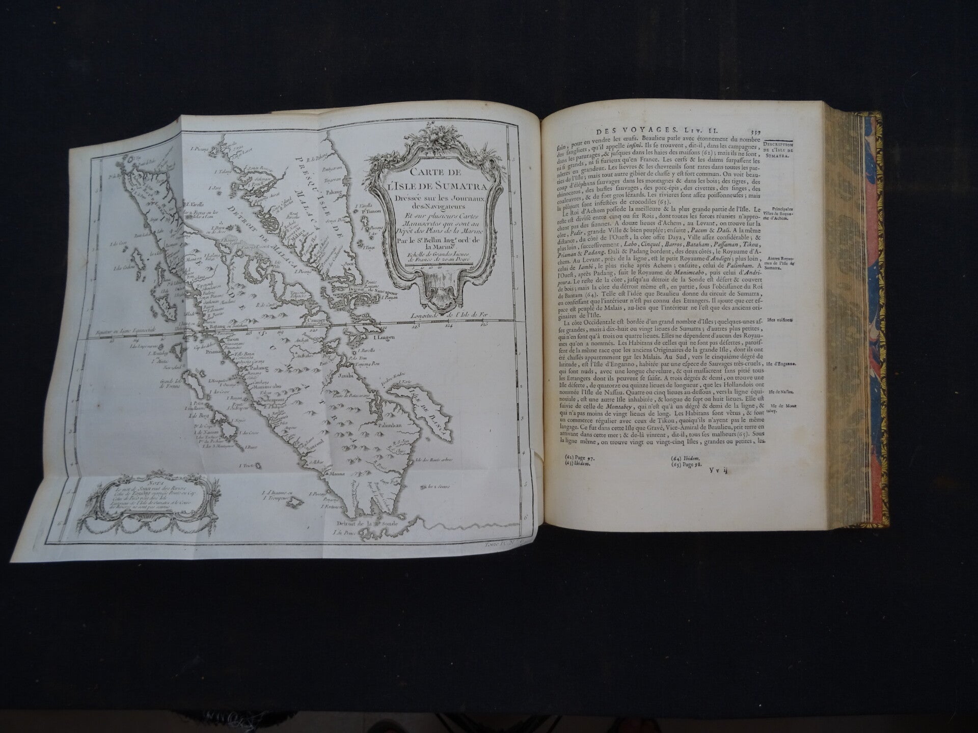
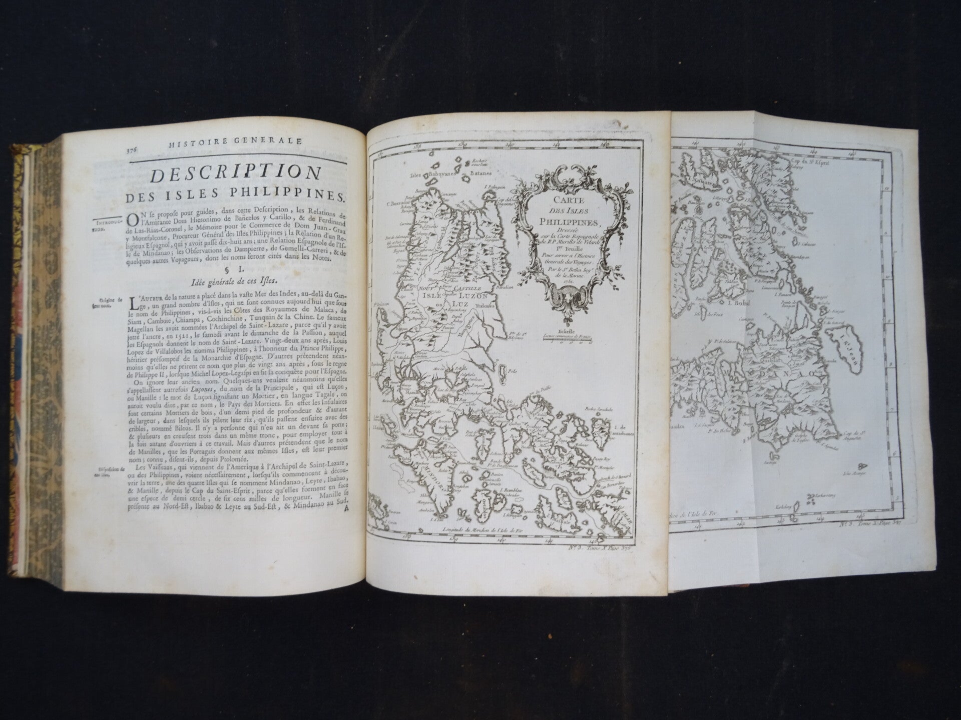
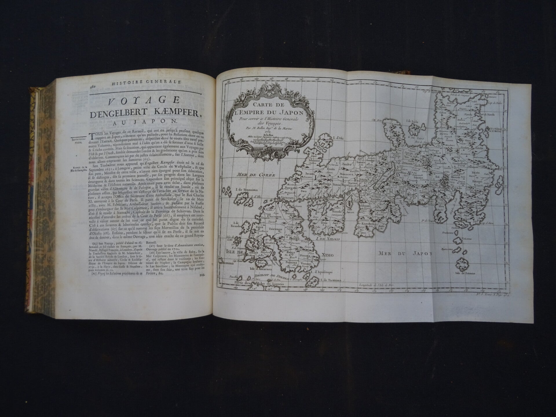
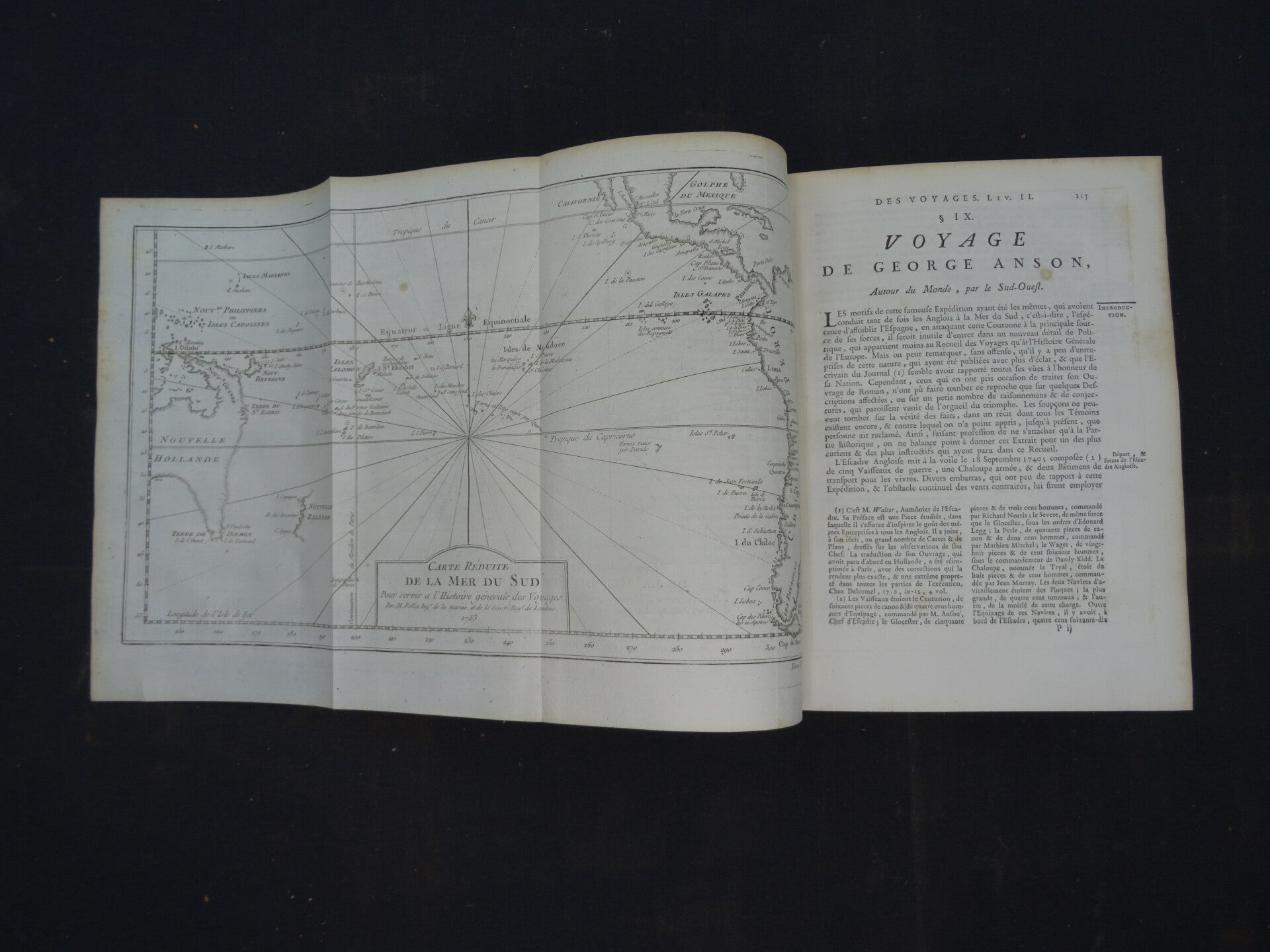
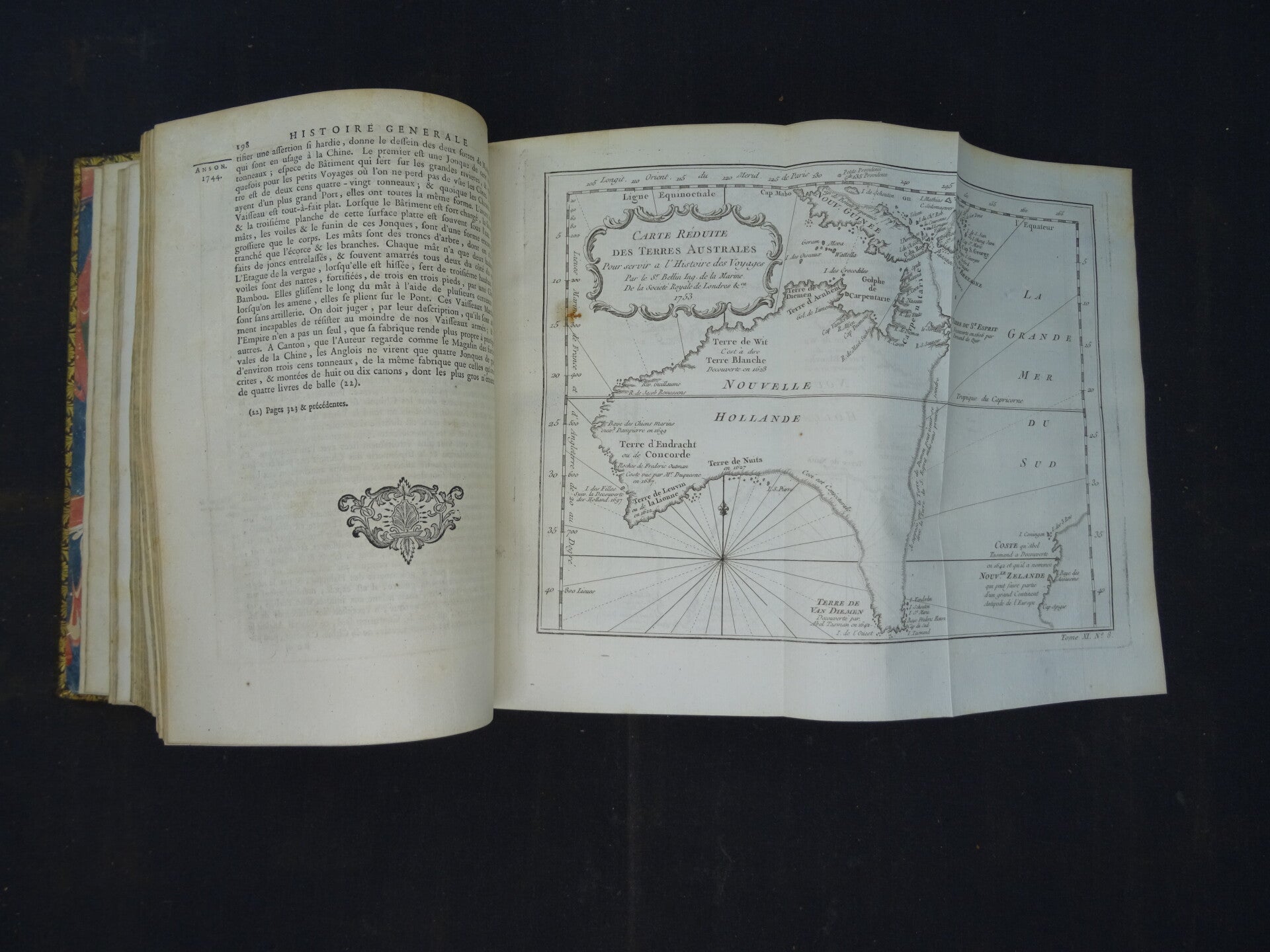
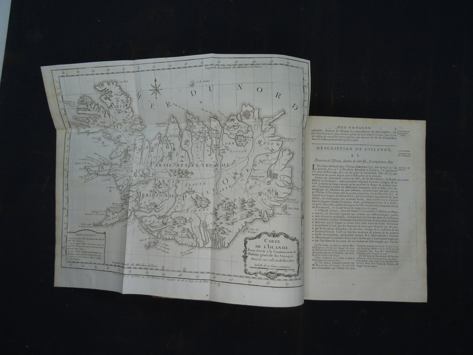
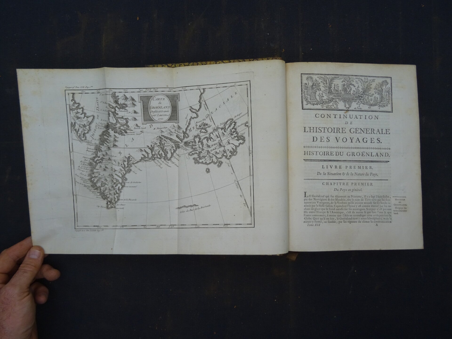
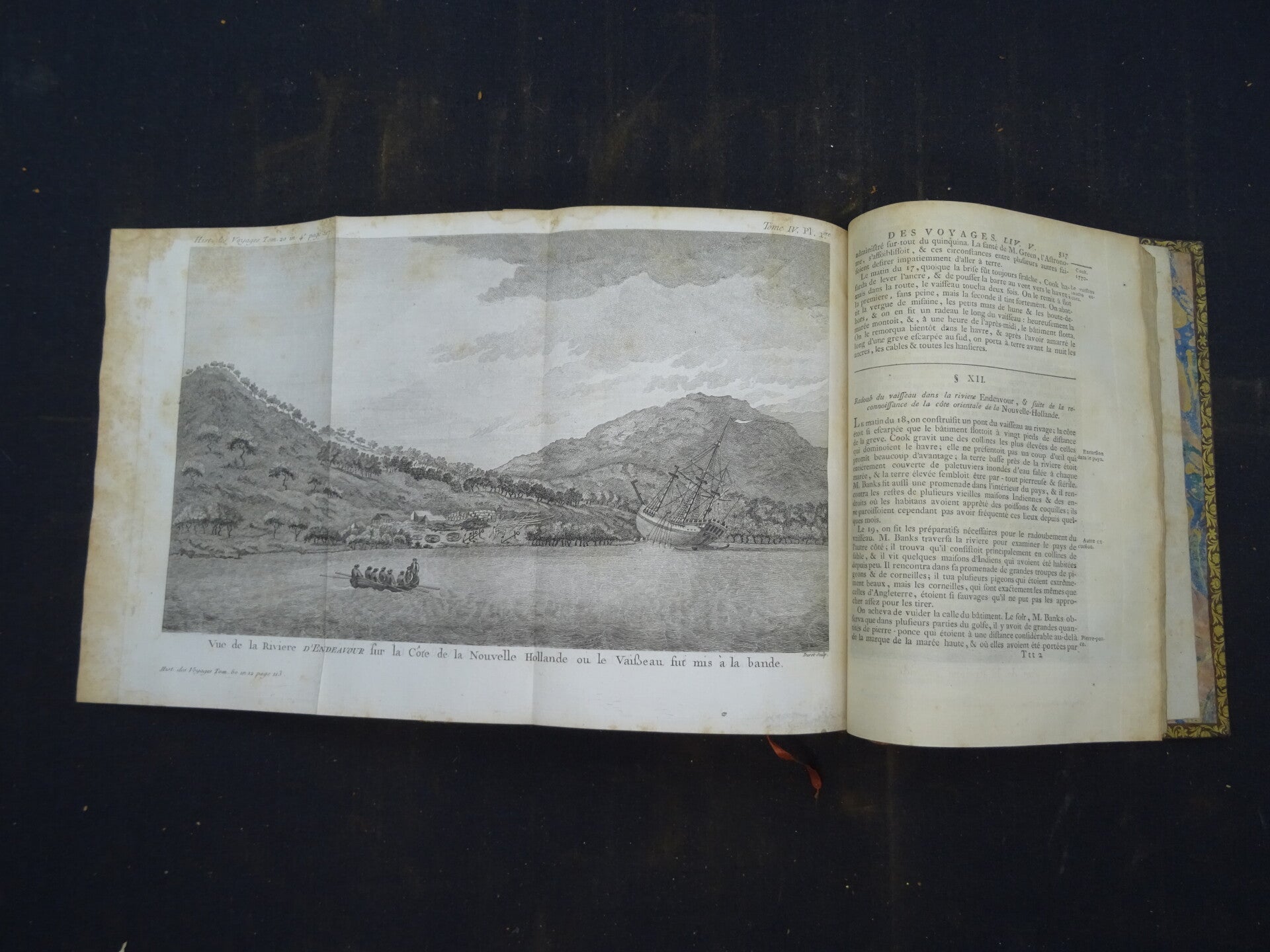
Histoire générale des voyages ou nouvelle collection de toutes les relations de voyages par mer et par terre, qui ont été publiés jusqu'à présent dans les différentes de toutes les nations connues[...] enrichi de cartes géographies nouvellement composées sur les observations les plus authentiques, de plans et de perspectives; de figures d'animaux, de végétaux, habits, antiquités, &c... Paris, Didot, Arkstée & Merkus, Rozet, Panckoucke, Moutardier 1746-1792.
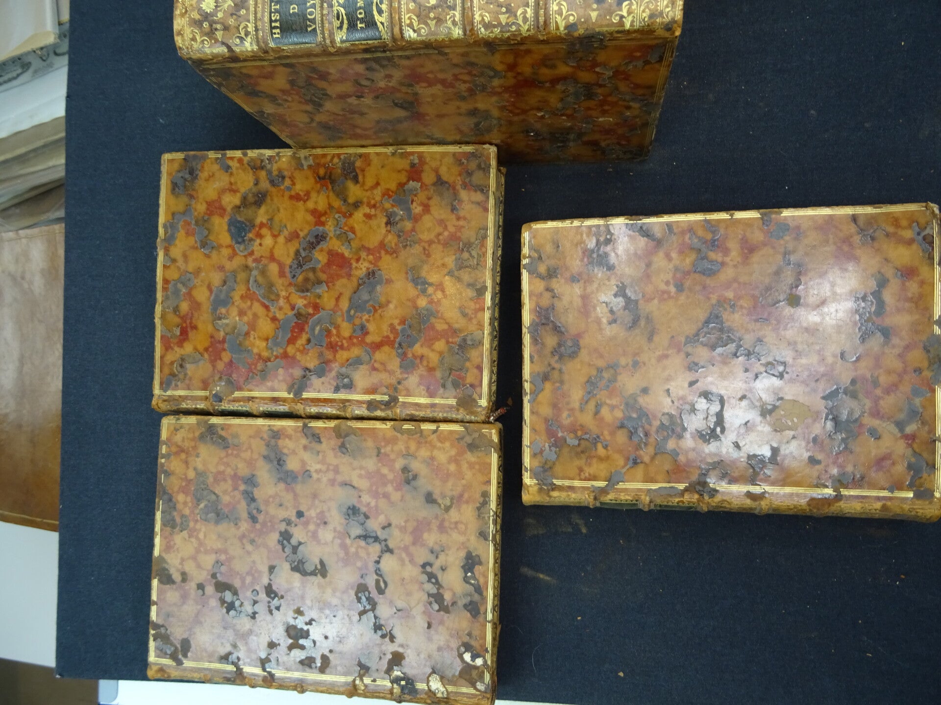
20 volumes in-4, tan glazed calf, ornate ribbed spines, brown and red marble title-pages, triple gilt fillet framing the boards, straw tr. speckled with red (period binding). Some rubbing and light damages. Bindings all good.
The series of 20 volumes consists of almost 600 hors texte plates (maps and images) distributed as follows:
Volume I: portrait of Abbé Prévost by Schmidt, 24 maps and out-of-text figures (as per table).
- Volume II: 28 maps and 24 figures (as per table).
- Volume III: 10 maps and 12 figures (as per table) + 12 supplement plates (natural history).
- Vol. IV: 16 maps, 24 figures (plates XII and XV are in Vol. V) (handwritten table) + the 5 supplement maps to Vol. I found here bound on page 8.
- Volume V: 23 maps and 34 figures + 6 supplement plates (natural history) (conforms to table)
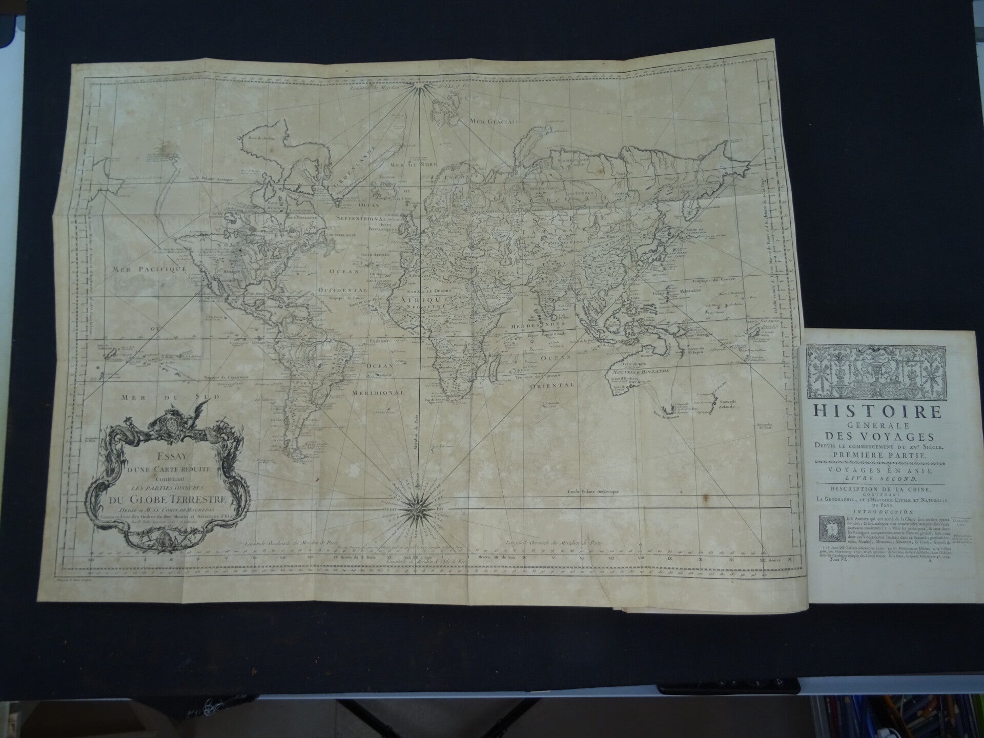
- Volume VI: 10 maps (including the world map which should have been placed in volume I and which is here at the end of volume VI) and 35 figures (as per table). Small wormholes in inner margins in places.
- Volume VII: 8 maps and 17 figures (as per table).
- Volume VIII: 11 maps and 15 figures (as per table).
- Volume IX: 8 maps and 18 figures (as per table)
- Volume X: 8 maps (including 2 in 2 sheets) and 17 figures (as per table)
- Volume XI: 11 maps and 14 figures (as per table)
- Volume XII: 13 cards and 16 figures (as per table)
- Volume XIII: 13 maps and 12 figures (including the table by La Condamine) (as per table)
- Volume XIV: 19 maps and 9 figures (as per table)
- Volume XV: 17 maps and 11 figures (as per table)
- Volume XVI: no plates (table volume)
- Volume XVII: 31 plates and maps (as per table)
- Volume XVIII: 36 plates and maps (as per table)
- Volume XIX: 3 maps and 13 figures (as per table)
- Volume XX: 2 maps and 6 figures (as per table)
Scattered foxing, age browing in places, a few leaves browned.
Beautiful set (complete with the rare 20th and last volume) in fine uniform contemporary binding, of this immense encyclopedic compilation of travels, remarkable for the large number of reports and documents it offers on the discoveries in the two Americas.
"This work, a veritable encyclopedia of travel, is the indispensable foundation of any American library. In addition to the large number of reports, voyages, documents, etc., which it contains on the two Americas, it is also sought after for the maps and beautiful figures [...] which were engraved by skilful artists on Cochin's drawings; the figures represent views of towns, types of Indians, scenes of customs, plans of Quebec, Boston, New Orleans, etc." (Chadenat).
The first 15 volumes contain the Histoire générale des voyages published by Abbé Prévost (Paris, Didot, 1746-1759); the 16th, the Table alphabétique des matières procured by Champré (ibid., 1761); the 17th, the Suite de l'Histoire générale des voyages (Amsterdam, Arkstée & Merkus, 1761); and the last 2, the Continuation de l'Histoire générale des voyages (Paris, Rozet, 1768; Panckoucke, 1770). The 20th volume (Maradan, 1792), which is often missing as it was first published nineteen years after the previous one and in smaller numbers, is also present here.
BEWARE: SHIPPING ONLY POSSIBLE WITHIN EUROPE, VERY HEAVY, THE 20 BOOKS WEIGH OVER 35 KILOS, INFORM ABOUT SHIPPING COSTS