

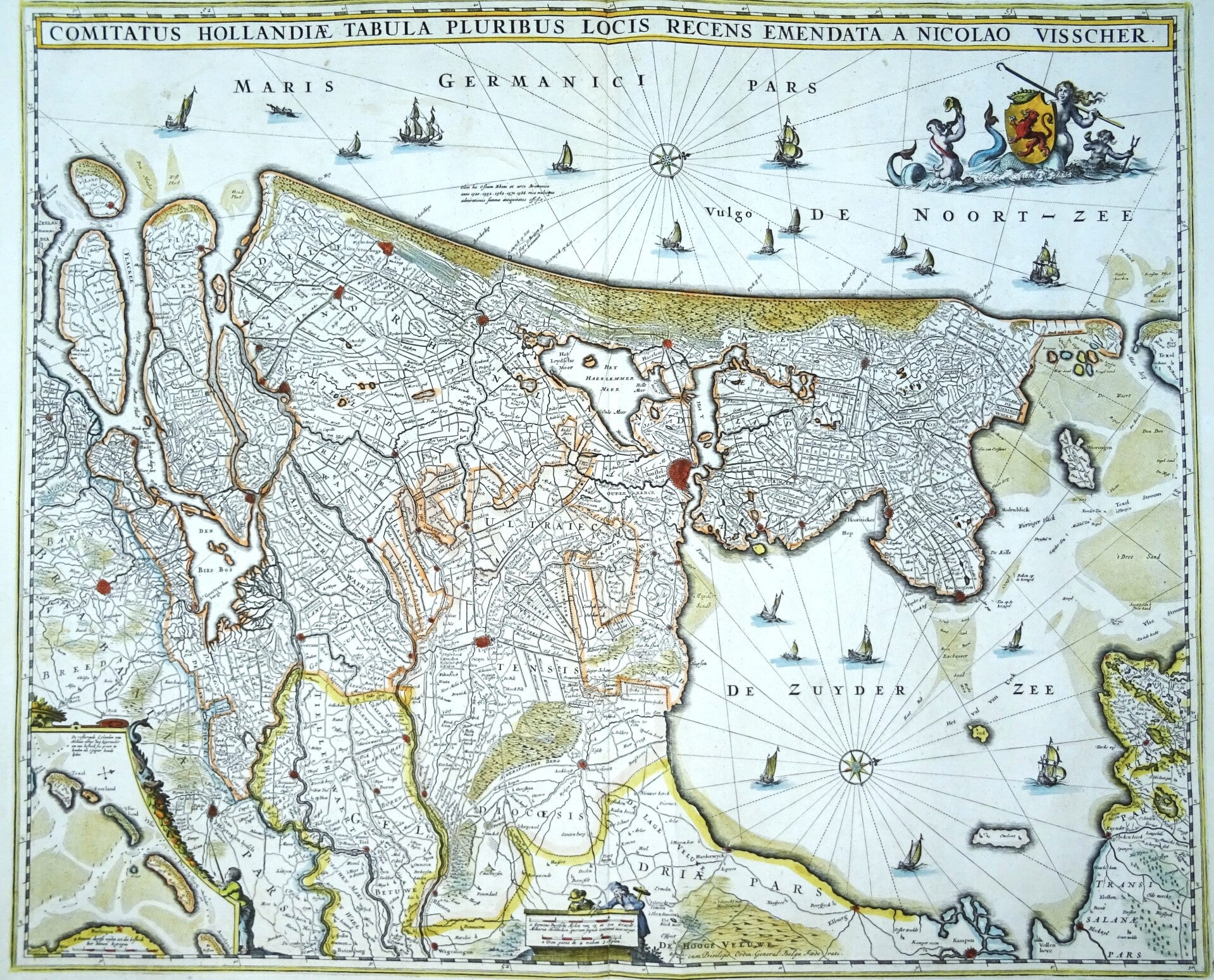
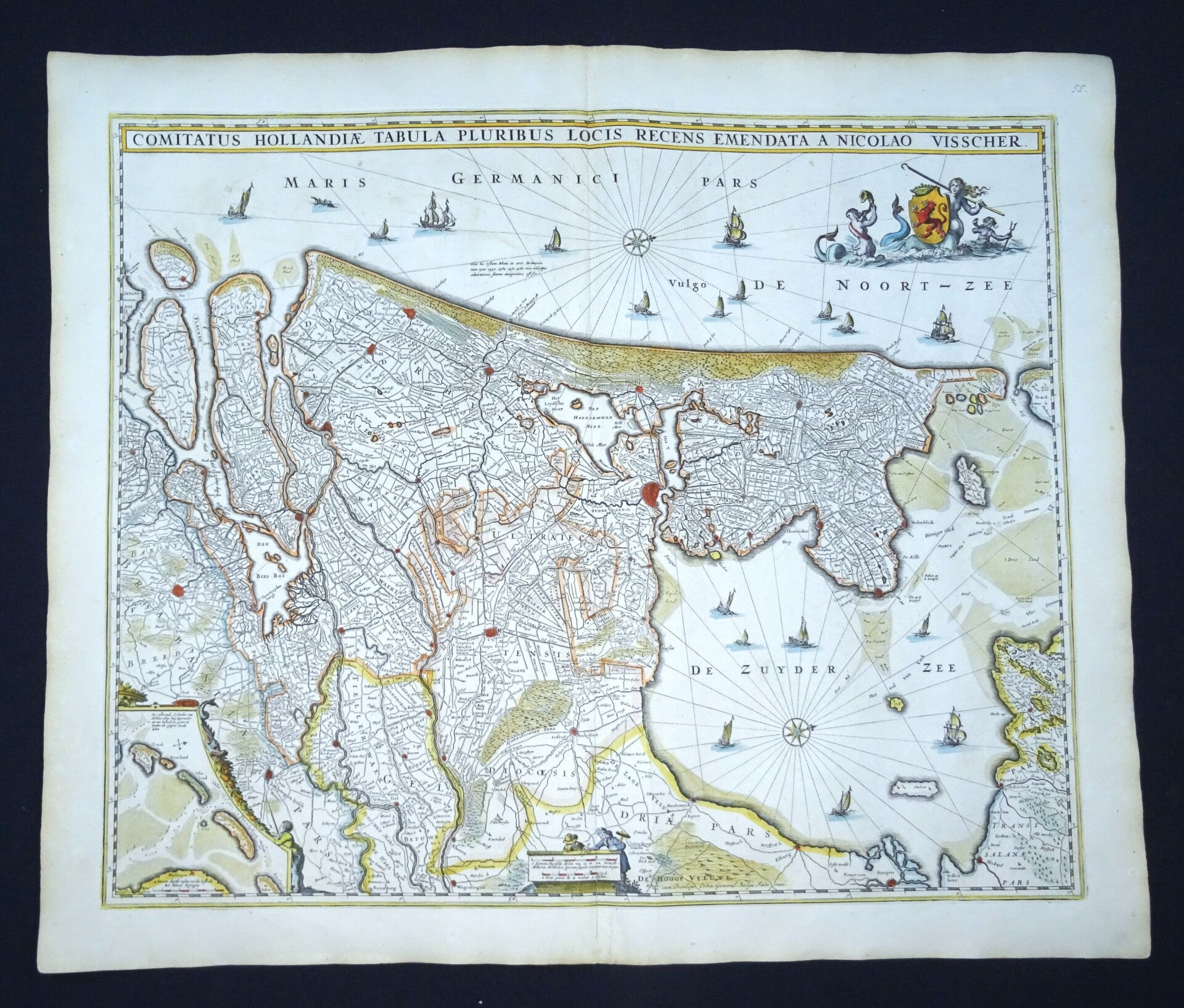
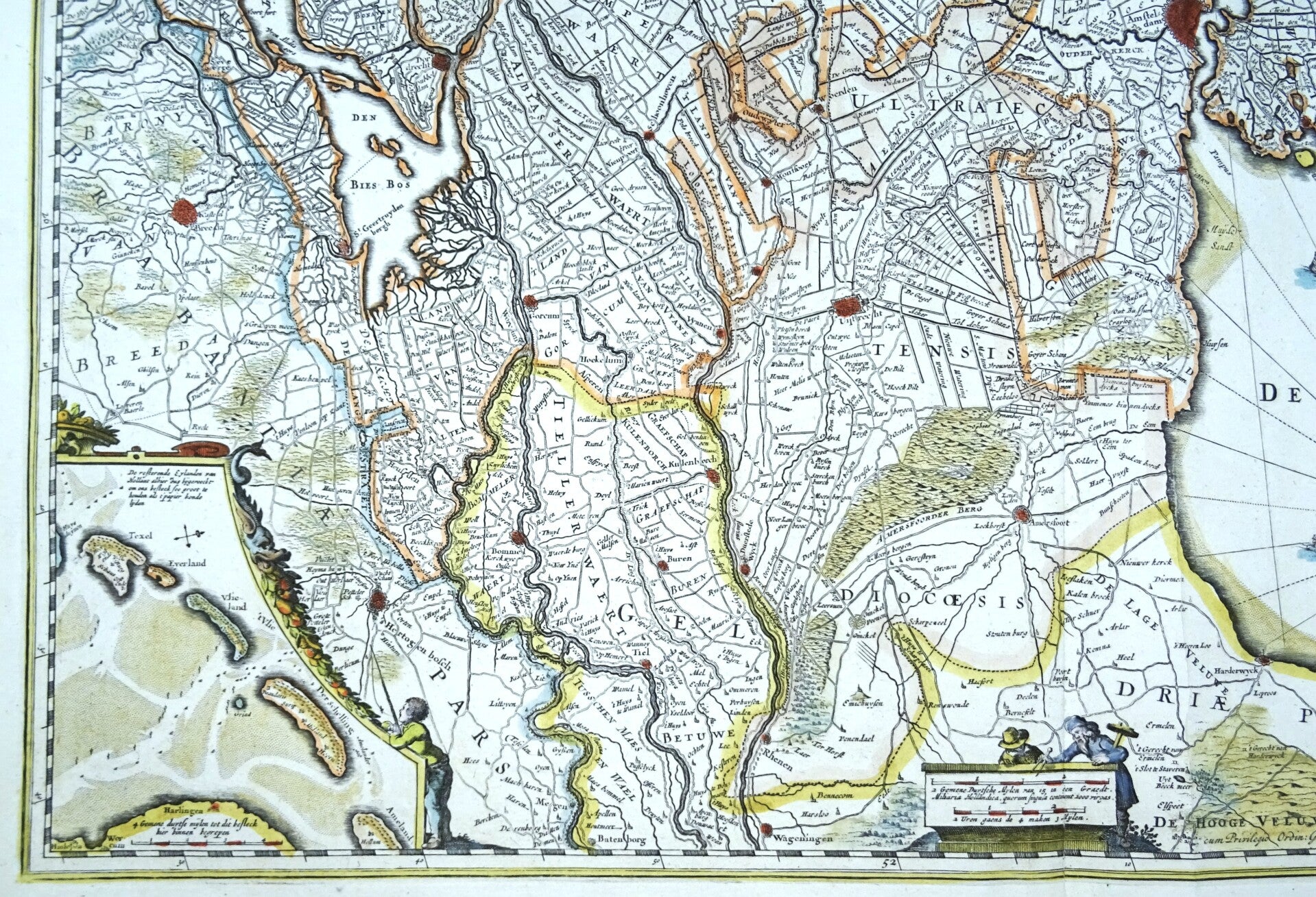
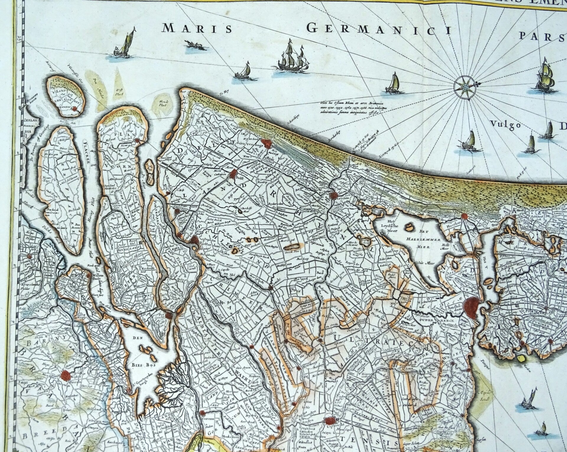
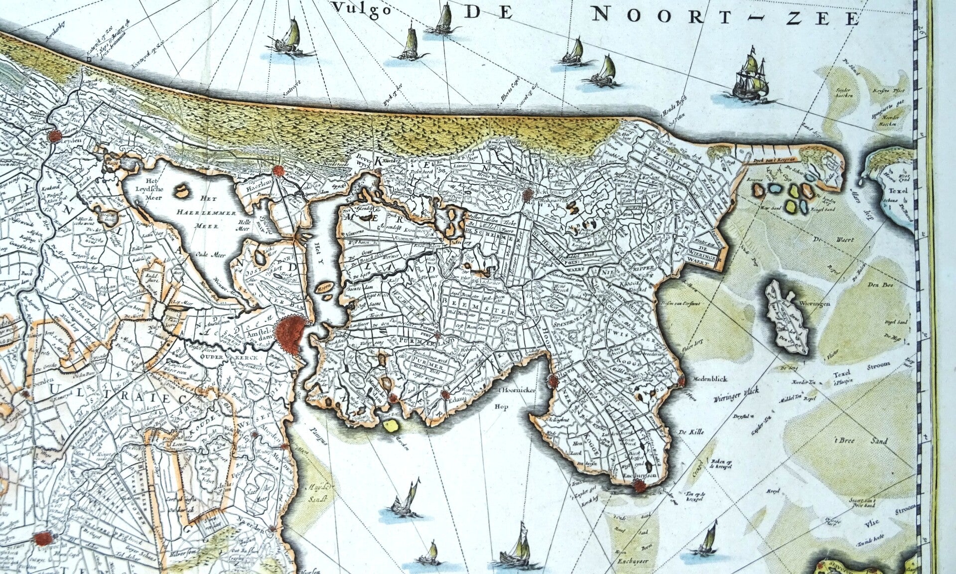
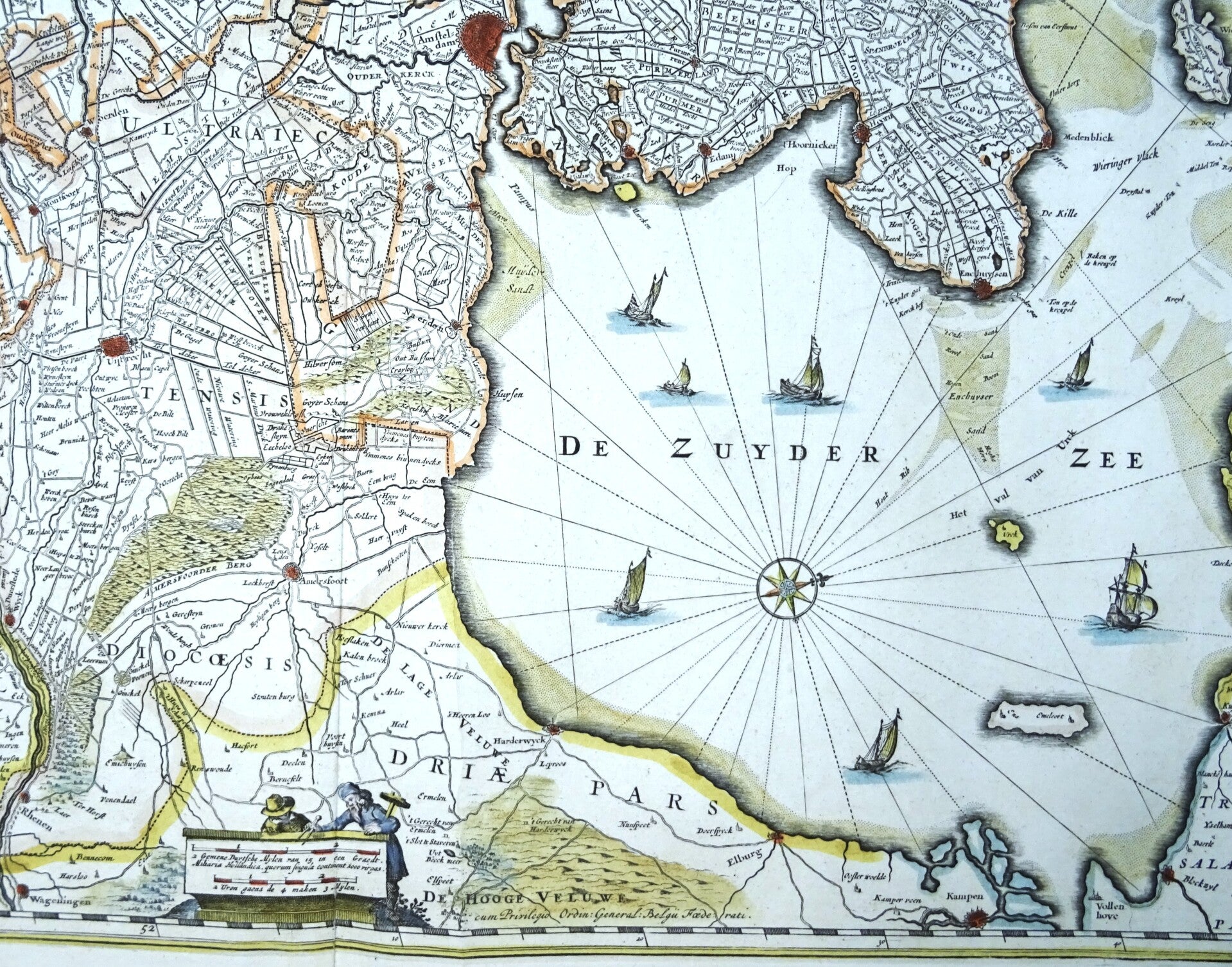
Netherlands, North & South Holland, Utrecht, N. Visscher, 1680, Comitatus Hollandiae Tabula Pluribus Locus Recens Emmendata a Nicolao Visscher
€299.00
Item number:
25 21 BS
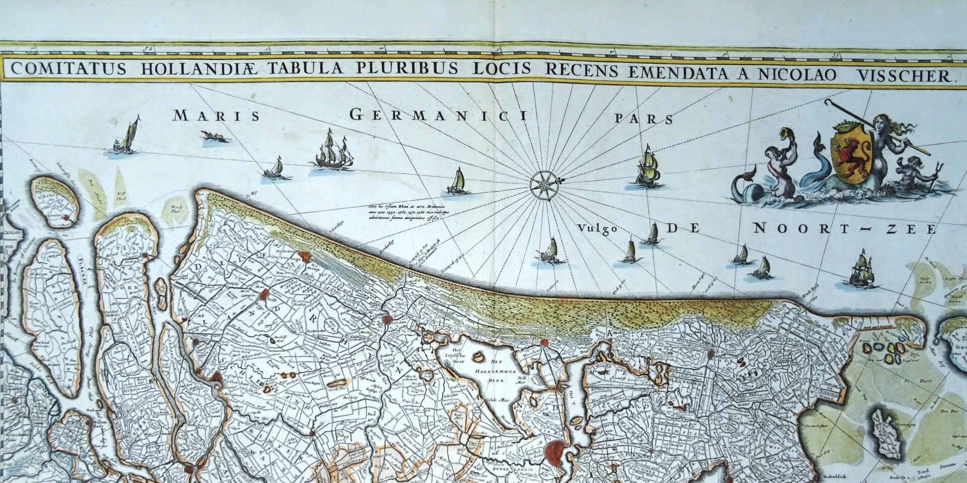
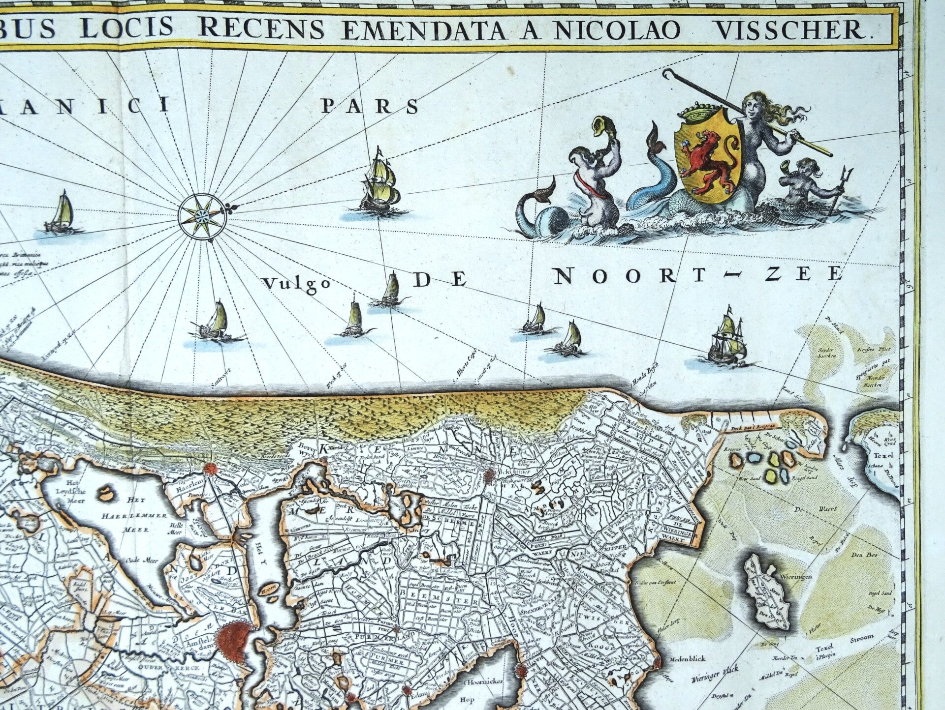
Impressive antique map of Holland and Utrecht. Decorated with a beautiful cartouche, many sail ships and an inset map of the islands in the Waddensea.
Published around 1680 by N. Visscher, in Amsterdam.
Excellent condition
Image 46,5x55,5cm, sheet 54x64cm