

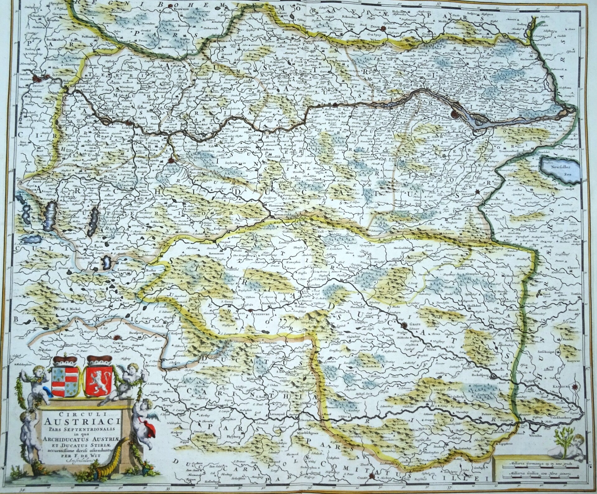
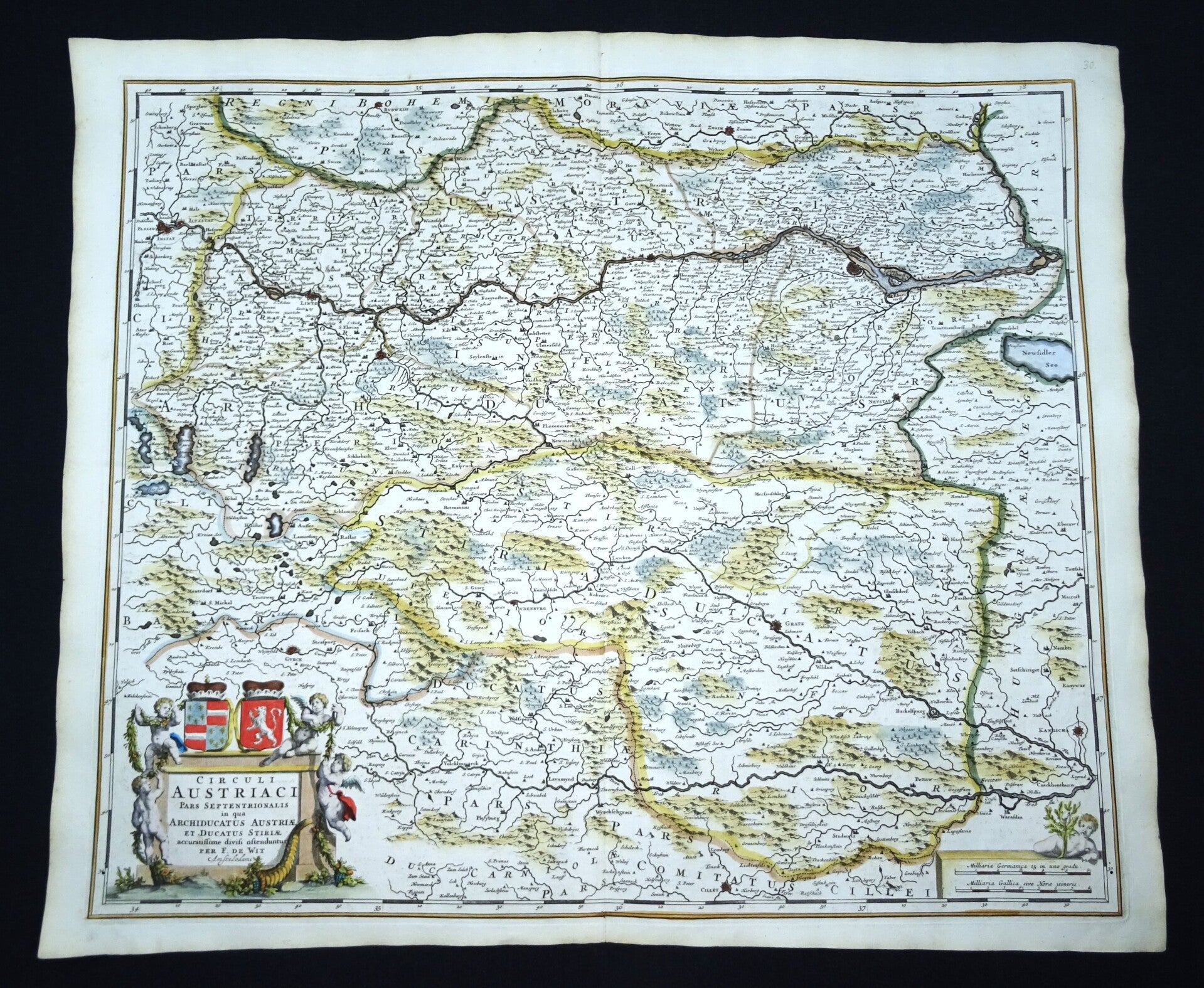
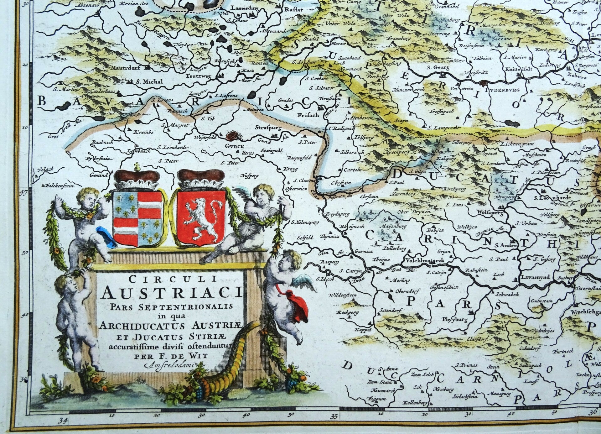
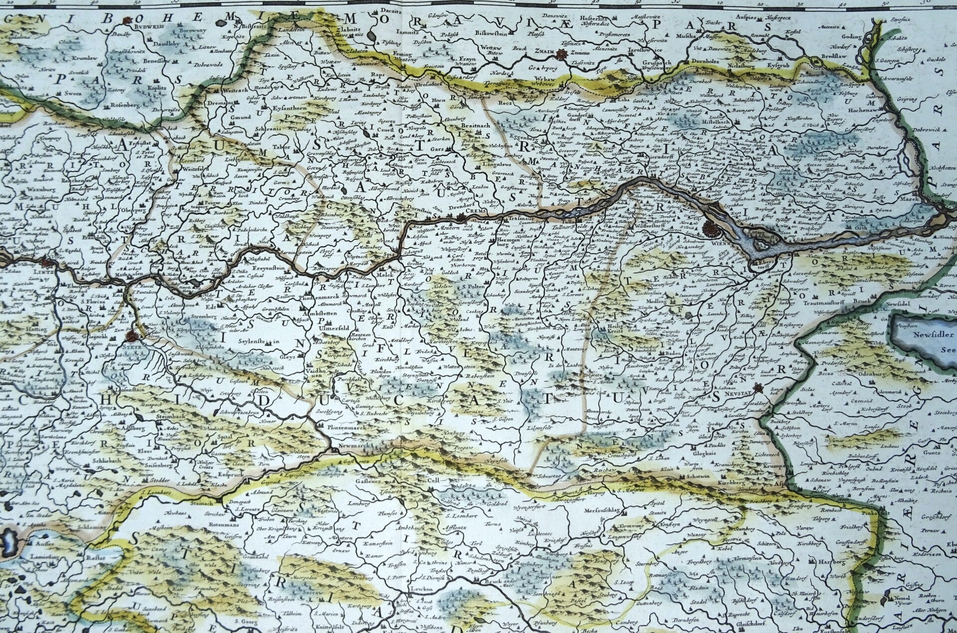
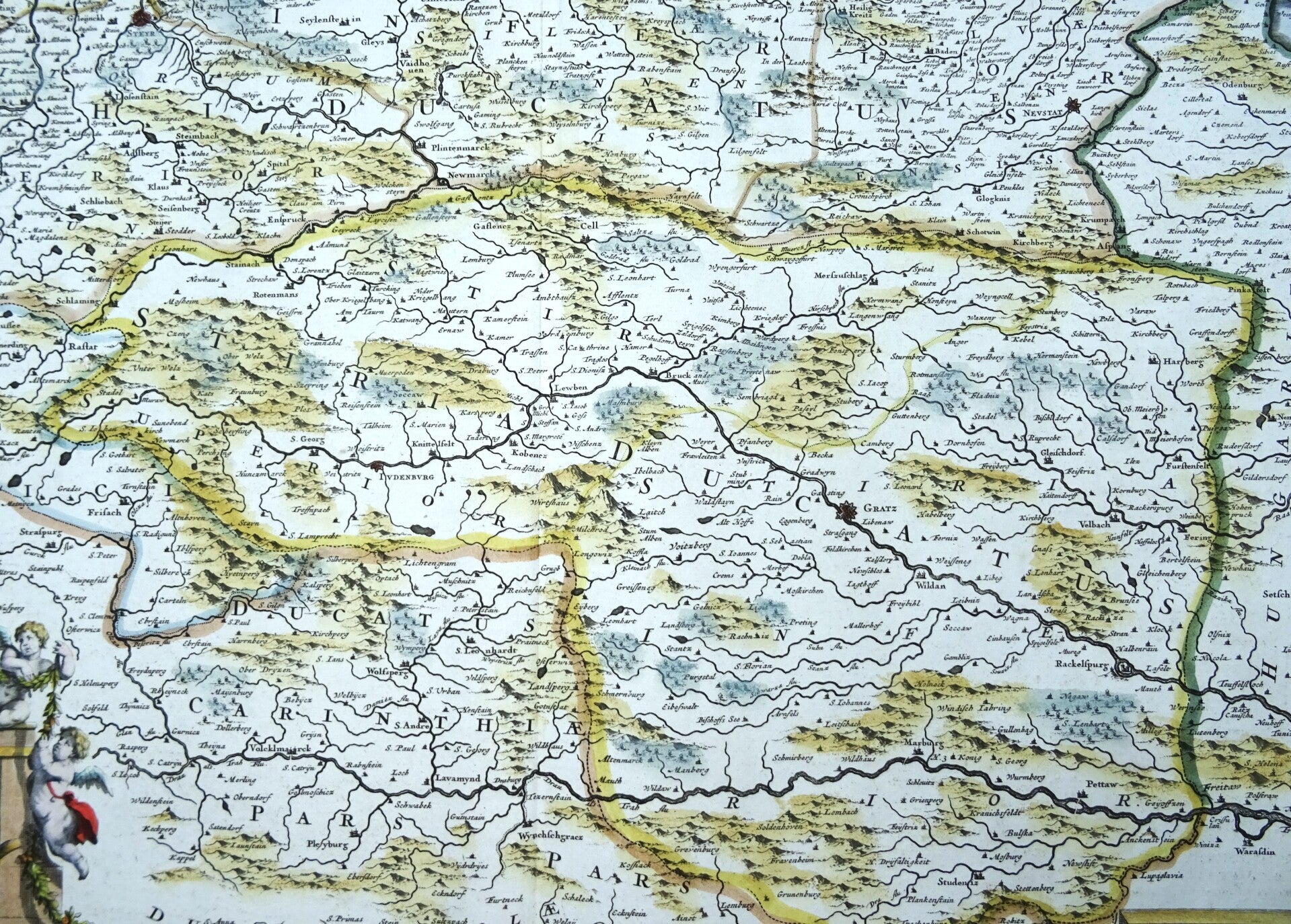
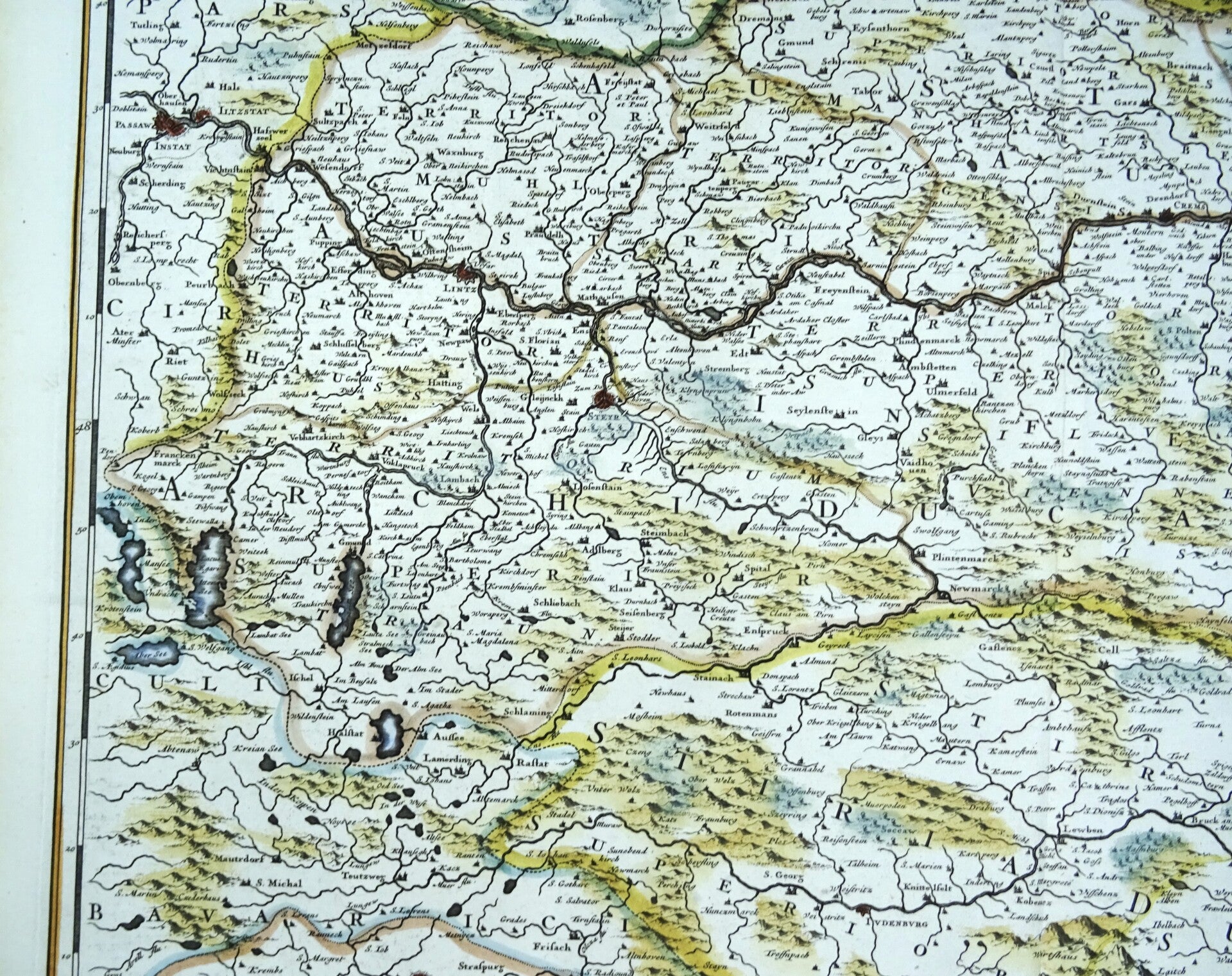
Austria, F. de Wit, 1680, Circuli Austriaci pars Septentrionalis in qua Archiducatus Austriae et Ducatus Stiriae
€149.00
Item number:
25 21 AT
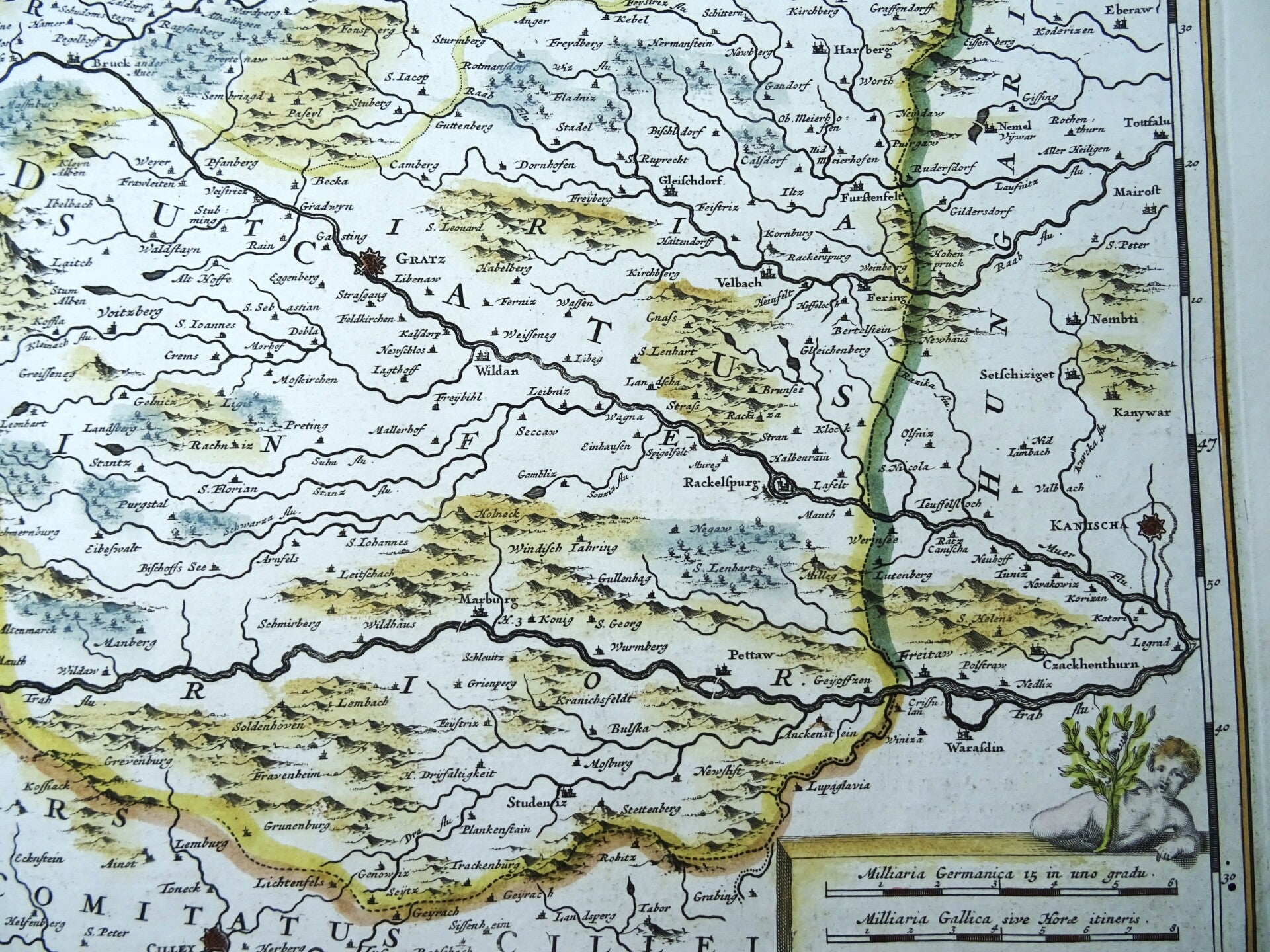
Large folio sized 17th century very detailed map of Upper Austria and Lower Austria by F. de Wit. Shows the area along the Danube from Braunau and Passau, Linz, Enns, Grein, Ypps, Vienna, up to Bratislava. Below left the Königsee, Wolfgangsee, Attensee, Traunsee and Hallstätter See, in the east the Neusiedler See. At the lower right a beautiful title cartouche.
This map was published by Frederik de With in Amsterdam around 1680, after similar maps by people like Visscher and Danckerts.
Excellent condition. Strong paper with wide margins. Clear print. Reverse side blank. Central fold, as published.
Image 49,5x58cm, sheet 54x64cm