

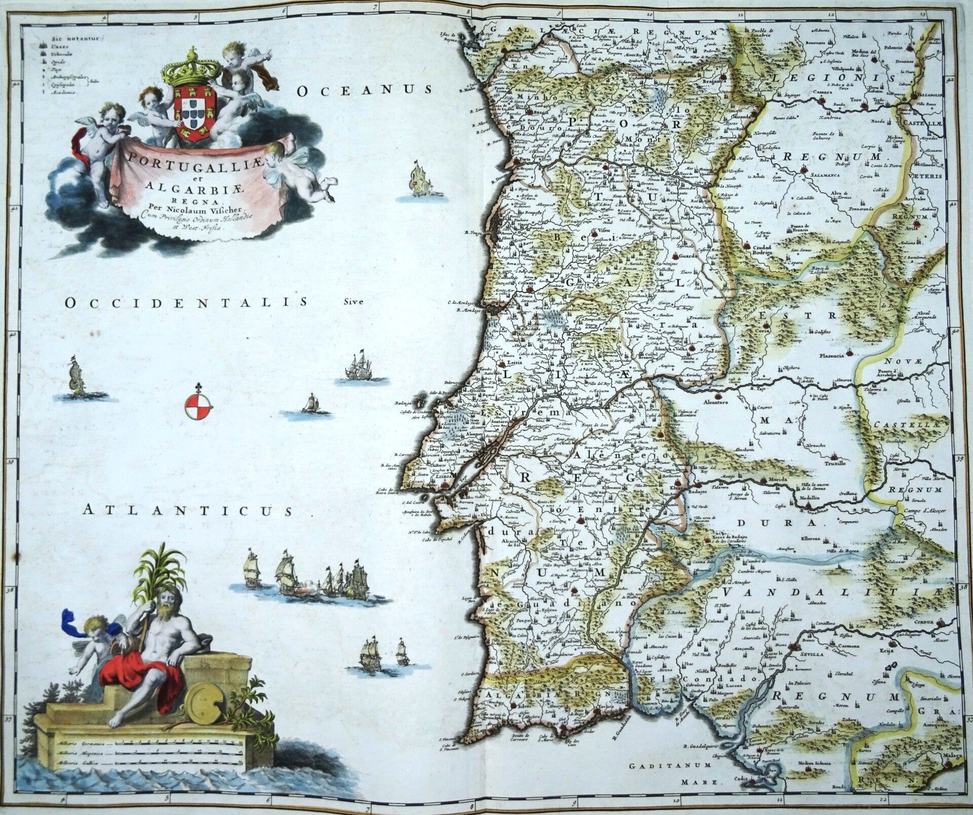
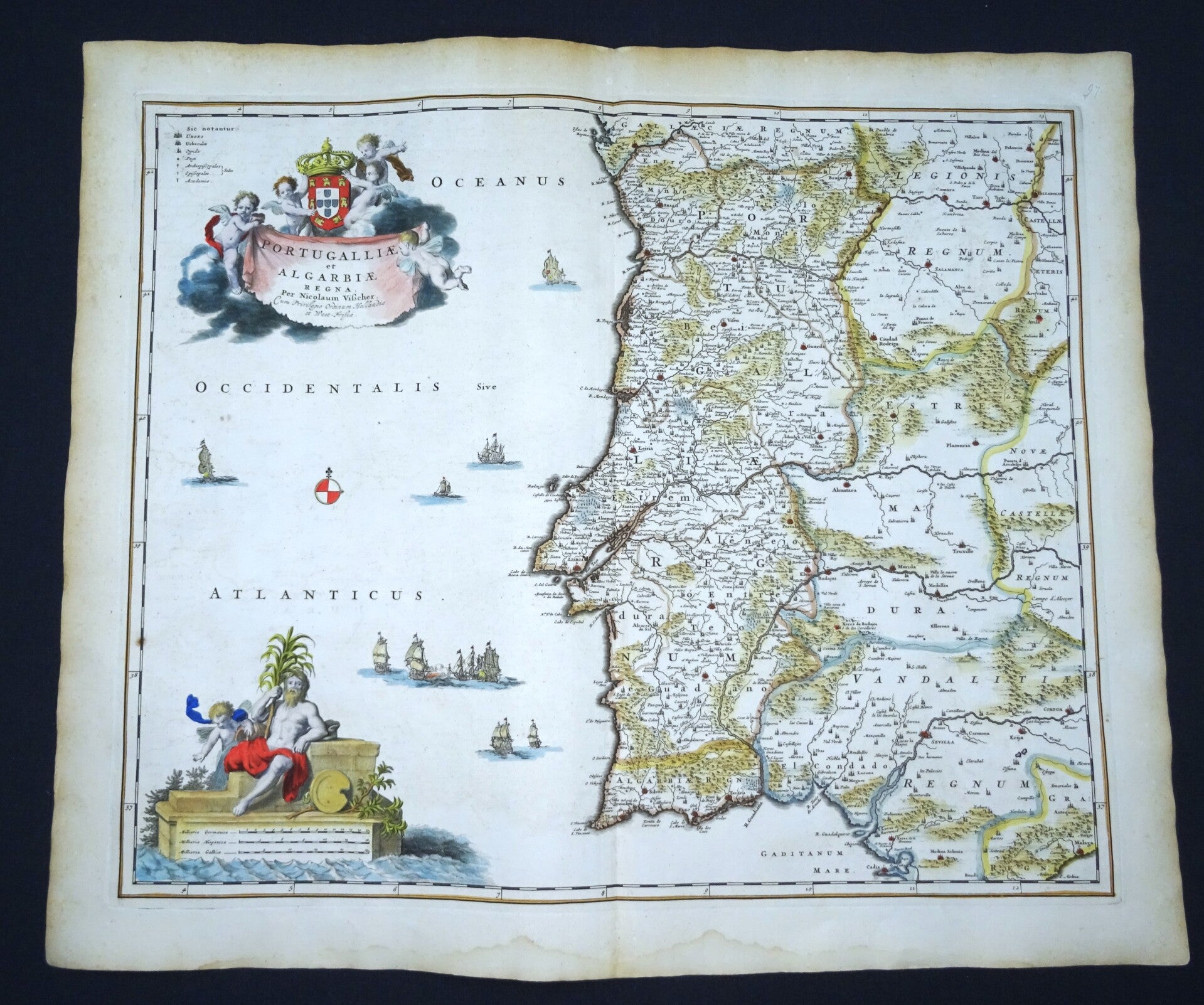
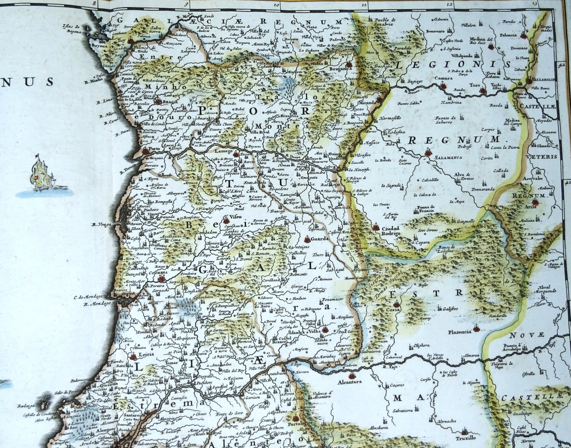
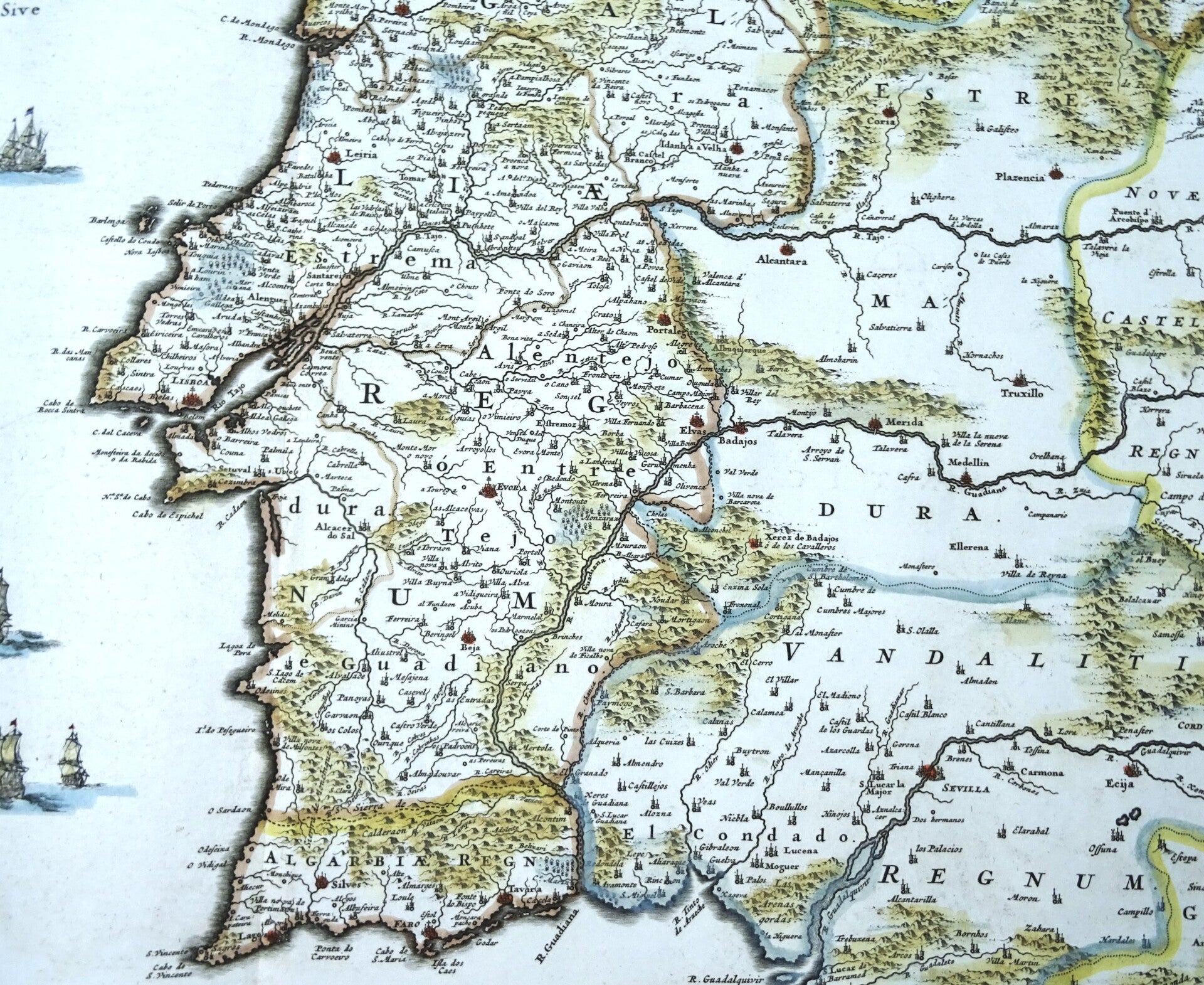
Portugal, large map by N. Visscher, 1680, Portugalliea et Algarbiae
€349.00
Item number:
25 21 DF
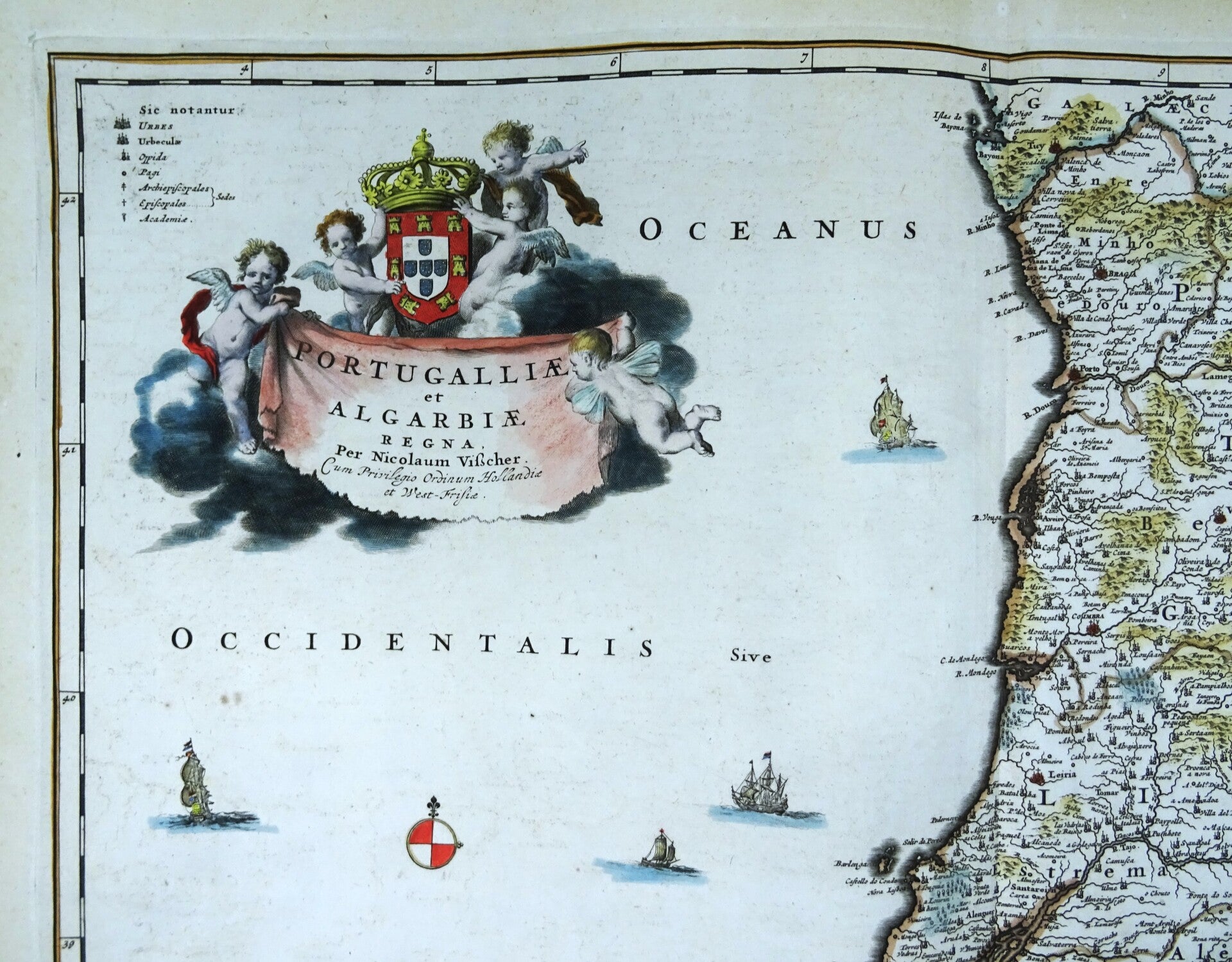
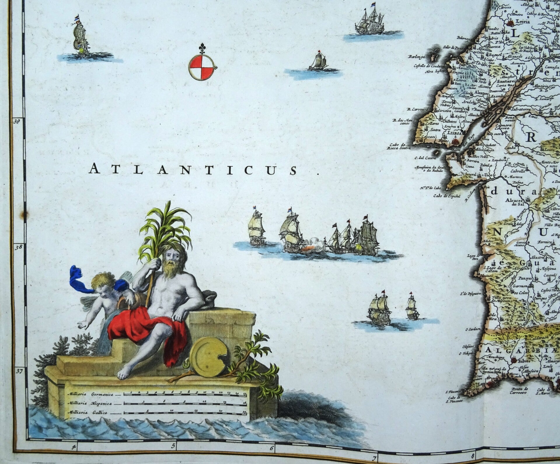
Impressive large folio sized 17th Century map of Portugal, published by N. Visscher in Amsterdam, around 1680.The map focuses on the political and administrative boundaries, showing detailed divisions within Portugal. It includes cities, towns, roads, rivers, and mountains, providing a comprehensive overview of the region's geography and infrastructure during the 18th century. Decorated with two beautiful cartouches and many sail ships.
Excellent condition
Image 46x56,5cm, sheet 54x64cm