

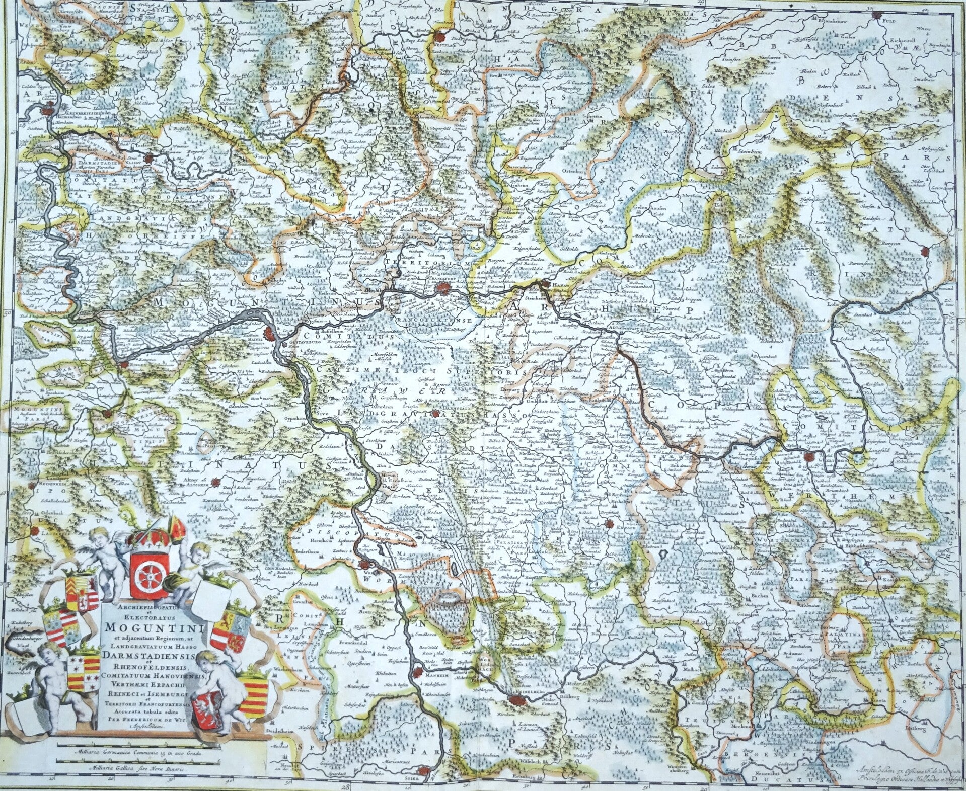
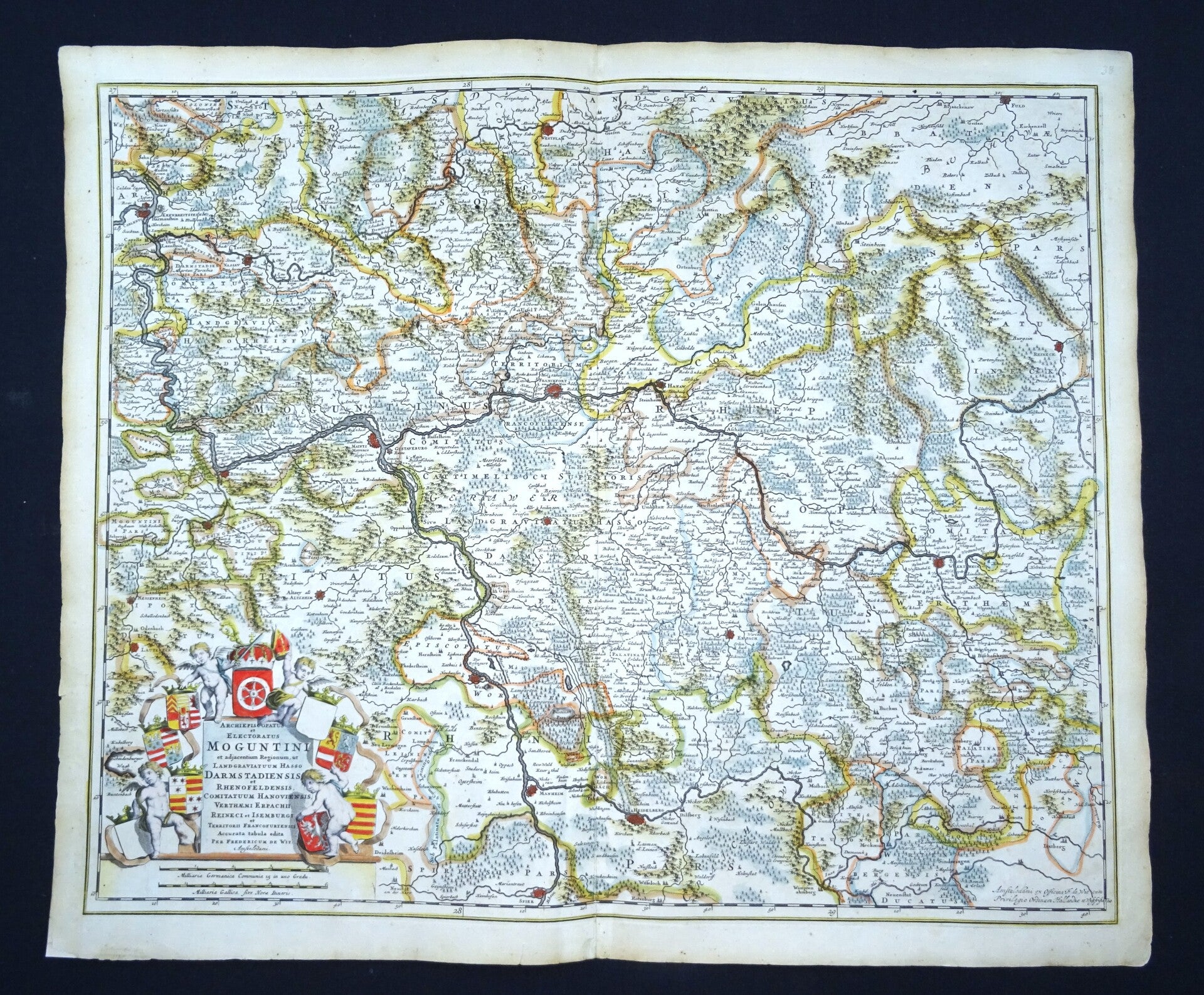
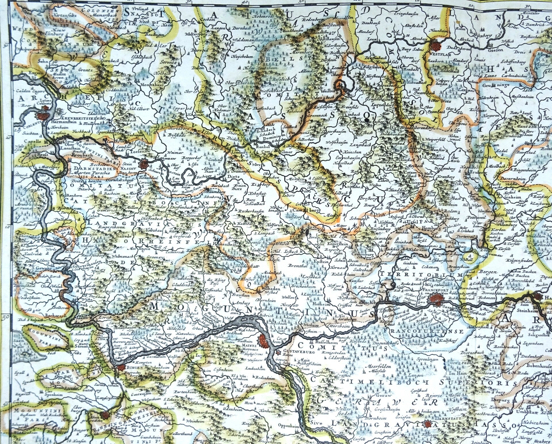
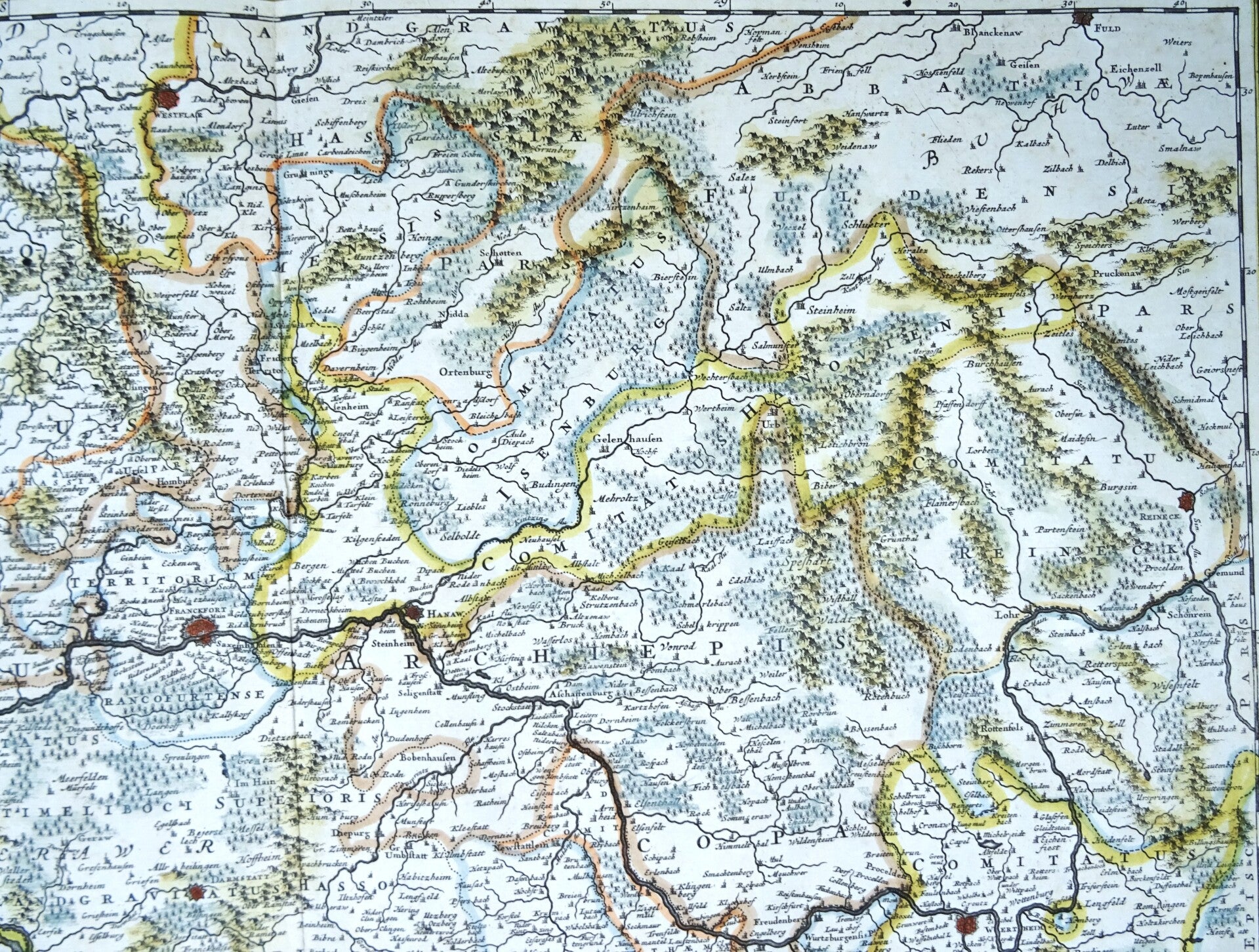
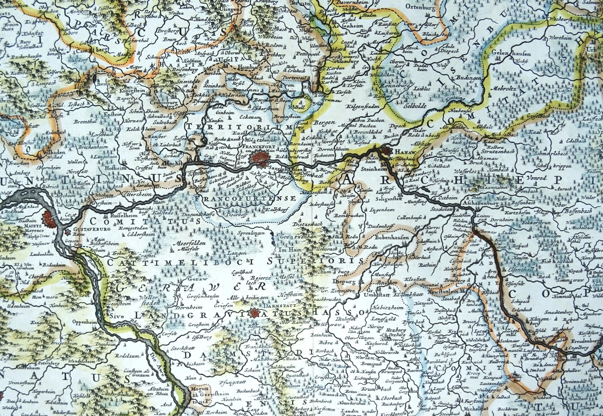
Germany, Hesse, Frankfurt, Darmstadt, Mannheim, F. de Wit, 1680, Archiepiscopatus et Electoratus Moguntini et adjacentium Regionum, ut Landgraviatum Hasso Darmstadiensis …
€169.00
Item number:
25 21 BB
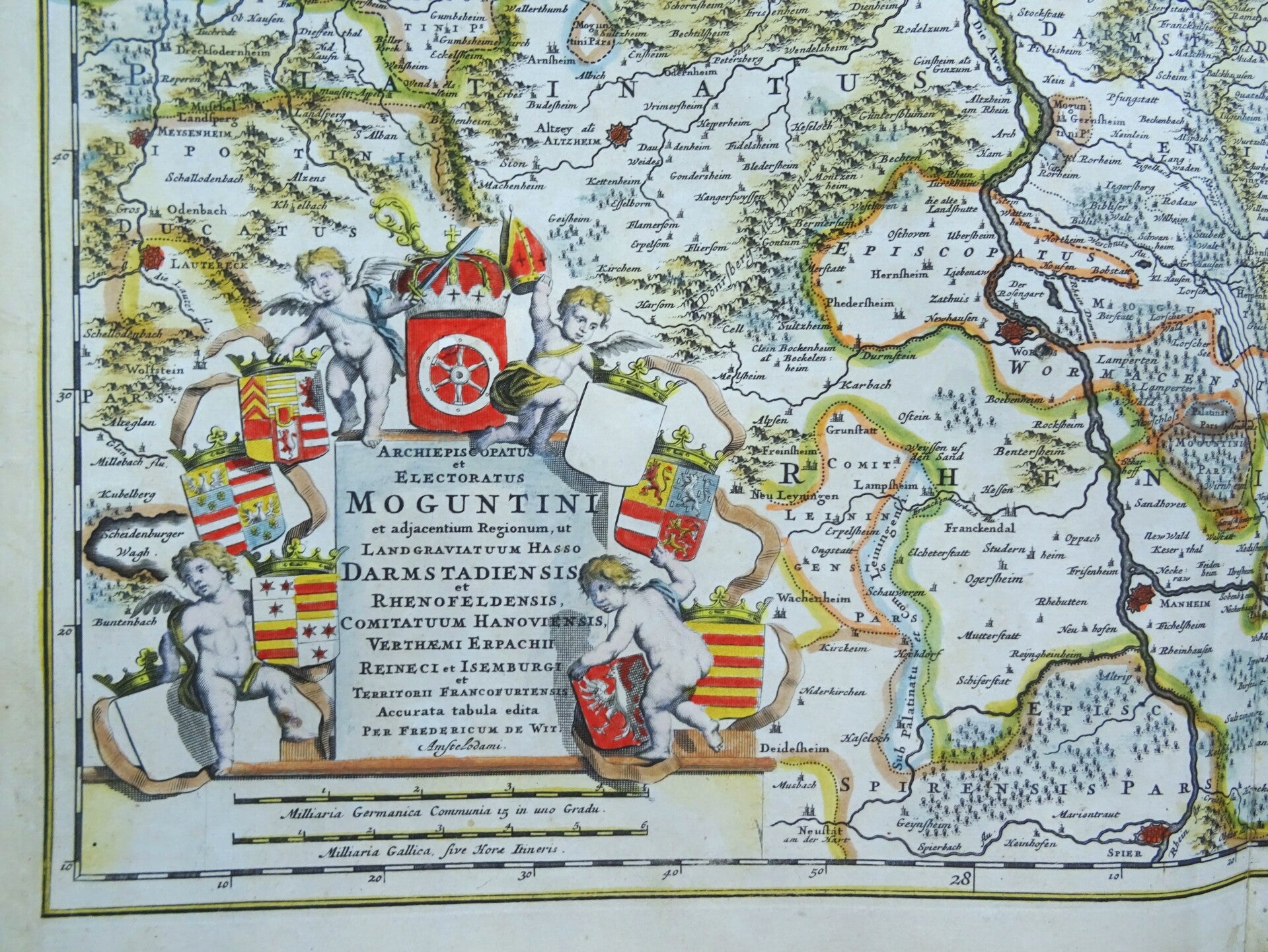
Large folio sized 17th century very detailed map of tha area around Frankfurt am Mainz (Hesse). It Shows the Rhine between Koblenz and Spayer. With Biengen, Wertheim, Wetzlar, Hanau, Worms, Mannheim and Heidelberg with Frankfurt in the centre. To the lower left a beautiful title cartouche.
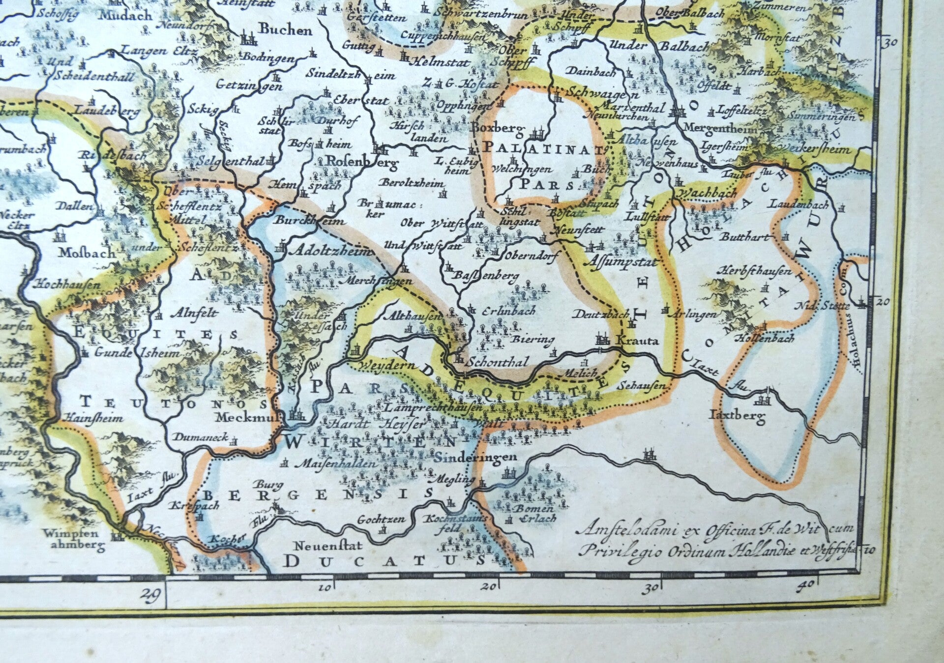
This map was published by Frederik de With in Amsterdam around 1680, after similar maps by people like Visscher and Danckerts.
Very good condition Small repair in the title cartouche with minimal impact on the image. Otherwise excellent. Strong paper with wide margins. Clear print. Reverse side blank. Central fold, as published.
Image 49x59.5cm, sheet 54x64cm