

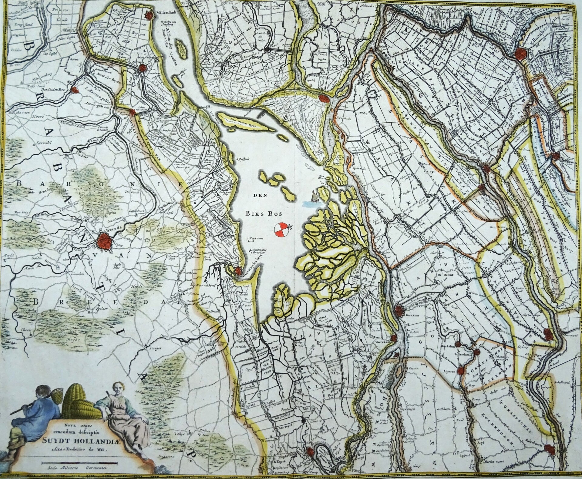
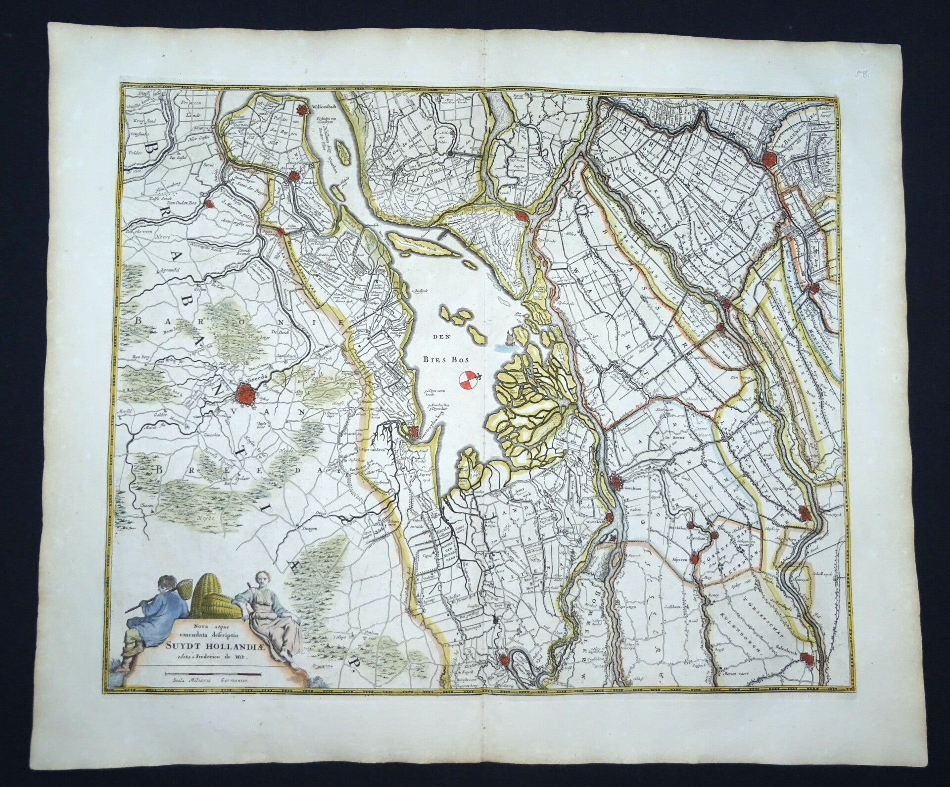
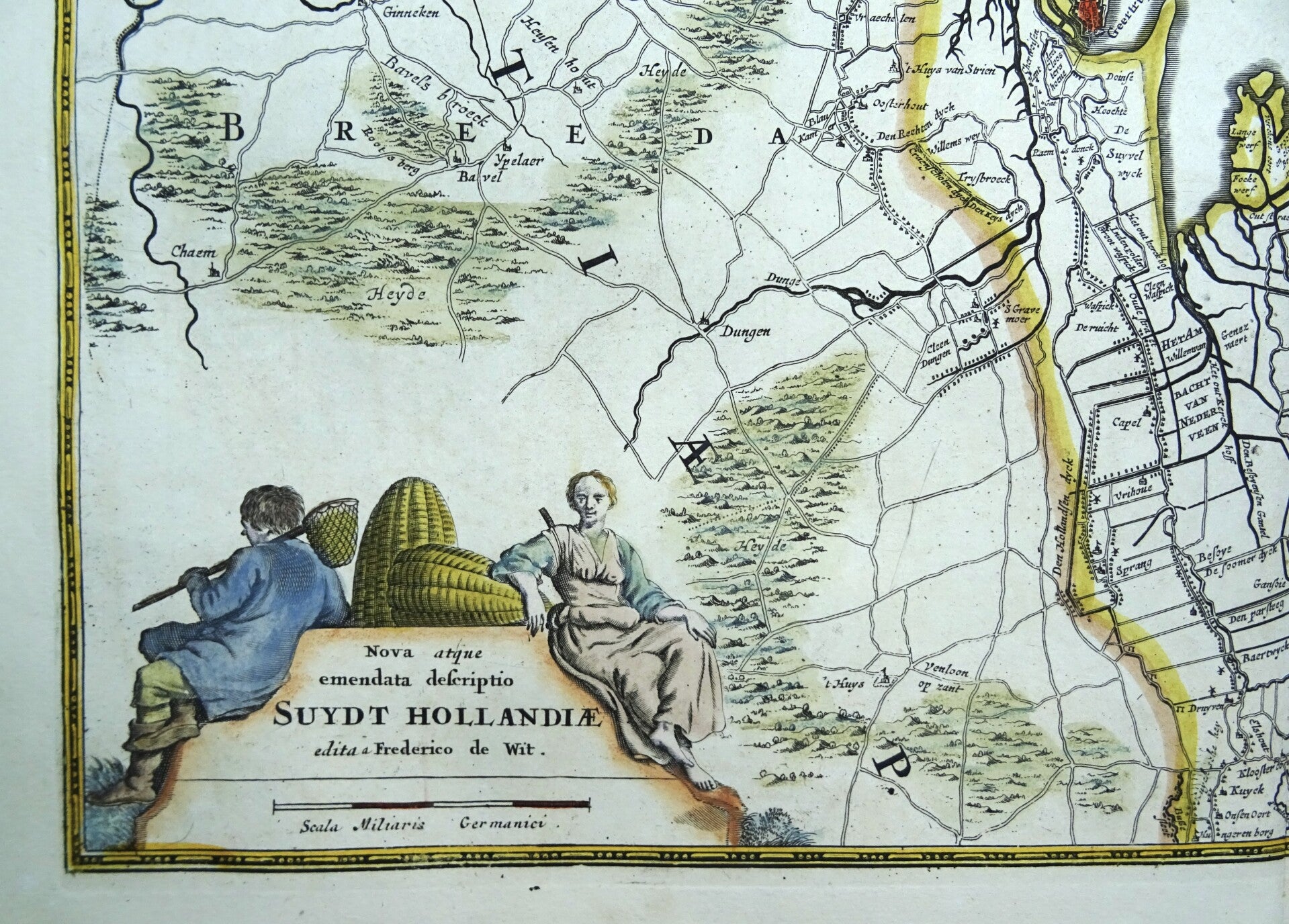
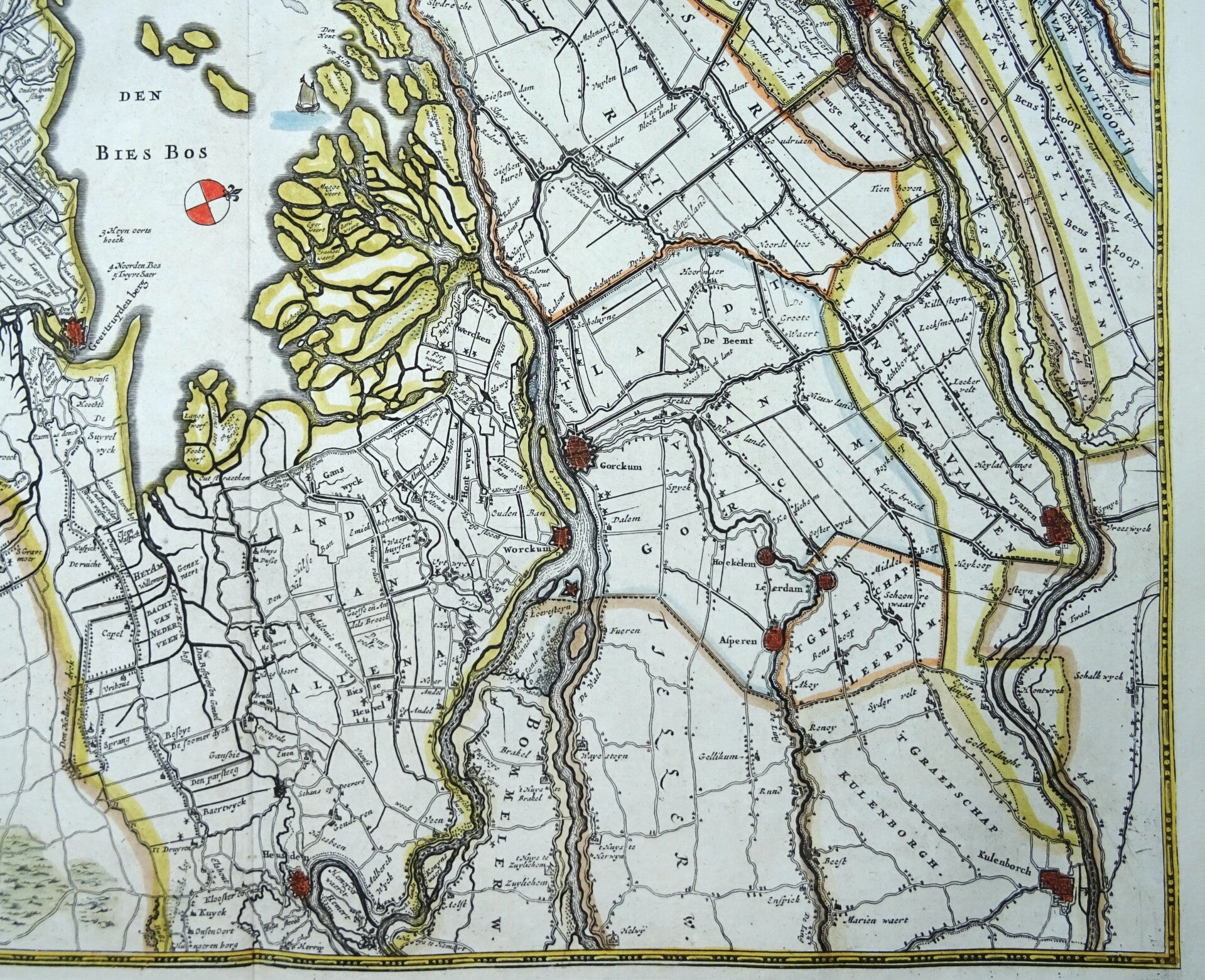
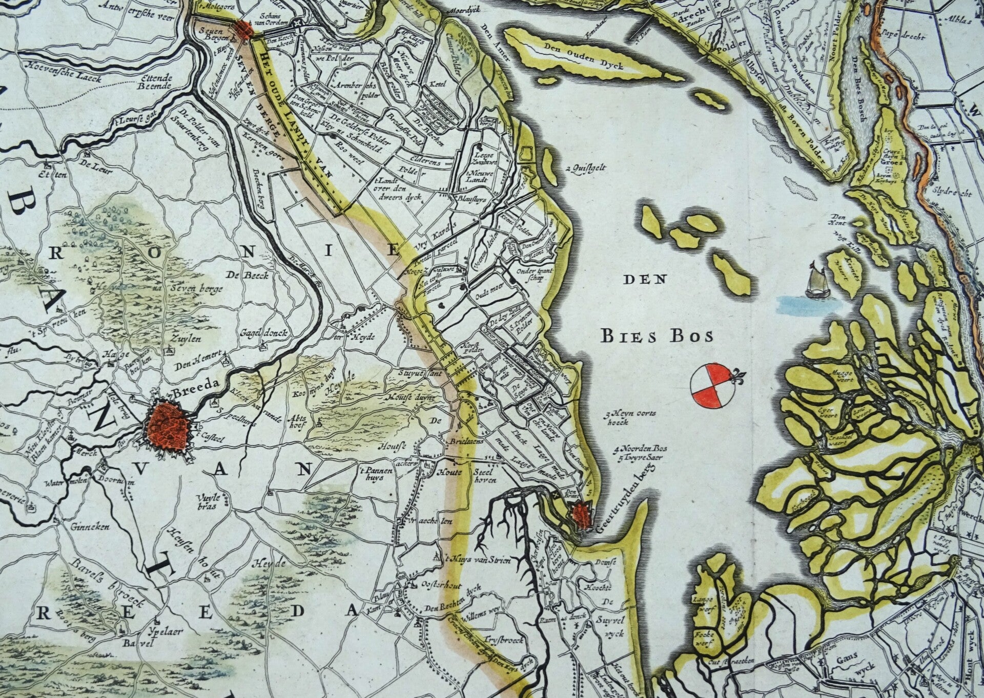
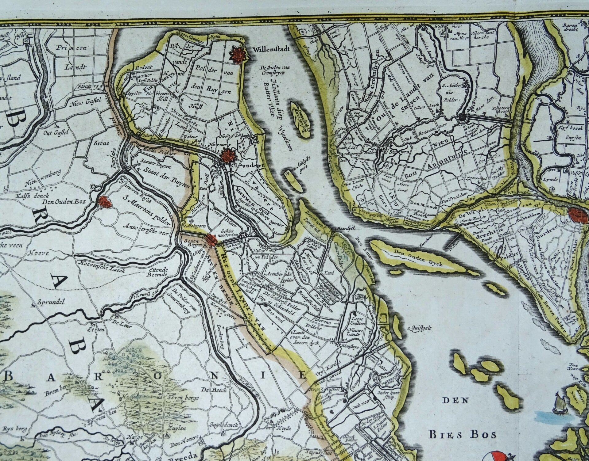
Netherlands, South Holland, Brabant, F. de Wit, 1680, Nova atquae emendata descriptio Suydt Hollandiae.
€249.00
Item number:
25 21 BV
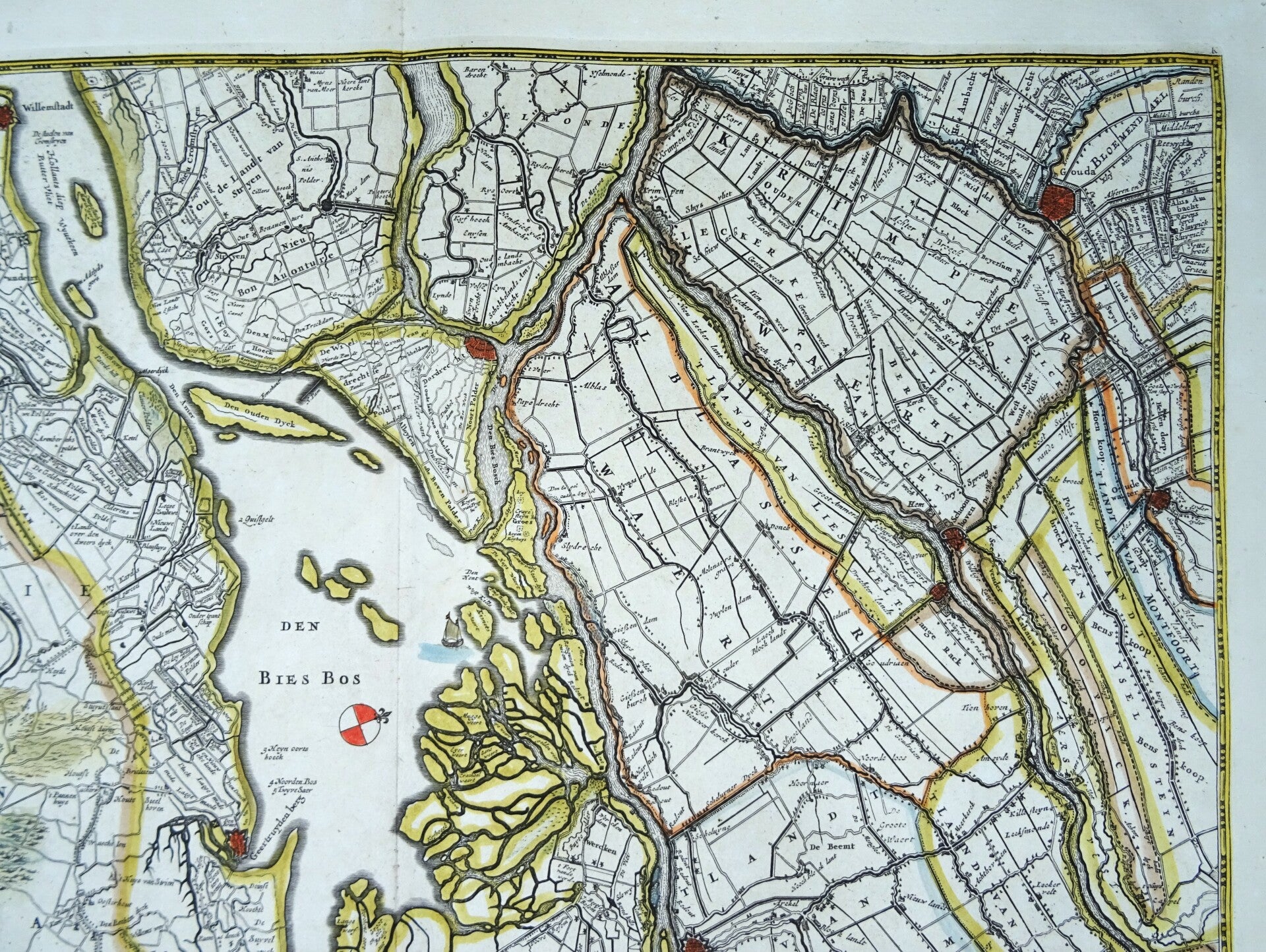
Impressive antique map of the southern part of the province of South Holland and parts of North Brabant, with the Biesbosch area between Breda en Dordrecht in the center. It also shows cities like Gouda, Schoonhoven, Willemstad… The map is from 1680 by Frederick de Wit, based on the earlier map by W. Blaeu. The map is oriented with north to the right.
Excellent condition
Image 44,5x54,5cm, sheet 54x64cm