

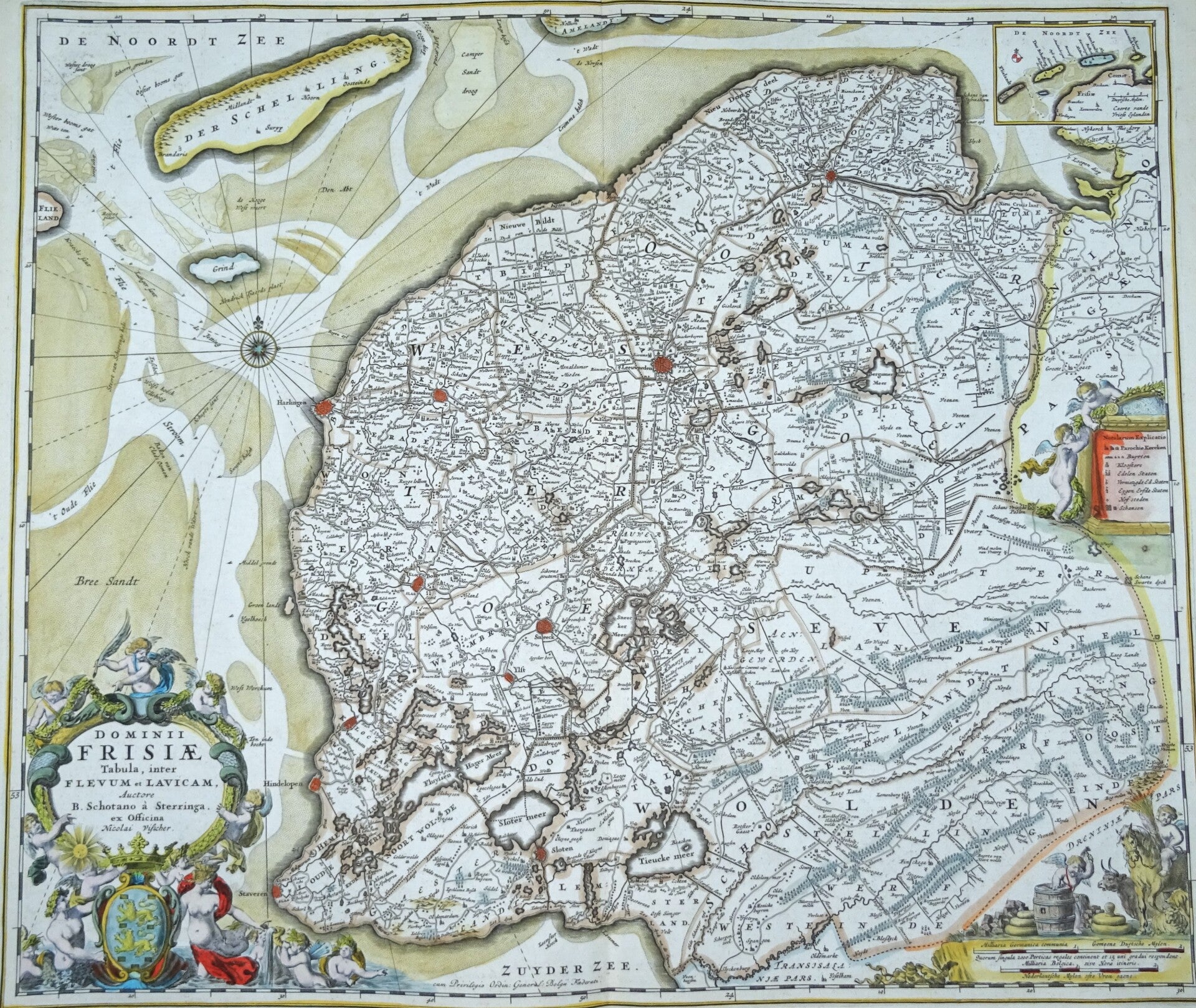
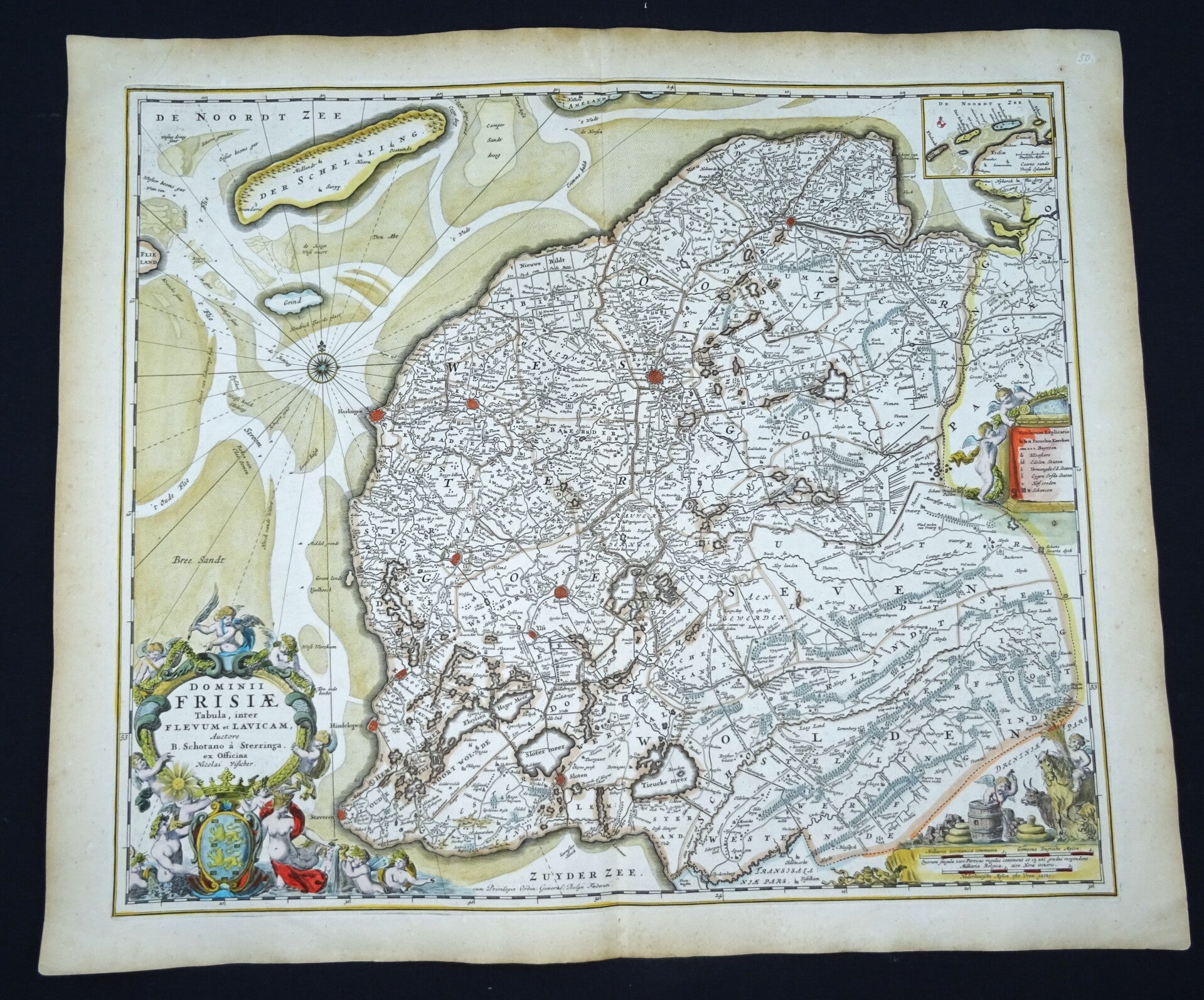
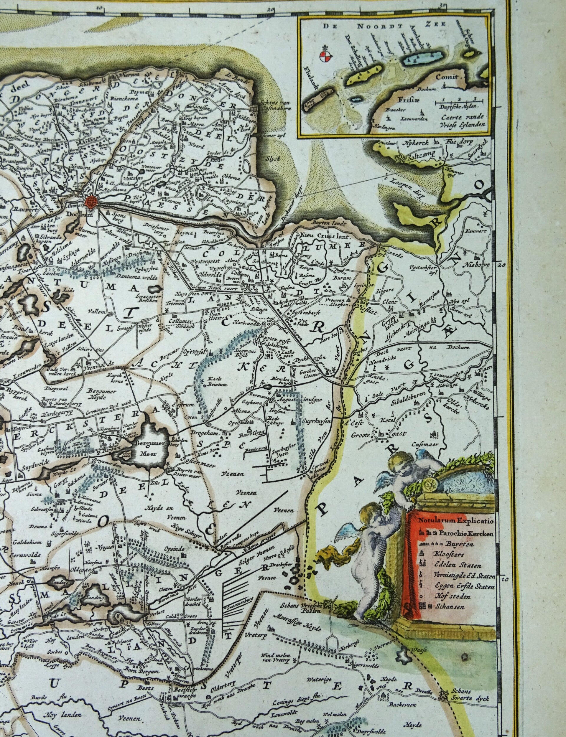
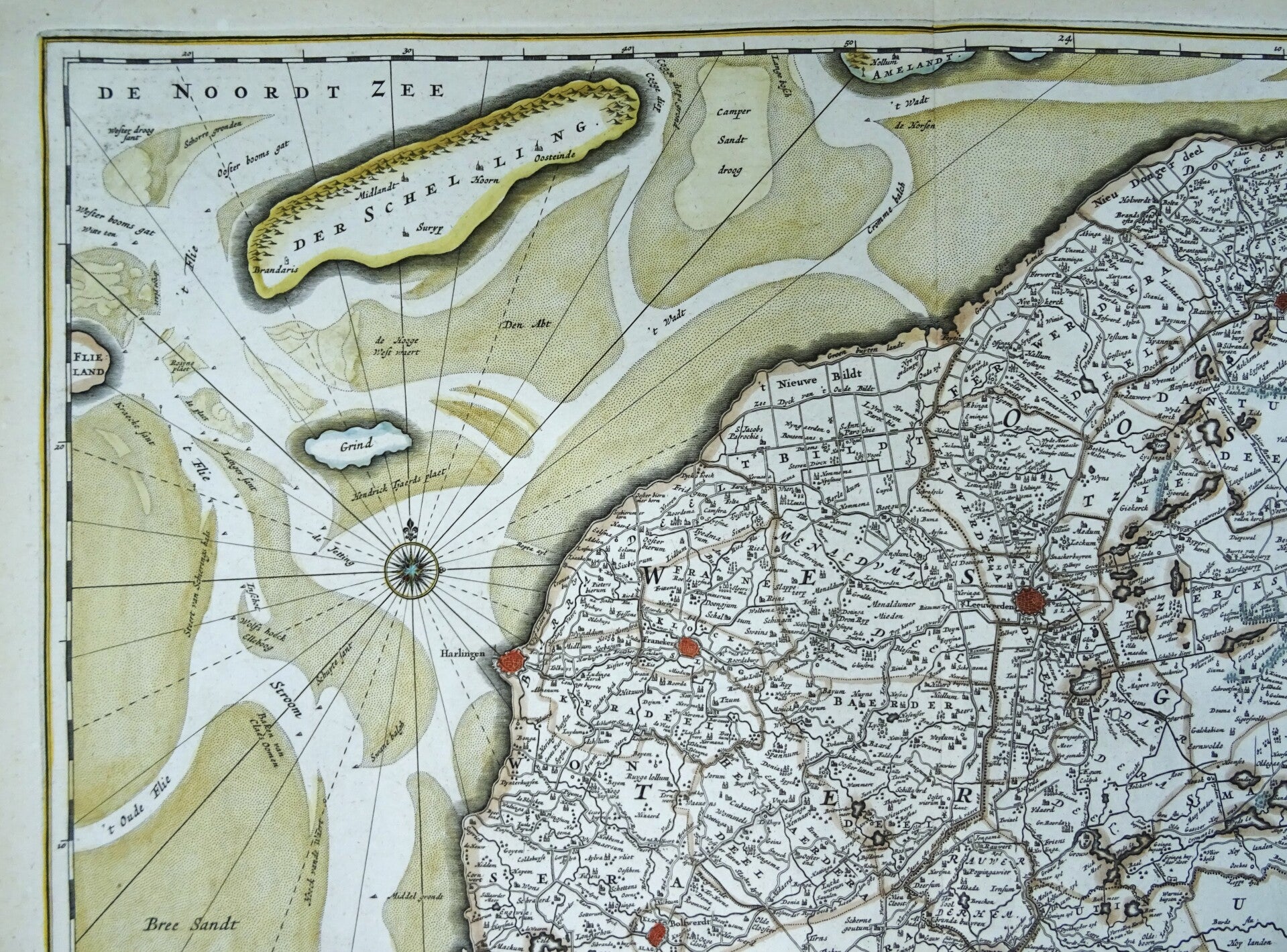
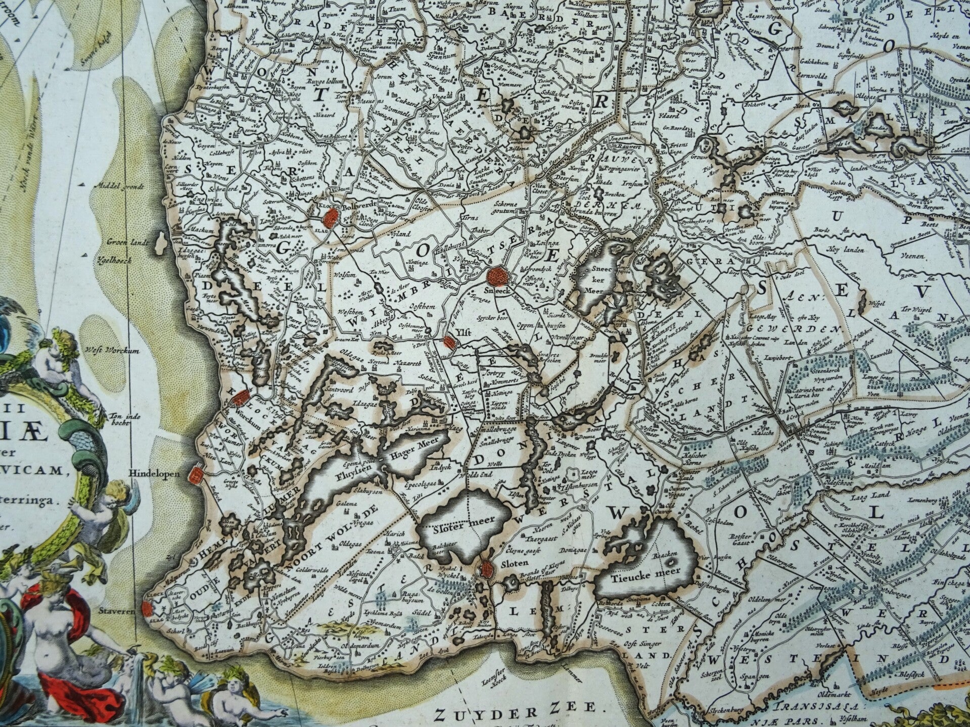
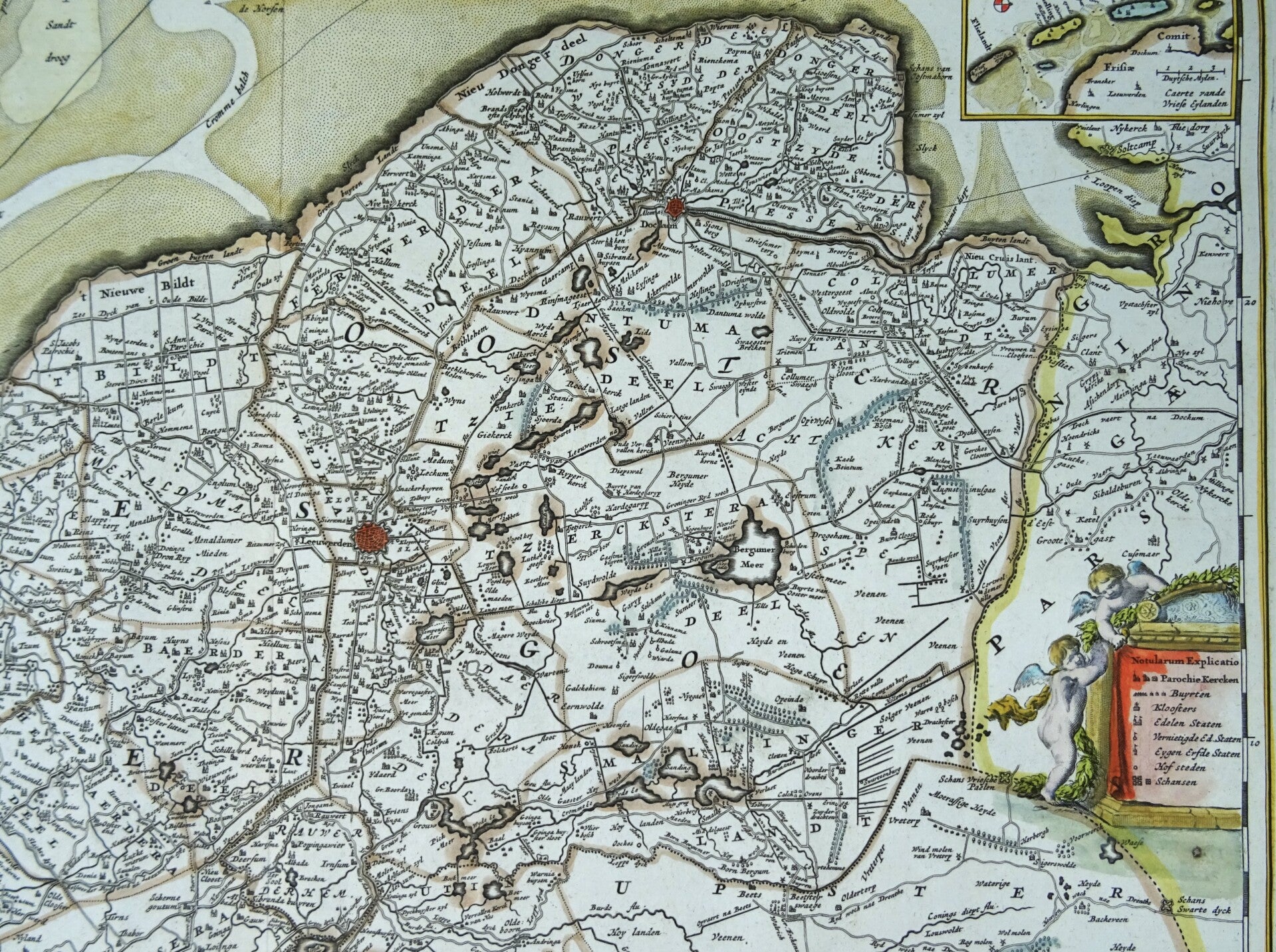
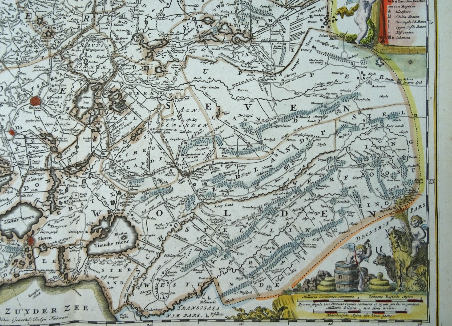
Netherlands, Friesland, N. Visscher, 1690, Dominii Frisiae Tabula, inter Flevum et Lavicam
€249.00
Item number:
25 21 BN
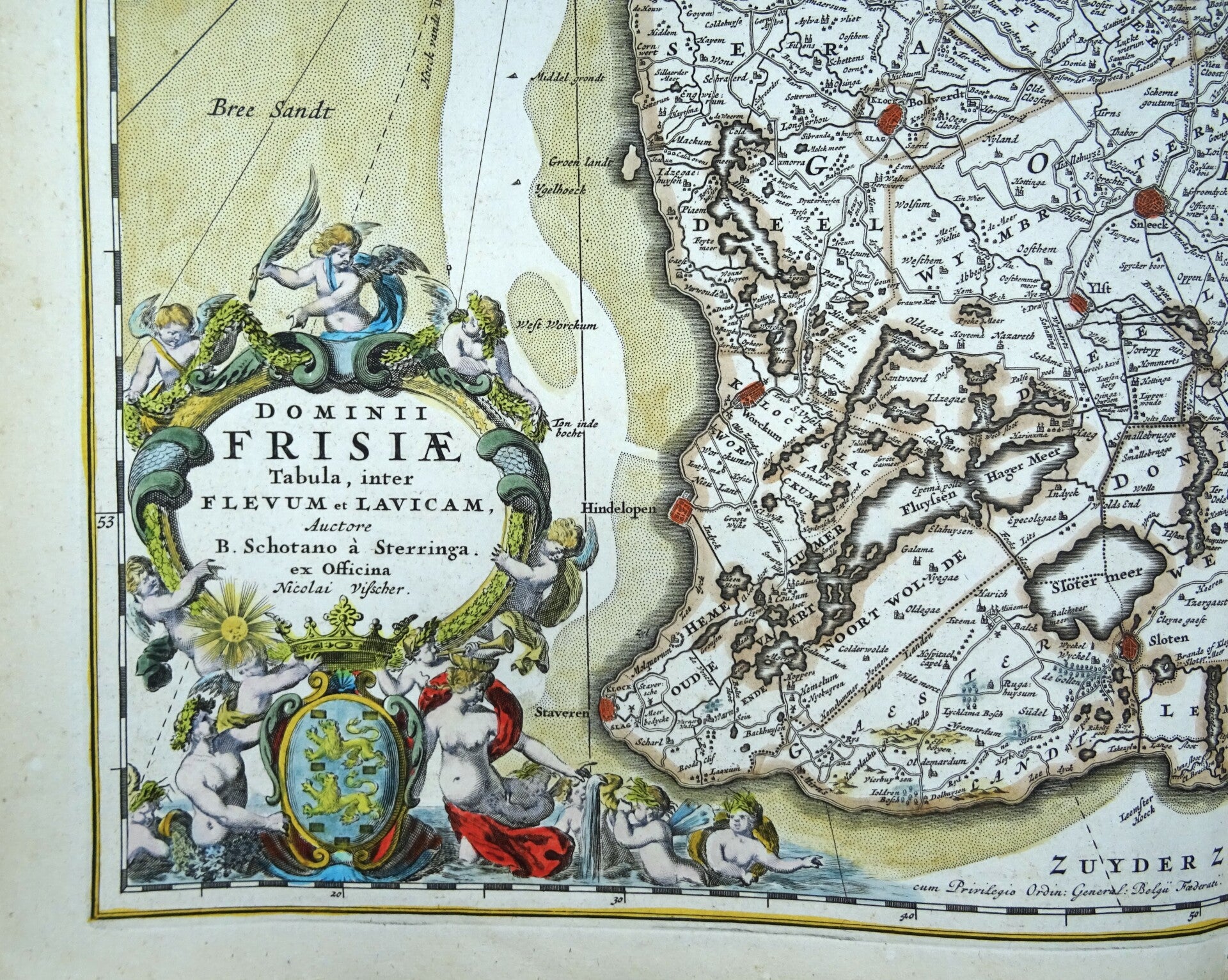
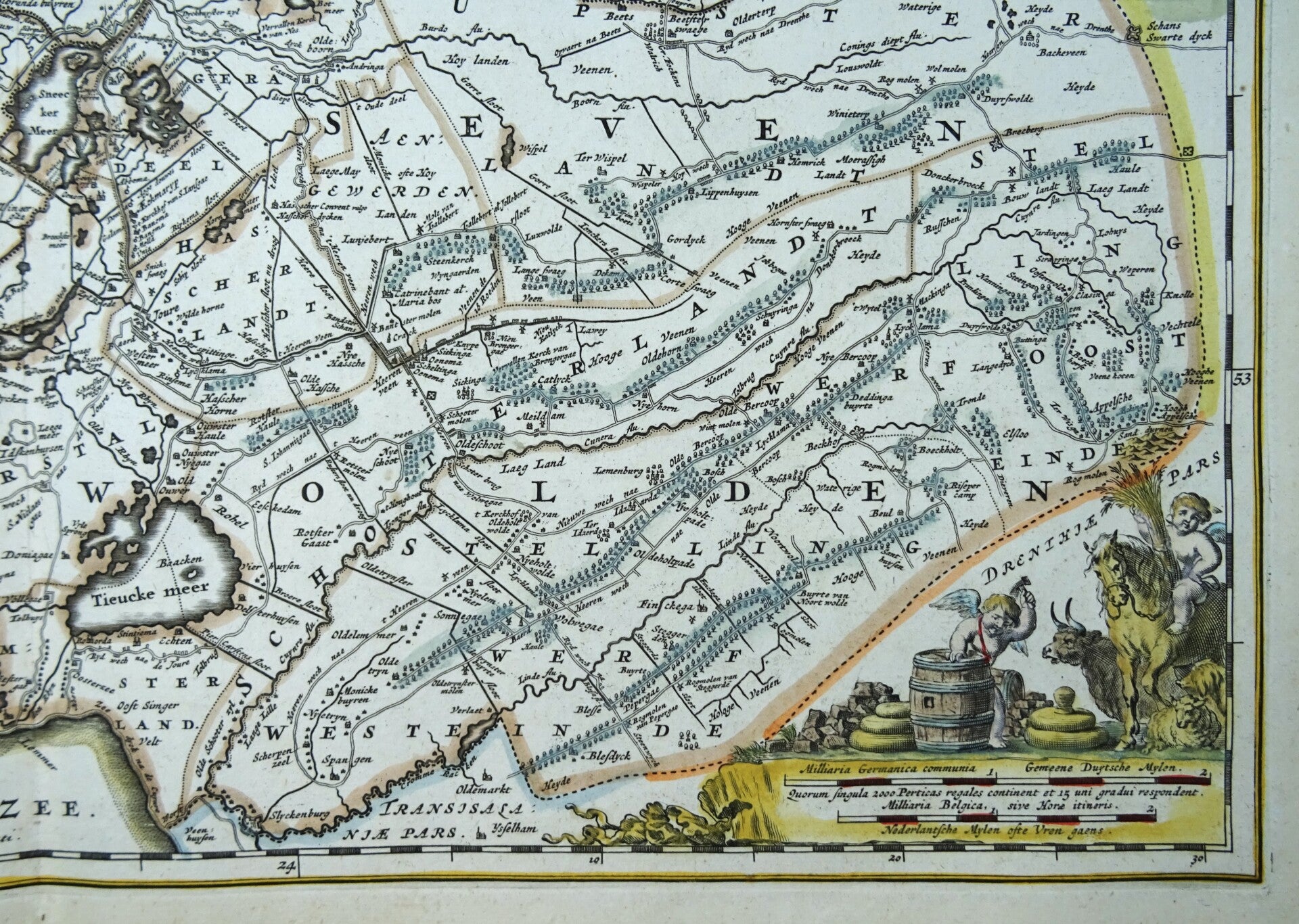
This impressive antique map of Friesland dates from 1690; it was created by Nicolaes Visscher and published in Amsterdam. It features a beautiful title cartouche displaying the coat of arms of Friesland, along with two smaller cartouches. It also includes an inset map of the Wadden Islands.
This edition (with no text on the verso) was published exclusively in a composite atlas by Abraham Wolfgang, issued in Amsterdam around 1690.
In very good condition. Some slight age-related toning; otherwise excellent. Very sturdy paper and a crisp impression. Central fold, as issued.
Image size: 47.5 x 55.5 cm; sheet size: 54 x 64 cm.