

Asia, India, China, SE Asia, Indonesia, Australia... N. Visscher, 1678, Indiae Orientalis nec non Insularum adiacentium Nova Descriptio
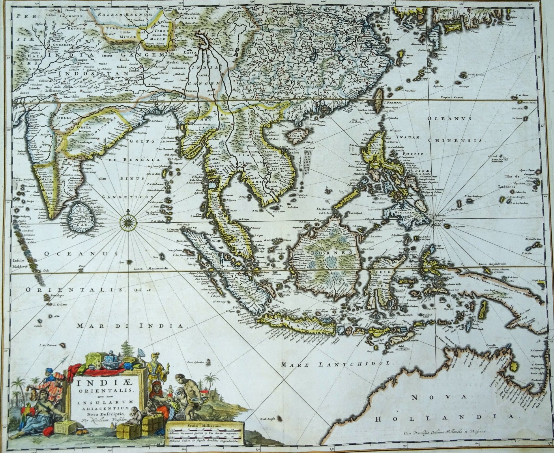
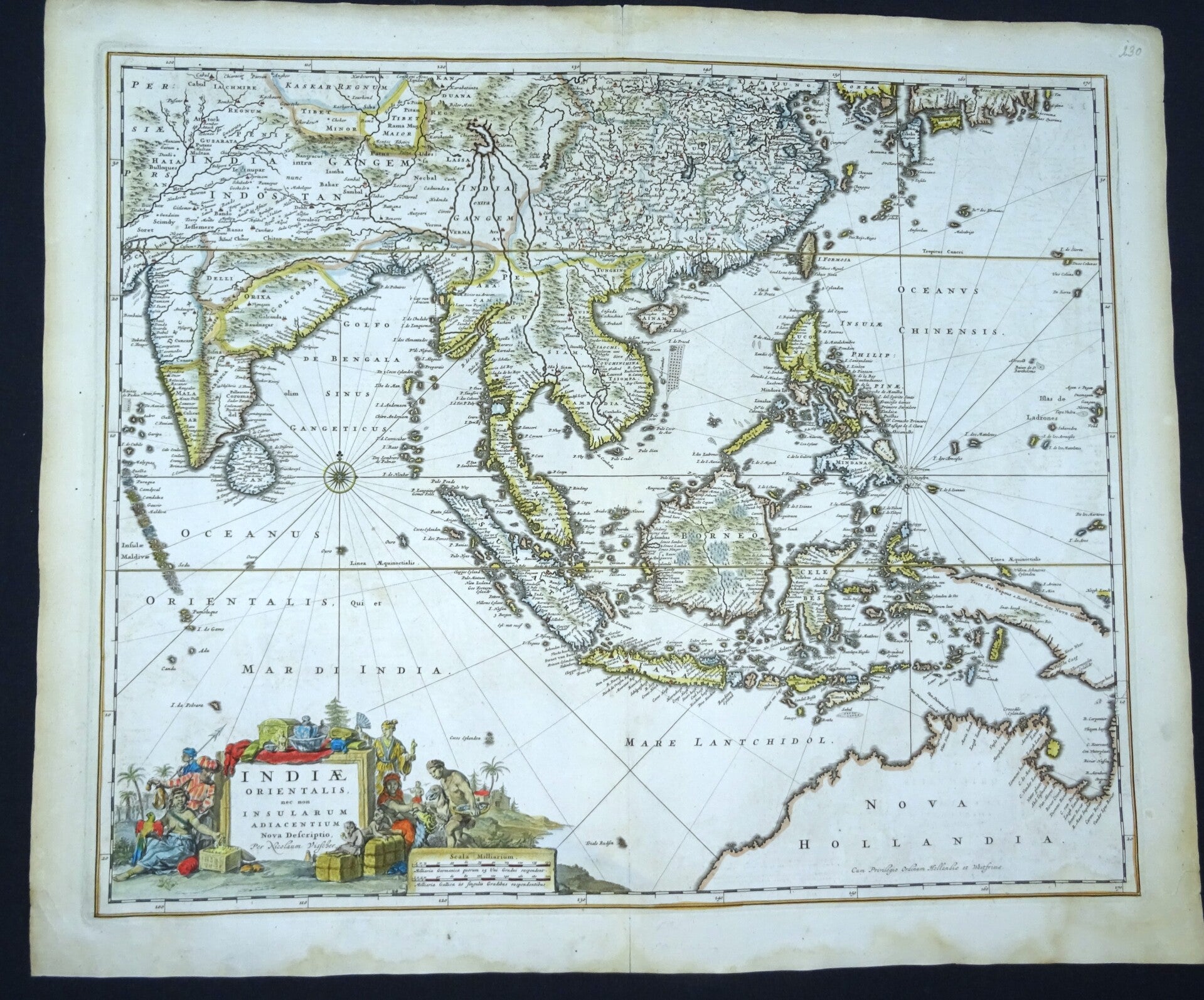
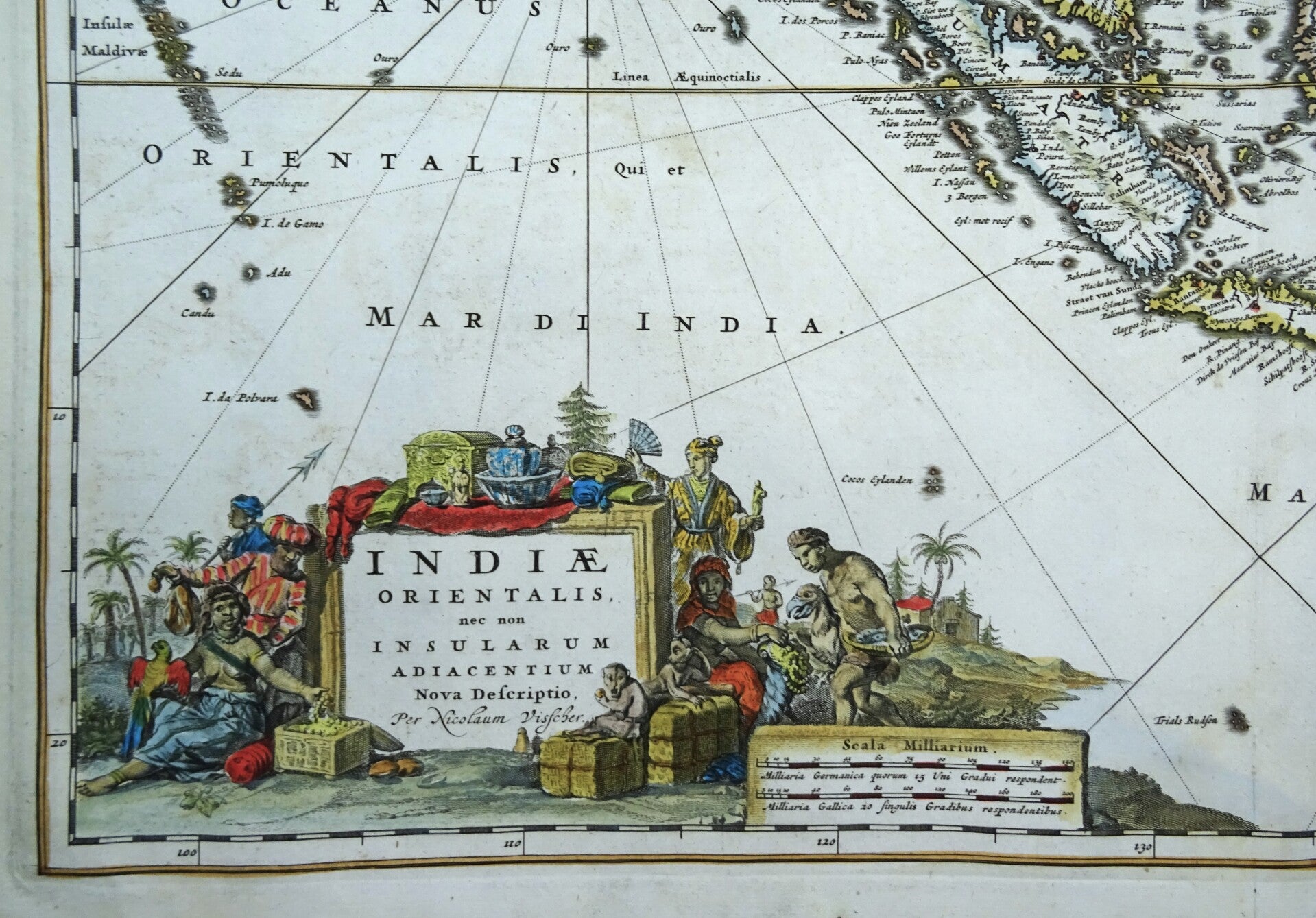
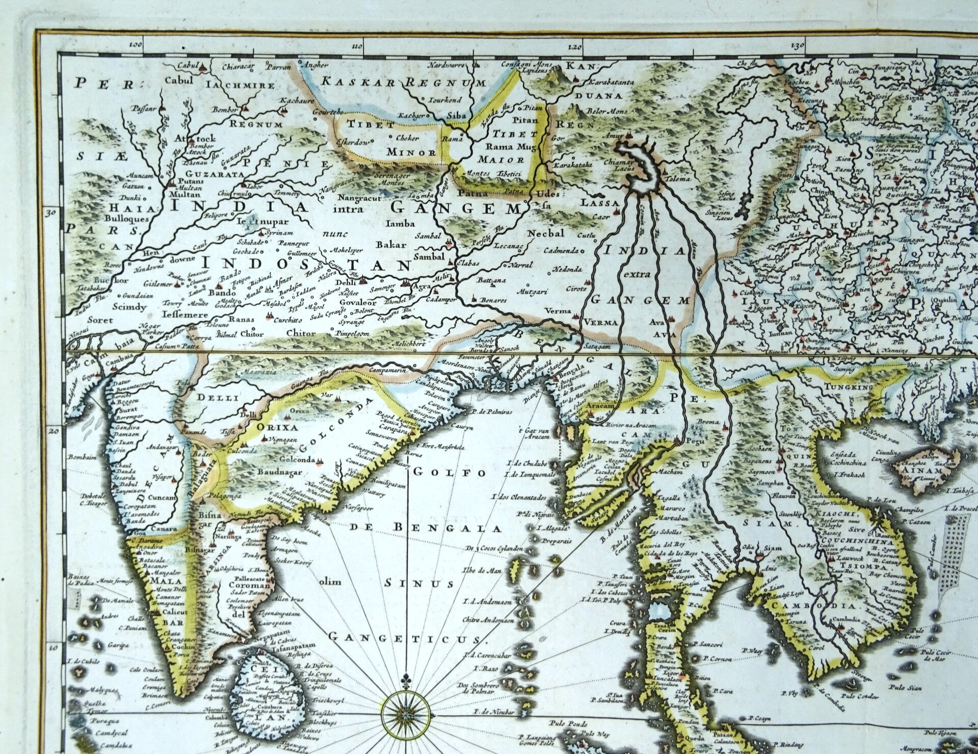
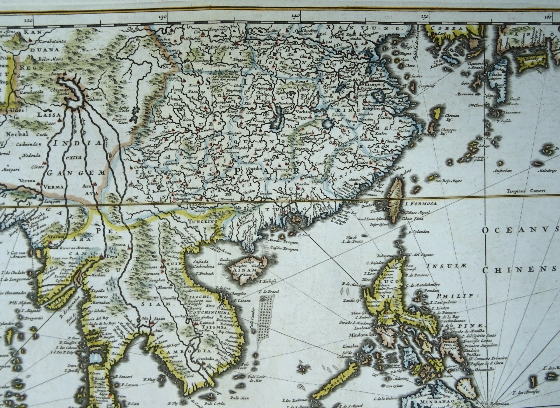
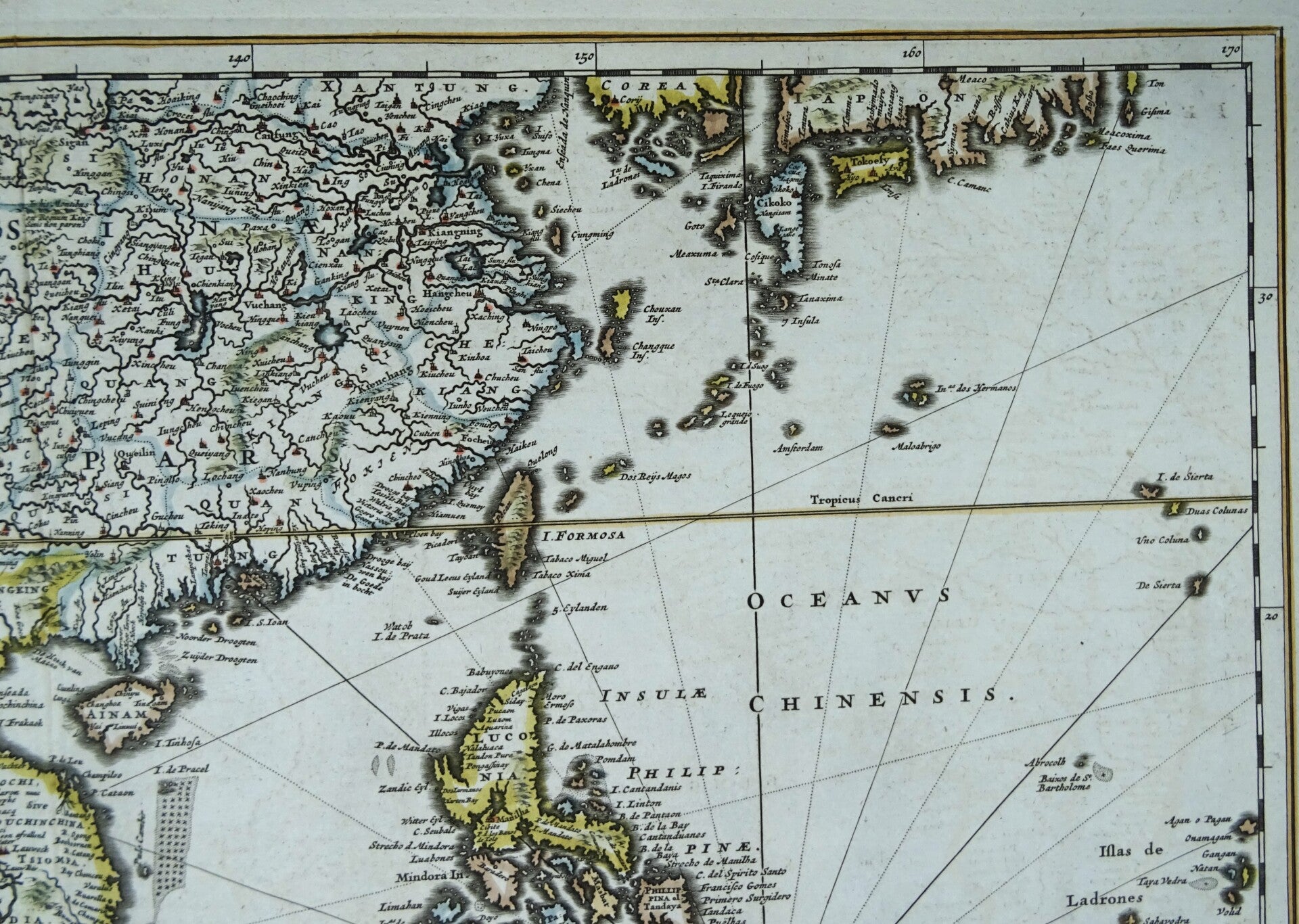
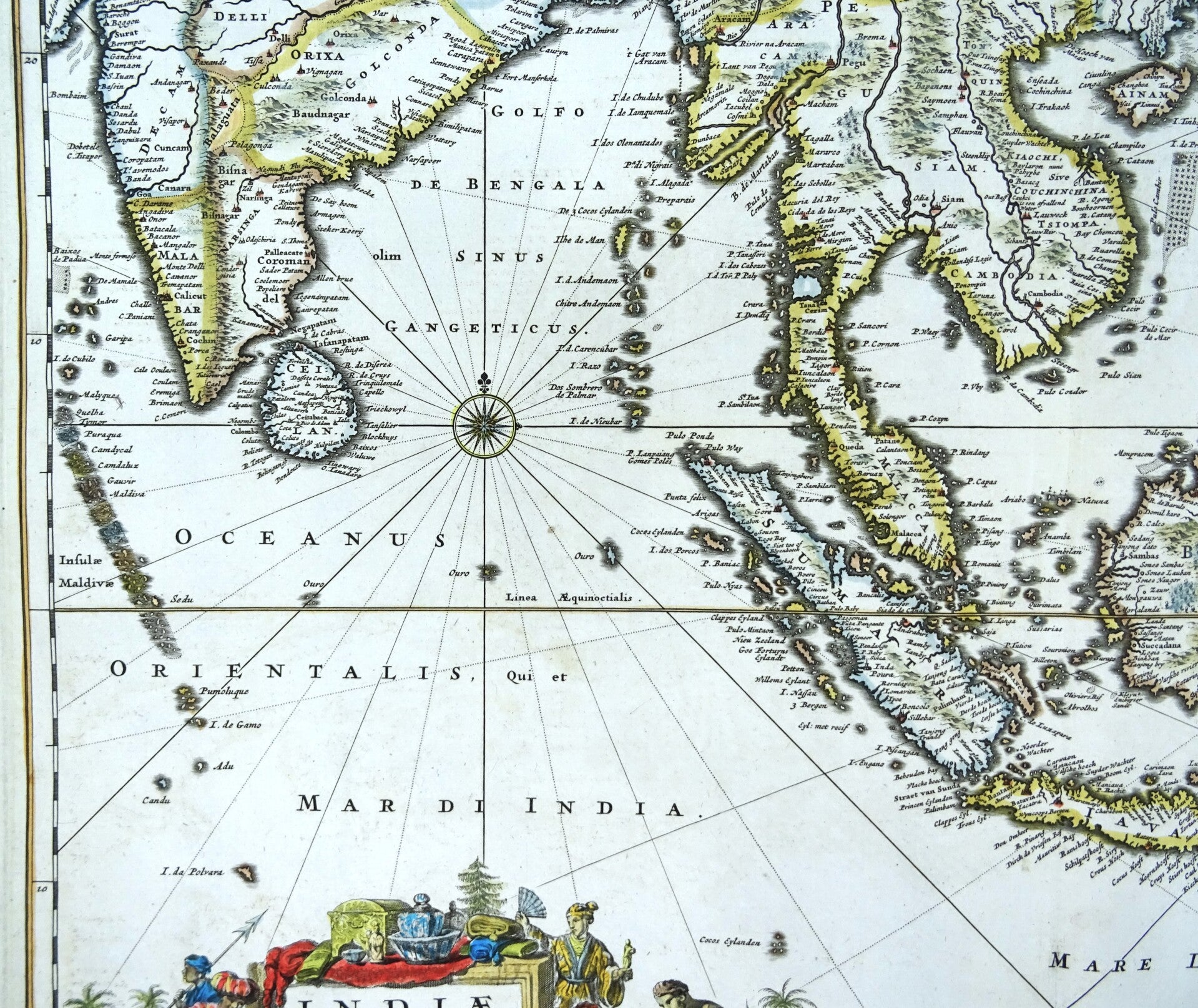
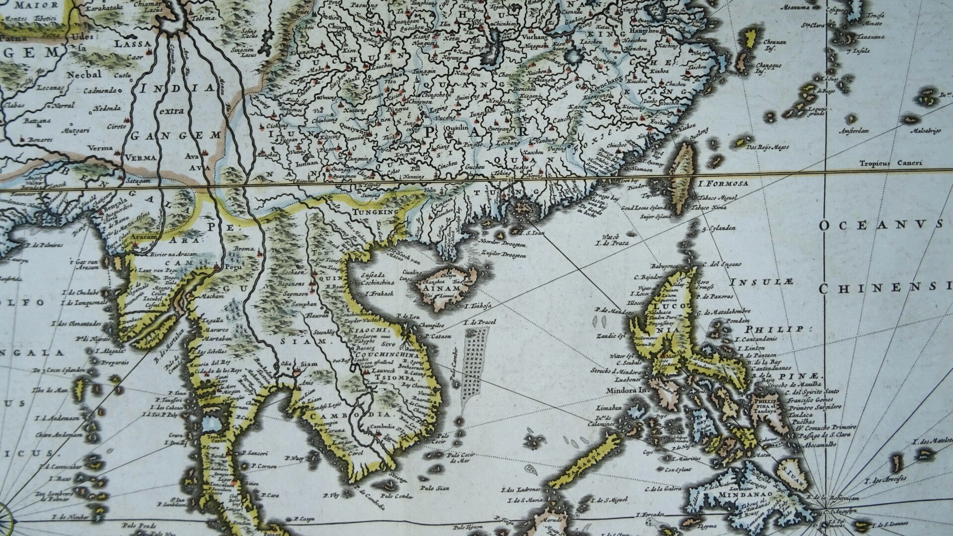
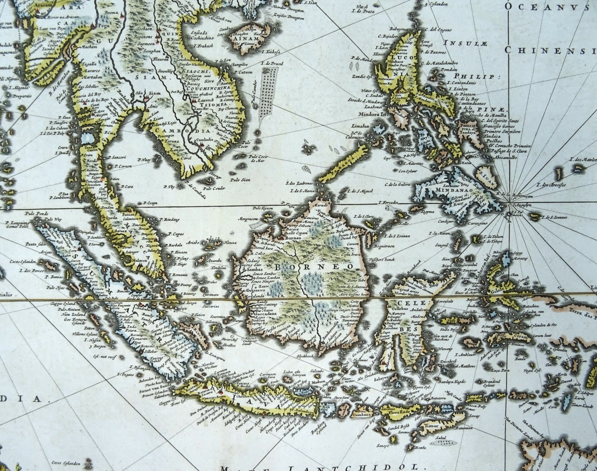
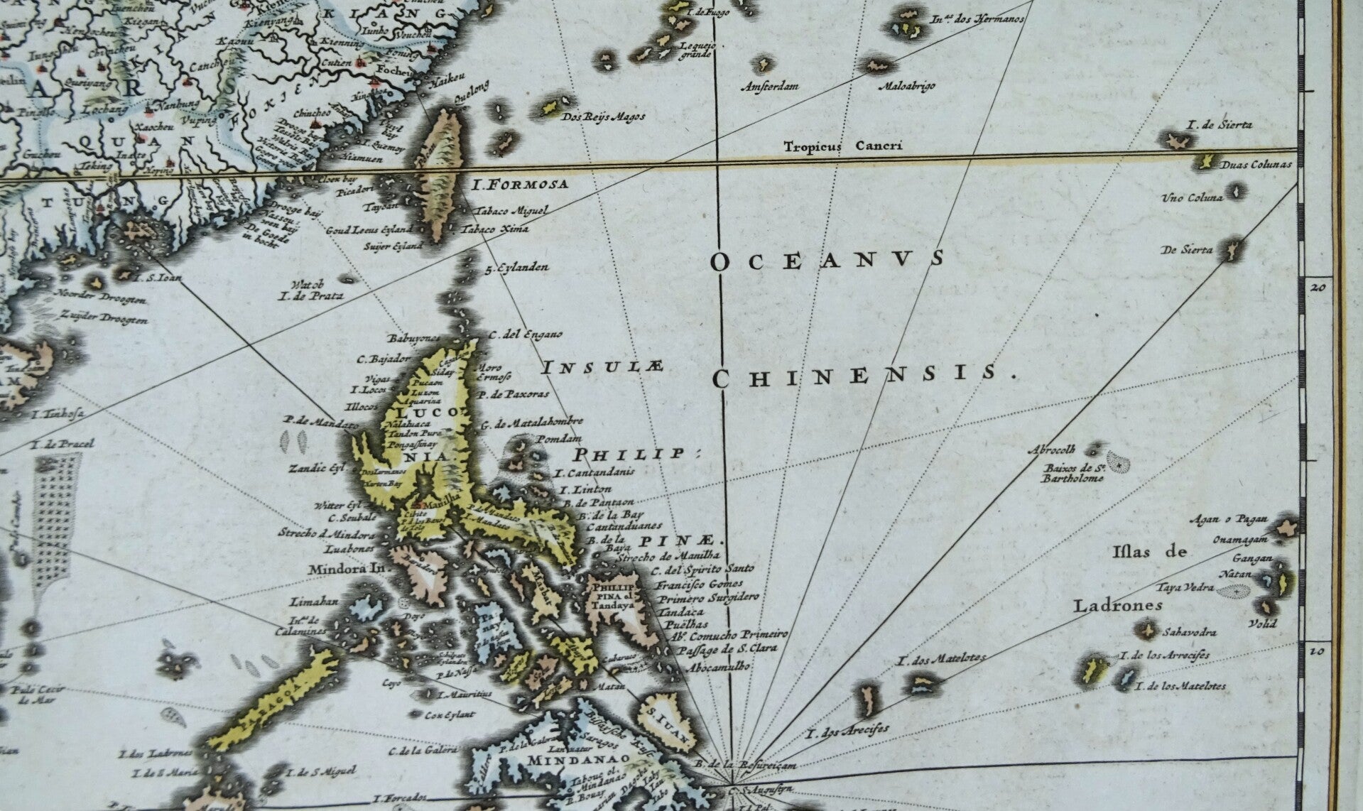
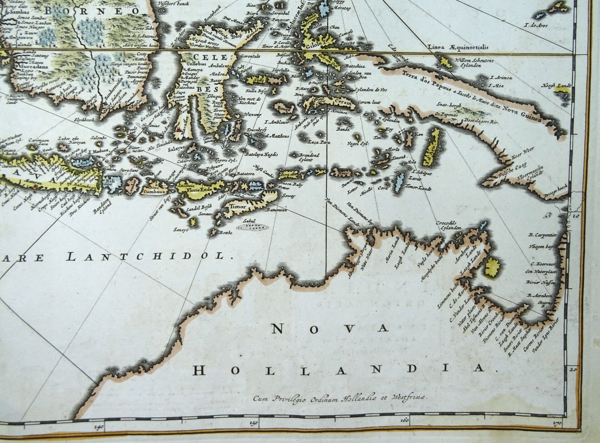
This spectacular map extends from India and the Maldives in the west to Japan and New Guinea in the east, highlighting the Malay Peninsula, the East Indies (Indonesia), and the northern coast of Australia (Nova Hollandia). It maps the trading sphere and influence of the Dutch East India Company and incorporates discoveries from Dutch voyages, such as Abel Tasman's 1644 journey. The map is decorated with rhumb lines, a compass rose, and an elaborate allegorical cartouche showcasing the exotic riches of the East.
The map centers tightly on the Straits of Malacca and the Malay Peninsula, reflecting the primary commercial and strategic interest of the Dutch East India Company (VOC) in the region. The frame stretches from India and the Maldives in the west across the entire Indonesian archipelago to New Guinea and the southern coast of Japan in the east. It incorporates cutting-edge geographic data from Dutch explorations, specifically tracking the northern coast of Australia, Carpentaria, and the discoveries made during Abel Tasman's second voyage in 1644 and shows a tentative, incomplete passage between northern Australia and New Guinea, leaving the precise relationship between these two landmasses partially open or speculative.
Published by N. Visscher (signed in the title cartouche) in Amsterdam, around 1678 (Visscher obtained his privilege in 1677).
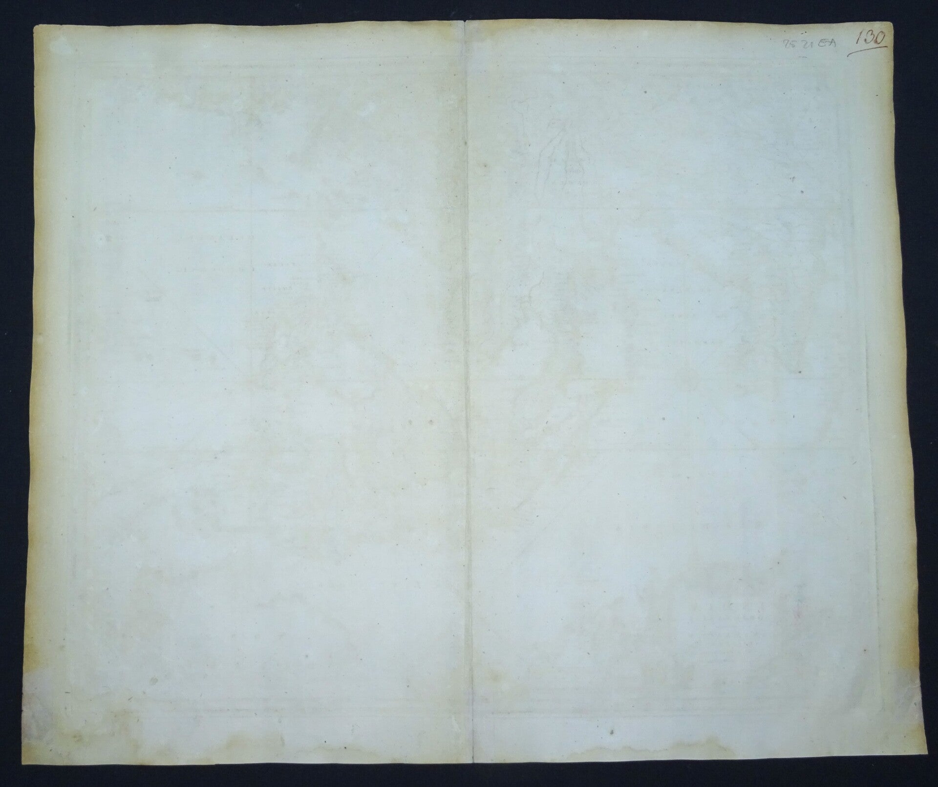
Very good condition. Some minor waterstains/browning in the lower margin, otherwise excellent. Thick paper, wide margins clear print.
Image 48,5x56cm, sheet 52,5x64cm