

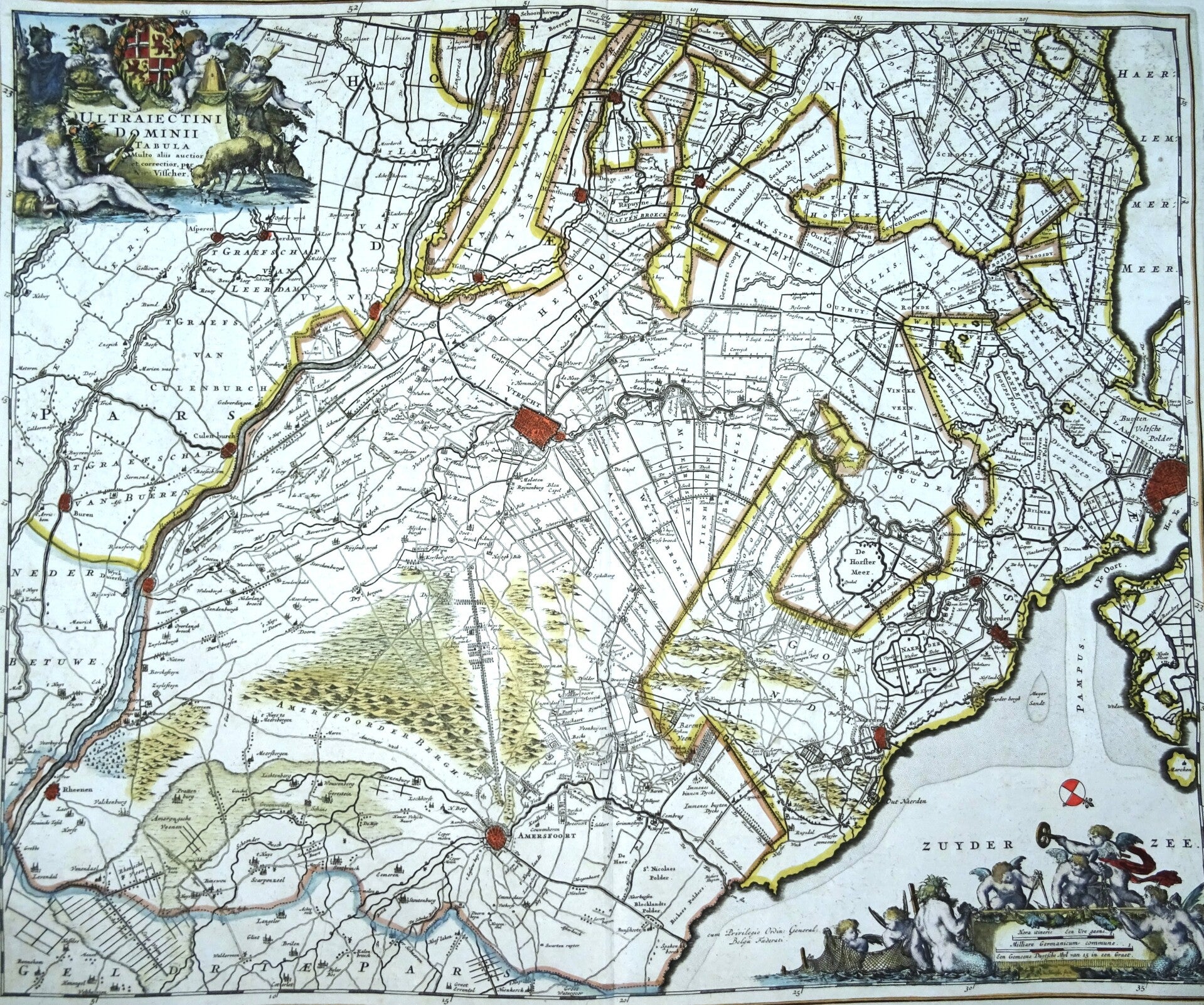
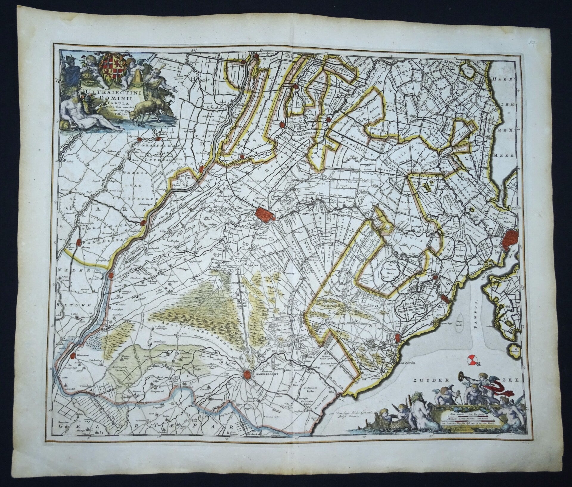
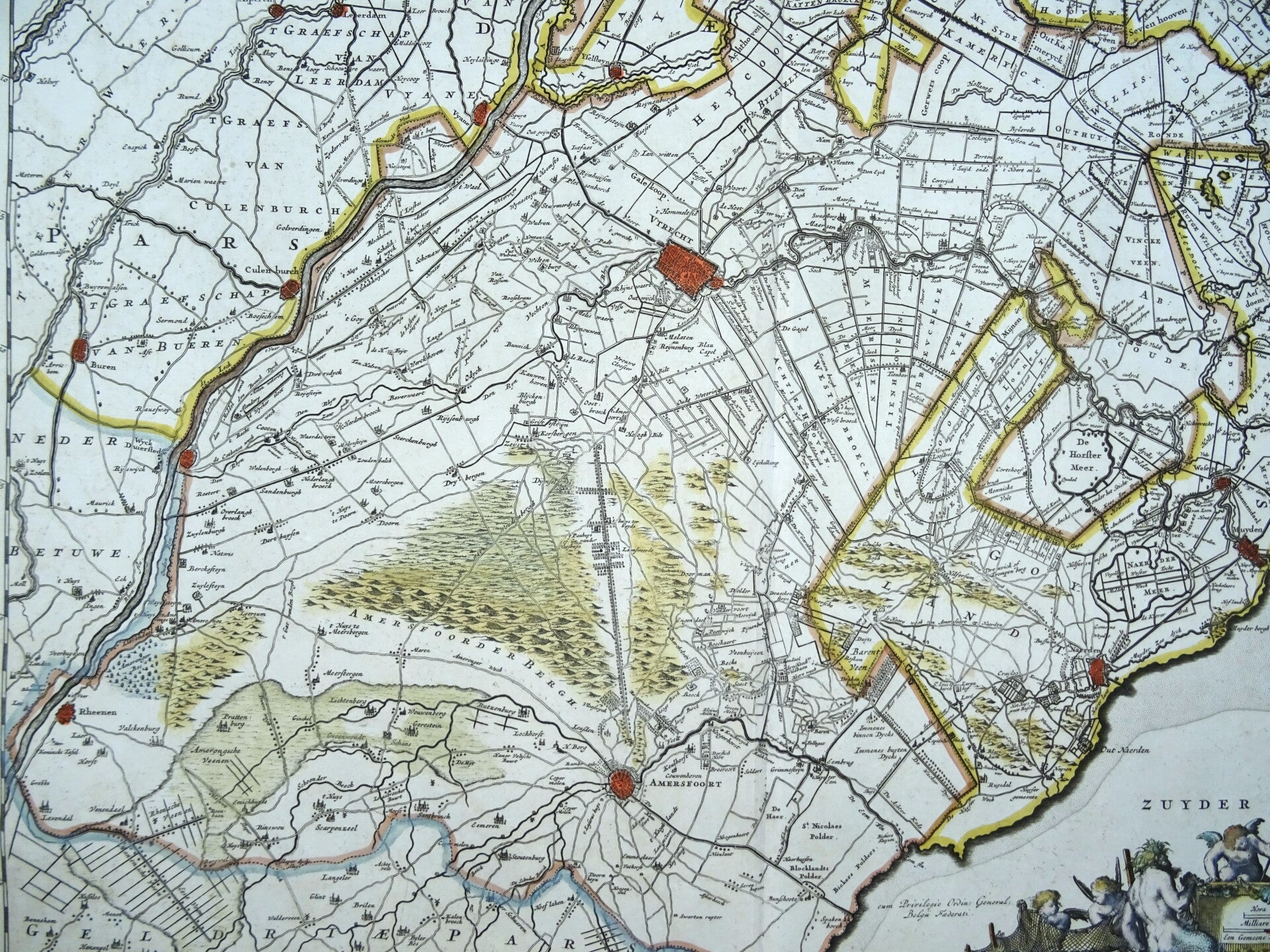
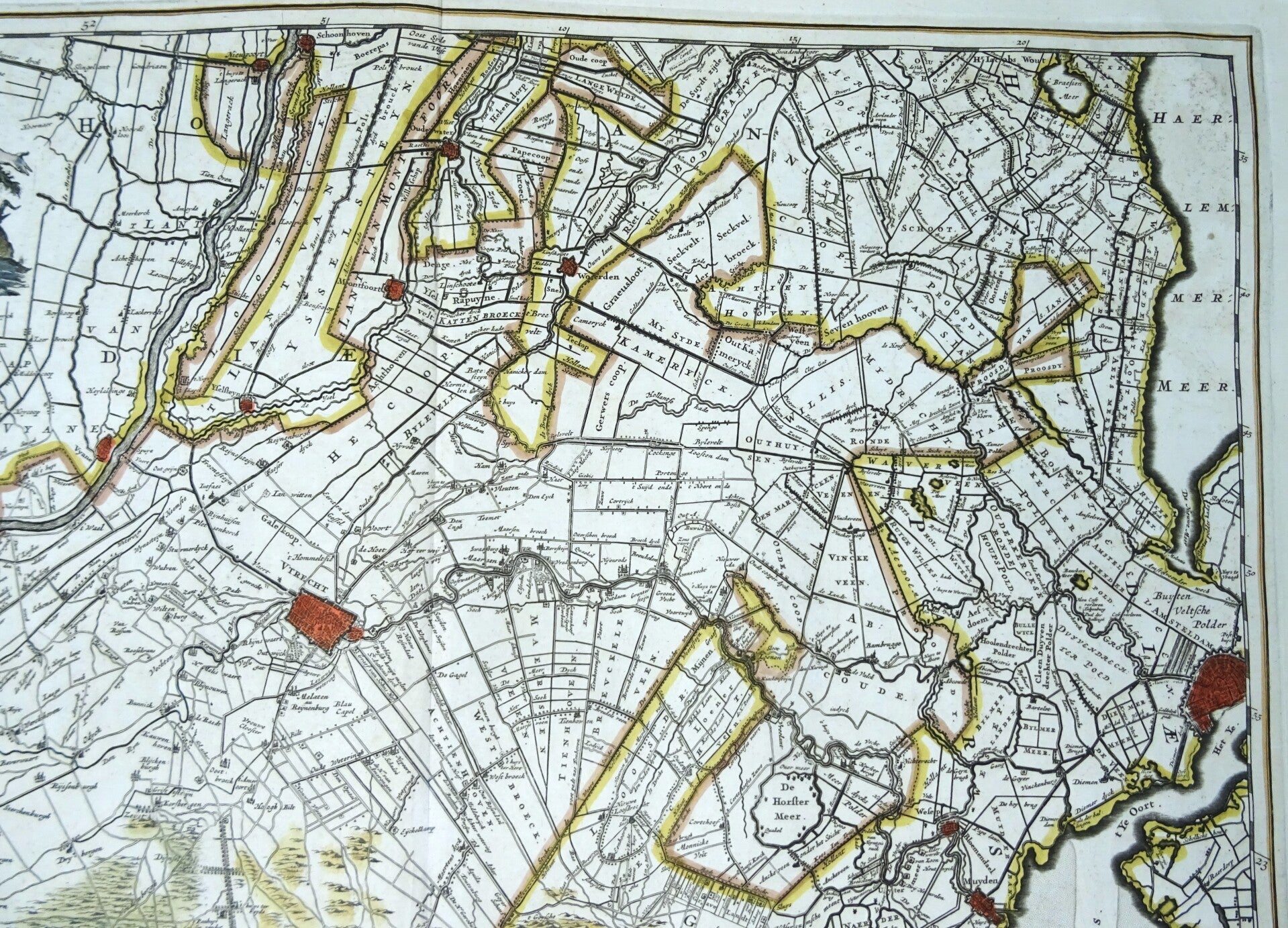
Netherlands, Utrecht, N. Visscher, 1690, Ultraiectini Dominii Tabula Multo aliis auctior et correctior per Nic. Visscher
€299.00
Item number:
25 21 BR
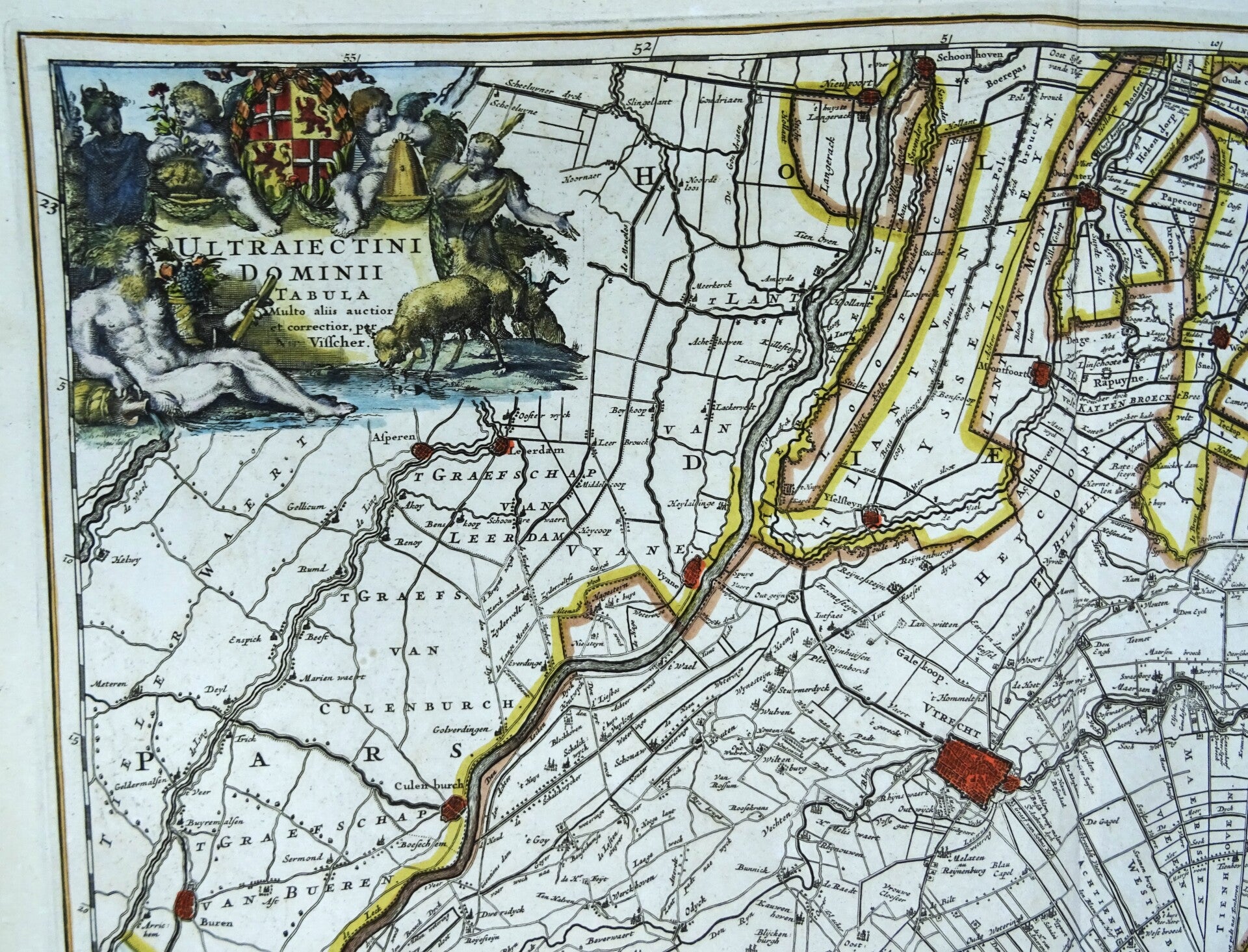
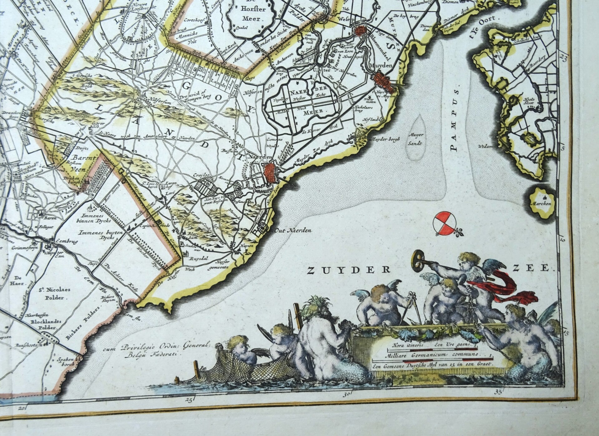
This impressive antique map of Utrecht from 1690 by Nicolaes Visscher depicts the province of Utrecht and adjacent parts of Gelderland and Holland. The map is oriented with north at the bottom right, giving it a unique perspective. It is adorned with two exquisite cartouches.
This edition (without text on the verso) was published exclusively in a composite atlas by Abraham Wolfgang, issued in Amsterdam around 1690.
Excellent condition
Image46,5x56,5cm, sheet 54x64cm