

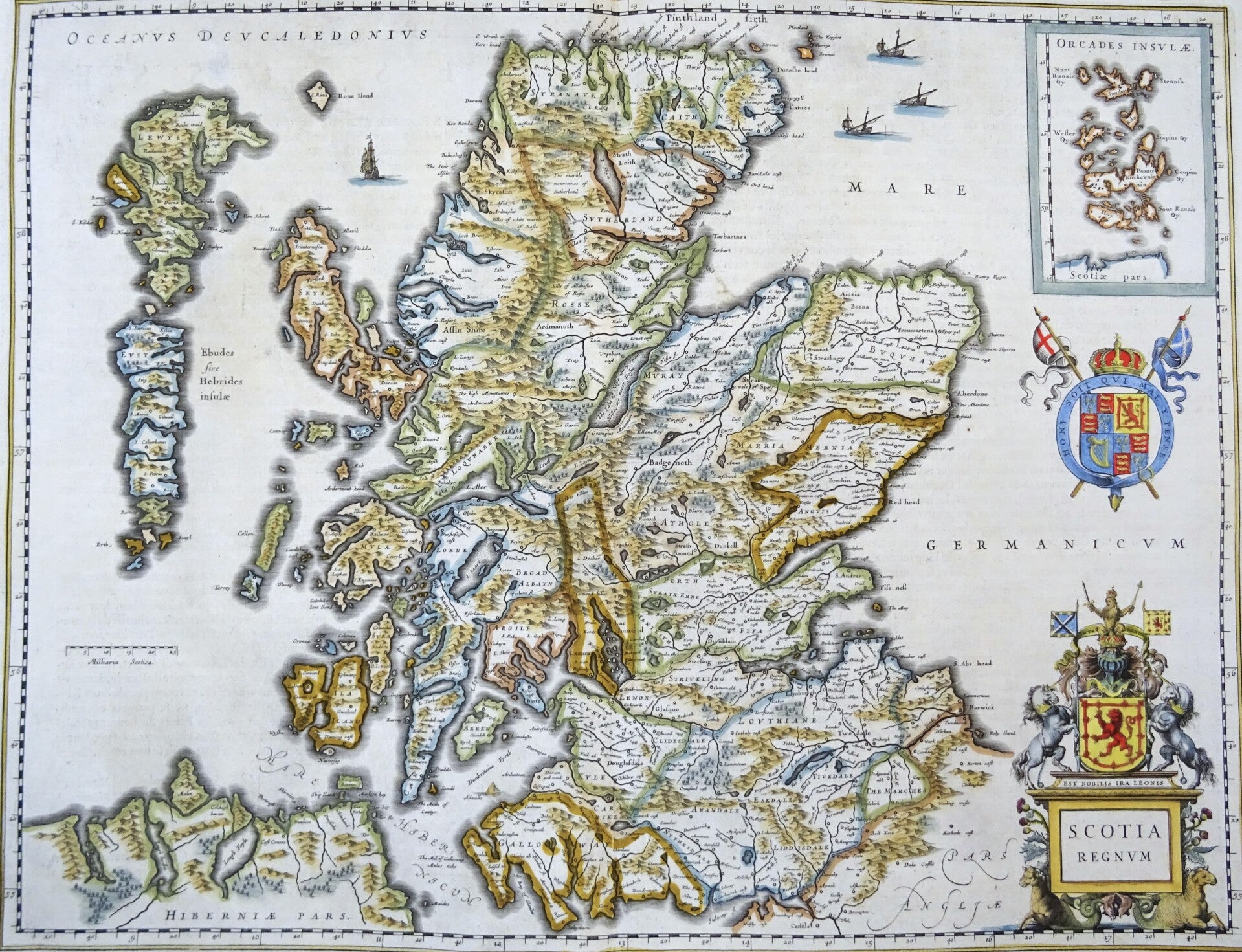
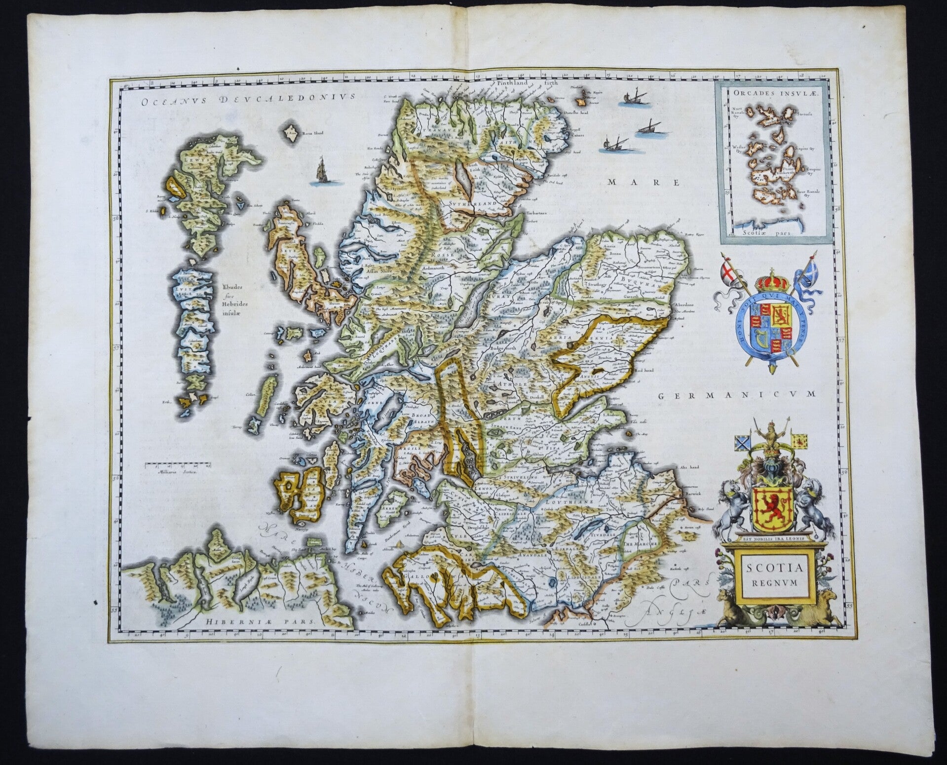
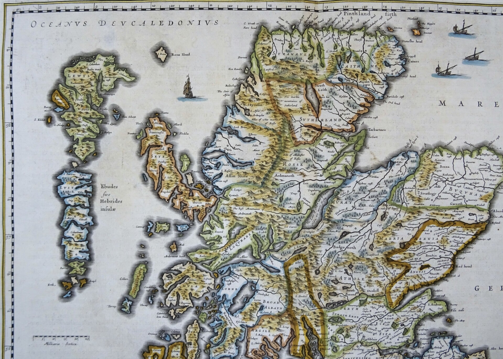
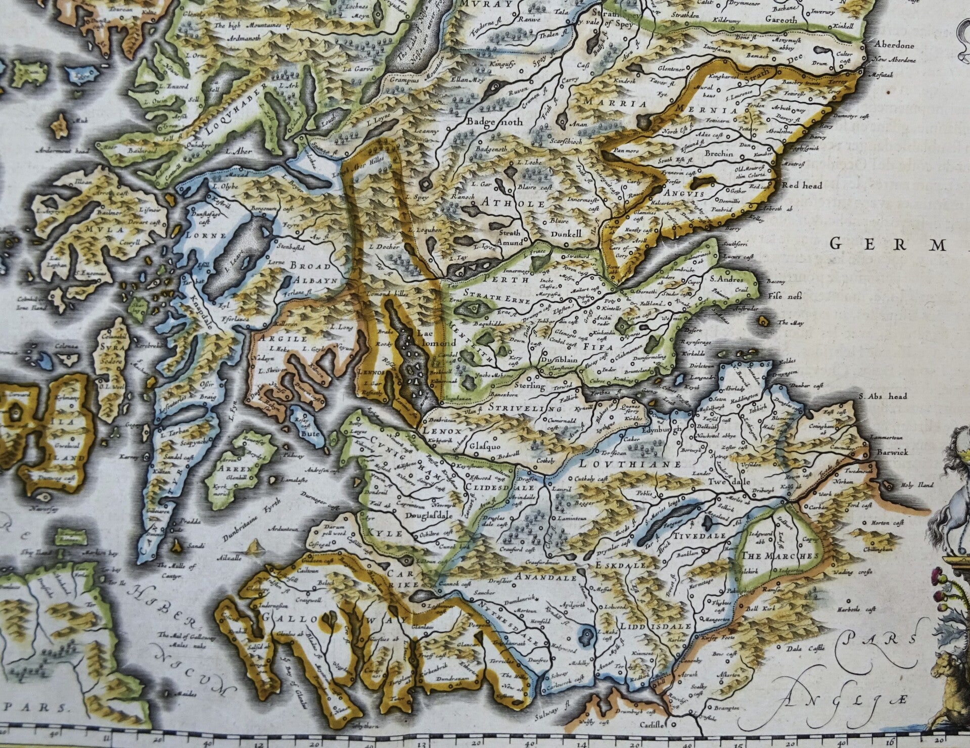
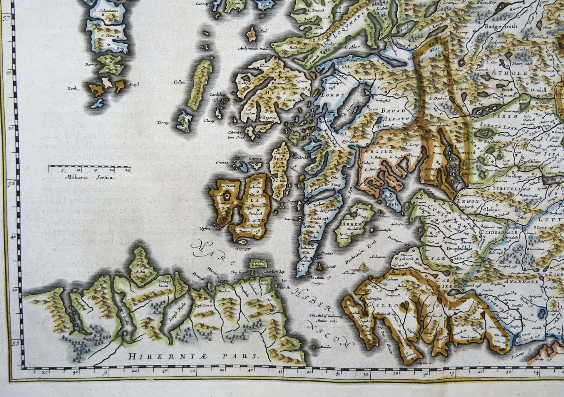
UK, Scotland, large map by W. Blaeu, 1635, Scotia Regnum
€249.00
Item number:
25 22 AQ
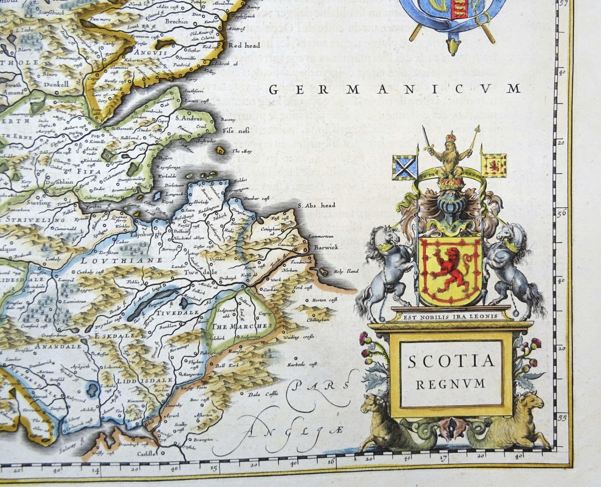
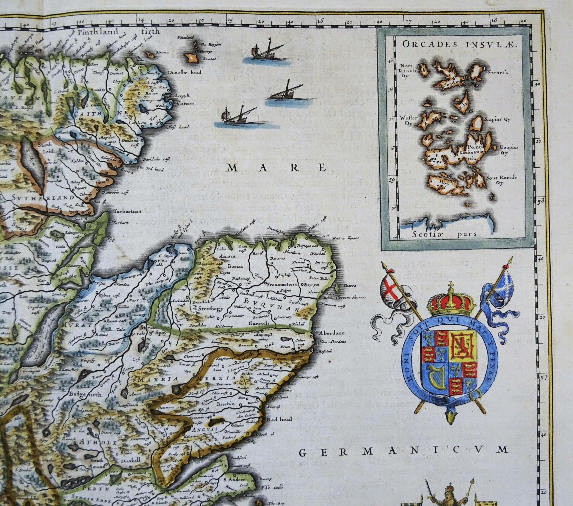
This expertly curated map of Scotland shows the detailed geography, settlements, and territorial divisions of Scotland during the seventeenth century, with decorative cartouches, coats of arms, and an inset of the Orkney Islands. It was published in the first French edition of "Atlas Novus," the atlas by William Blaeu, Amsterdam, 1635.
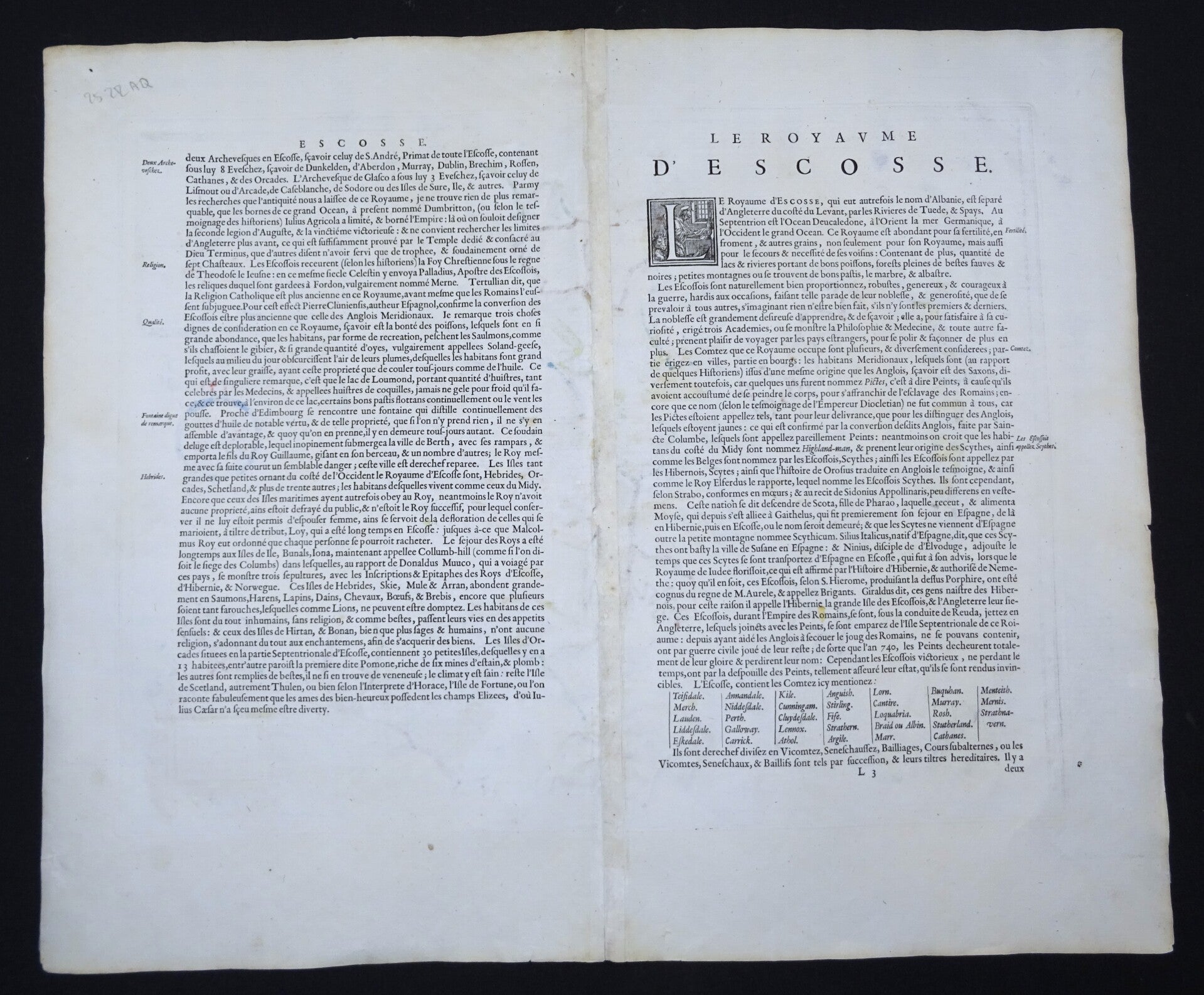
Very good condition, some repairs in the central fold, with minimal impact on the image. Otherwise excellent. Clear print, wide margins. Text on reverse in French.
Image 38x49,5cm, sheet 50x58cm