

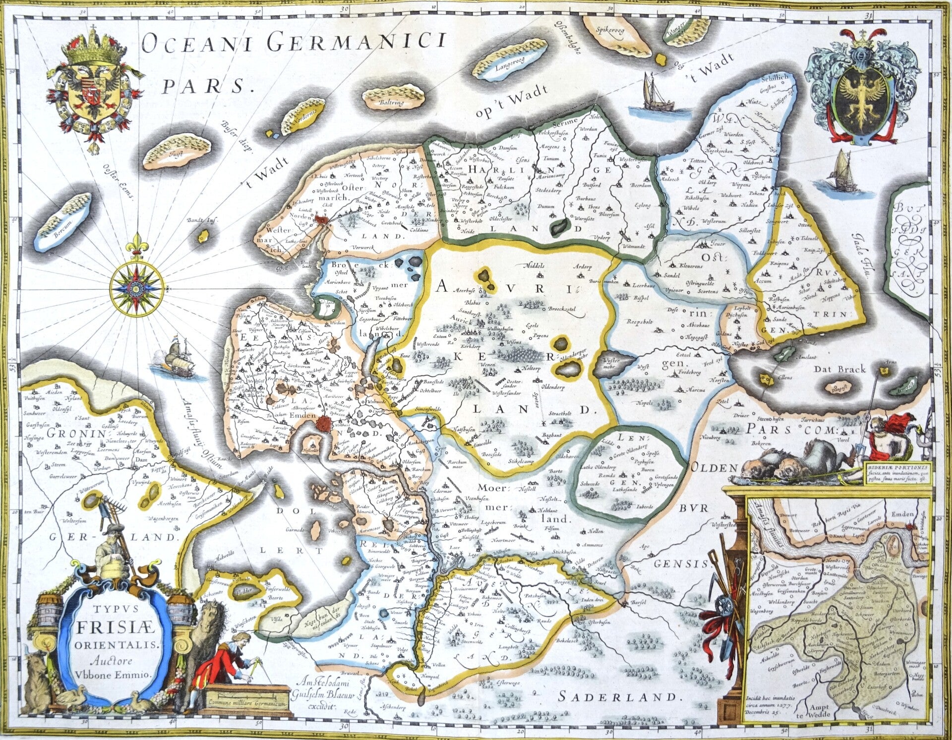
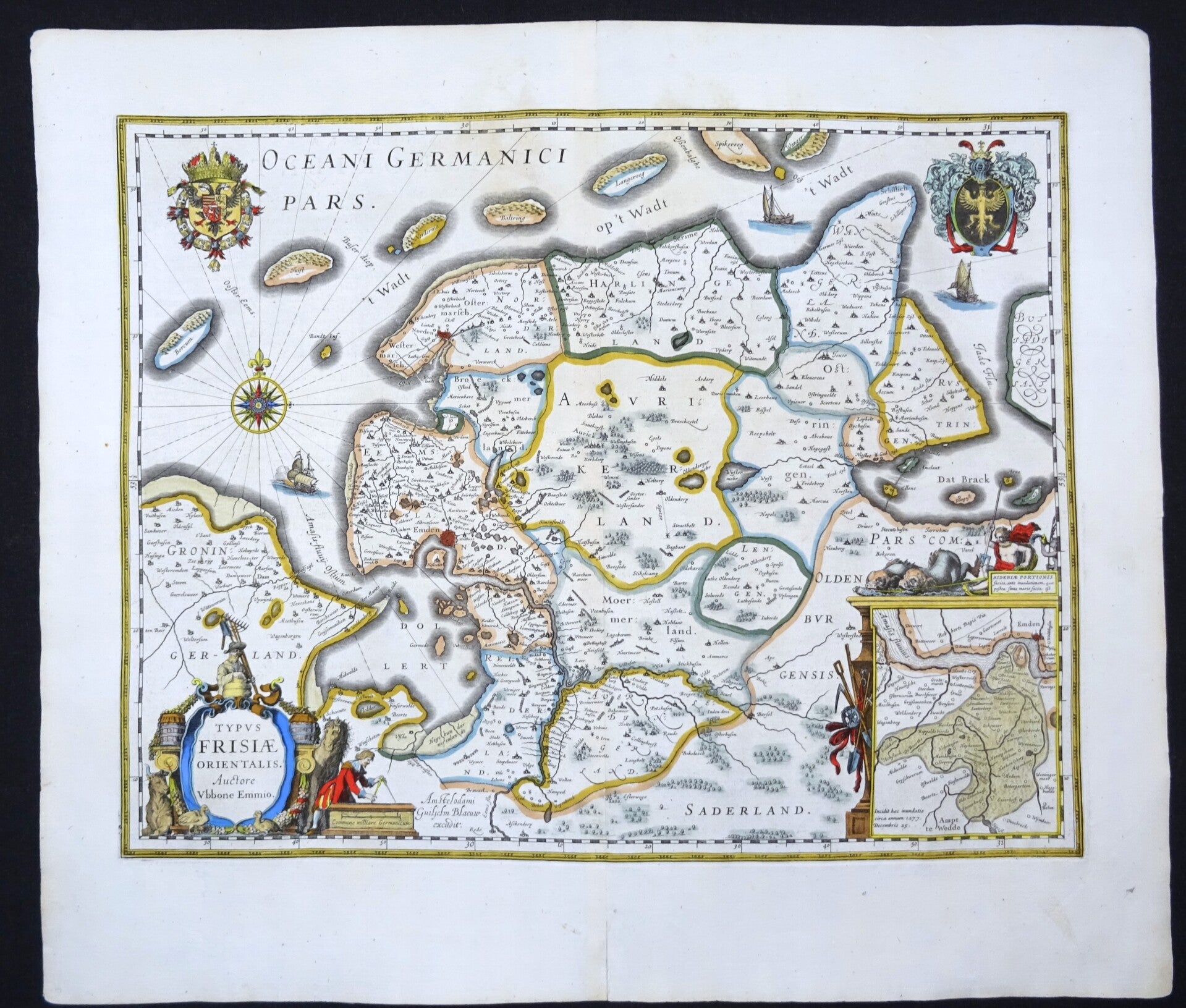
Germany, Ostfriesland, Emden, W. Blaeu, 1635, Typus Frisiae Orientalis ...
Sold out
€119.00
Item number:
26 25 C
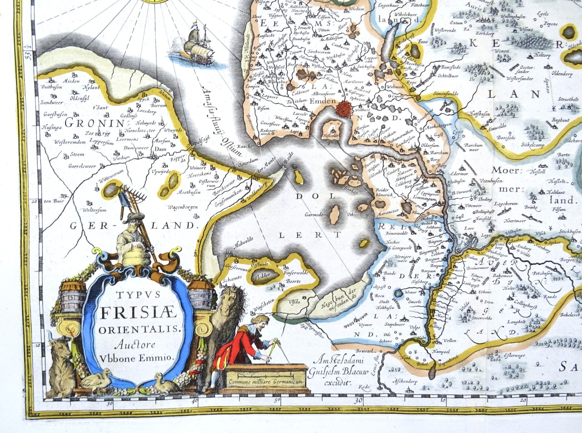
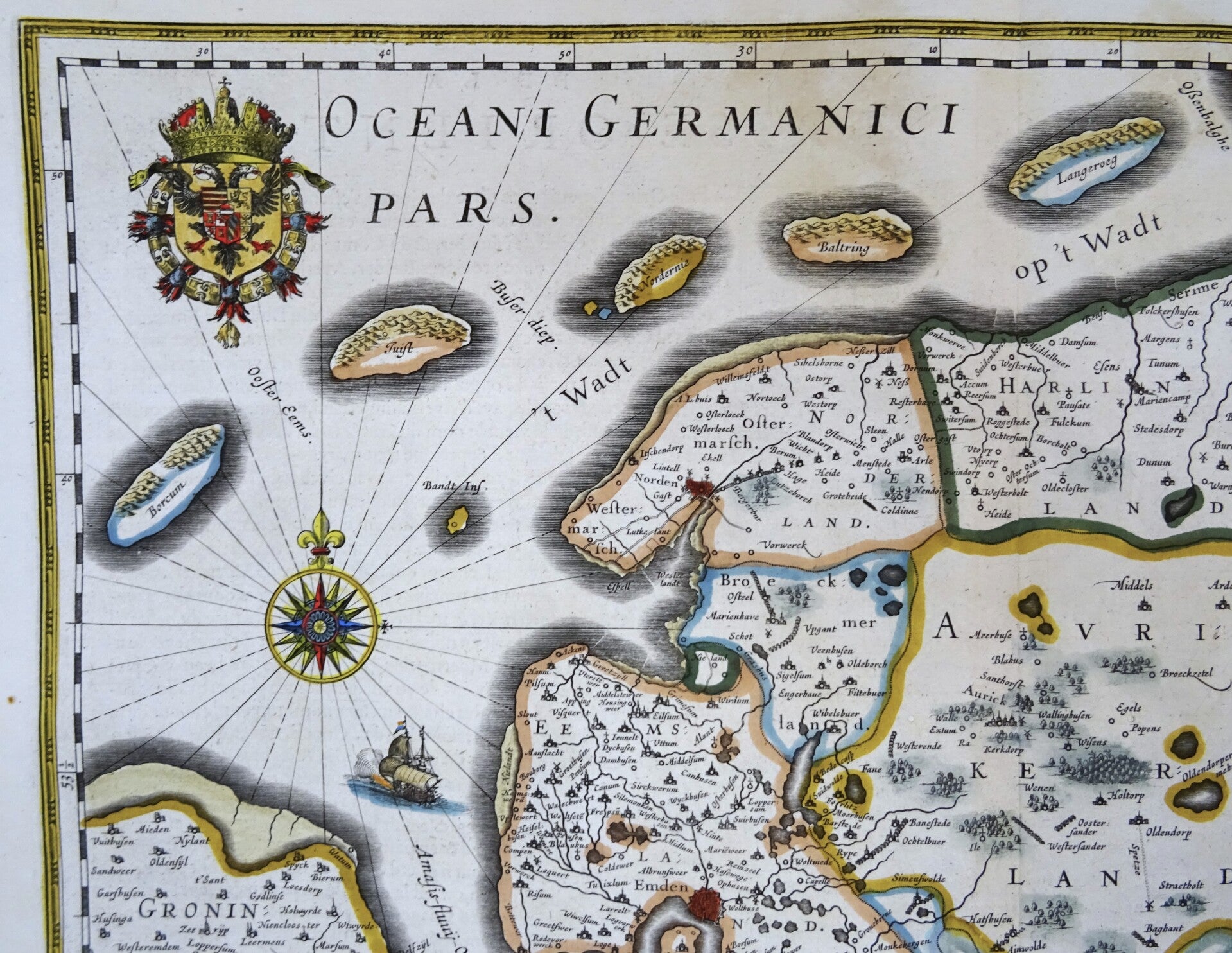
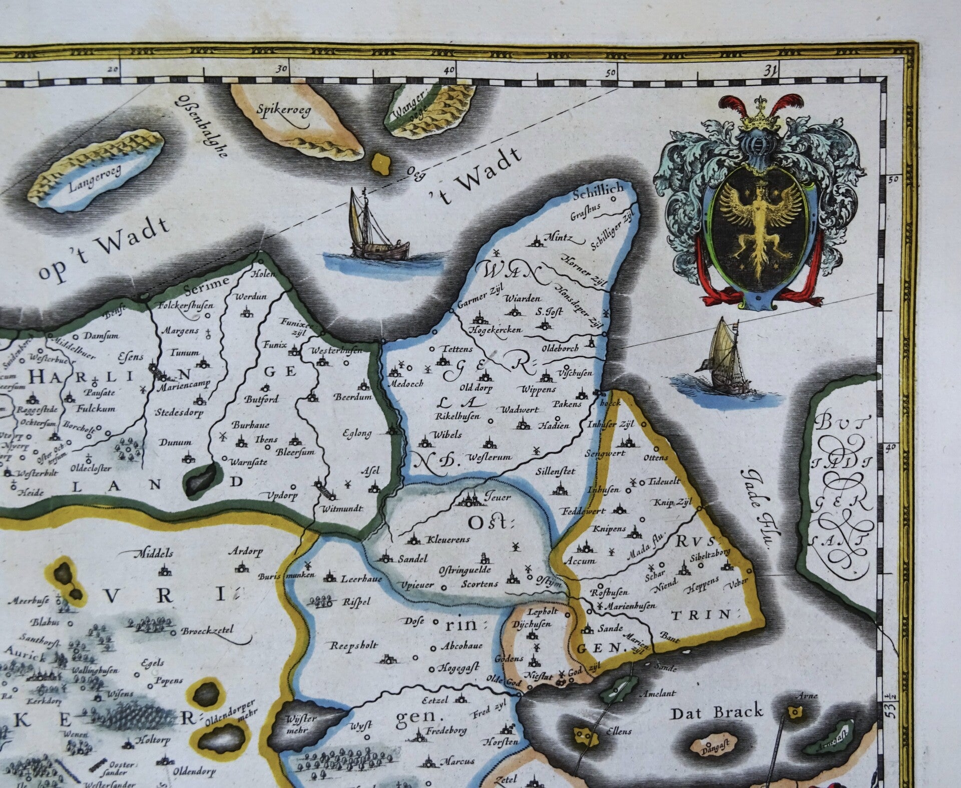
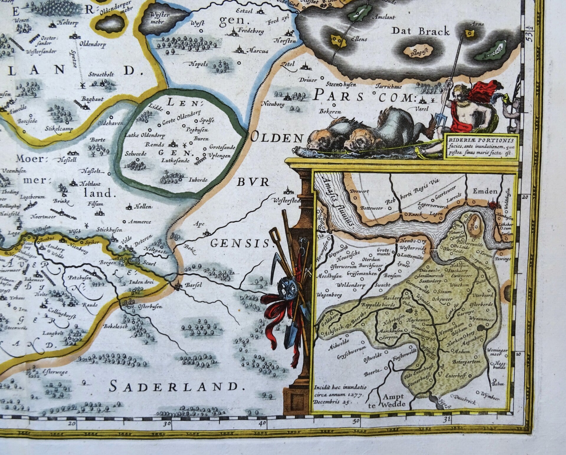
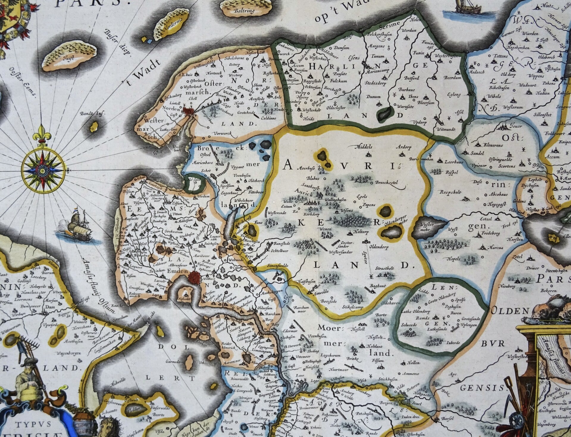
Beautiful 17th century map of Ostfriesland in the North of Germany. Decorated with beautiful title cartouche, inset map of the Emden area (and the flooded area of Rheiderland.)and multiple sail ships, compass roses etcetera.
Cartographer: Ubbo Emmius. Published by W. and J. Blaeu in 1635 in Amsterdam in the French edition of their first large atlas (Atlas Novus).
References: Van der Krogt 2, 2310:2.1.
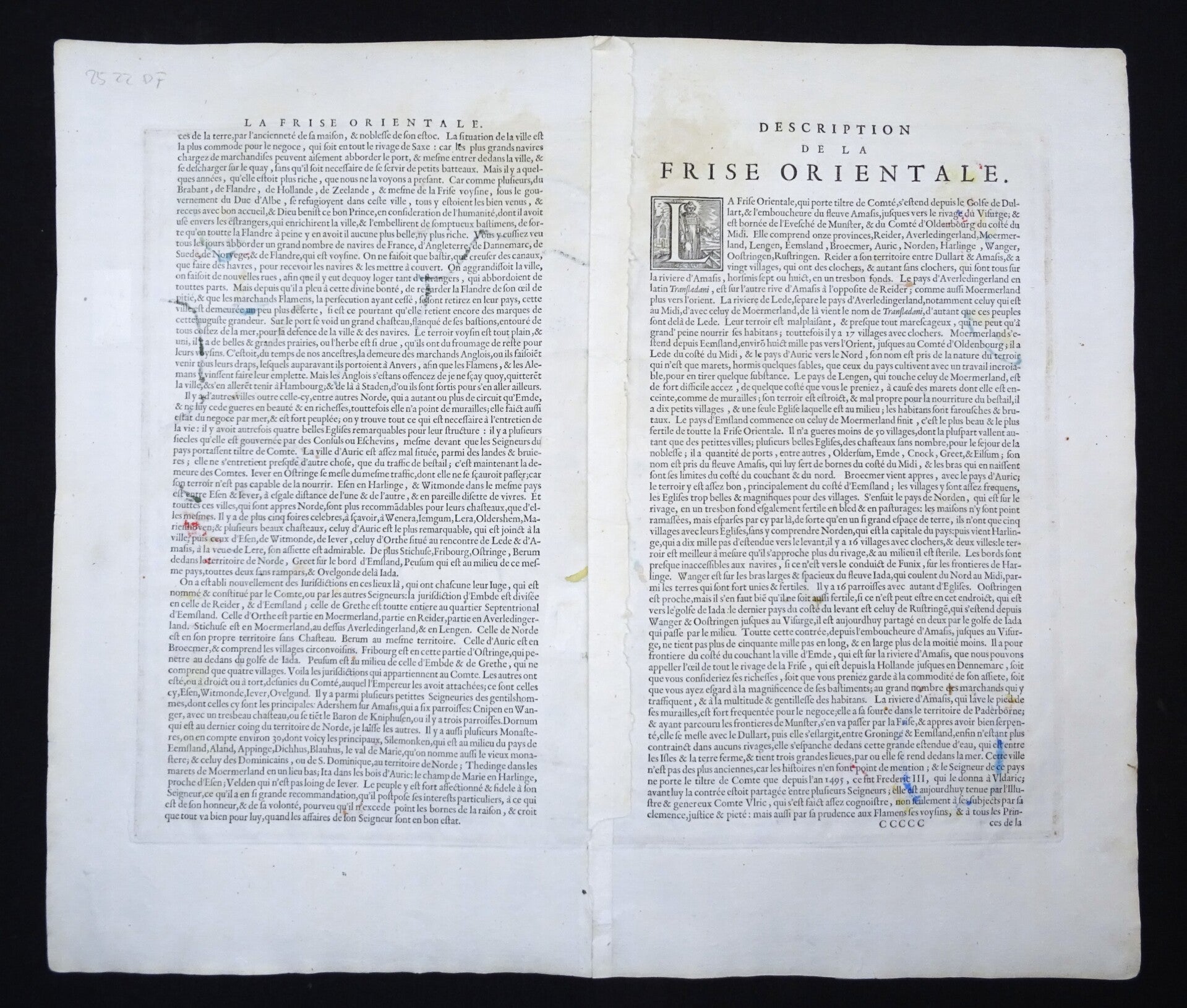
Excellent condition. Some minimal age browning/staining. Thick paper with wide margins. Clear print. Centrald fold (as issued). French text on reverse.
Image 37,5x48,5cm, sheet 49x57cm