

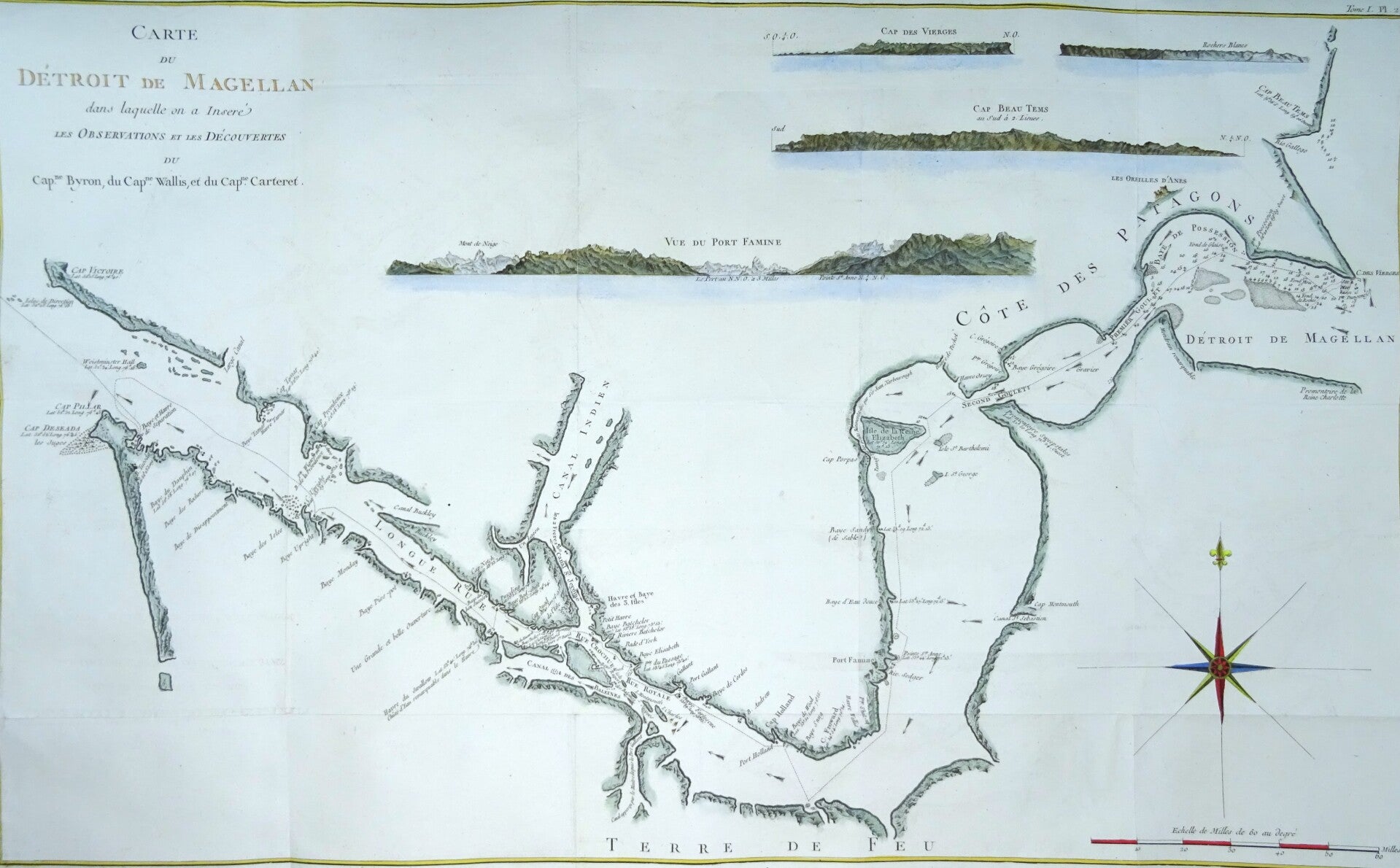
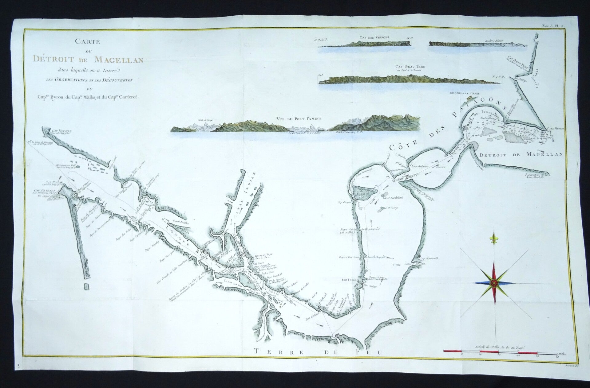
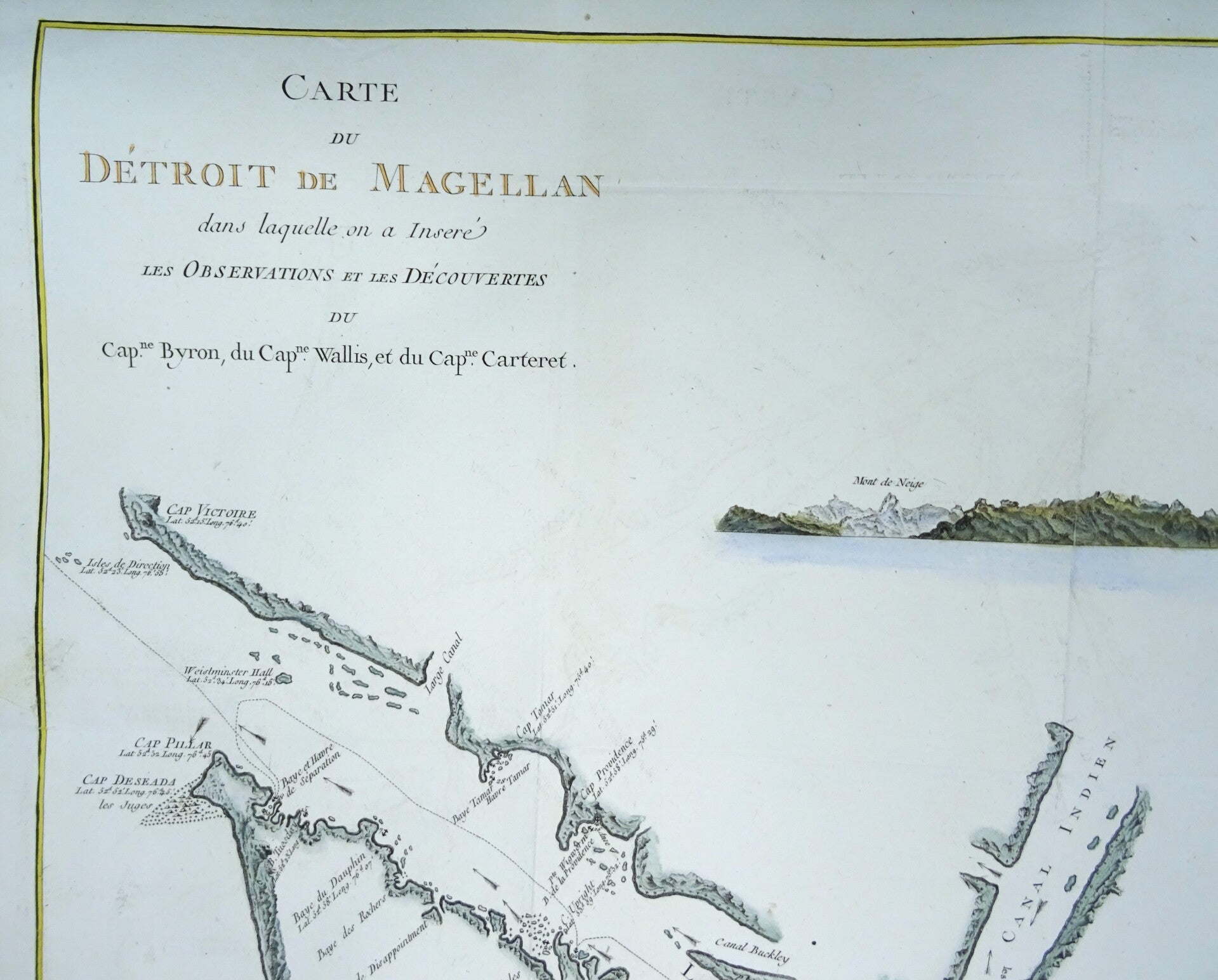
Argentina, Chile, Strait of Magellan, Tierra de Fuego.. Benard/Cook, 1774, Carte du Detroit de Magellan...
€219.00
Item number:
25 7 B
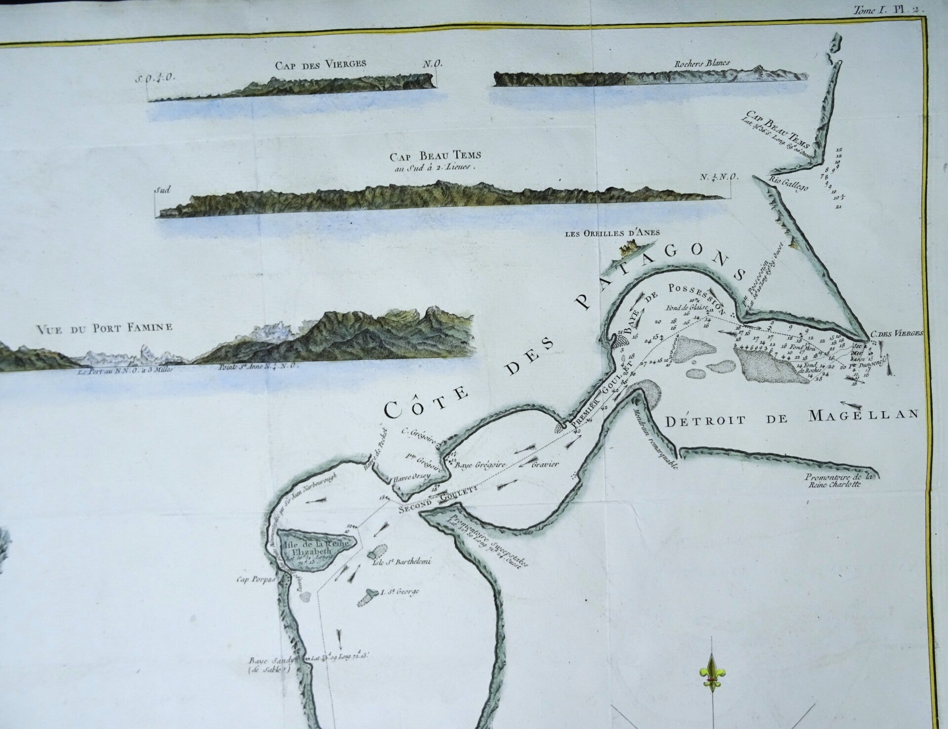
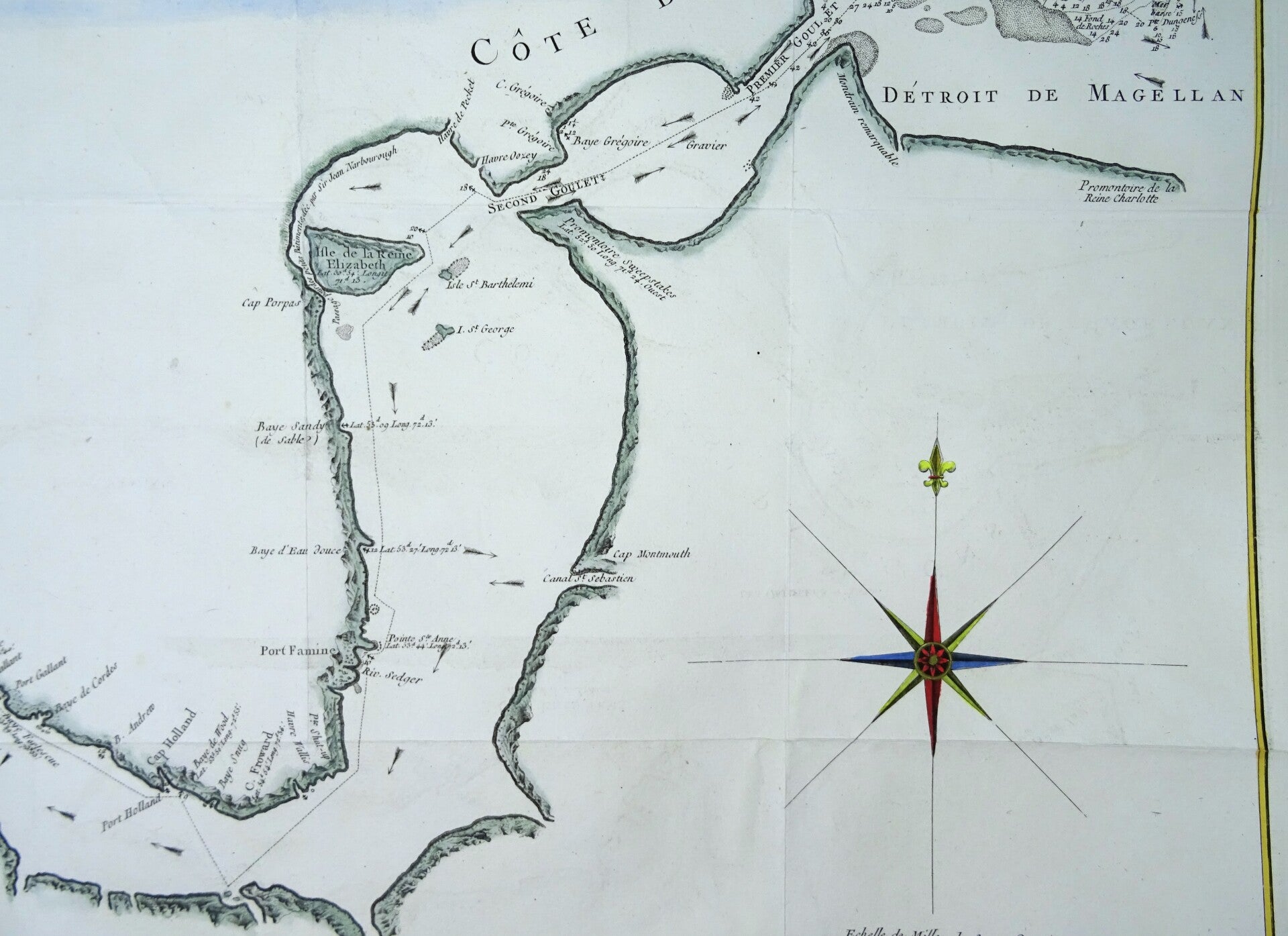
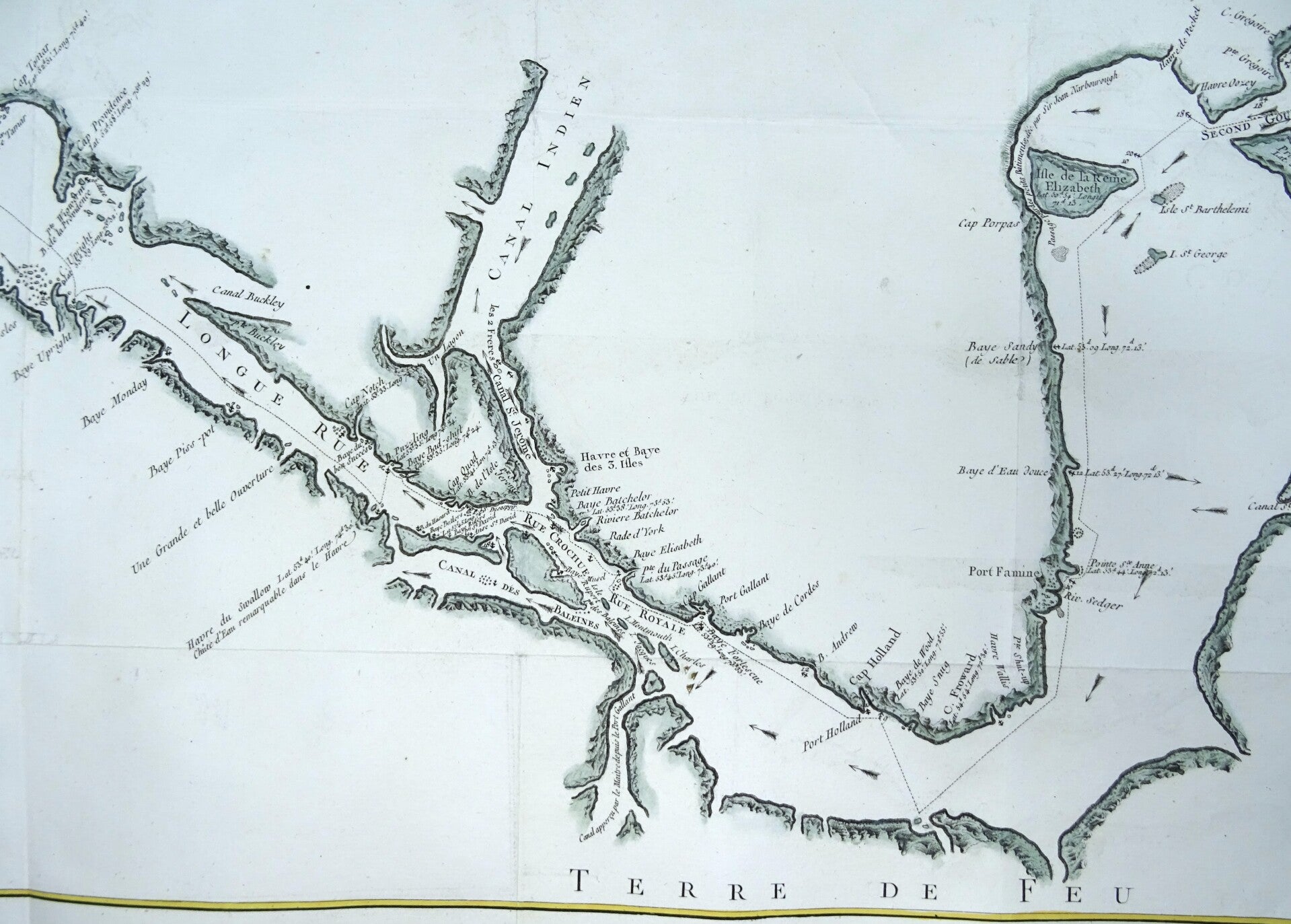
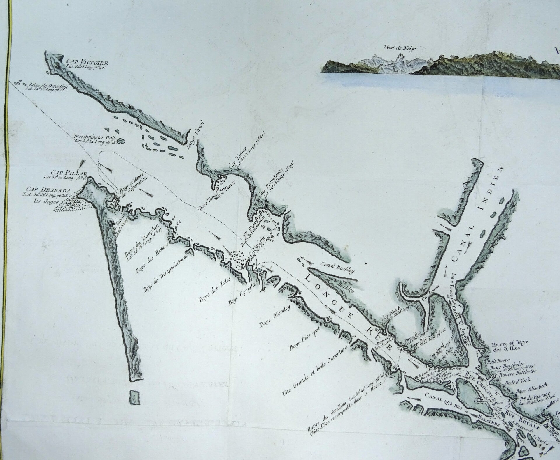
Rare and very large chart of the Straits of Magellan. It depicts the discoveries of the navigators Byron, Wallis and Carteret. Terrific detail includes soundings, current directions, shoals and anchorages.
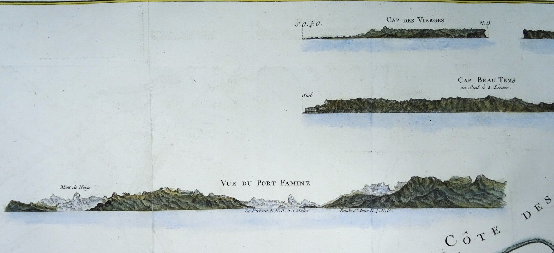
Four large coastal views (Cap des Vierges, Rochers Blancs, Cap Beau Tems and Vue du Port Famine) in upper portion show the land to be rugged and mountainous.
This map was engraved by Robert Bénard for the 1774 French edition of Hawkesworth's 1773 account of Cook's voyages.
Very good condition. Thick and strong paper. Clear print. Wide margins. Folds as issued. Left margin partially extended with antique paper. Reverse side blank.
Image 46x75,5cm, page 50x79cm