

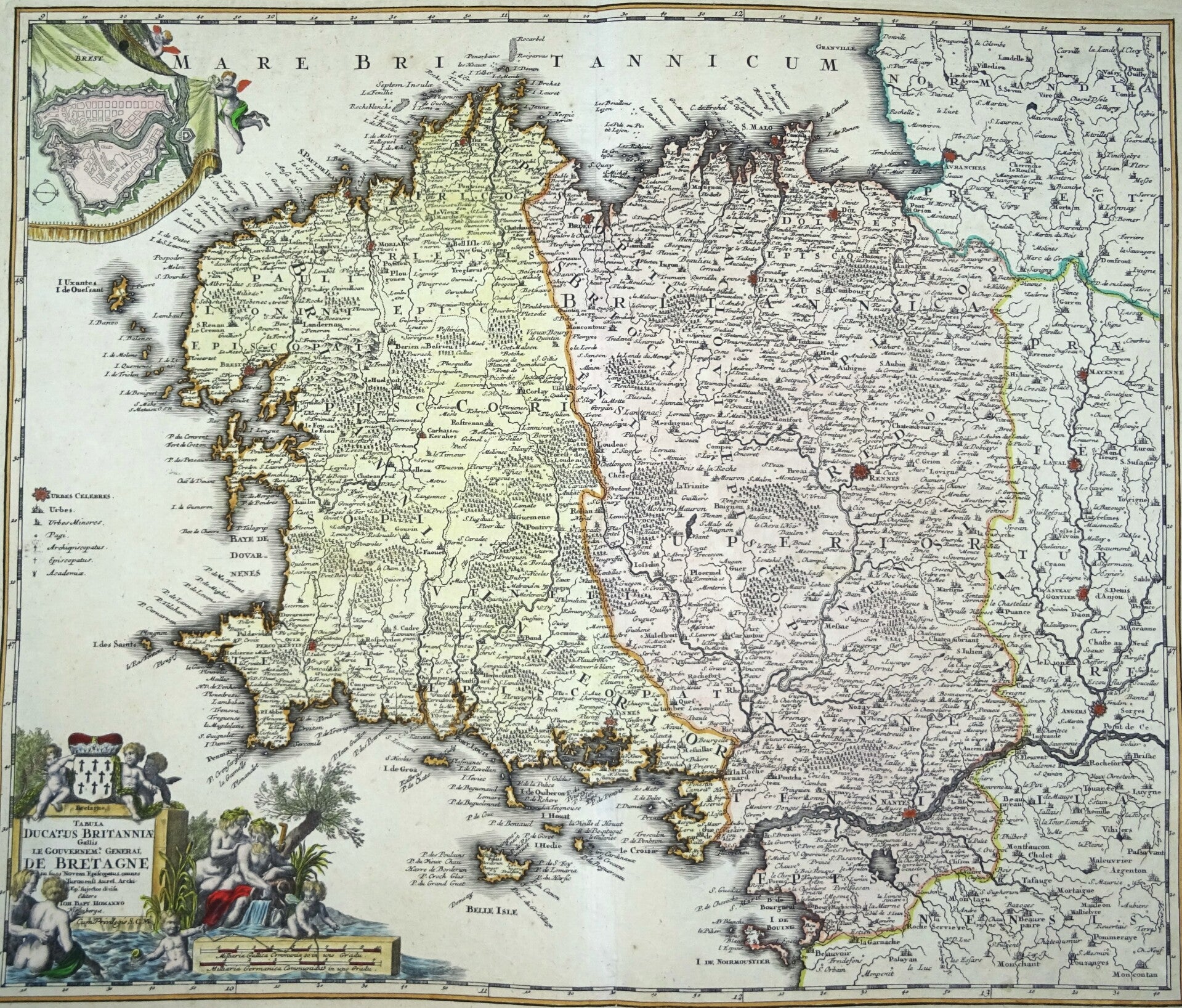
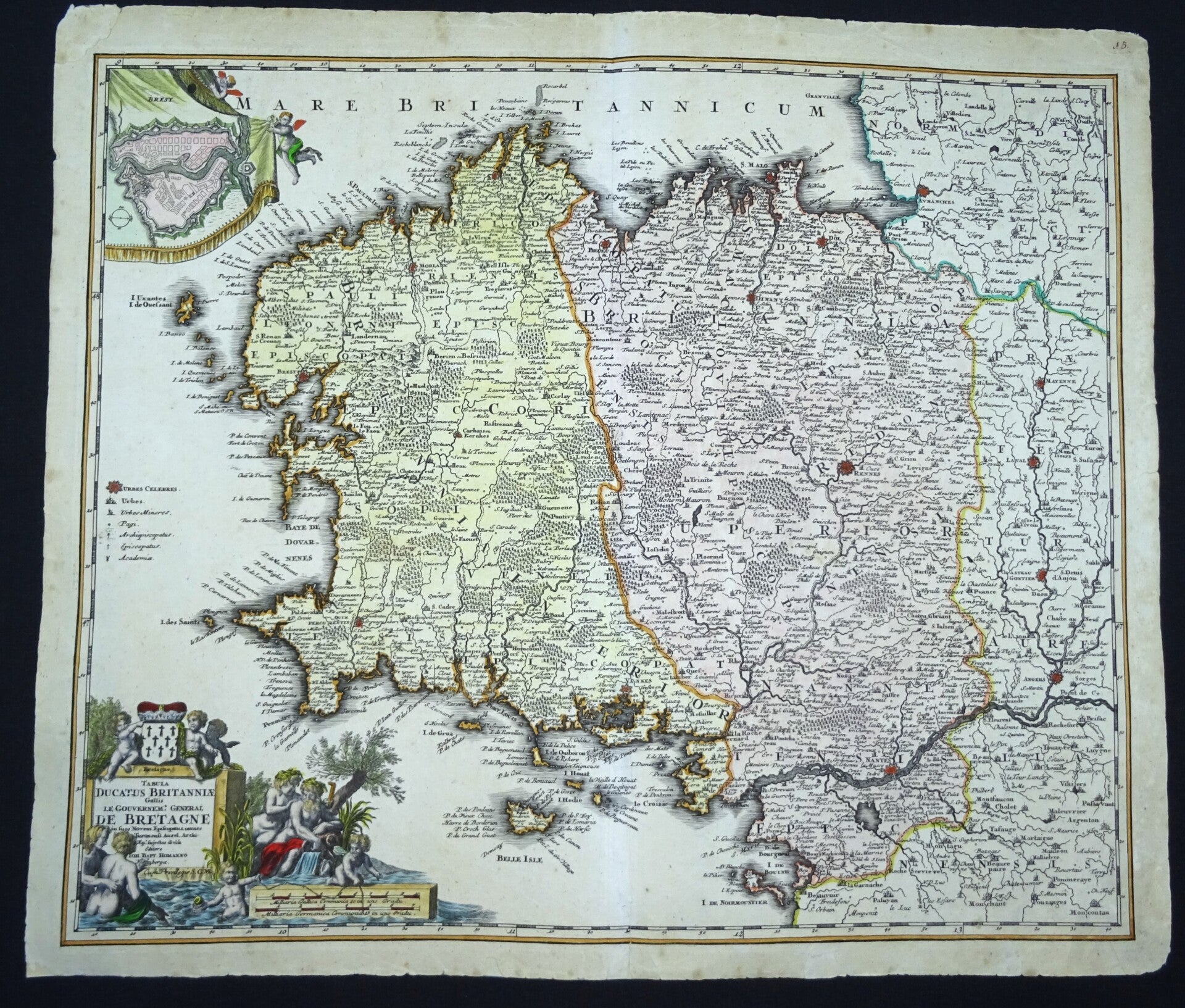
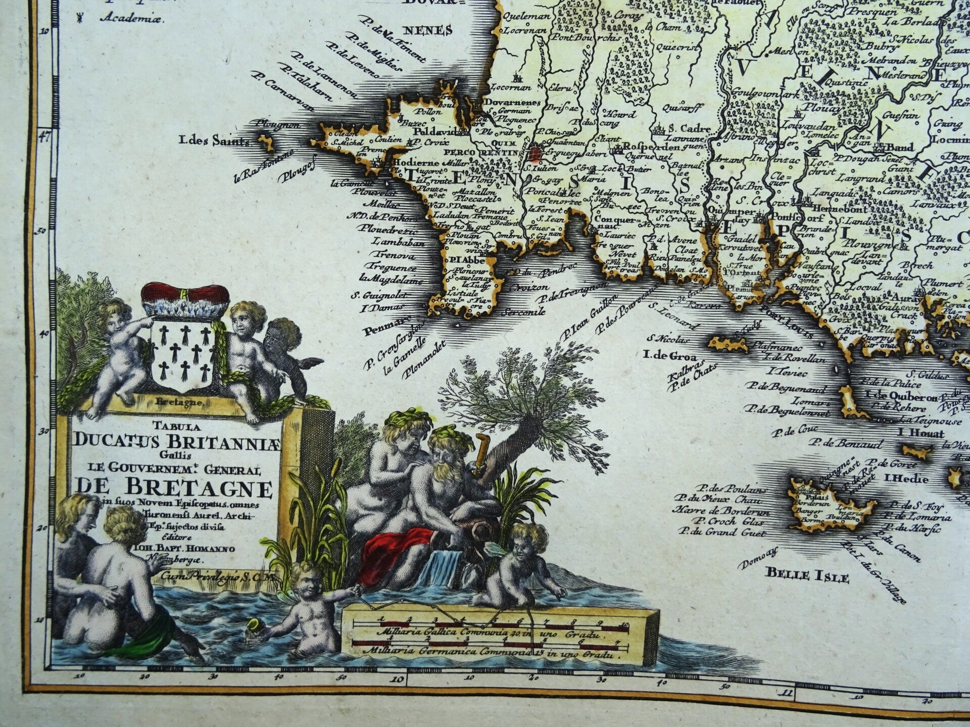
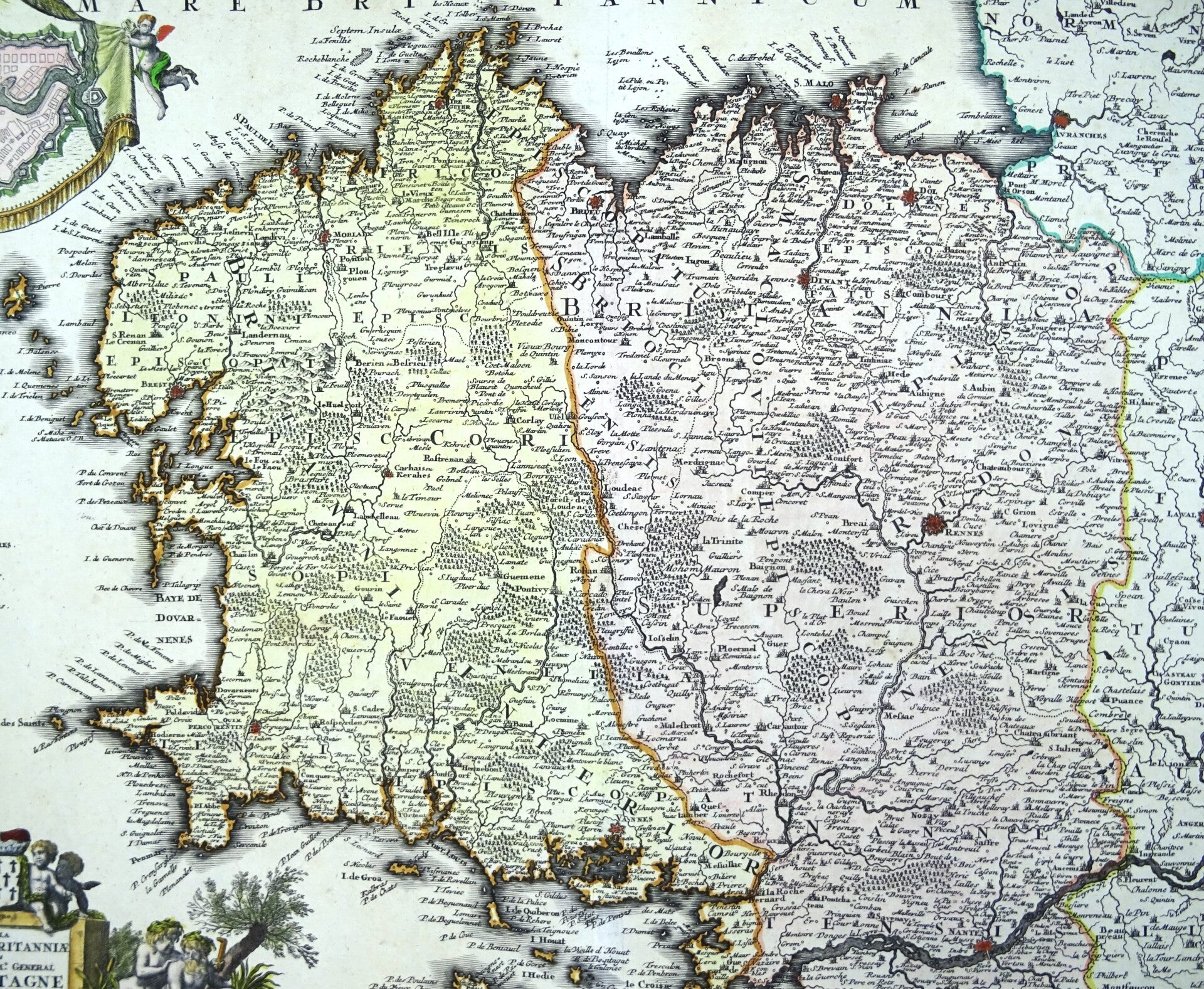
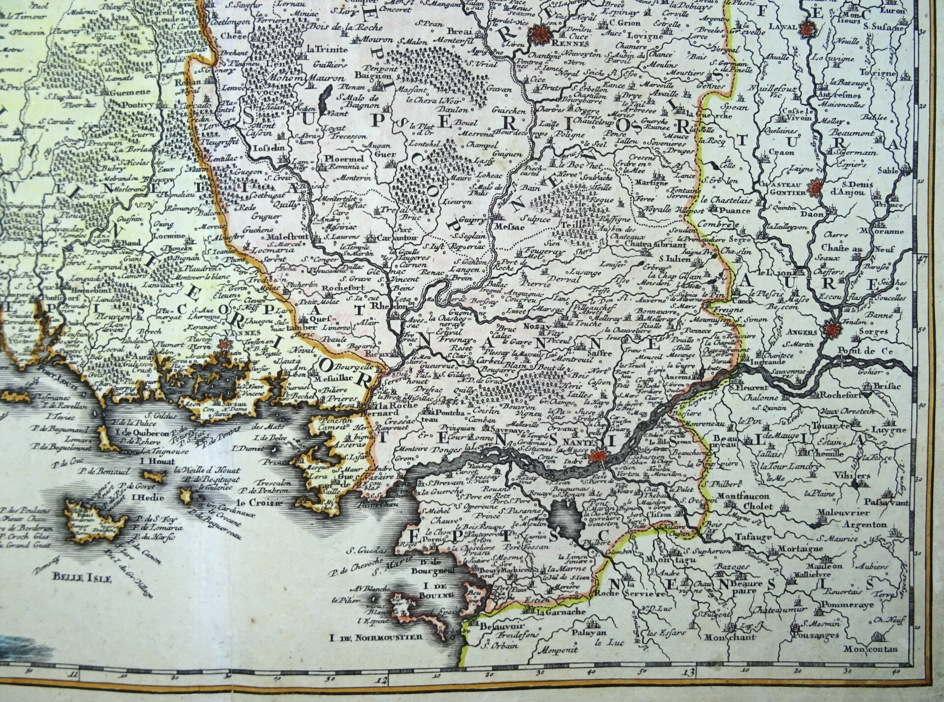
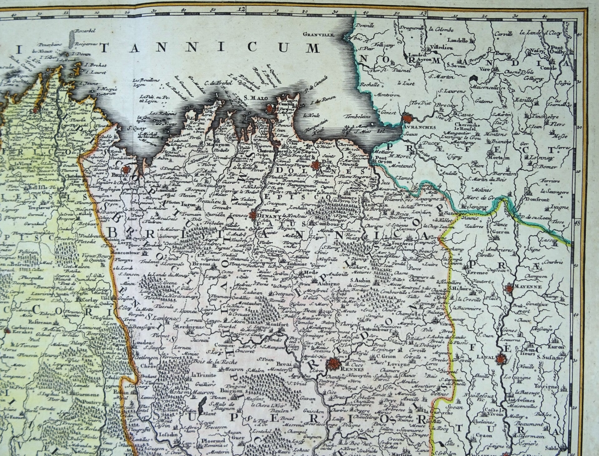
France, Bretagne (Brittany) Homann, 1716, Tabula ducatus britanniae gallis - Le gouvernement général de Bretagne
€149.00
Item number:
26 8 A
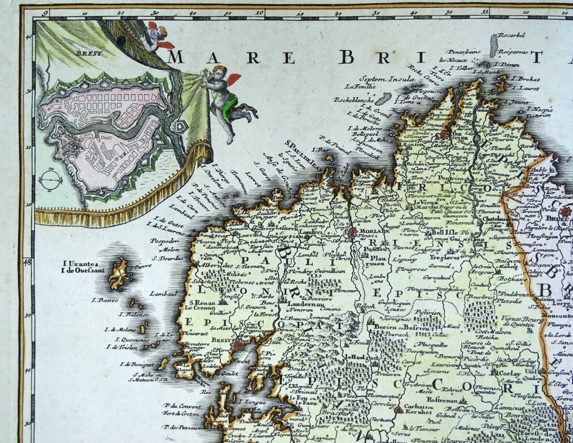
Early 18th century copper engraved map of Brittany. It was engraved and published by the German cartographer Johann Baptist Homann around 1716 in Nuremberg. Map details: Author: Johann Baptist Homann (1664-1724). Publication date: Circa 1716. Subject: The Duchy and General Government of Brittany. Division: The region is divided into its nine historical bishoprics. Ornamentation: It includes a decorative cartouche and often a plan of the city of Brest.
Very good condition, original coloring.
Image 49x57,5cm, sheet 53cmx61,5cm