

Belgium, Netherlands, Luxembourg, RARE! N. Visscher, 1690, Germaniae Inferioris XVII Provinciarum Acuratissima Tabula Nuperrime edita per Nicolaum Visscher
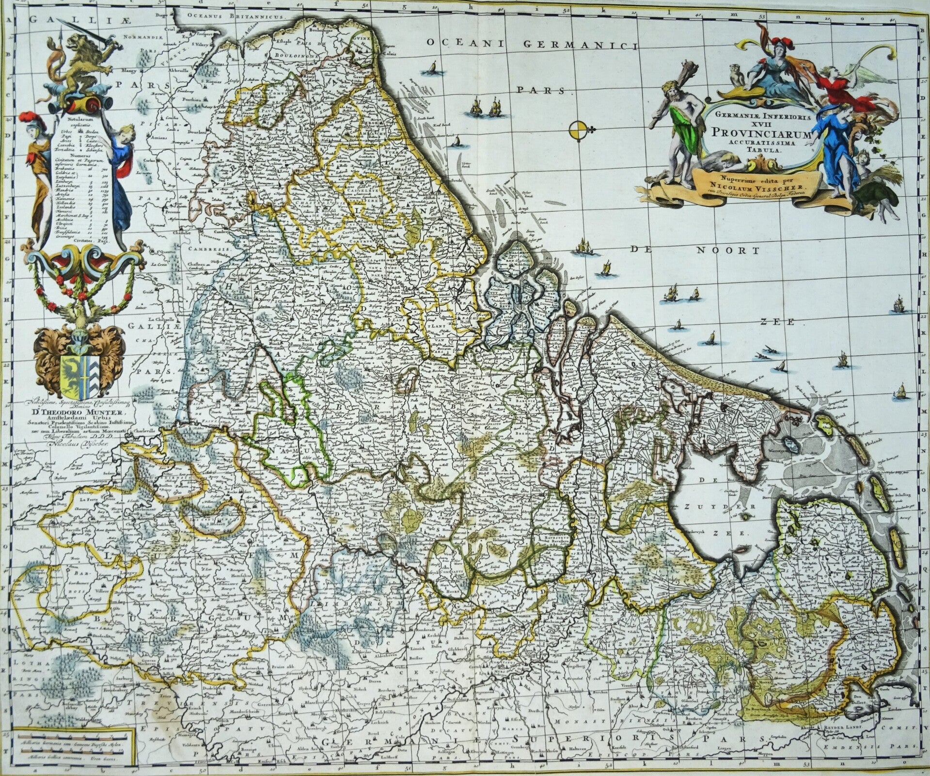
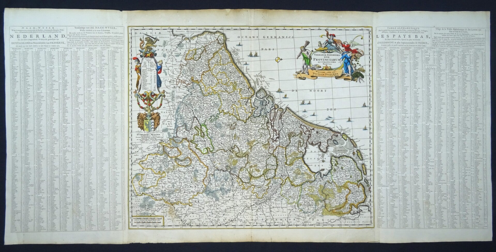
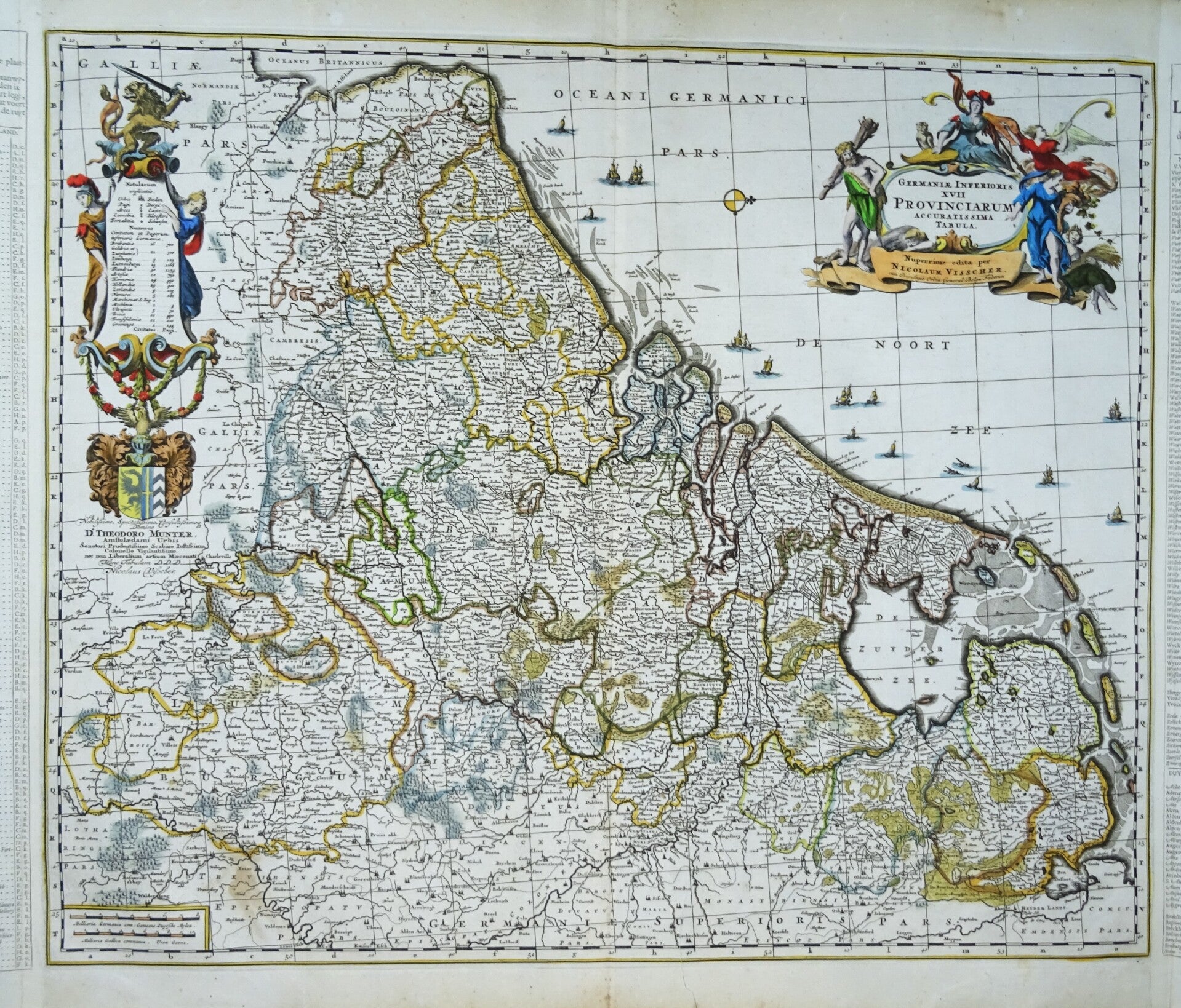
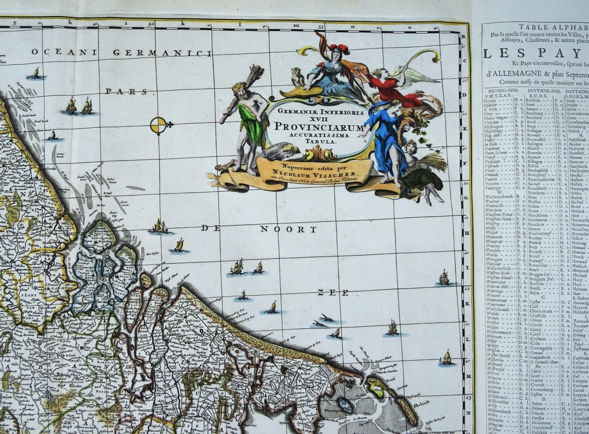
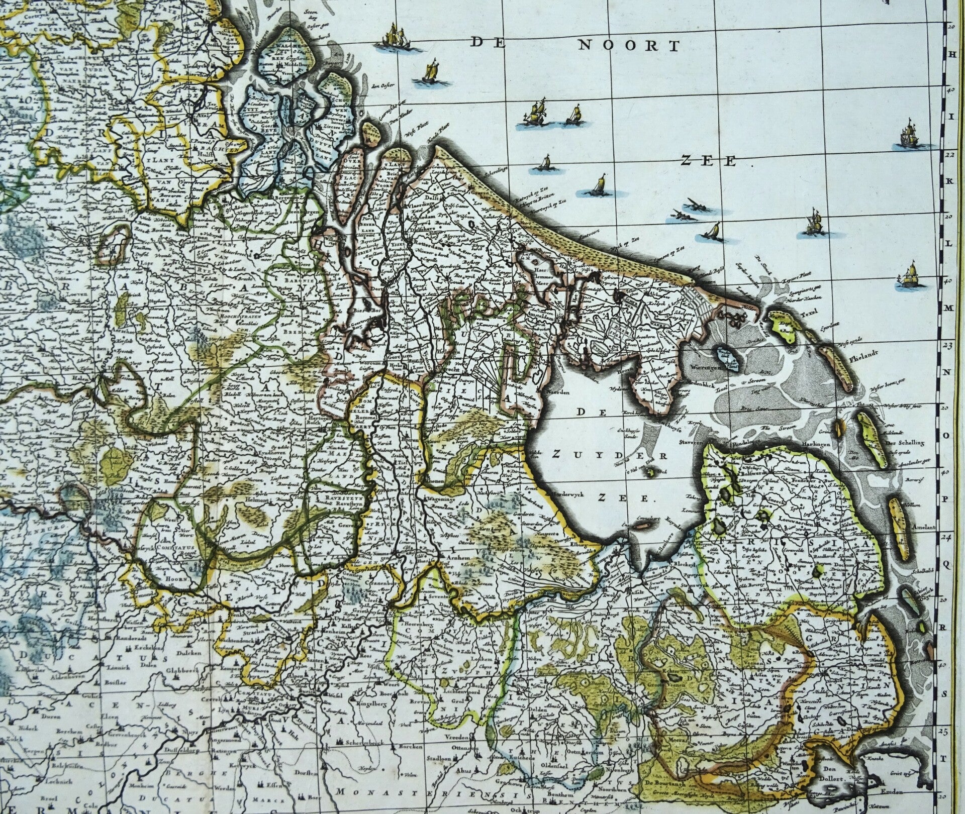
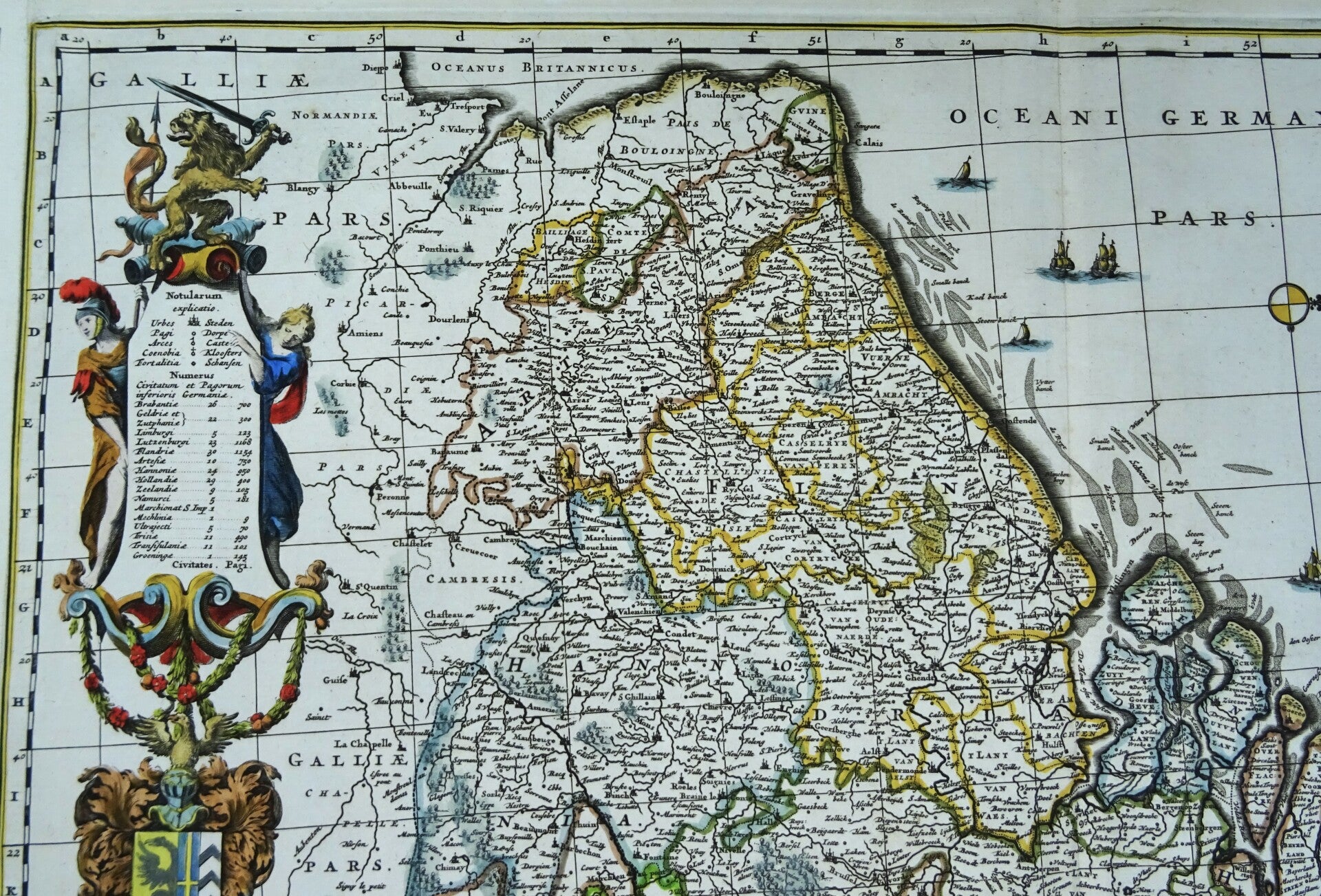
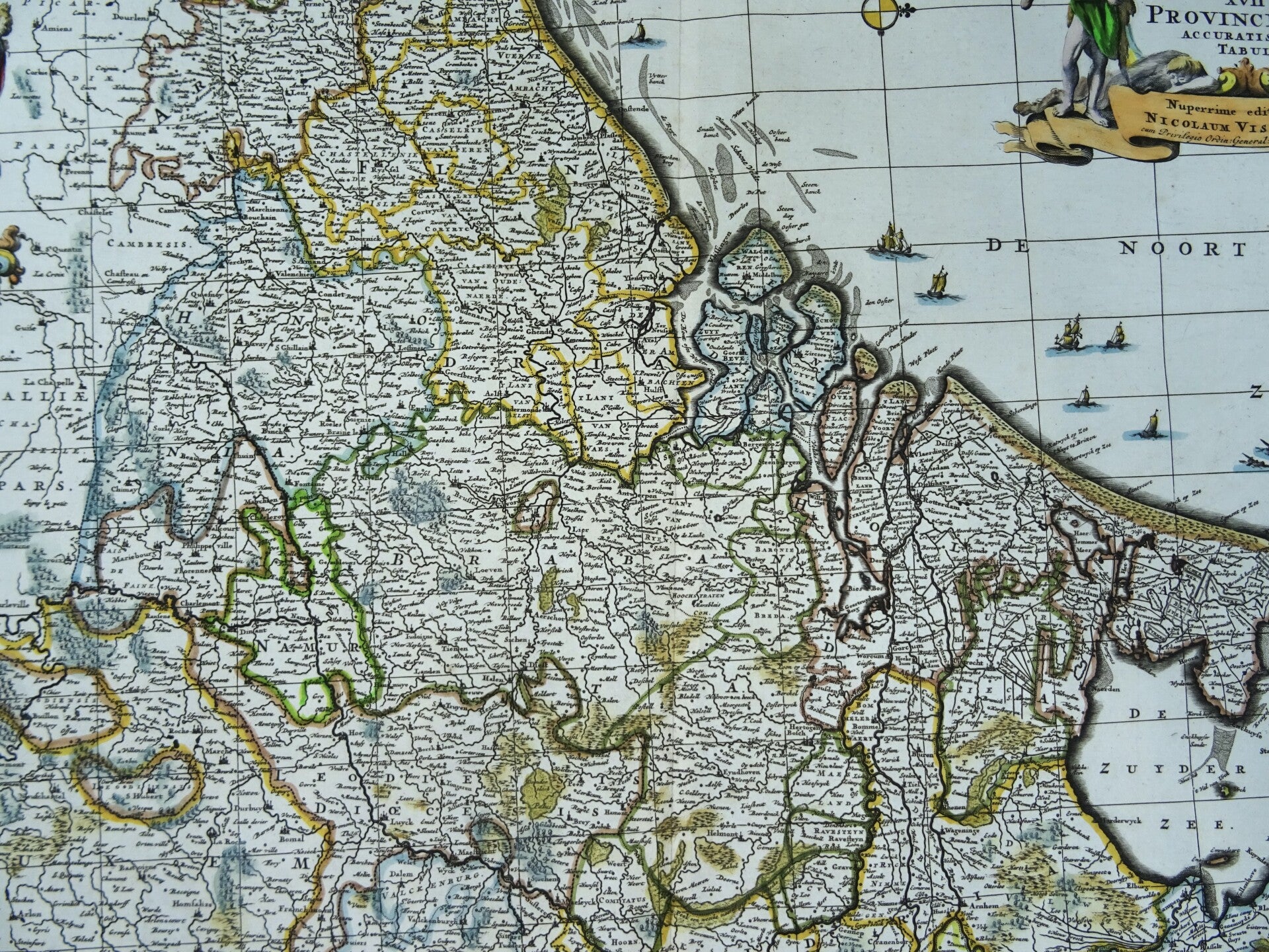
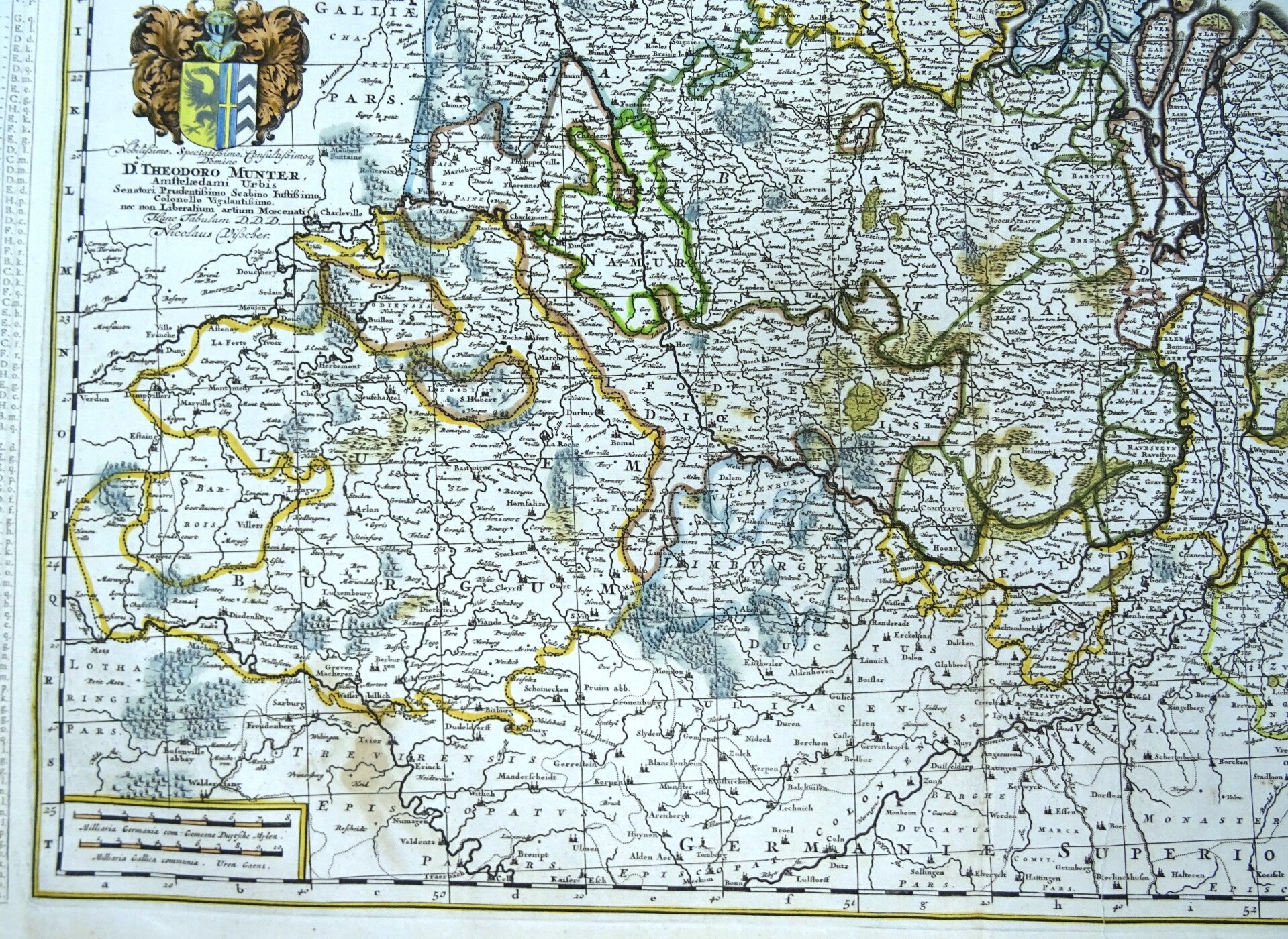
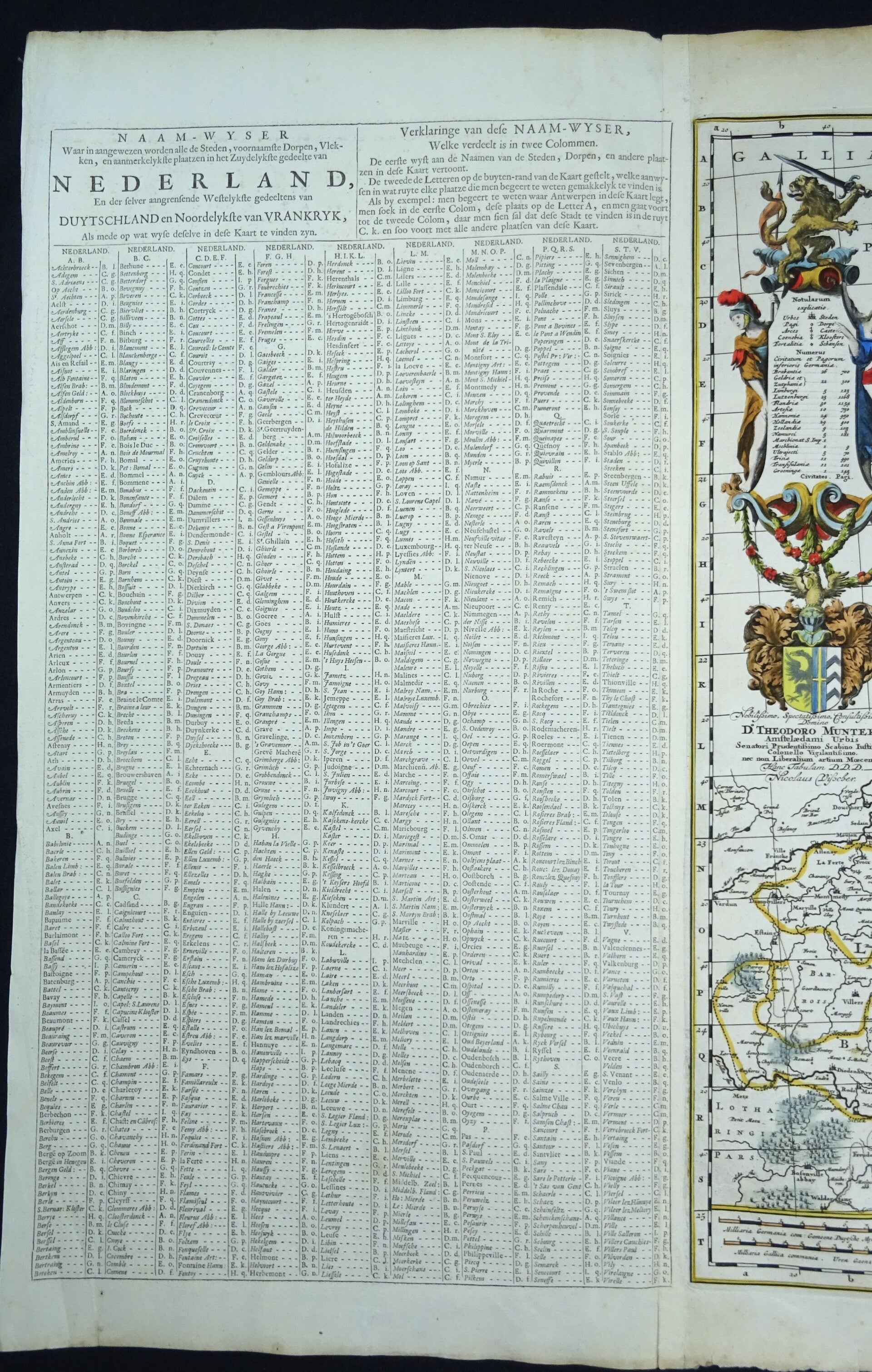
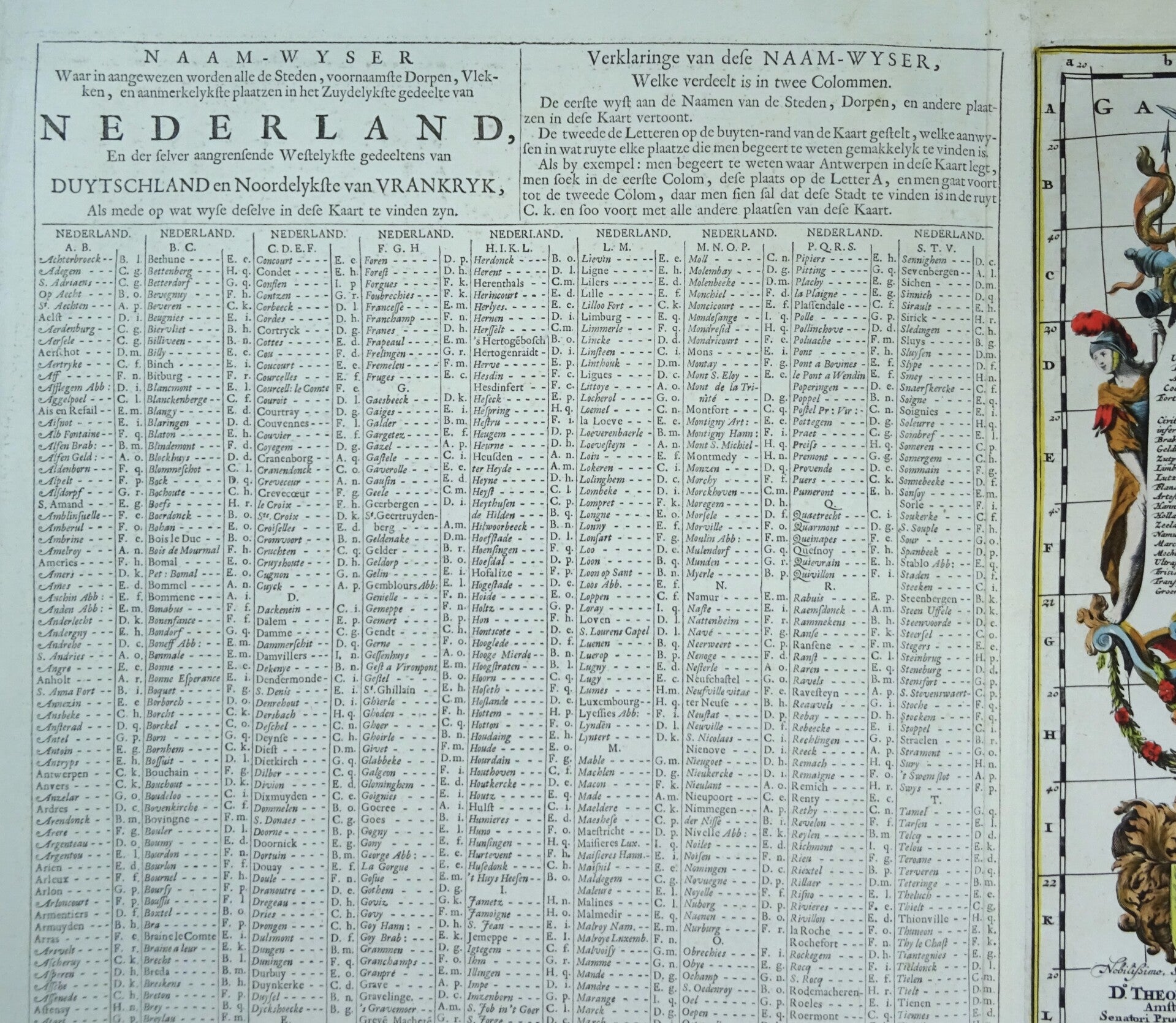
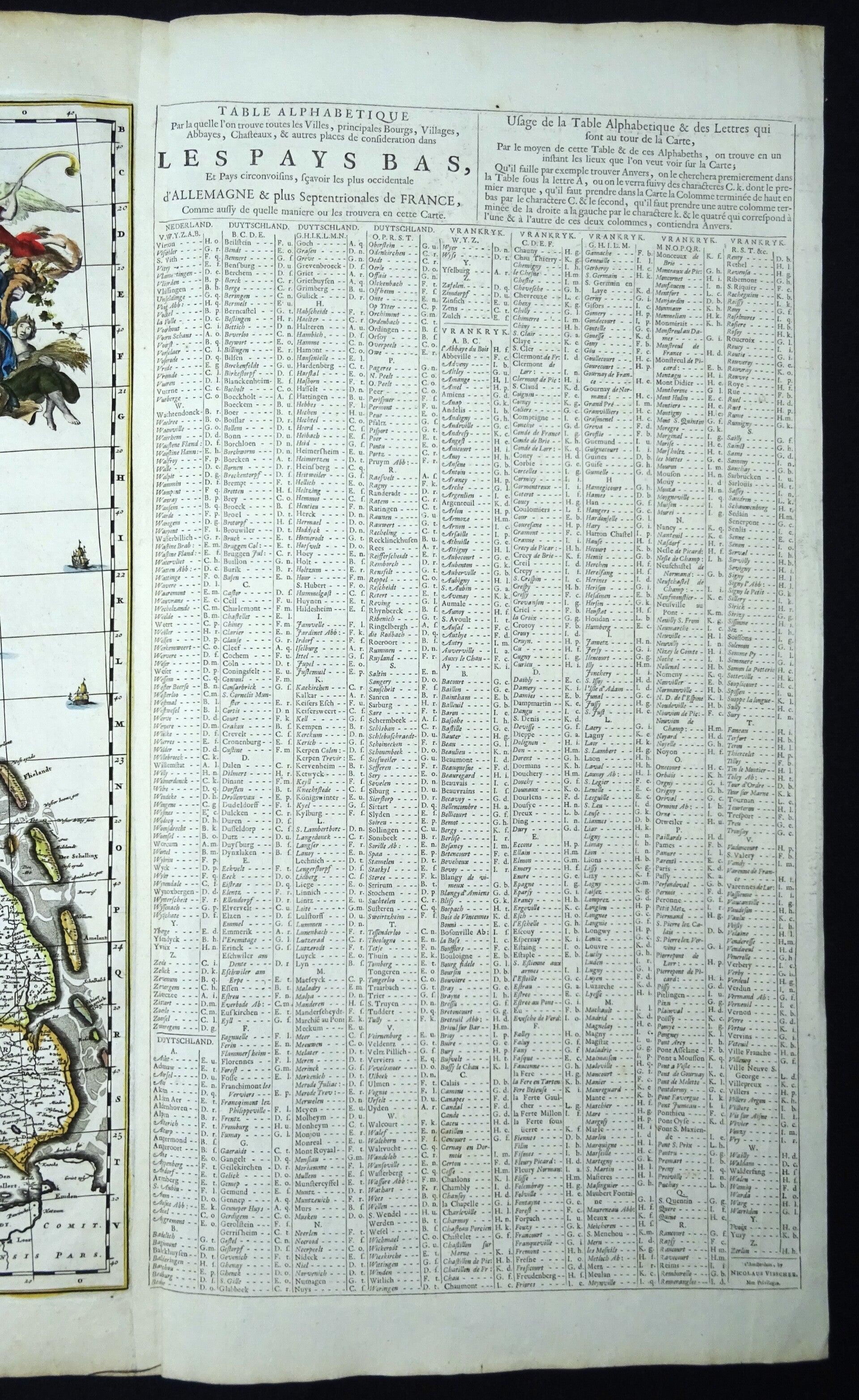
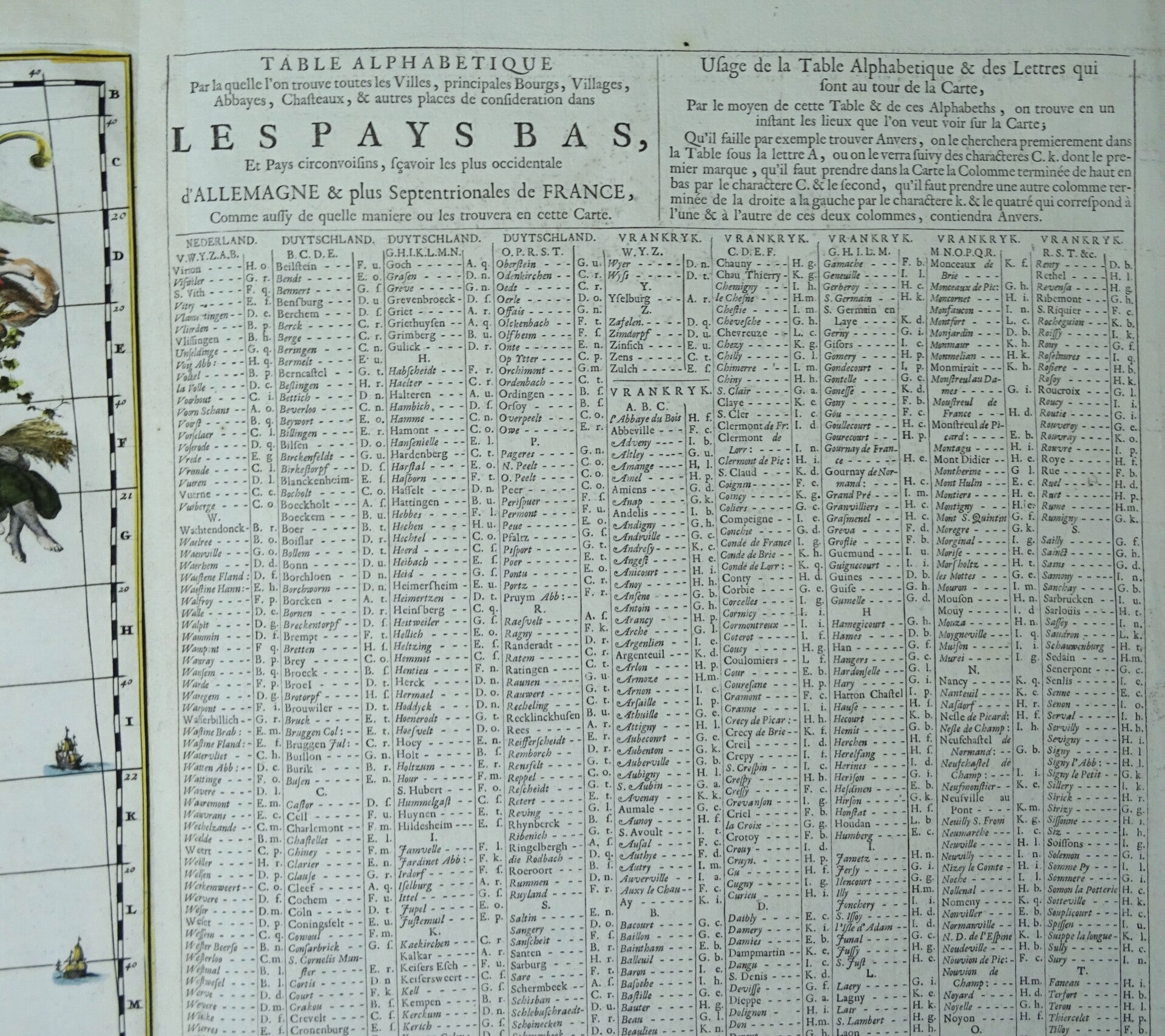
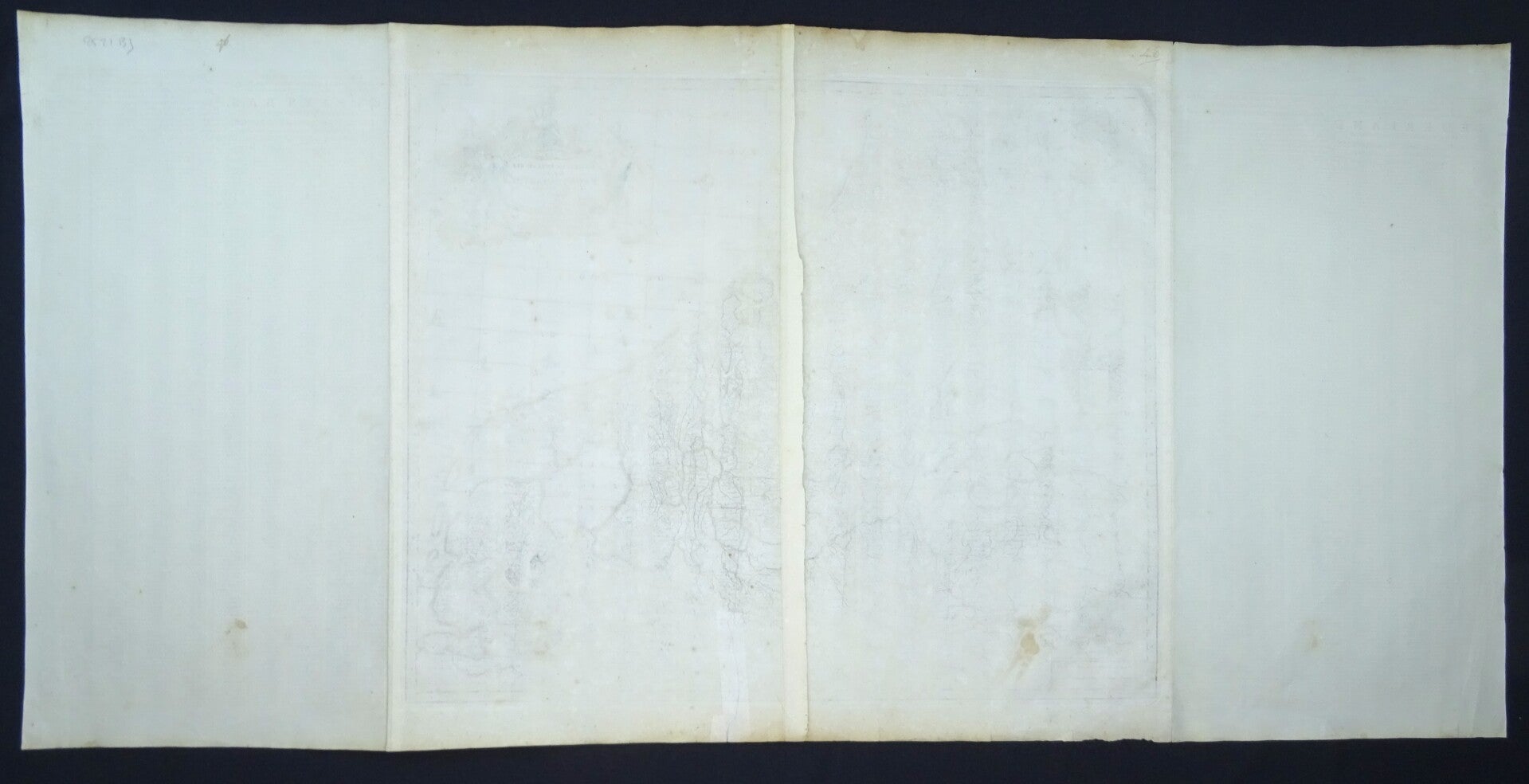
Very rare edition of the foliosized map of the Visscher map of the Low Countries (or 17 Provinces), covering modern day Belgium, Netherlands, Luxembourg and parts of France and Germany. Oriented with the north to the right. Decorative cartouche topped with a rampant lion with a sword. At the bottom of the cartouche there is the crest of Johan Munter. Munter was a wealthy merchant in Amsterdam whom held several posts of honour in Amsterdam. He became commissioner of the exchange bank, he was 'Schepen' [city councillor], was a member of the governing body of the V.O.C. and finally became major of the city.
The present example only ever appeared in an Abraham Wolfgang composite atlas. The first state of Visscher's map was of this map published in 1672. The map was copied to the smallest detail by Frederik de Wit, Justus Danckerts, Bormeester, Gerard van Schagen, David Funcke, Covens & Mortier and John Seller.
Very few copies known of this map with the extensive index on both sides, and even less in this very good condition. A collector´s item worth of framing.
Very good condition, some minor repairs in the margins and the folds, with minimal impact on the image. Thick paper, very clear print, wide margins. Folds as published. Reverse side blank.
Image (map) 46,5x56,5cm, printed area (including index) 46,5x109cm, sheet 54x111cm (!)