

Zaire, Congo, Angola, Gabon, Dapper/Van Meurs, 1668, Regna Congo et Angola
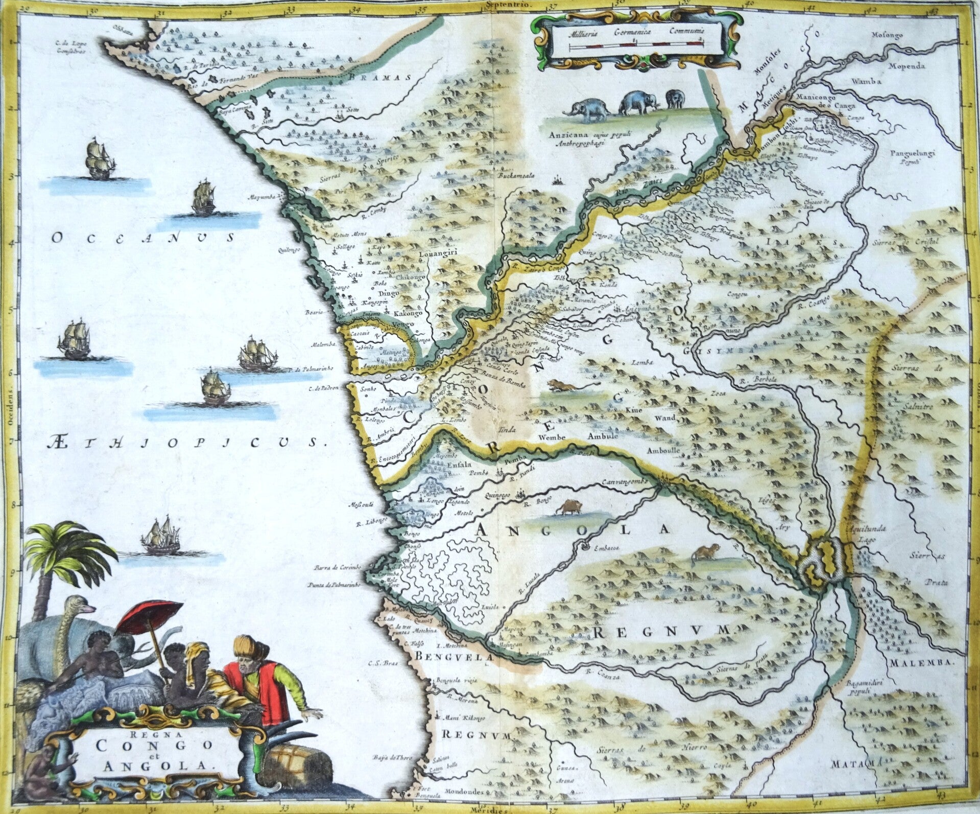
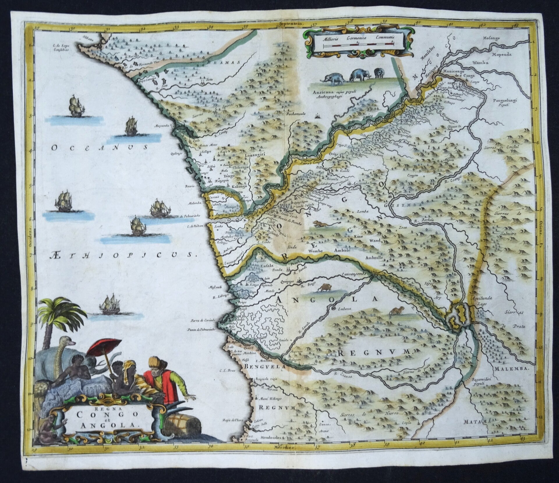
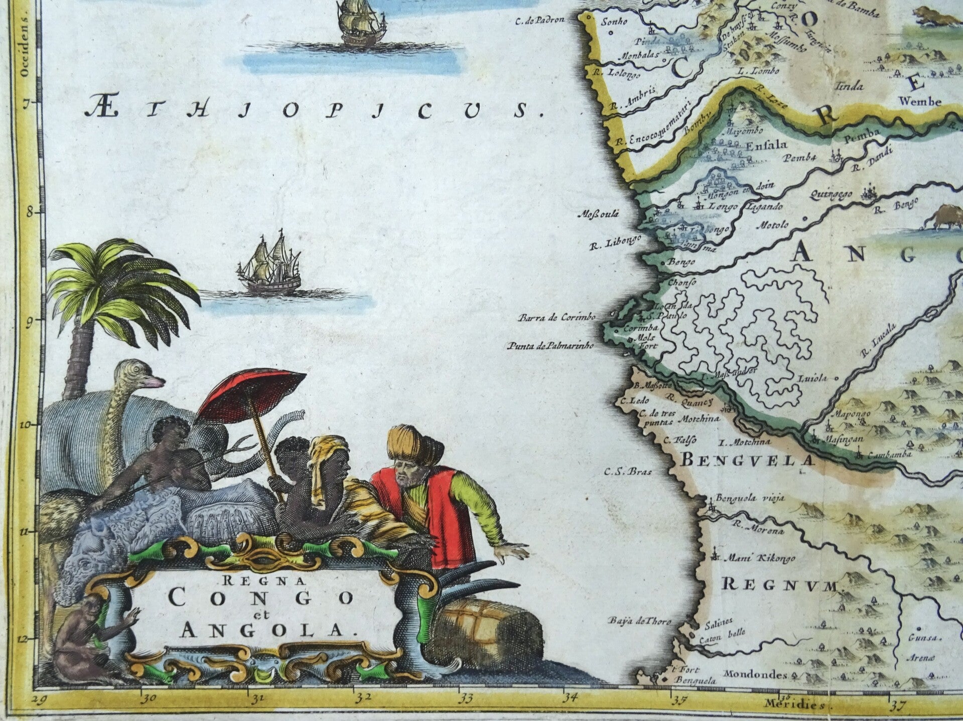
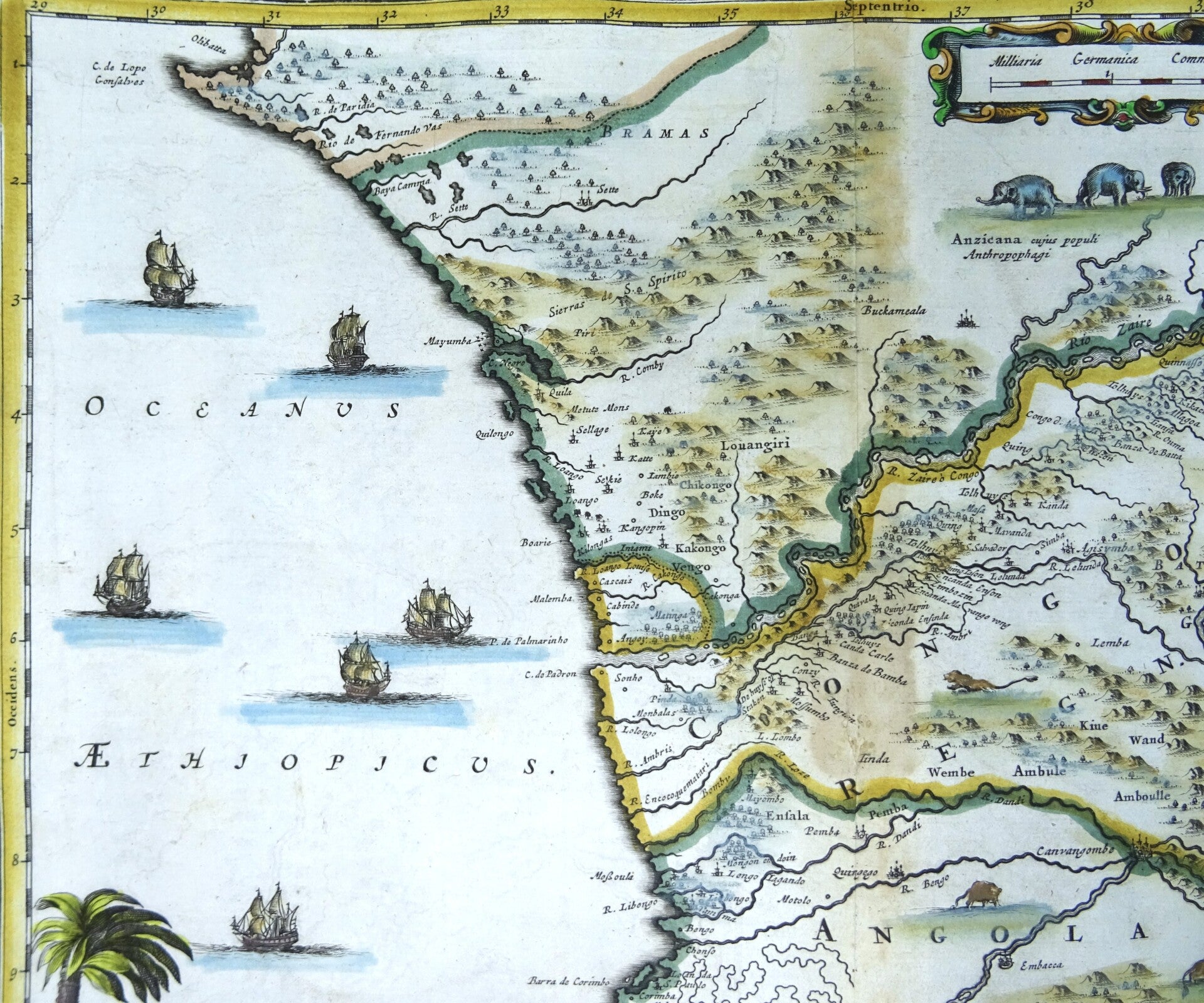
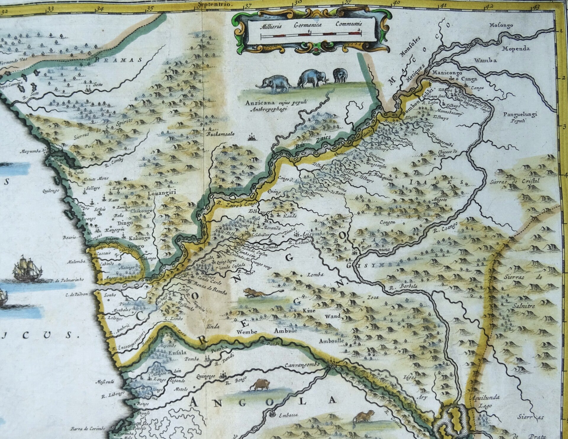
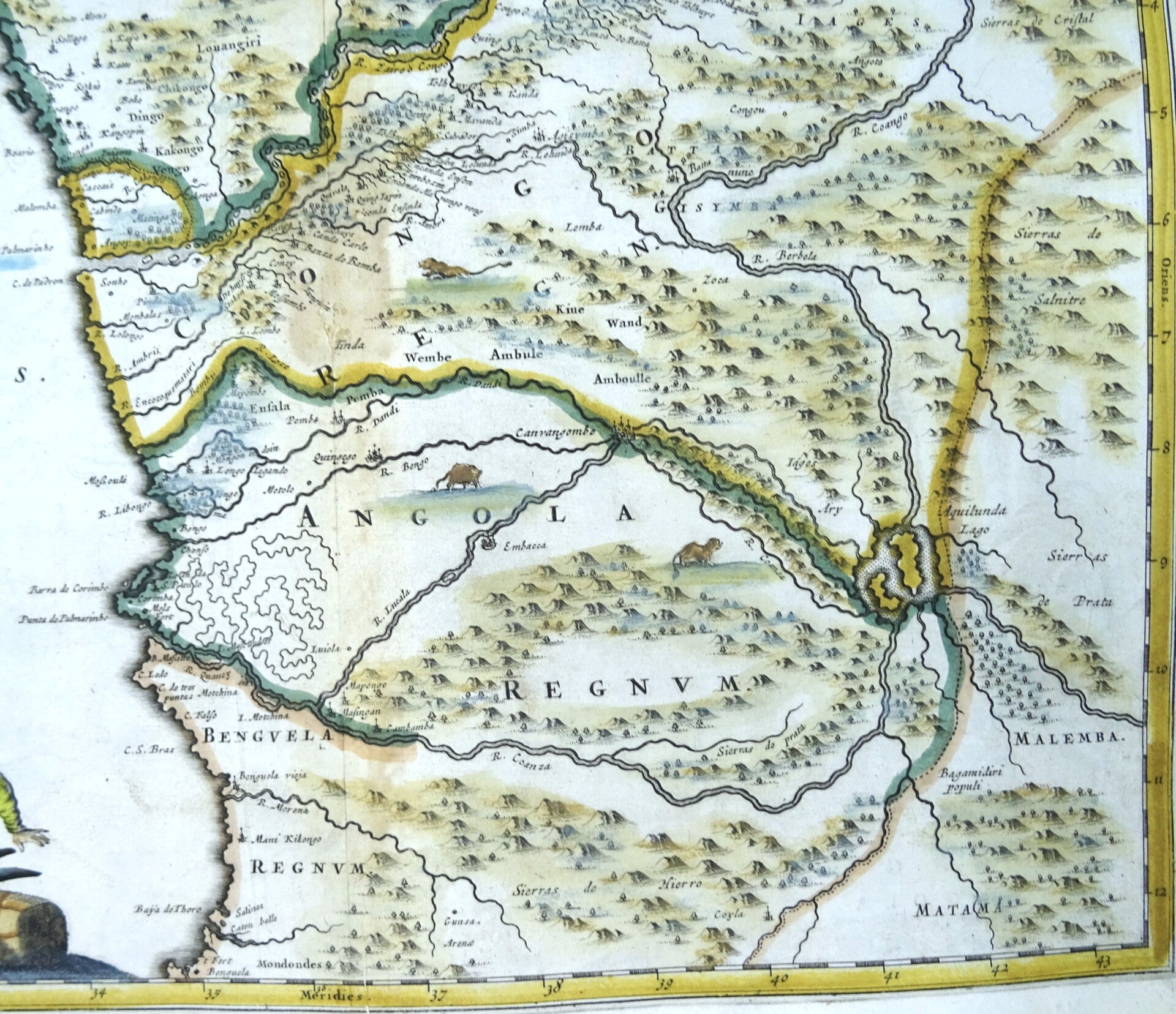
Lovely map covering the region of modern-day Gabon, Congo, Zaire and Angola. The map is based on Blaeu's map of 1662. It is embellished with six sailing ships, and wild animals roaming the interior. The large title cartouche includes several figures and animals. Published in the 1676 edition of Olfert Dapper´s "Naukeurige Beschrijvingen der Afrikaensche gewesten en Naukeurige beschrijvinge der Afrikaensche Eylanden", popularly known as ´Description of Africa´.
Olfert Dapper’s ‘Description of Africa’ was an ethnographic book which offered a detailed description of the parts of Africa known to Europeans in the mid-seventeenth century. Despite the work being regarded as one of the most important and detailed seventeenth-century publications on Africa, Dapper himself never actually visited the continent. Instead, he relied on the reports of Jesuit missionaries and Dutch explorers. The ‘Description of Africa’ was first published in 1668 by Jacob van Meurs in Amsterdam
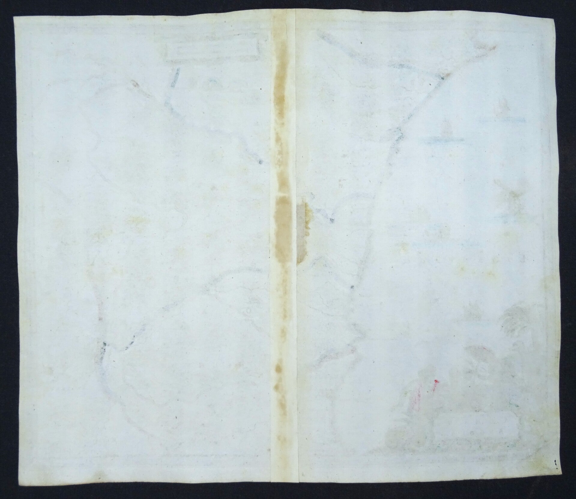
Good condition. Some age browning in the area of the central fold.
Image 28,5x34,5cm, page 31,5x37,5cm