

Germany, Mecklenburg-Vorpommern, Lübeck, Rostock, Rügen... F. de Wit, 1680, Ducatus Meklenburgicus...
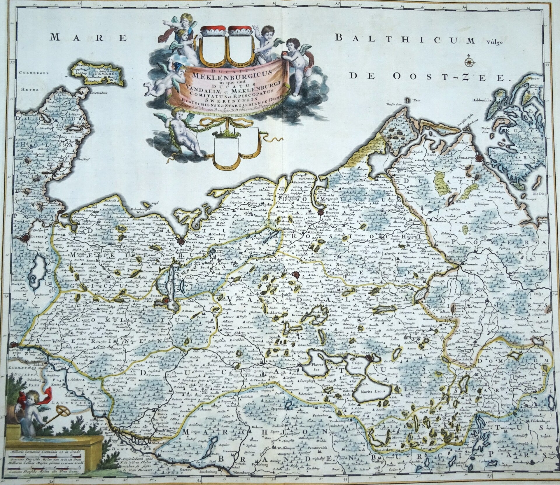
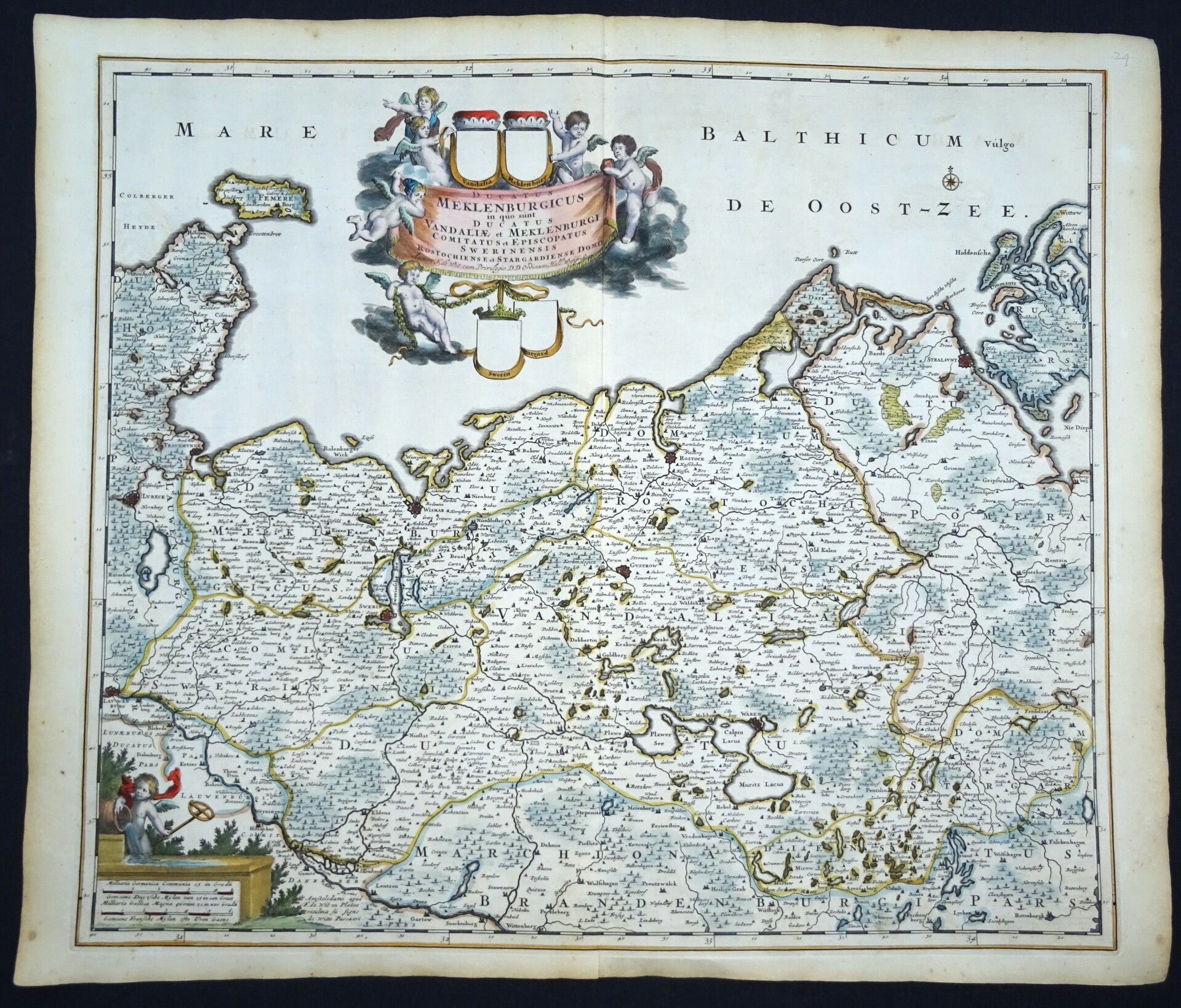
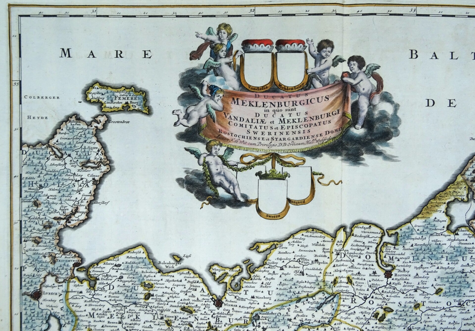
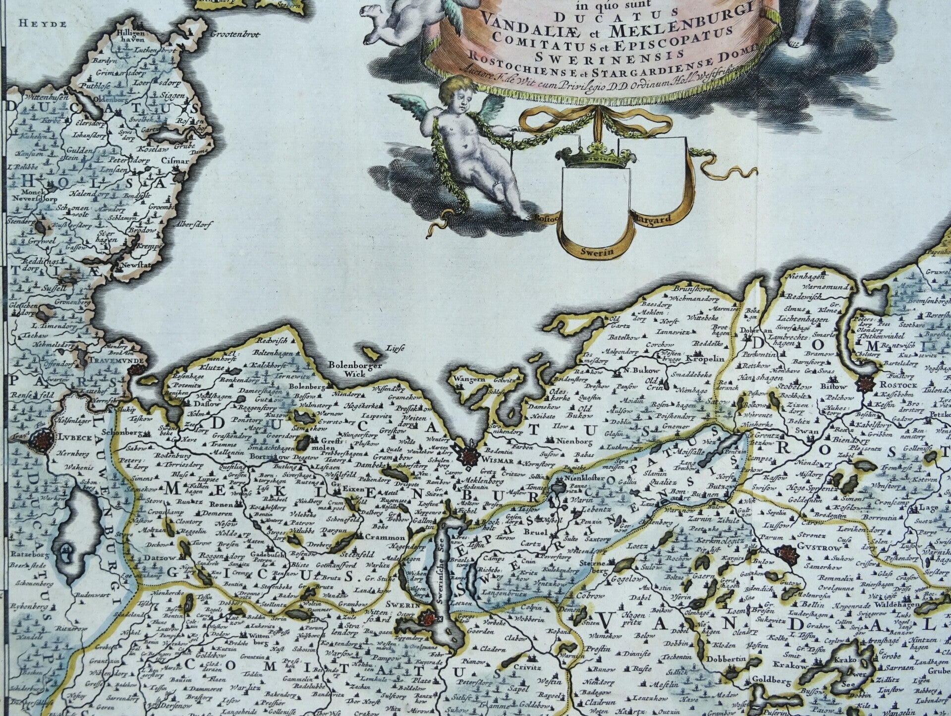
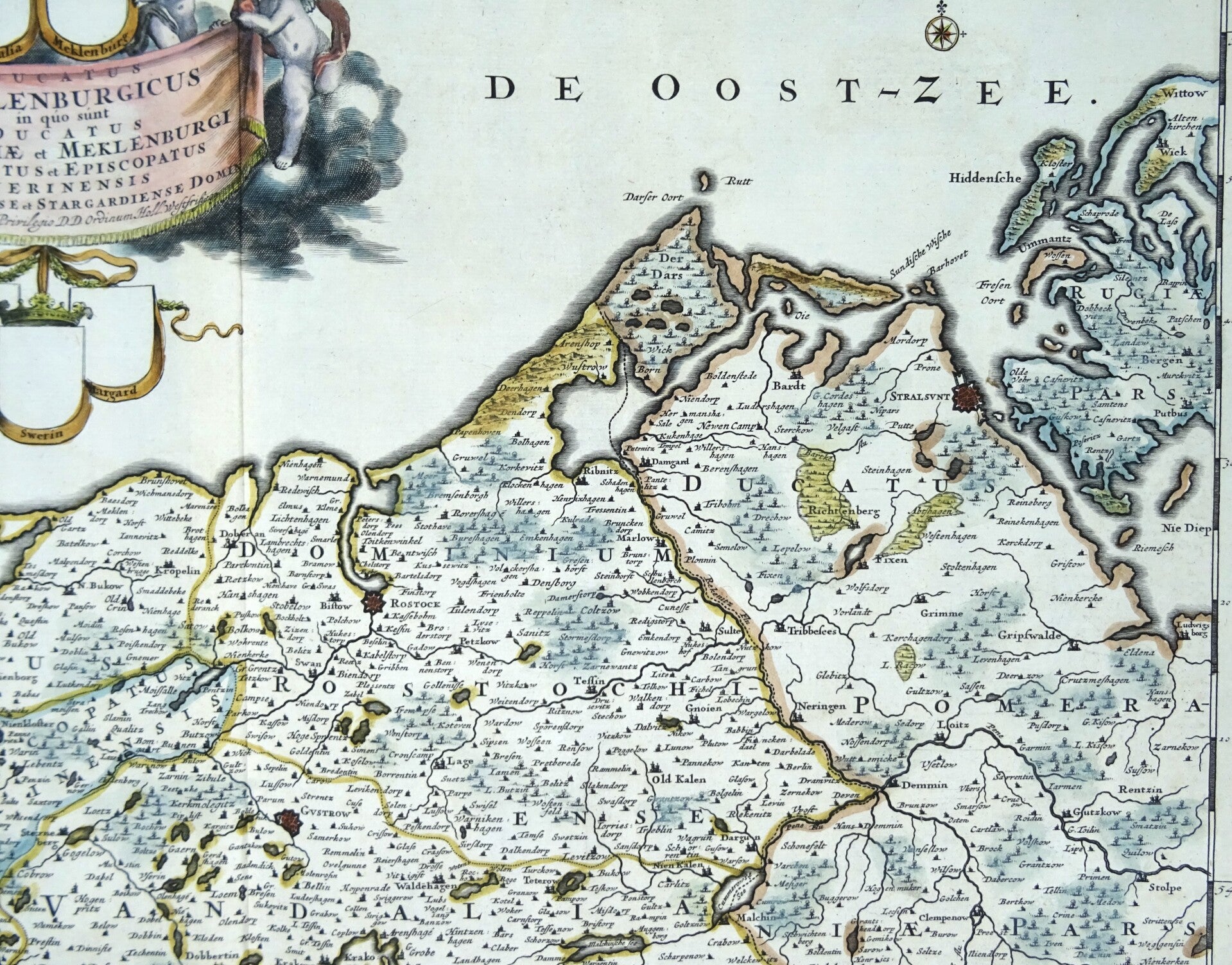
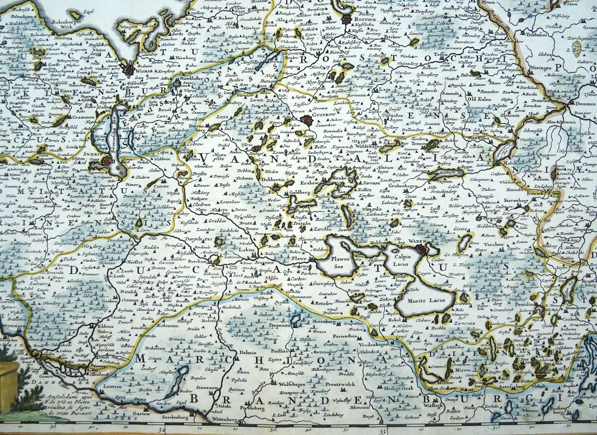
Large folio sized map by Frederick de Wit of a part of northeastern Germany, focusing on Mecklenburg-Vorpommern. Showing the Baltic coast from Holstein with Fehmarn, Travemünde and Lübeck via Wismar and Rostock to Rügen. In the south the Mecklenburg Lake District with the Müritz. At the top a beautiful title cartouche.
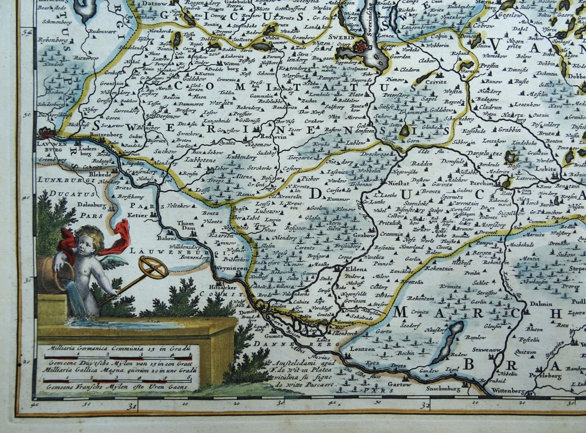
In addition to the cities and natural landscapes, the map also reveals the political boundaries. The division of the region into smaller administrative units, with the coats of arms shown in the elaborate cartouche in the left bottom corner, is a compelling feature that underscores the political complexity of the era.
The map is made by Frederik de Wit around 1680 and published in Amsterdam.
Ref.: Carhart de Wit (2016) - p. 273, 58.1 - First state (of five)
Excellent condition
Image 48,5x57,5cm, sheet 54x64cm