

Japan, Nagasaki, Deshima De Charlevoix, 1736, Plan du Port et de la Ville de Nangasaki
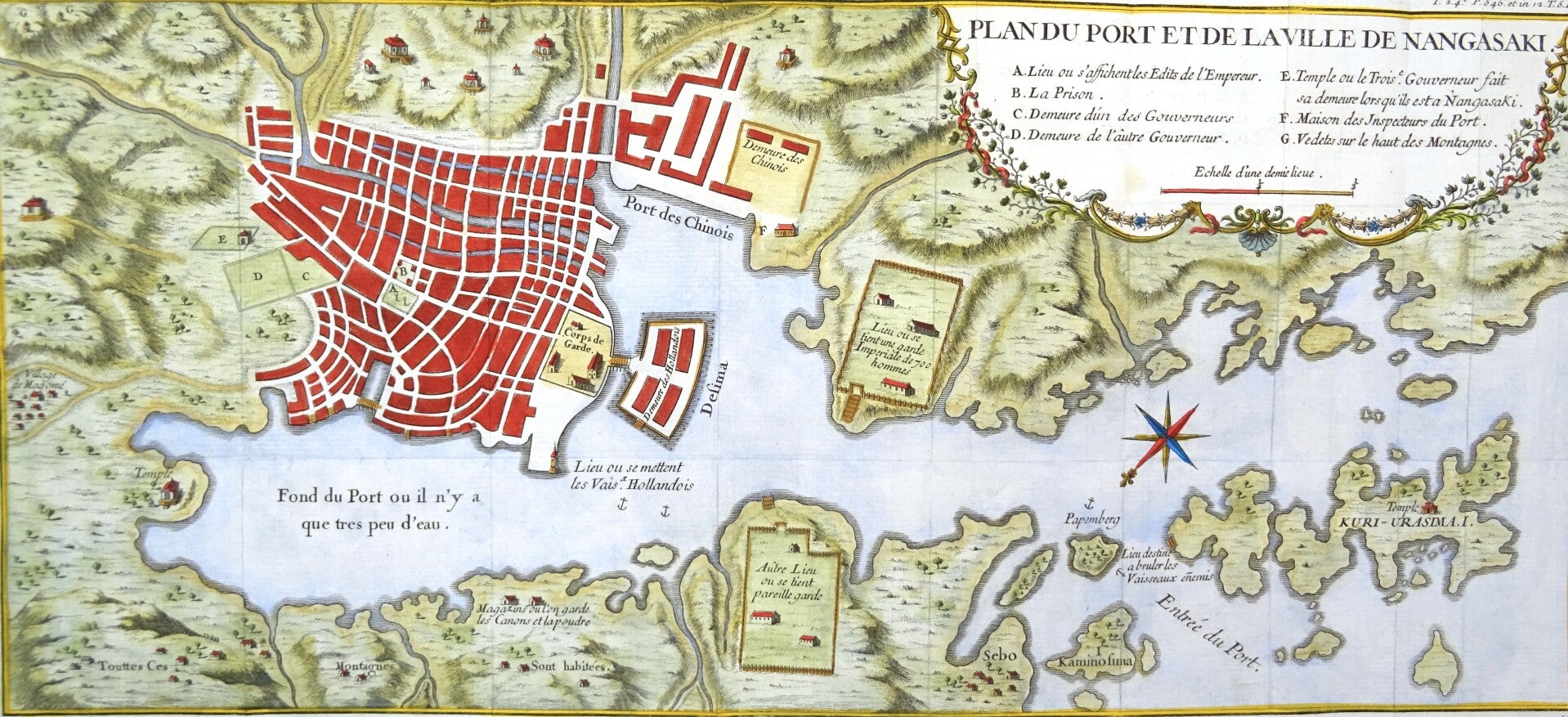
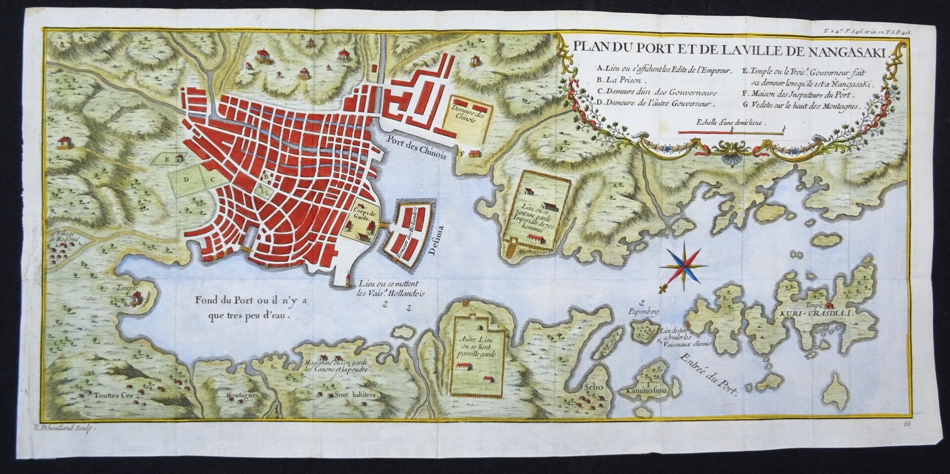
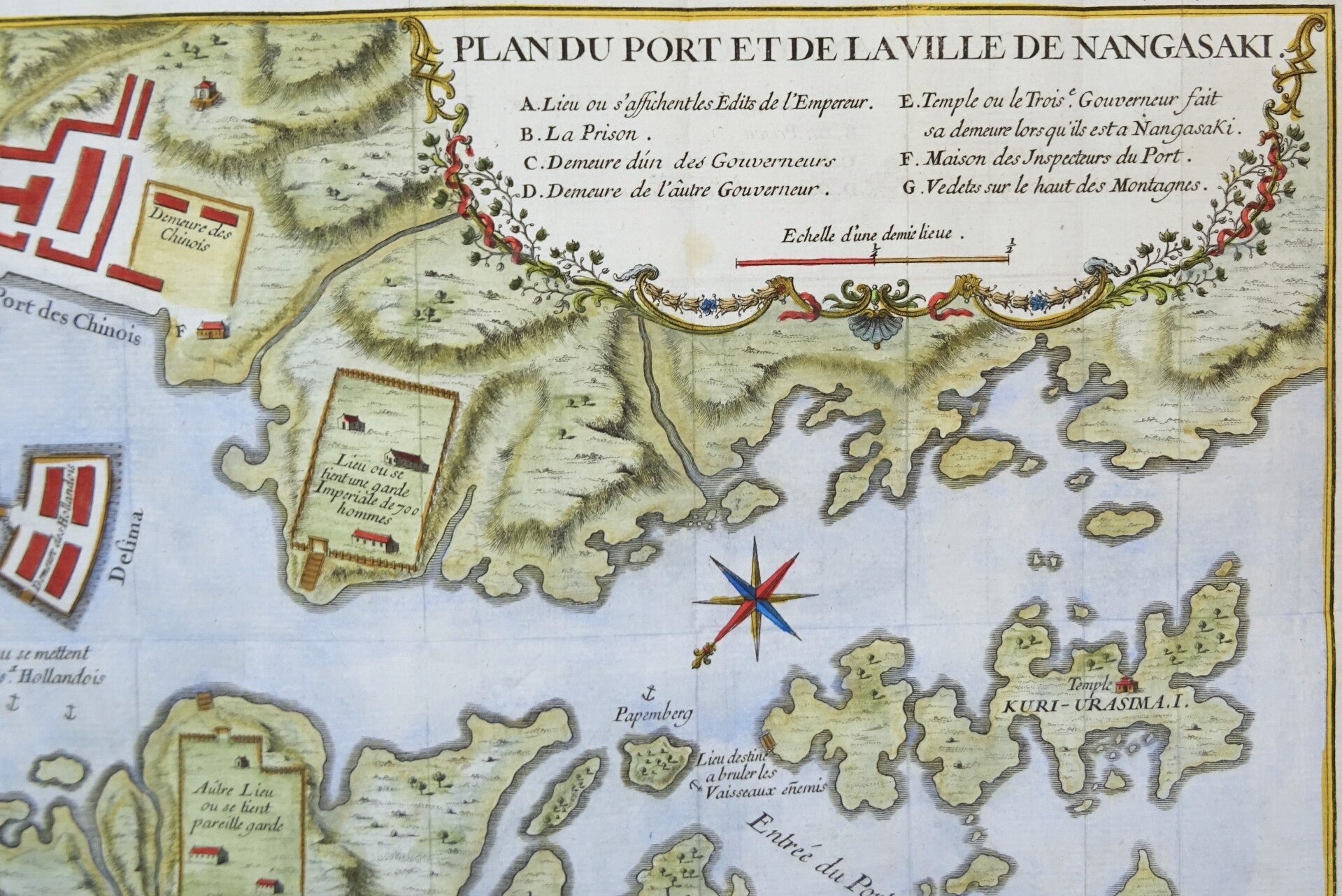
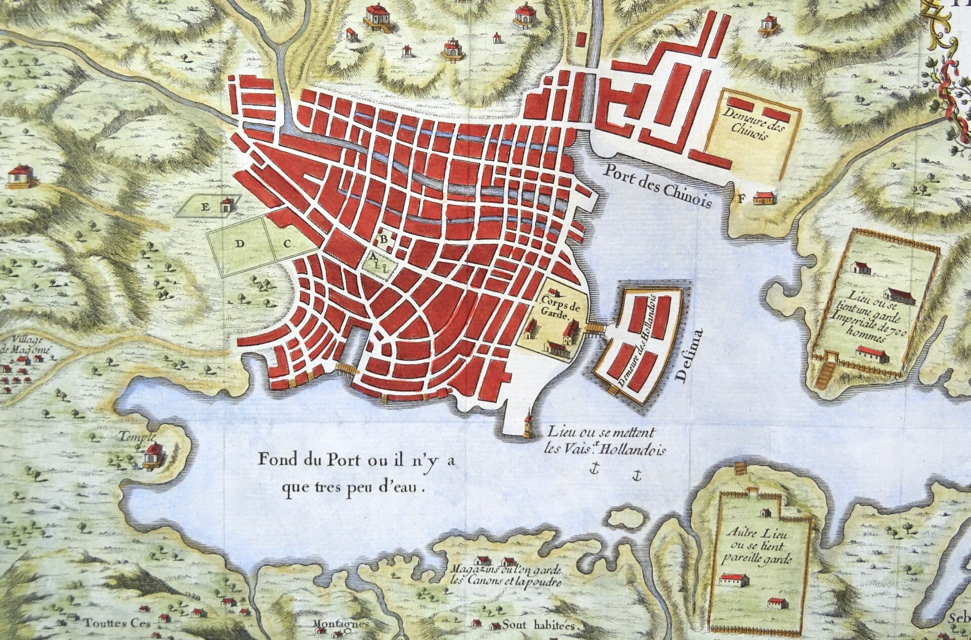
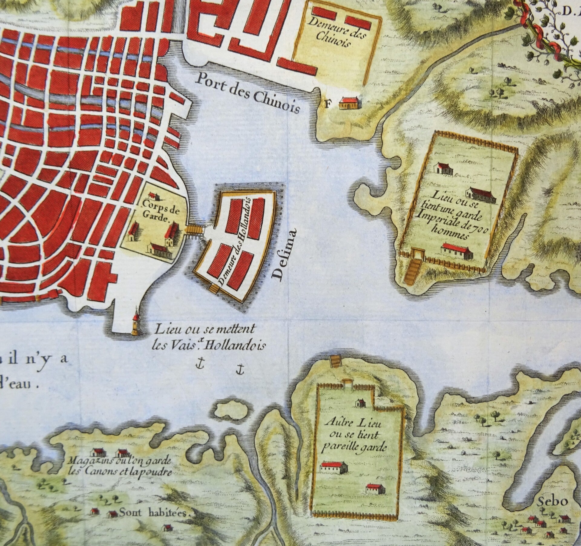
A detailed plan of the city of Nangaski (Nagasaki) including the Emperor’s Palace, Governor’s houses, temples, the house of the Port inspector and the Chinese quarter. The port indicates an area where Dutch ships from the East Indies Company (VOC) were docked.
The artificial island of Decima (or Deshima) that served as only point of contact between Japan and the rest of the world for around 200 years. It was a tradepost for the Dutch East Indies Company (VOC). The Dutch were not allowed to leave the island outside of a yearly visit to the Emperor.
Published in ´Histoire et description générale du Japon...´, P.F.X. De Charlevoix, Paris 1736, Gandouin et al.
This is the earlier, slightly larger and more detailed version of this map, NOT the version by Bellin/Van der Schley that would only be published 20 years later.
Very good condition. Some small repairs in the margins, without affecting the image. Printed on two plates that are joined (as published). Horizontal and vertical folds (as published). Clear print. Reverse side blank. The map will be shipped folded on the original folds to avoid damage during transport.
20 x 45cm (image) 23 x 47cm (page)