

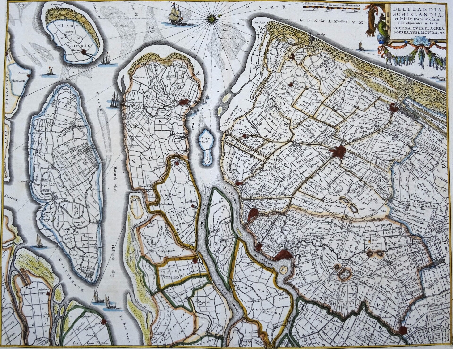
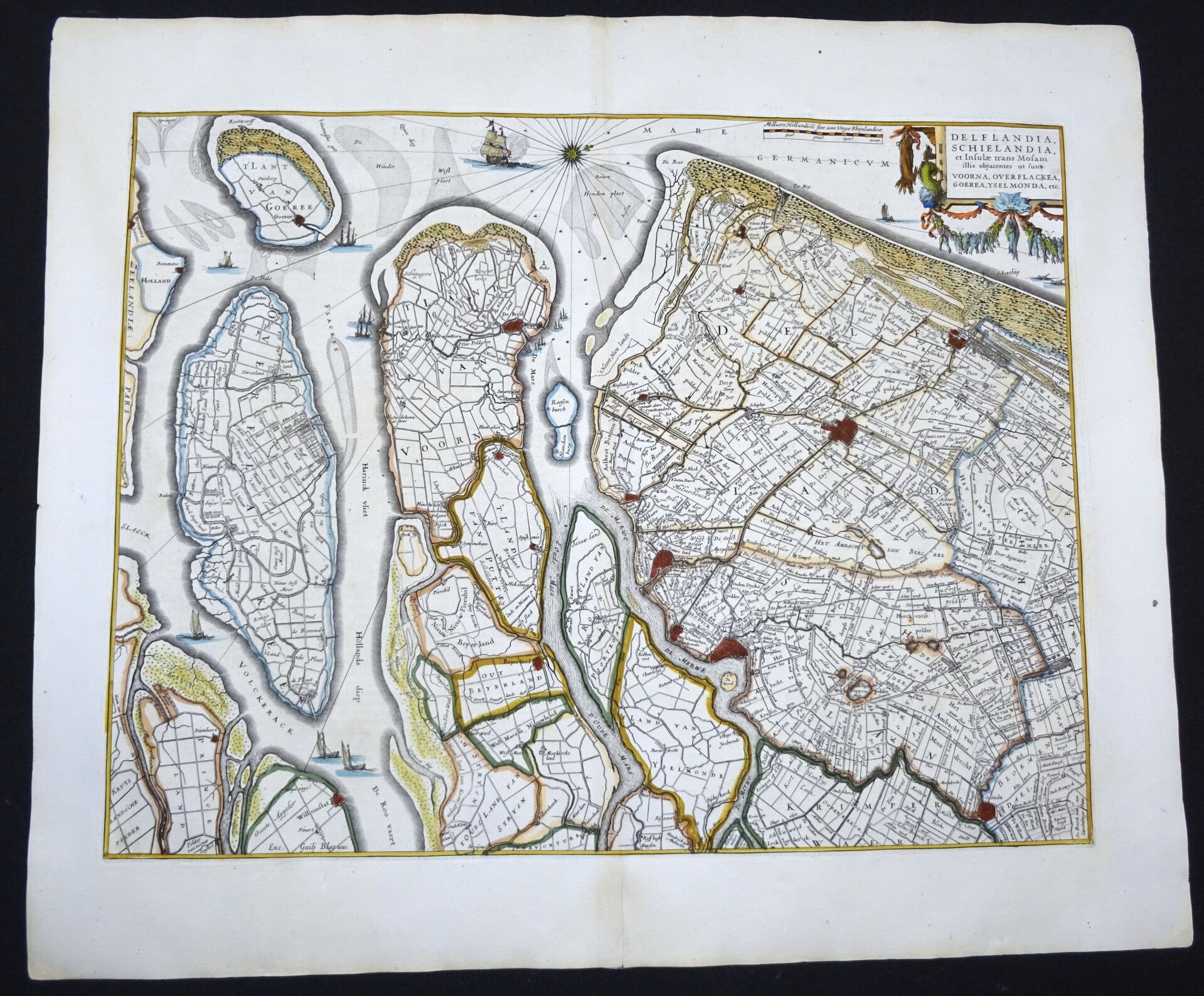
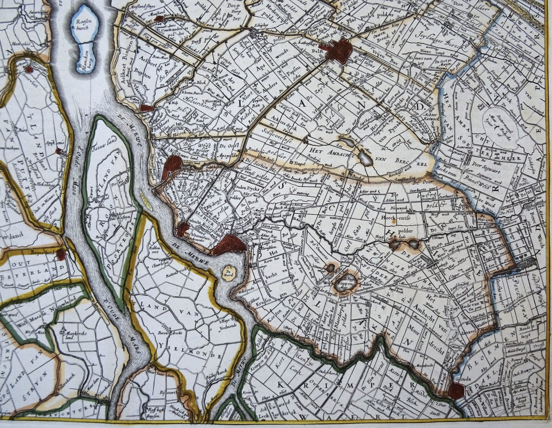
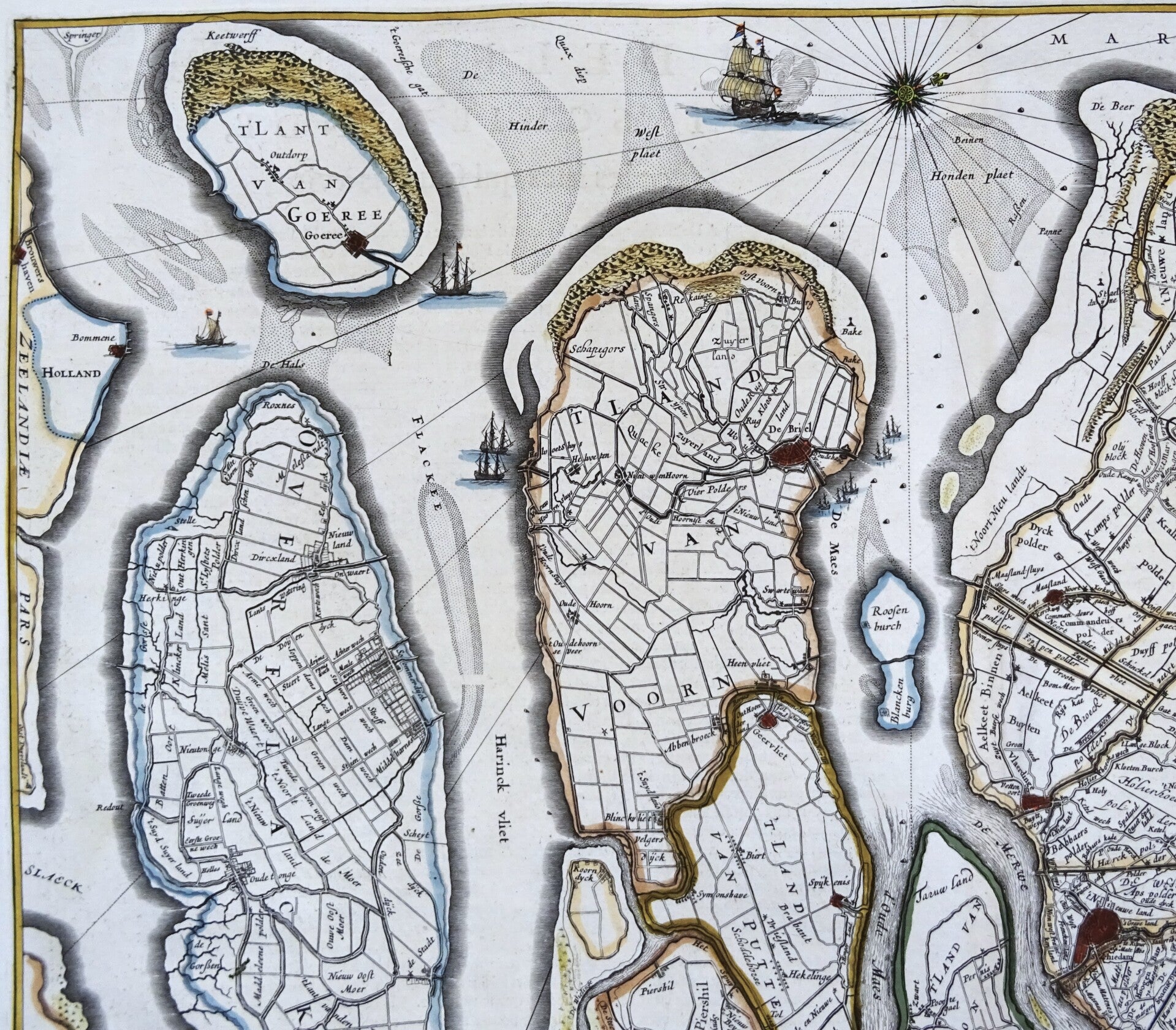
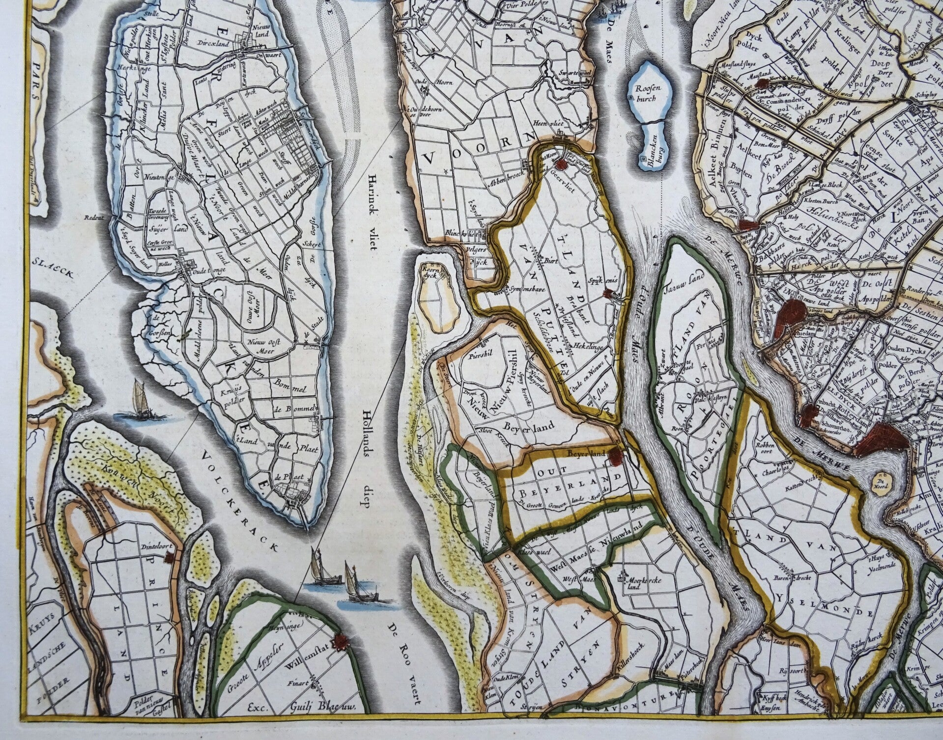
Netherlands, South-Holland, Rotterdam, The Hague... W. Blaeu, 1635, Delflandia, Schielandia, et Insulae trans Mosamillis ...
Sold out
€399.00
Item number:
25 22 AH
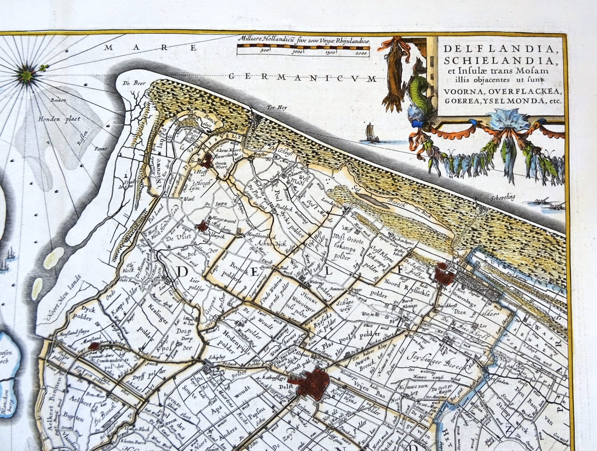
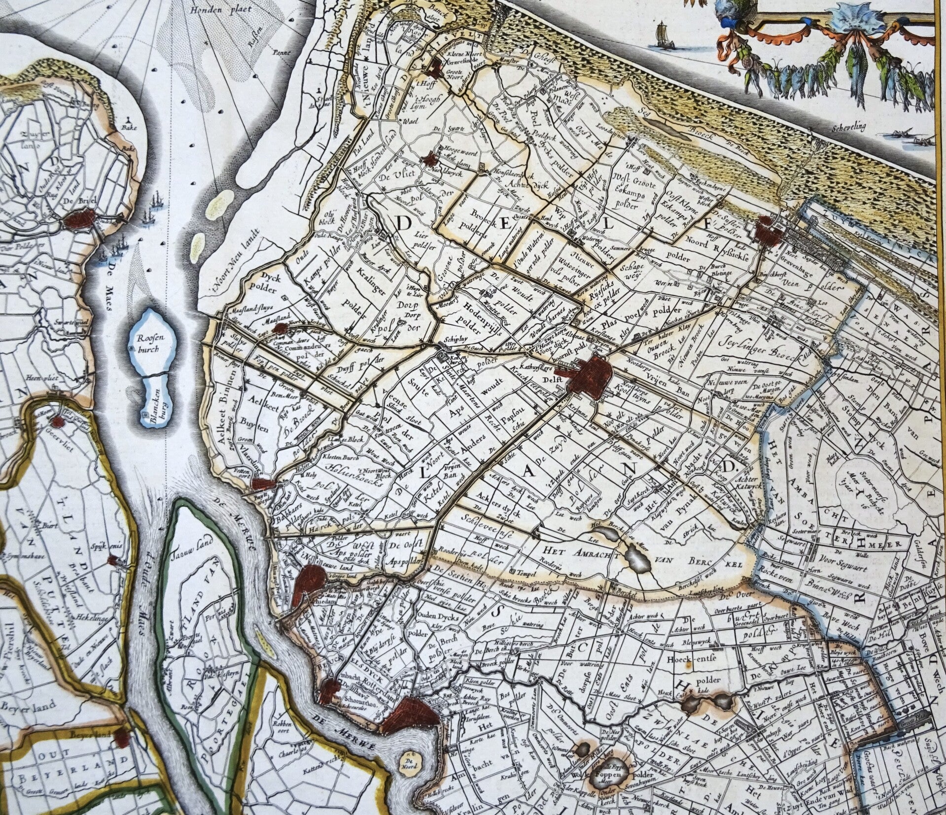
The famous Blaeu map of the Southern Part of Holland (modern day South-Holland or Zuidholland). Oriented w¡th the North to the right, showing the area between Zeeland (on the left) and The Hague and Gouda to the right. In the center the area of Rotterdam and the river the Nieuwe Maas towards the North Sea. Decorated with title cartouche, sail ships and a compass rose.
This early edition of this map was published in the first French edition of "Atlas Novus," the atlas by William Blaeu, Amsterdam, 1635.
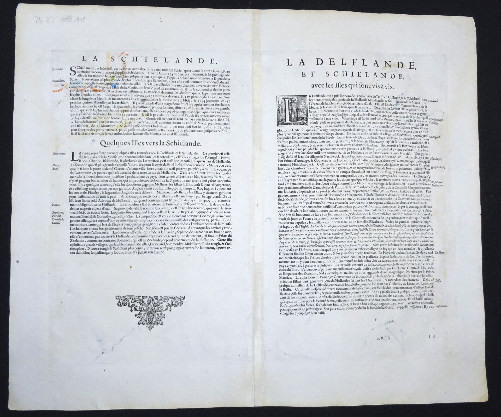
Very good condition. Thick paper, clear print and wide margins. Reverse side text in French
Image 38x49,5cm, sheet 50x58cm