

Brazil, Pernambuco, Paraíbo, Cabo S. Agostinho, Janssonius, 1657, Capitaniarum de Phernambuca, Itamaraca, Paraiba, et Pio Grande Noua delineatio.
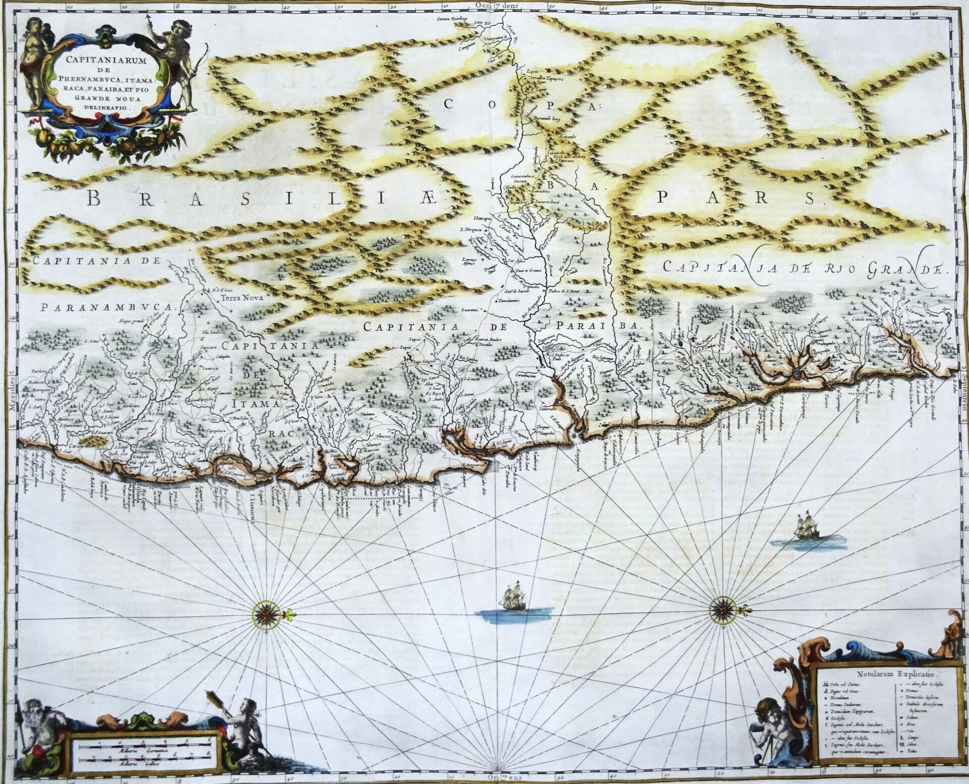
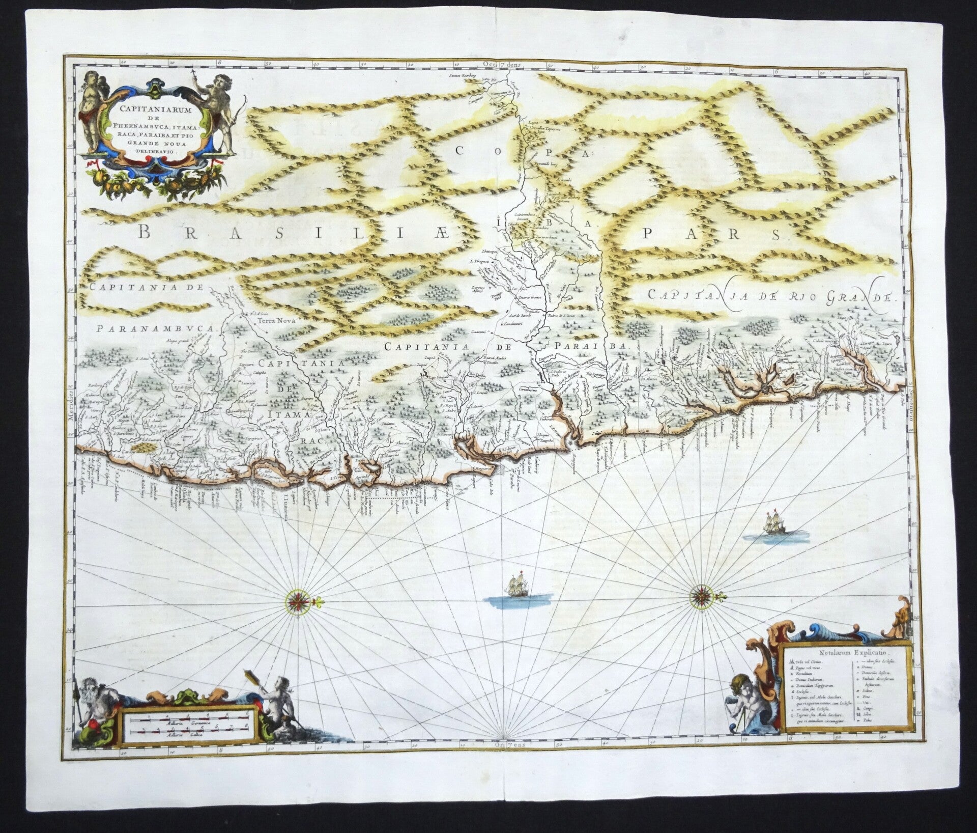
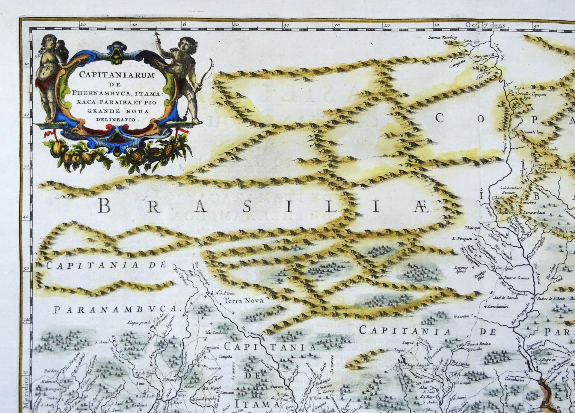
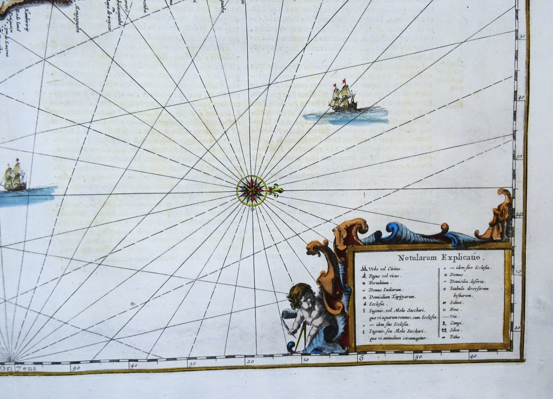
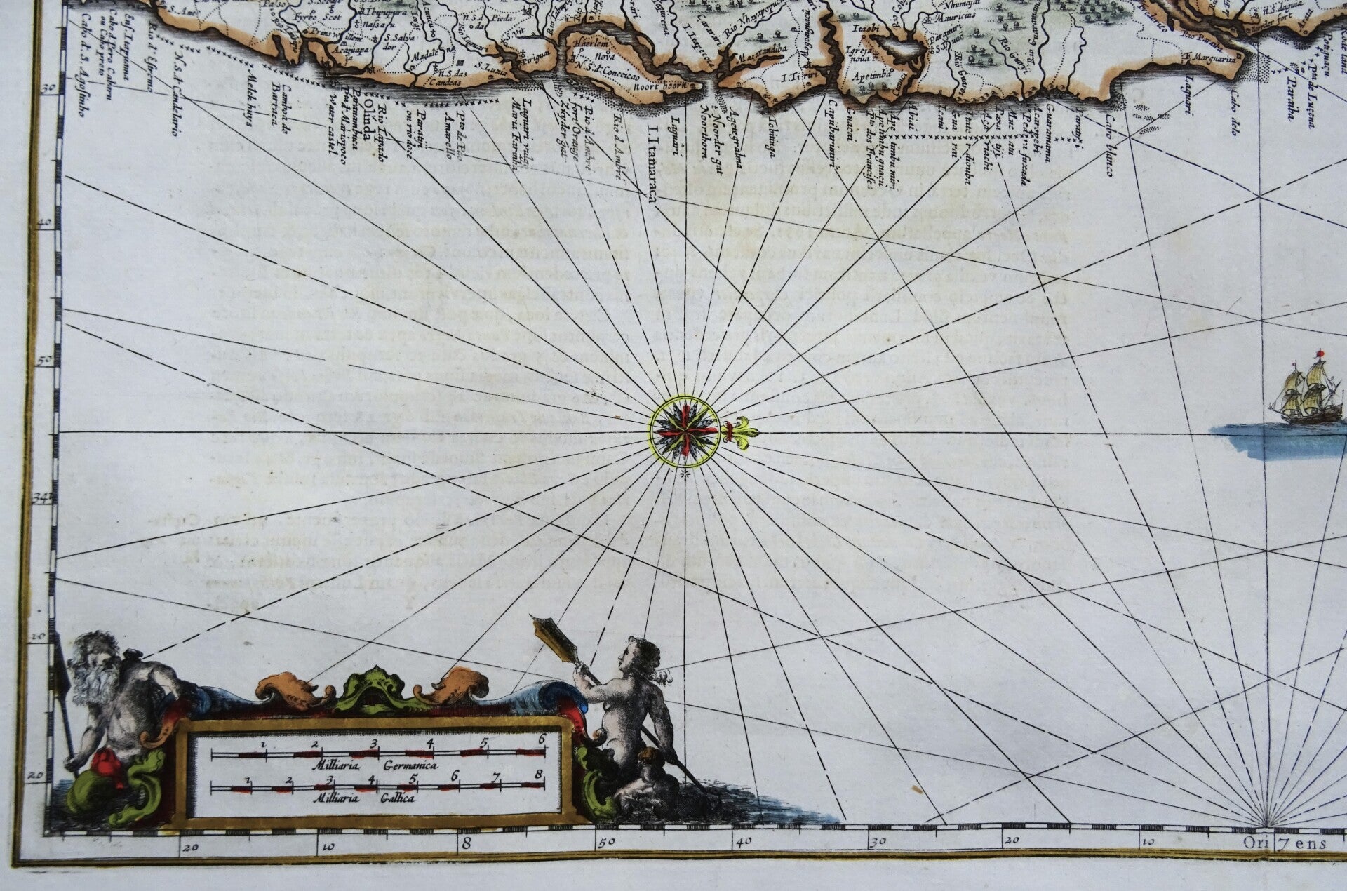
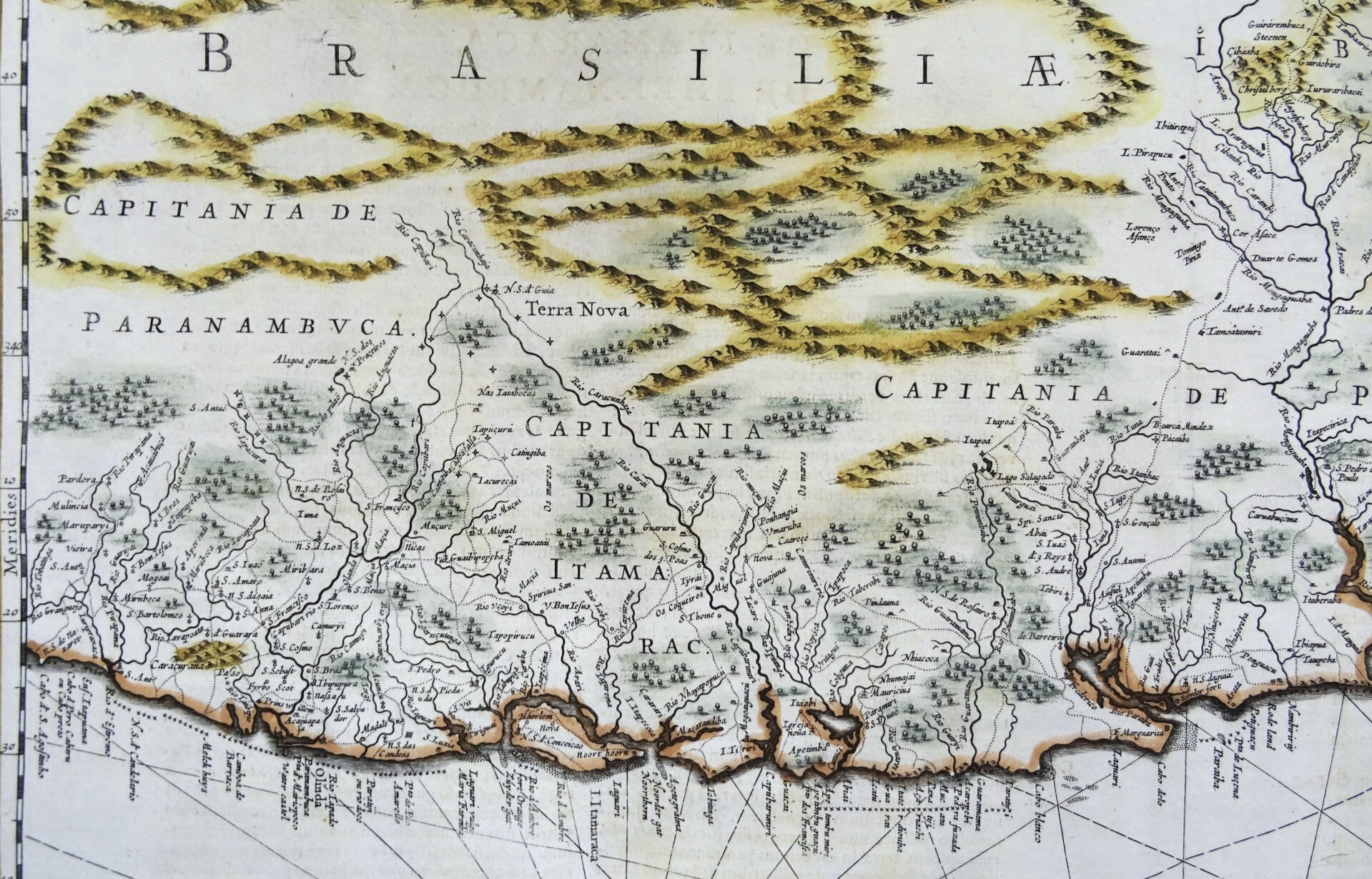
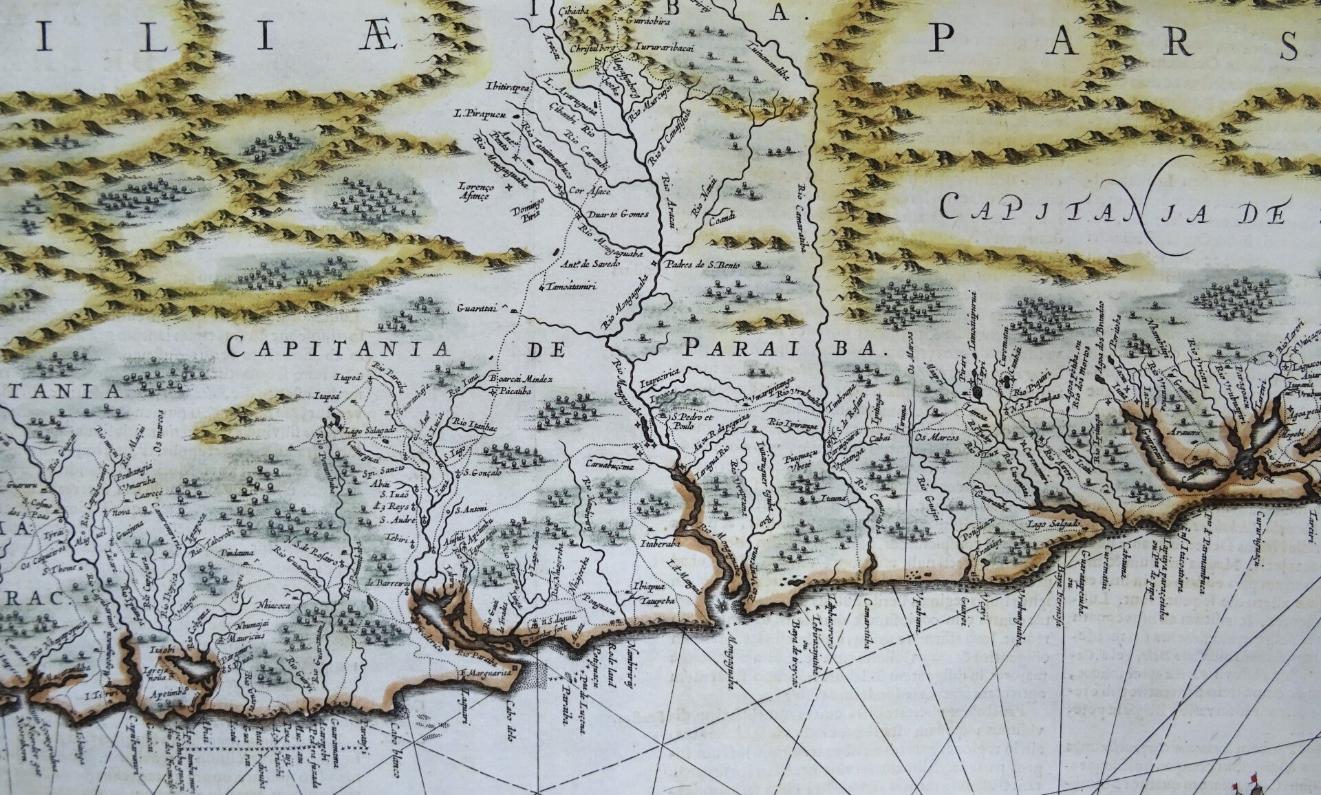
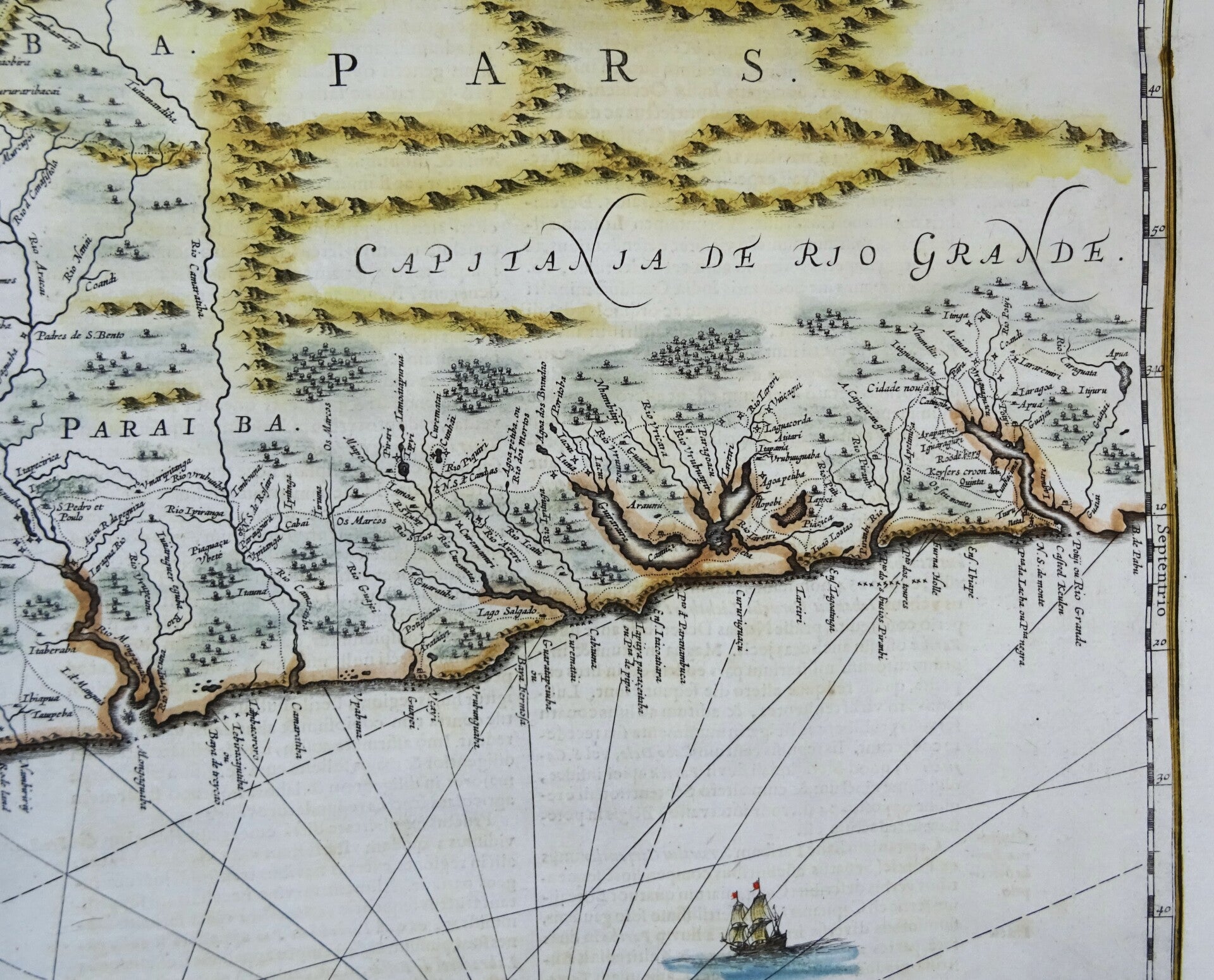
Large folio sized rare 17th century map of part of the Brazilian coast in the North East, orientated to the west. The map appeared in Volume 5 of Jansson's Atlas Novus, under the separate title Atlas Maritimus.
Map orientated on the west. Extending north to south from the Rio Araguaia to Cabo de Santo Agostinho, Brazil. Scale: ca. 1:500.000.
Decorated with a fine decorative cartouche, sailing ships, compass rose and rhumb lines. Jansson's Sea Atlas was the first of the mid-17th Century Dutch Sea Atlases and was followed shortly thereafter by separate atlases of sea charts by Jacobsz, Lootsman, Theunisz, Goos, Doncker, Van Keulen and a number of other specialty Dutch chart makers in the second half of the 17th Century.
Because of the importance and expense associated with Jansson's later atlases, the maps from the Atlas Maritimus are relatively scarce on the market and are highly collected as the first obtainable Dutch Sea Charts of many regions around the world.
Published in 1657 in Amsterdam by J. Janssonius in ´Atlantis maioris quinta pars, orbem maritimum... editio novissima. Amstelodami: apud Ioannem Ianssonium, 1657´
Ref: Van der Krogt (Atlantes) #1:405.
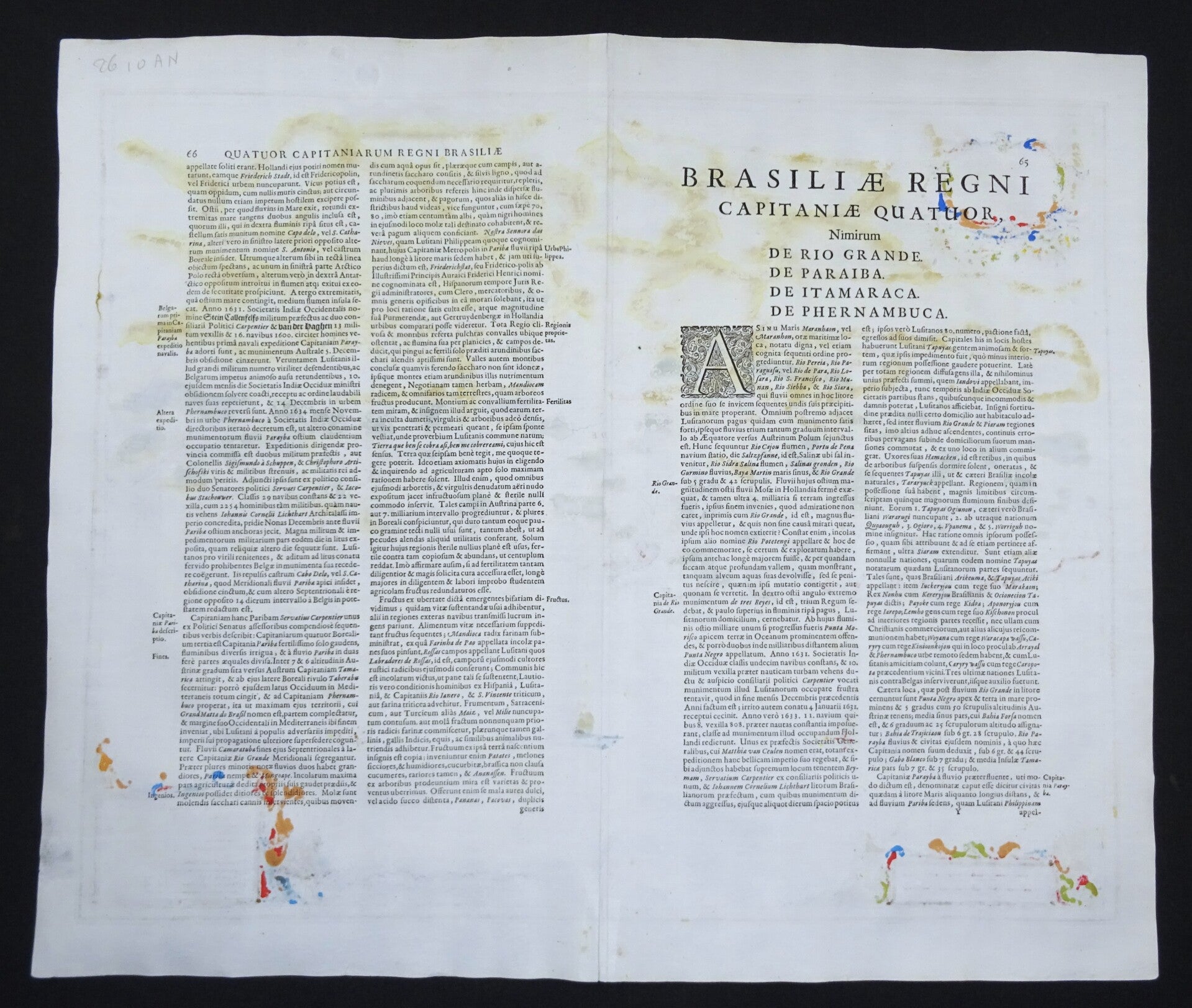
Very good condition. Clear print, strong paper. Reverse side text in Latin. Small repairs in the margins (area of the central fold), not affecting the image.
Image 44x54,5cm, sheet 51,5x60cm