

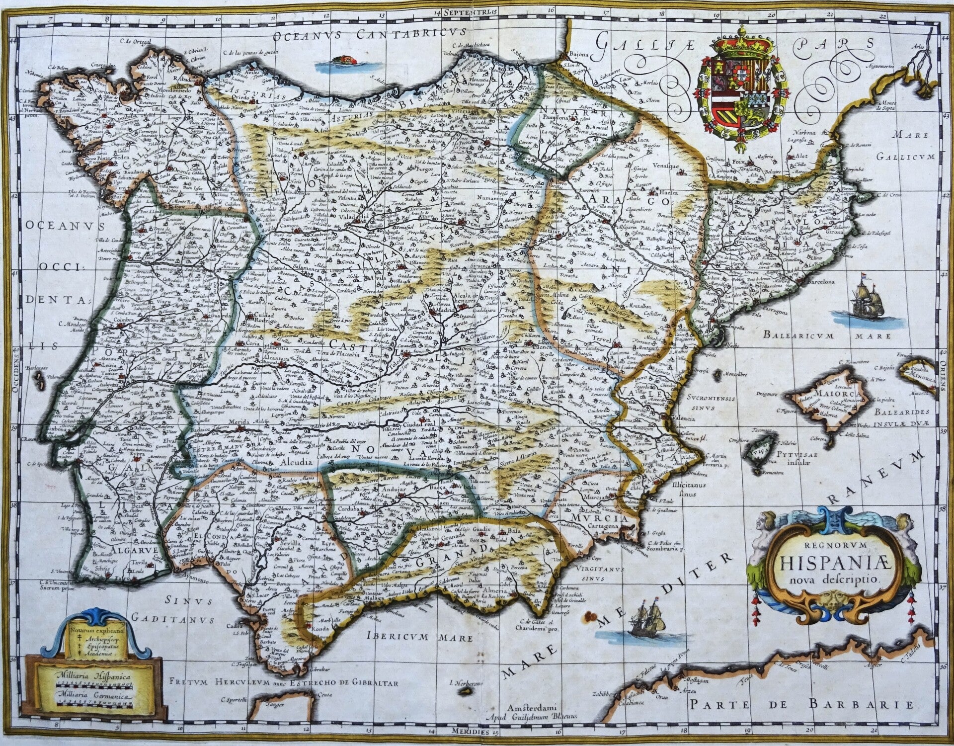
España, Portugal, W. Blaeu, 1635, Regnorum Hispaniae nova descriptio
€449.00
Item number:
25 22 AI
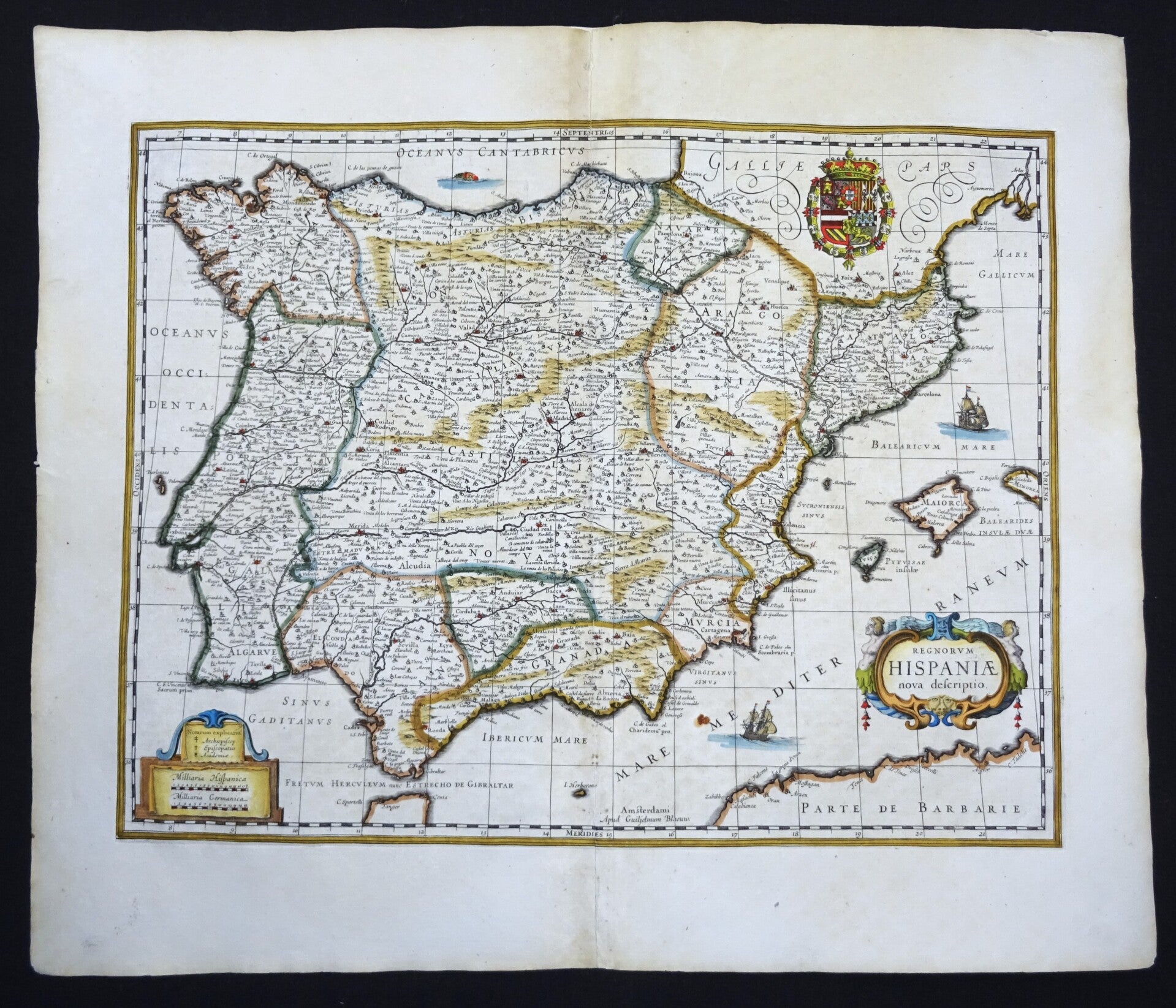
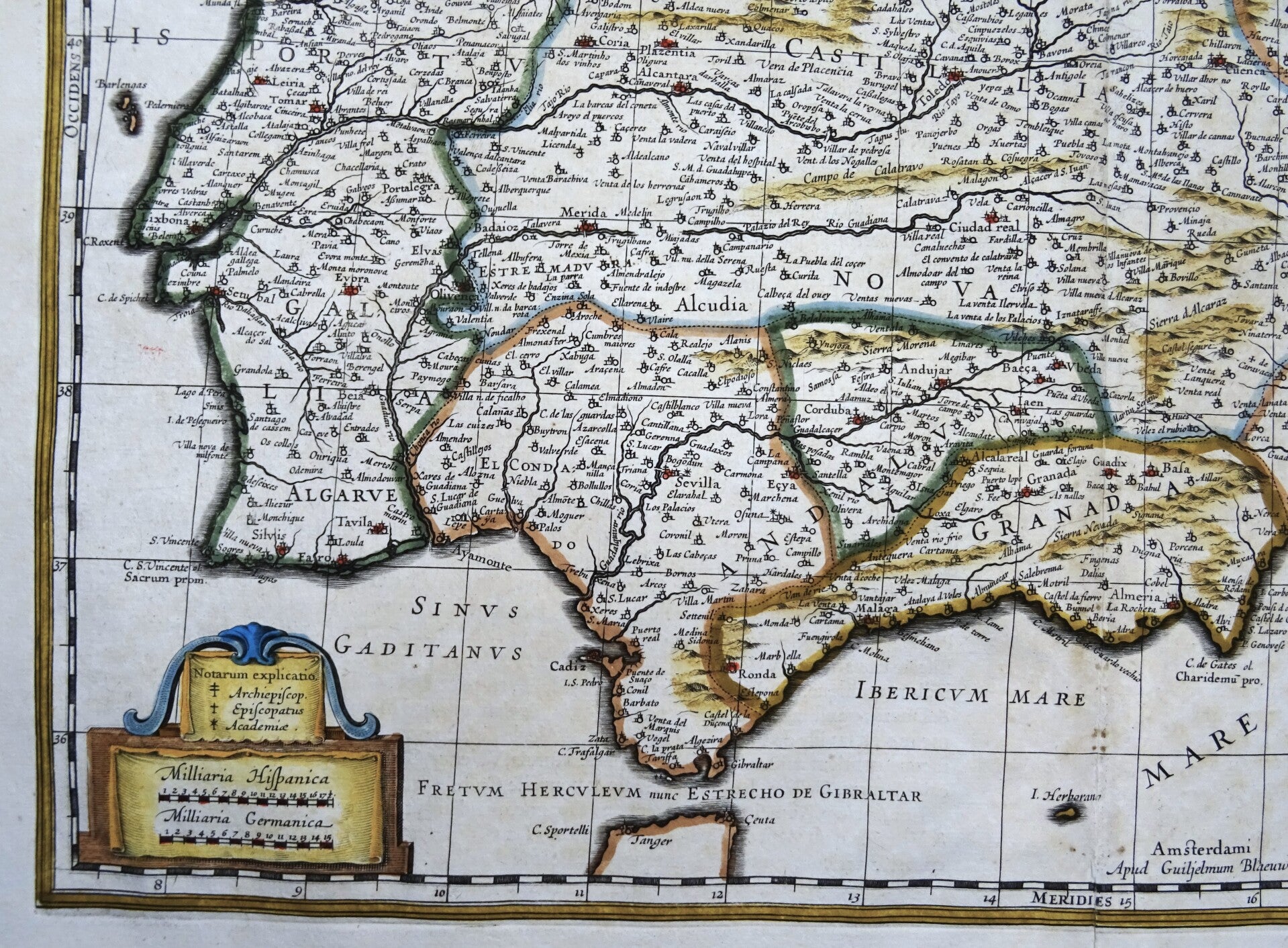
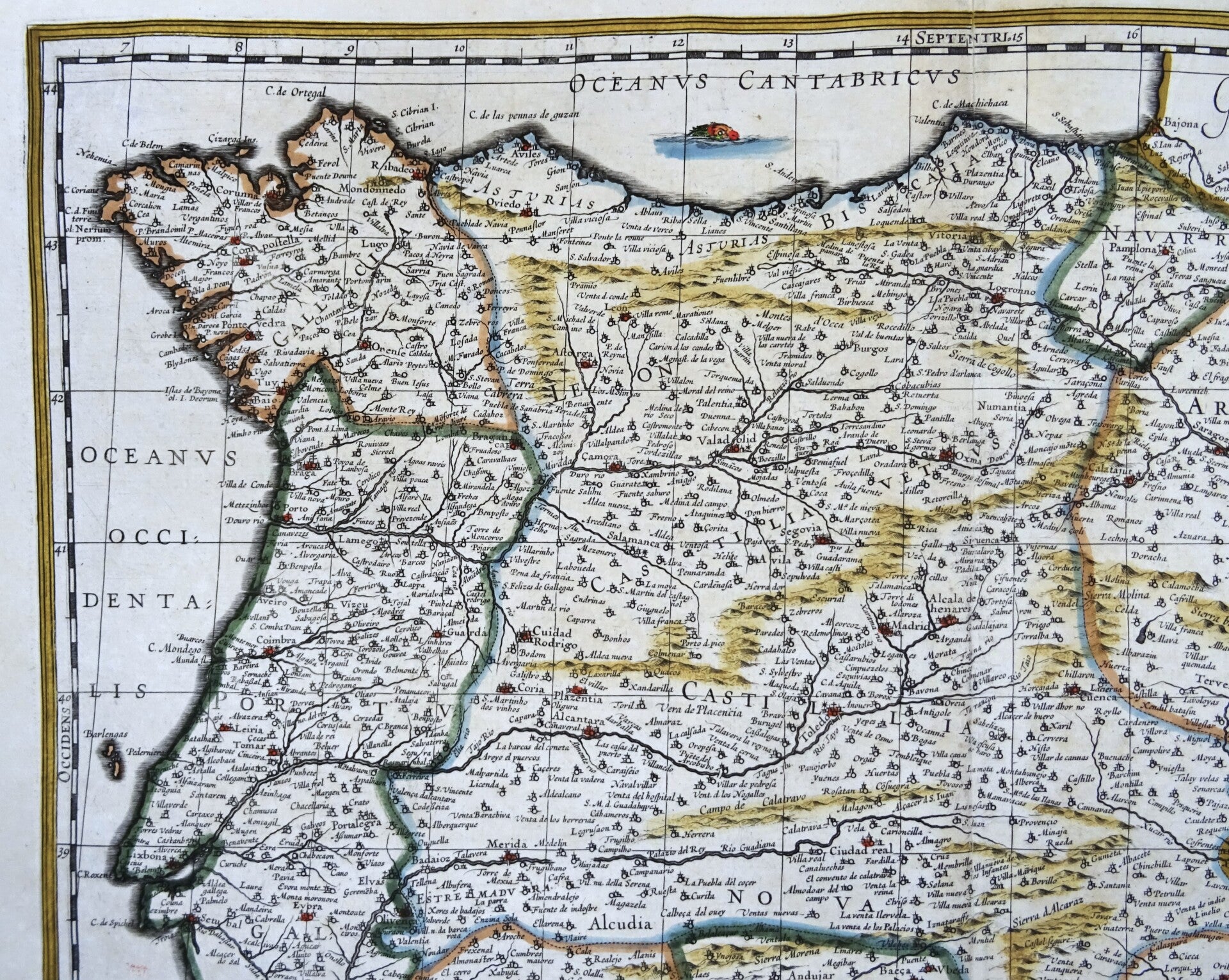
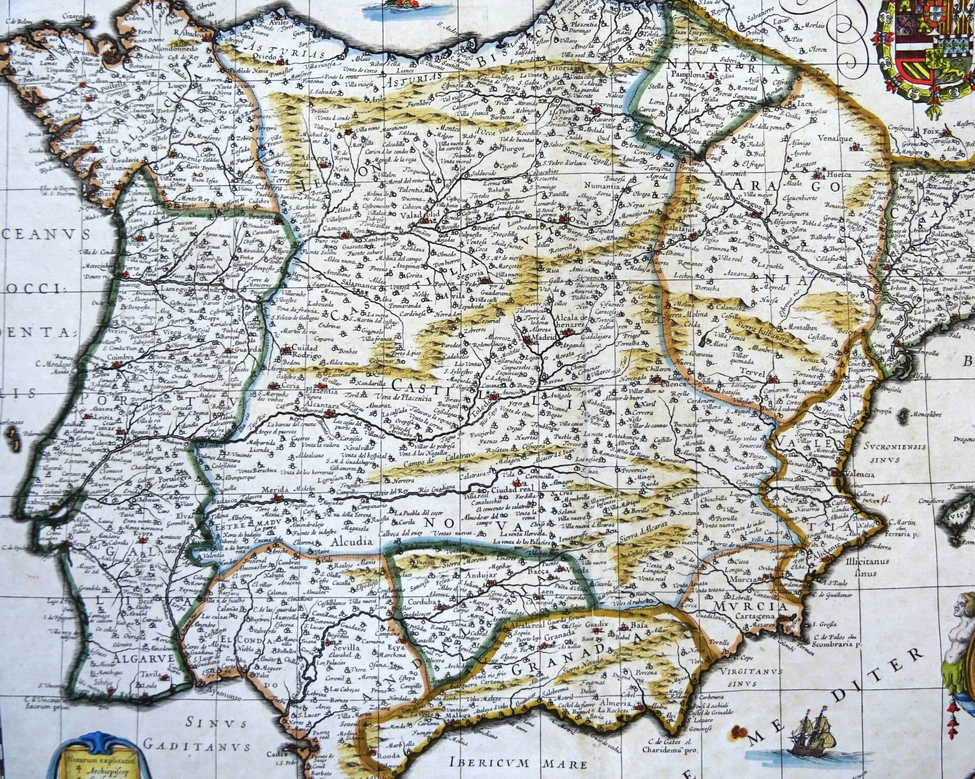
Beautiful 17th century map of Spain and Portugal. Published by W. and J. Blaeu in 1635 in Amsterdam in the French edition of their first large atlas (Atlas Novus).
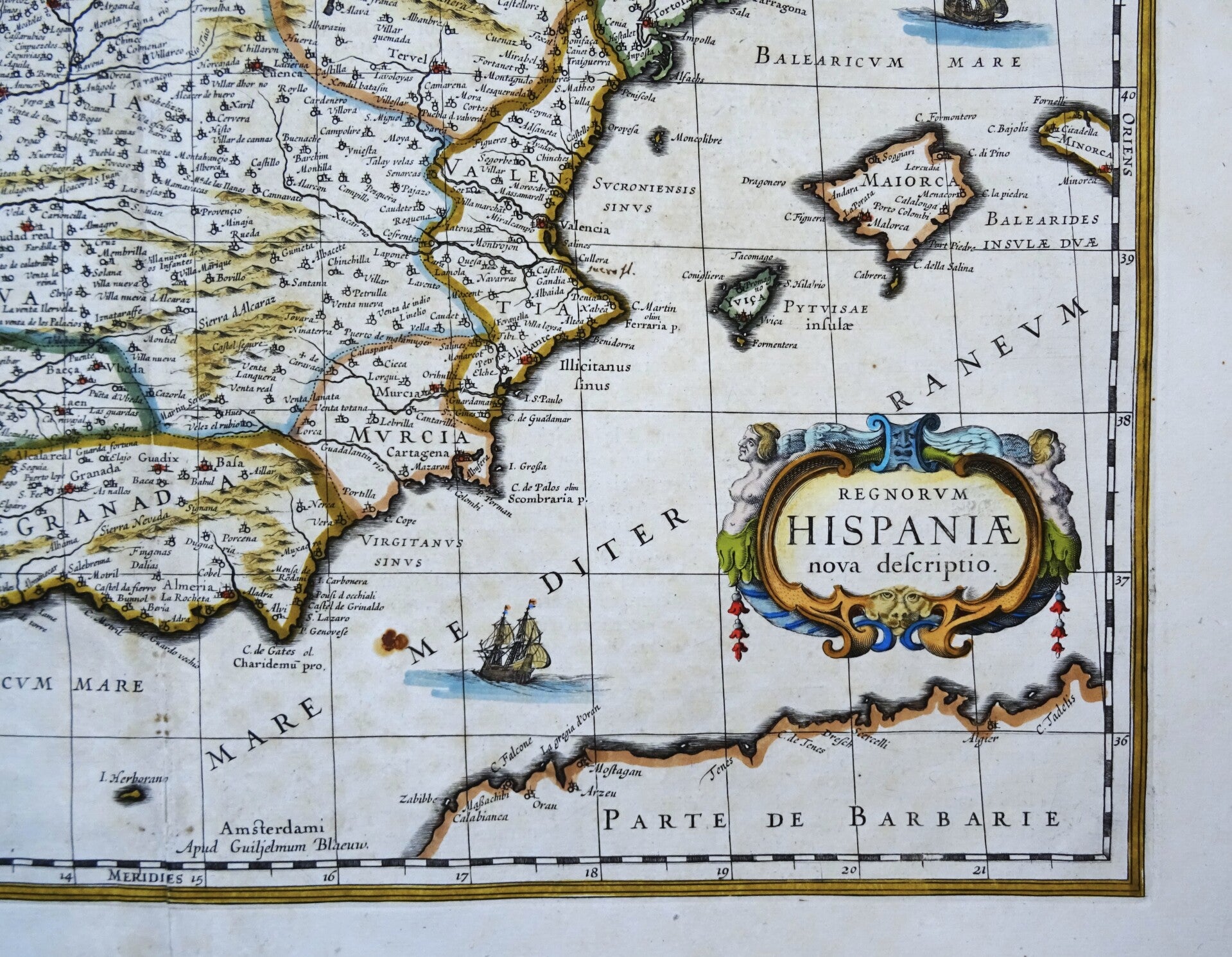
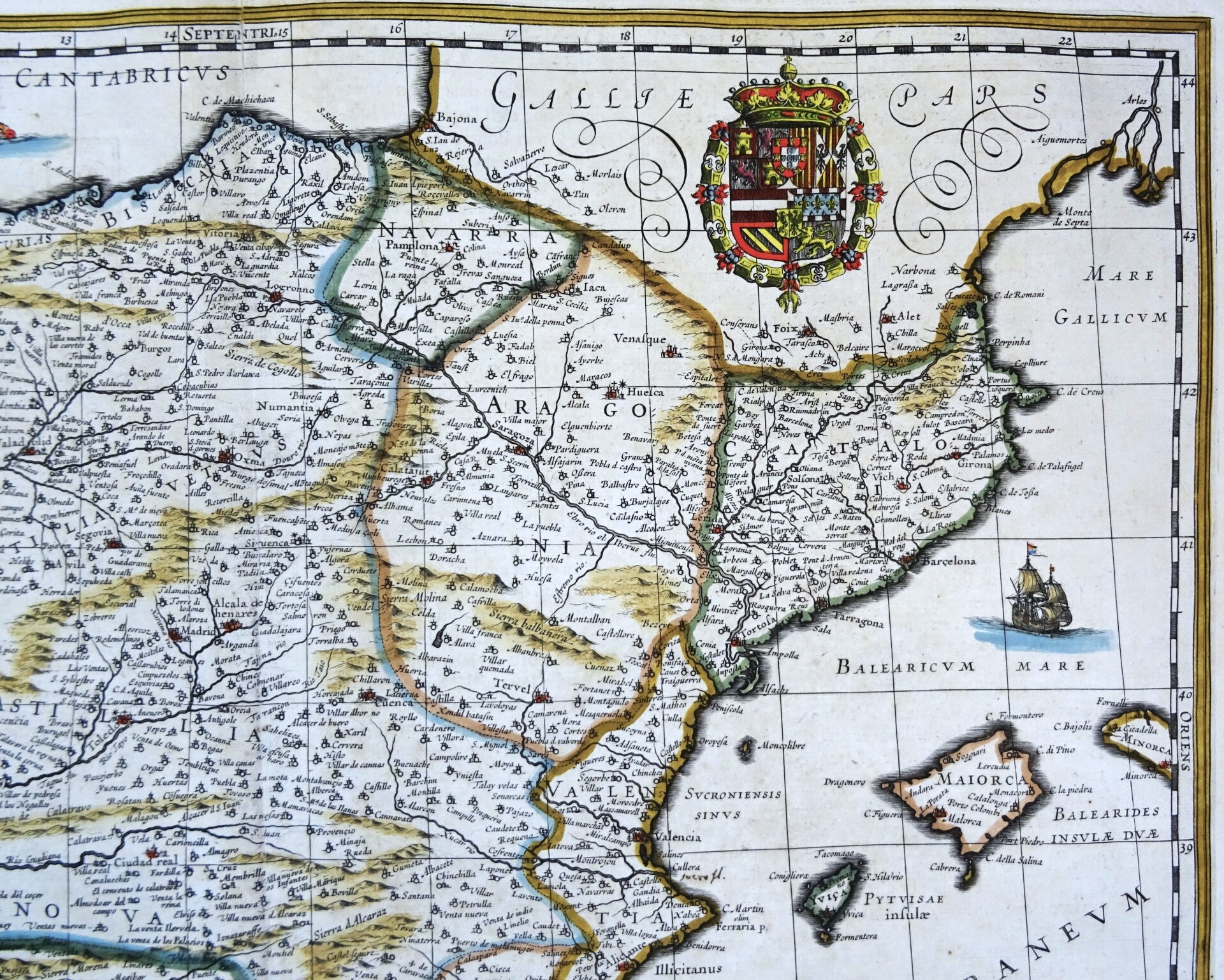
A fine early impression of this highly detailed map, embellished by a large cartouche, elaborate coat of arms, sailing ships and a sea monster.
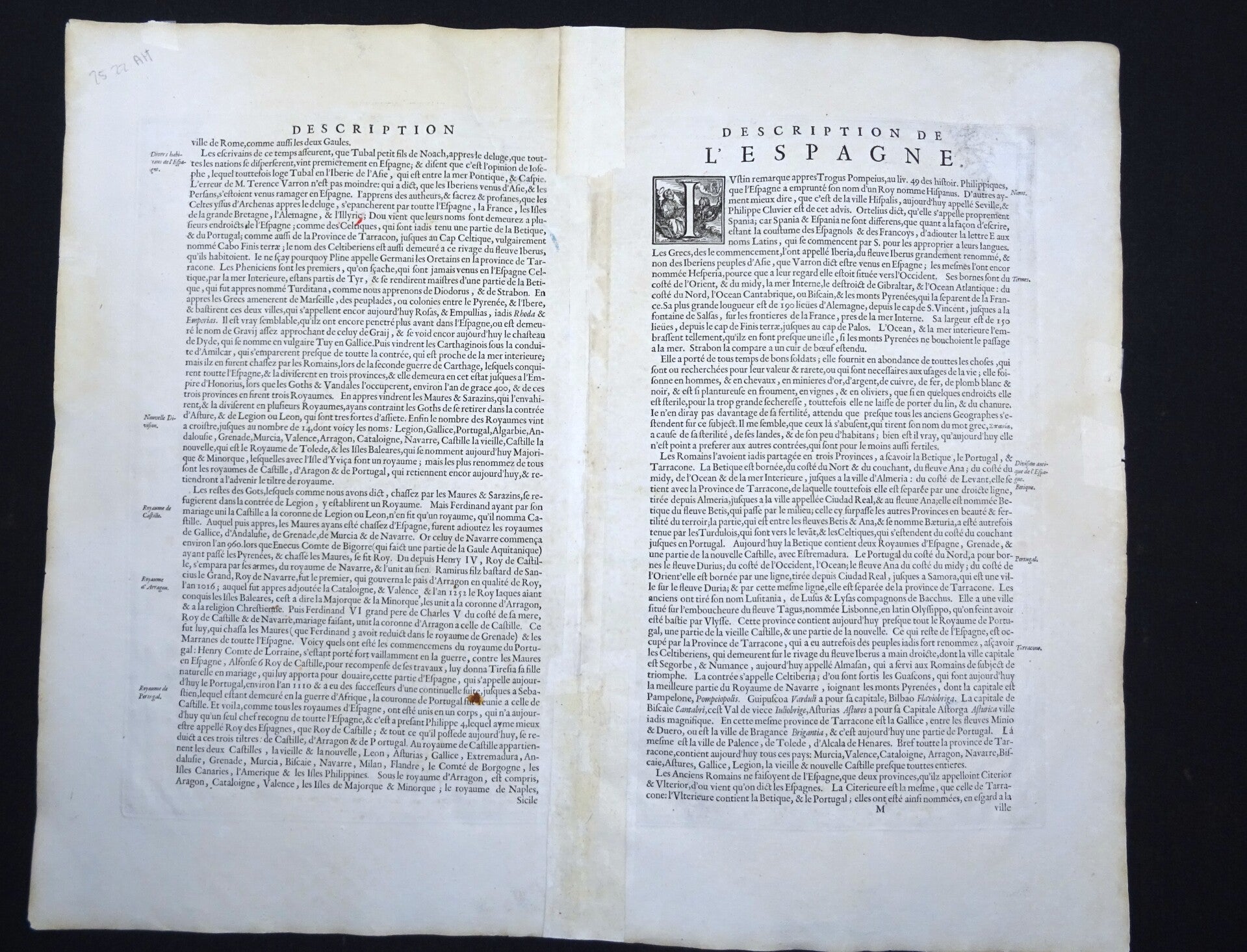
Very good condition. Some small repairs in the top and bottom of the central fold, some minor age browning in the margins and a small brown spot in the bottom of the image (see pictures). Otherwise excellent. Clear print, wide margins, thick paper. Reverse side text in French.
Image 37,5x48,5cm, sheet 49x57cm