

Southern Africa J. Janssonius, 1636, Aethiopia Inferior vel Exterior
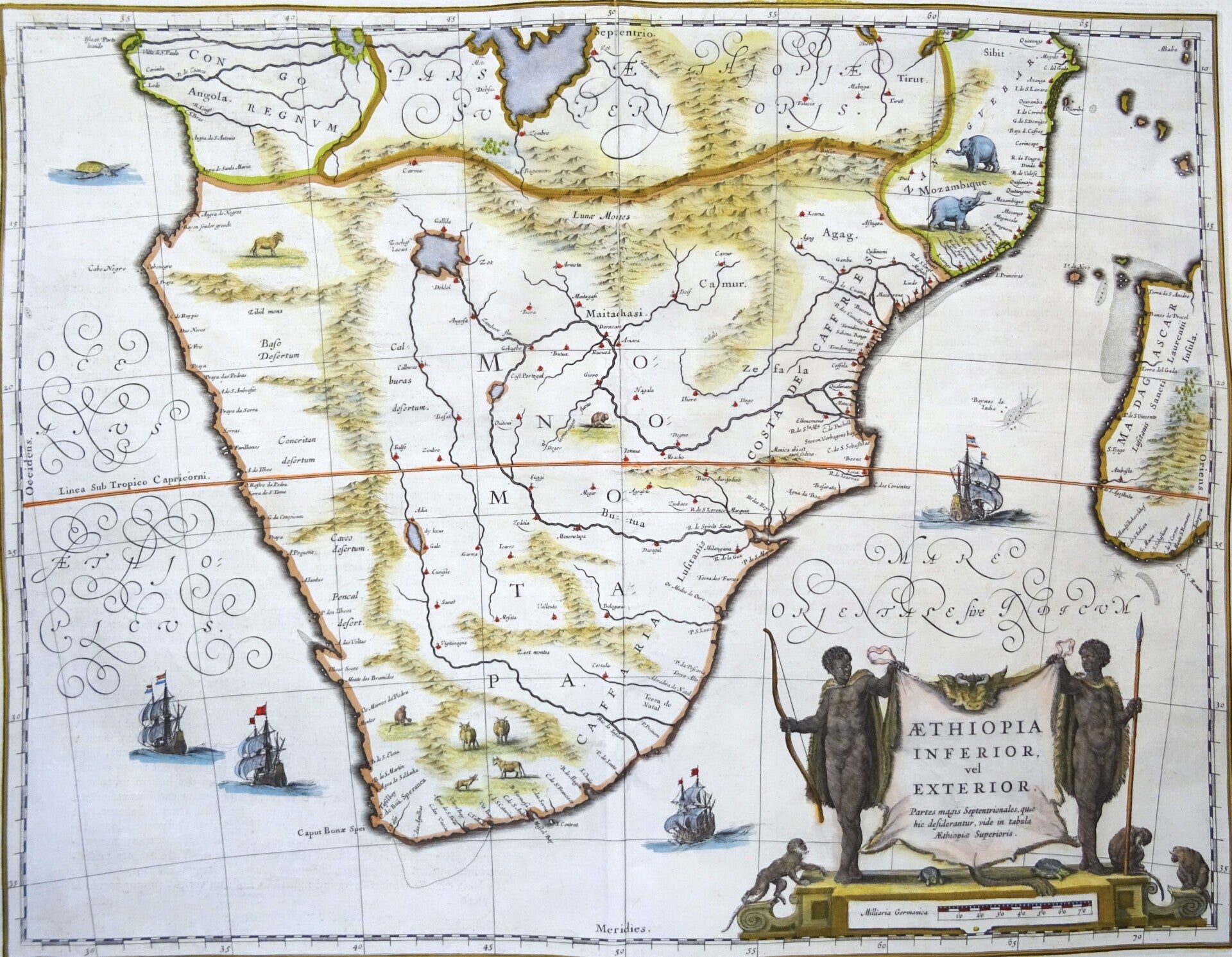
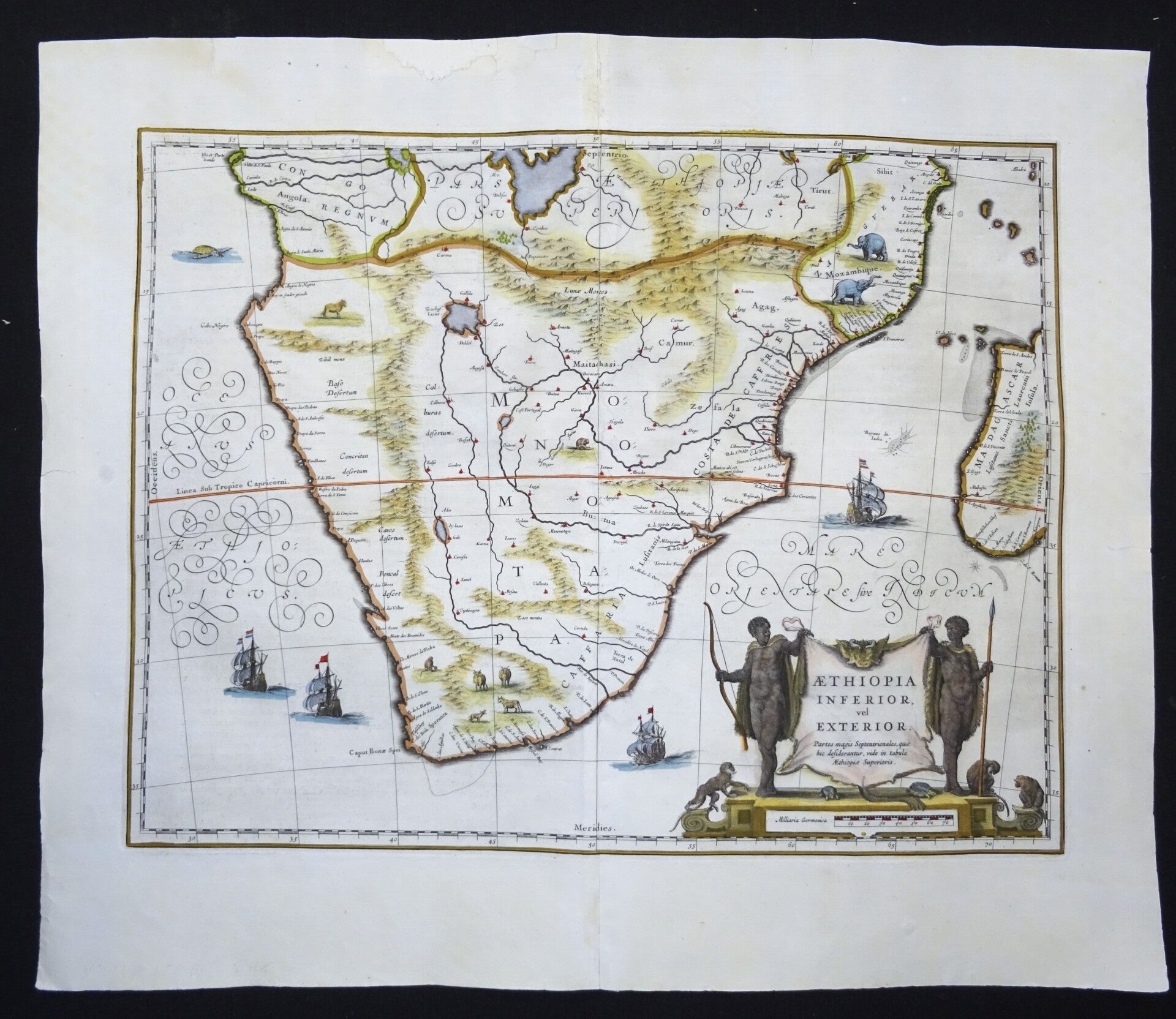
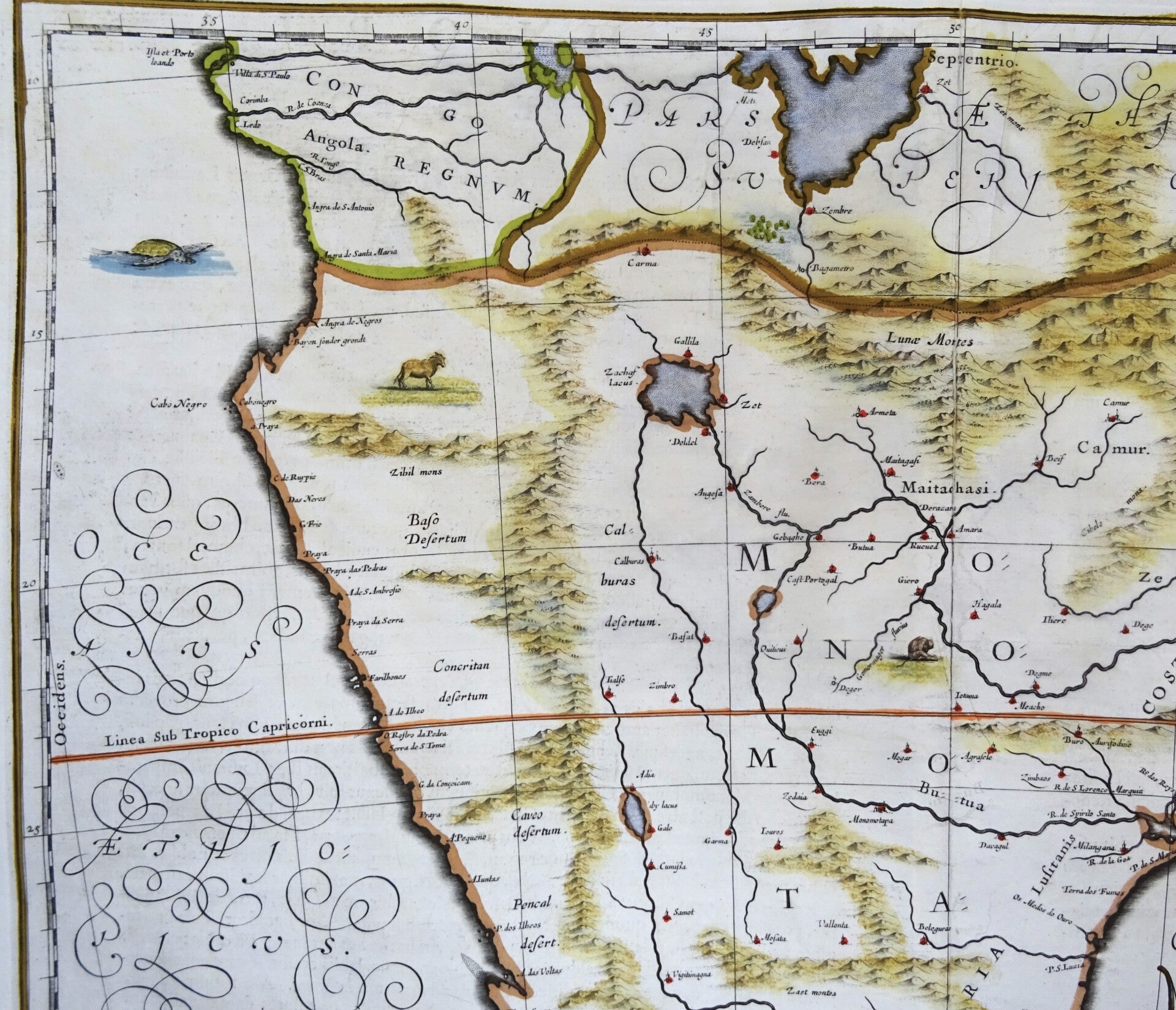
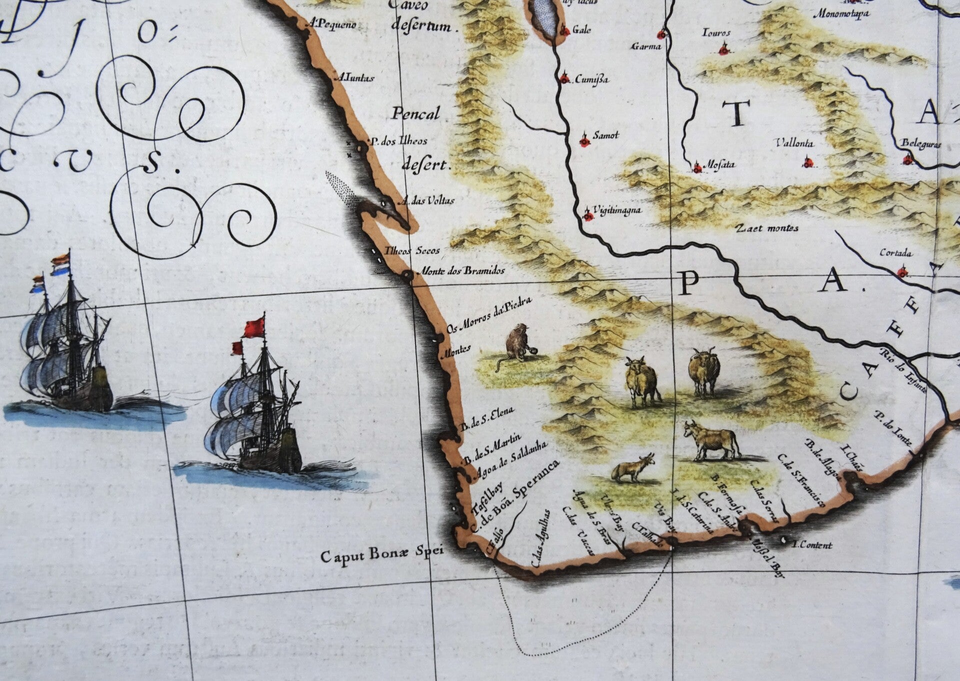
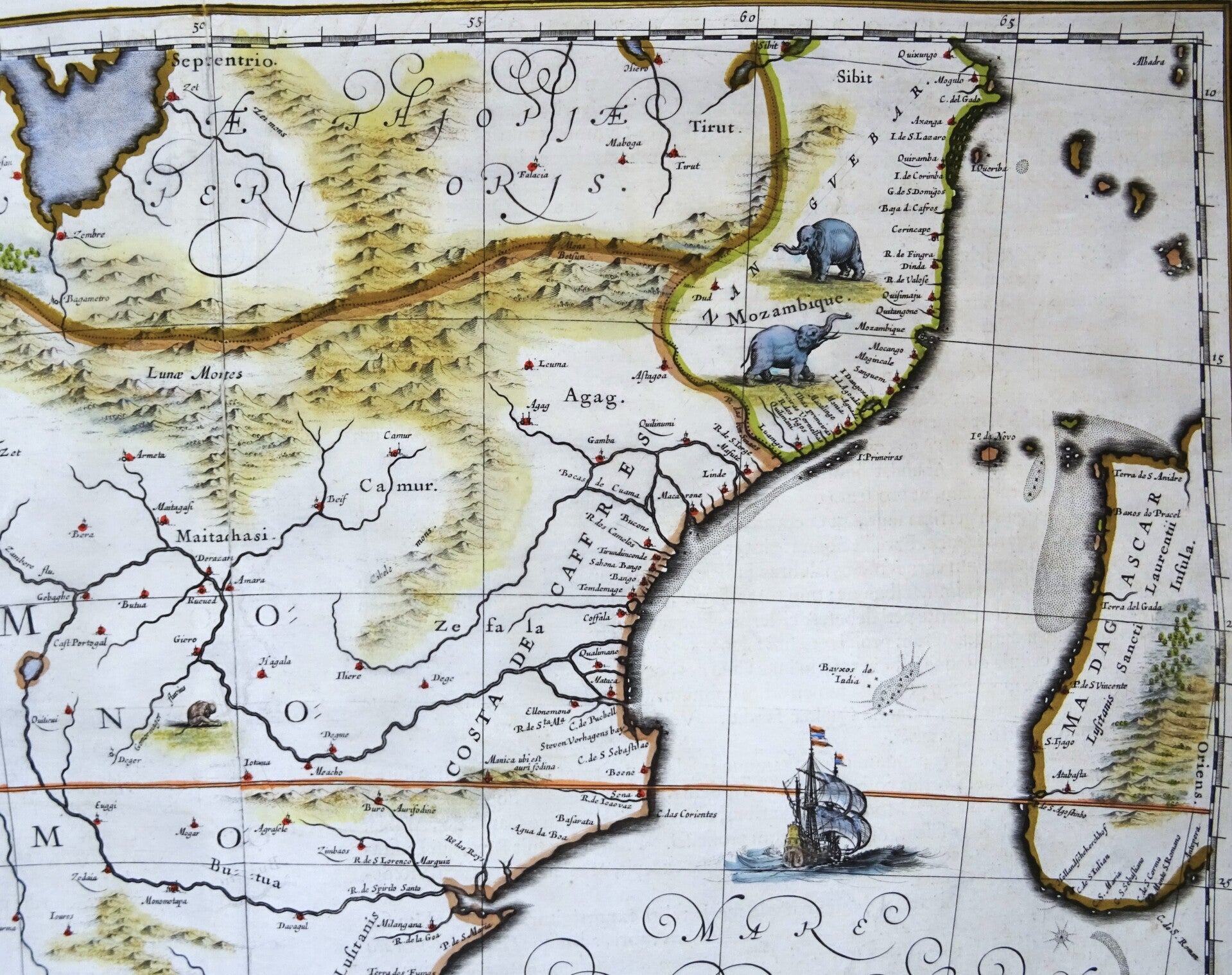
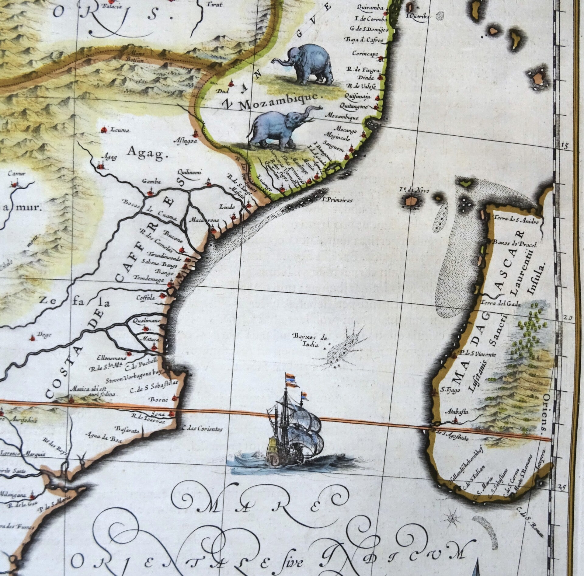
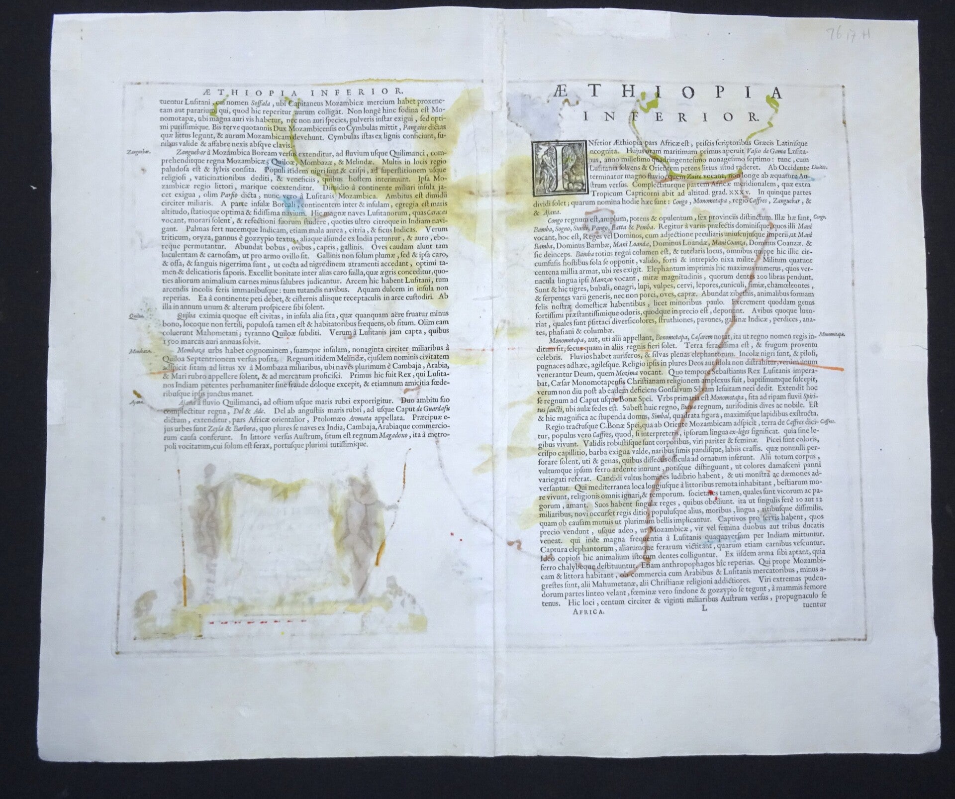
Folio sized map of Southern Africa, published in 1636 in Amsterdam by Jan Janssonius.
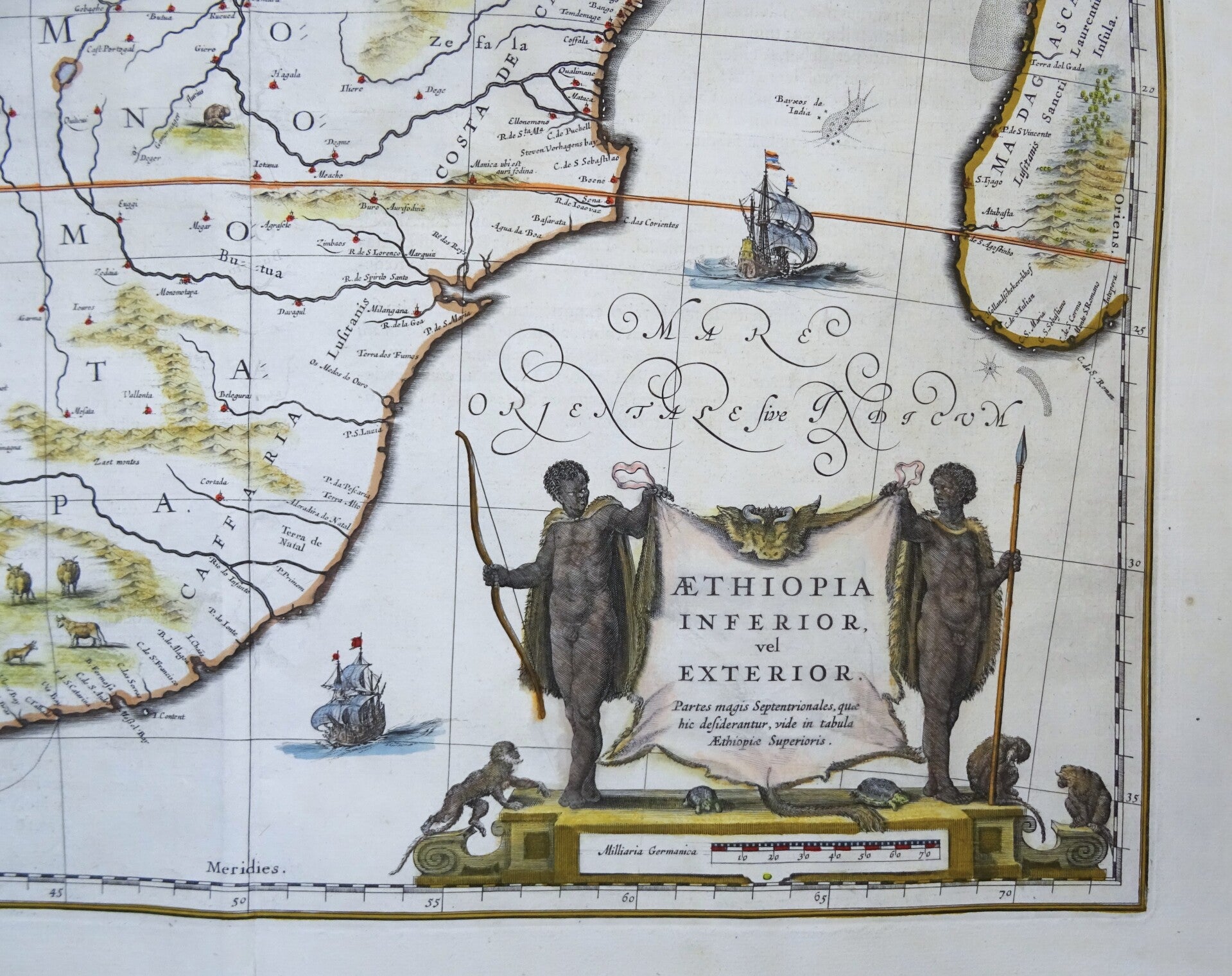
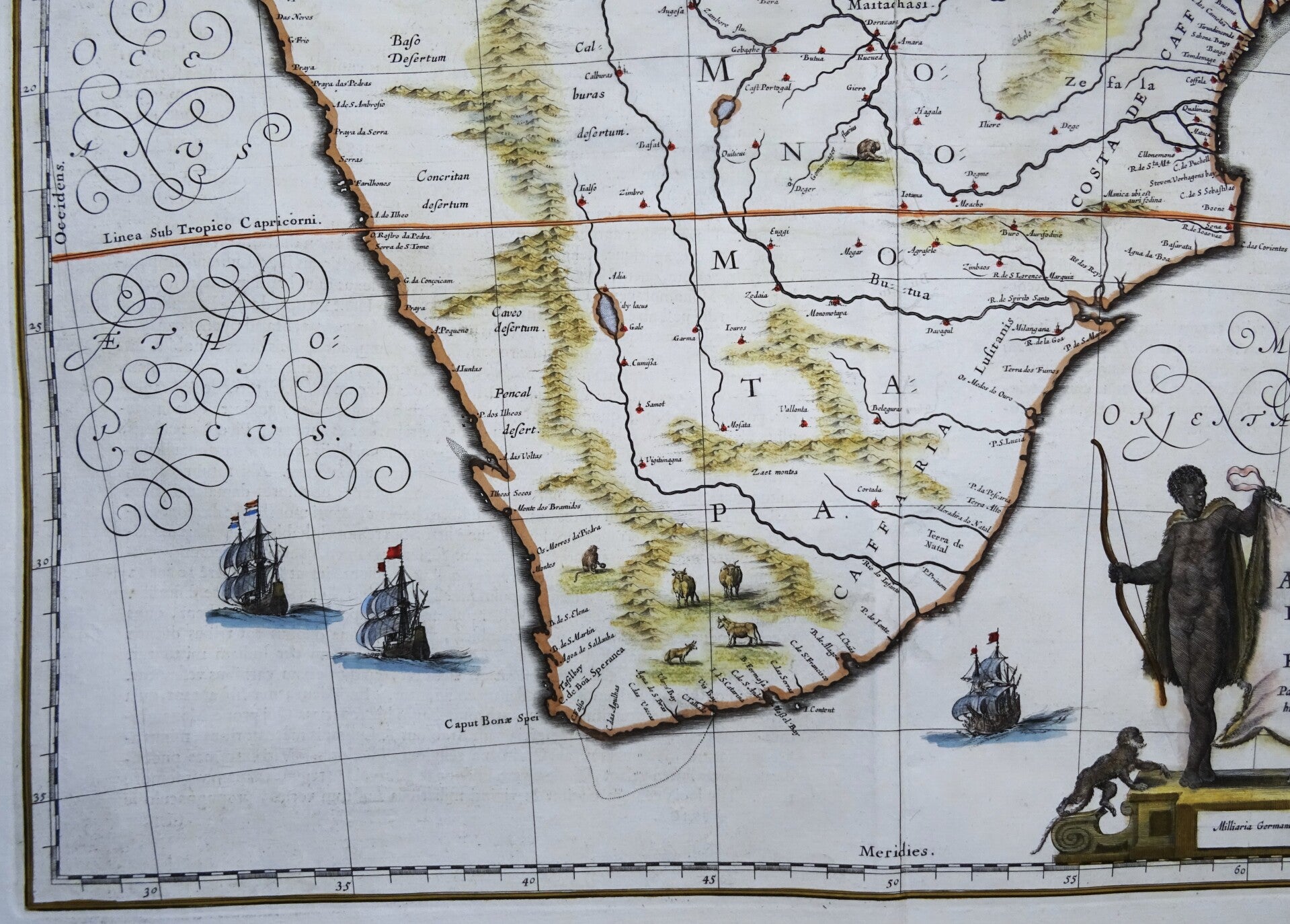
It shows Southern Africa, shortly before the first Dutch settlement in the region. The area shown is from the Congo River baisn around the Cape of Good Hope and up the east coast as far as northern present-day Mozambique. Many coastal names shown, including Mozambique Island which was an important stop over for ships sailing to India and points east. To the north, one of the Ptolemaic lakes thought to be the source of the Nile is shown. Information on the interior is sparse, reflecting the lack of knowledge the Europeans had about the interior of Africa.
Decorated with a nice title cartouche, sail ships and many (land and sea) animals.
Good-very good condition. Some small repairs in the upper margin and the central fold, without impact on the image. Clear print, wide margins, central fold (as published), reverse side text in Latin.
Image 36x49cm, sheet 50x58cm