Brazil, 3 maps…. Bellin, 1756, Carte du Bresil prem. Partie / Suite du Bresil 1 / Suite du Bresil 2
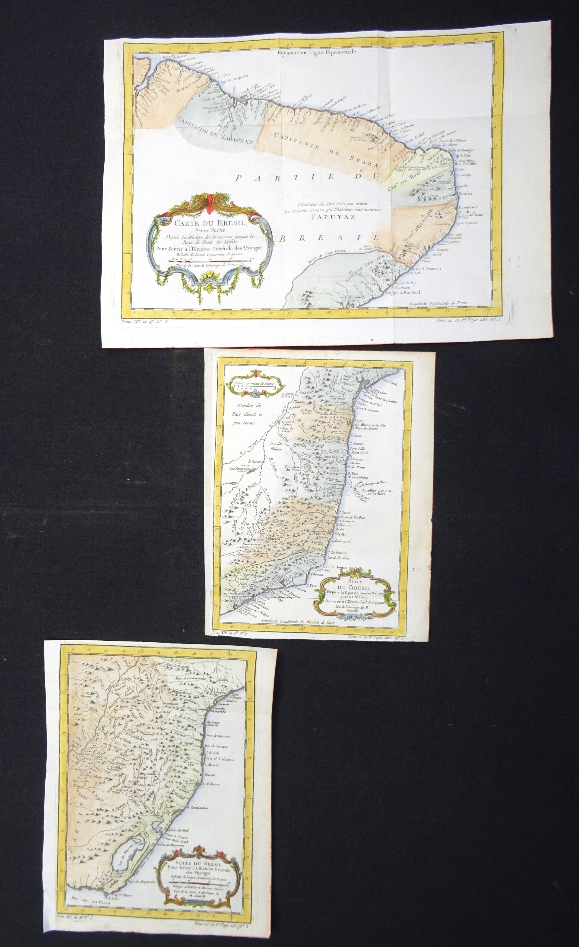
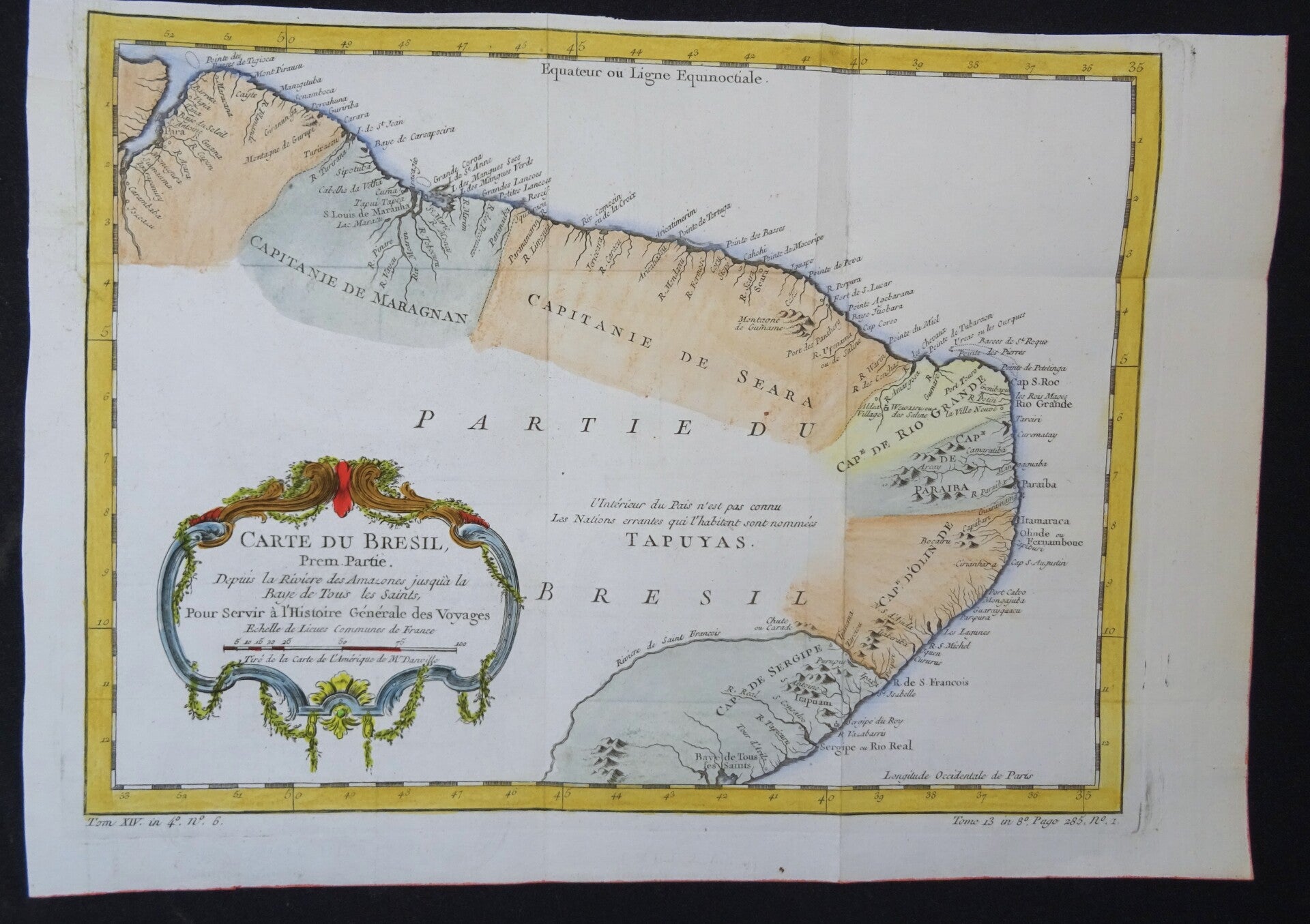
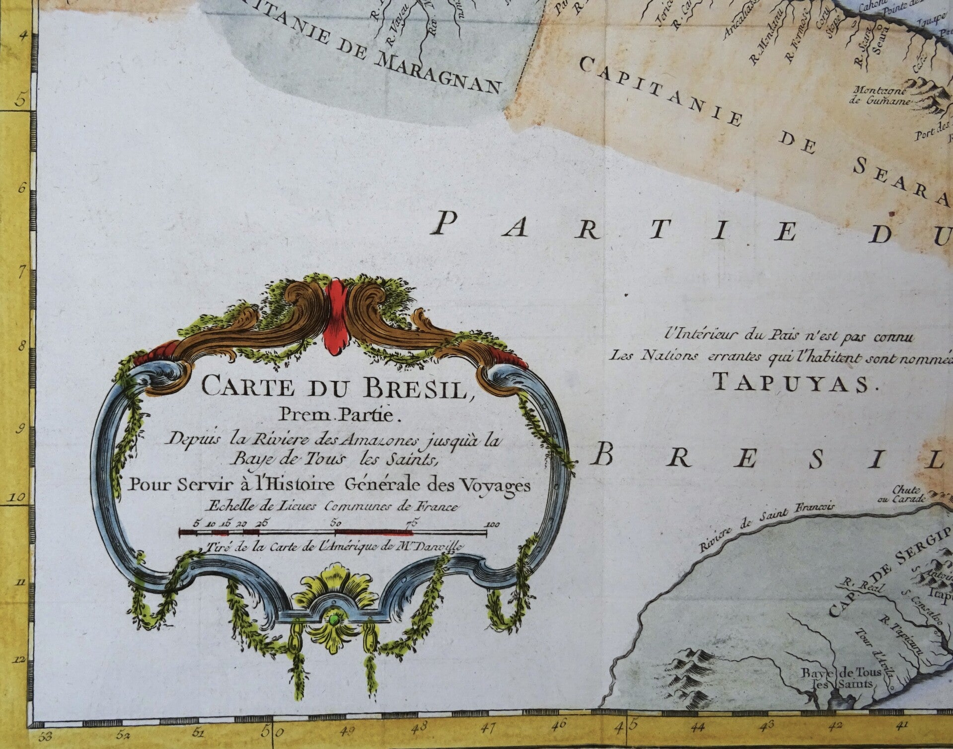
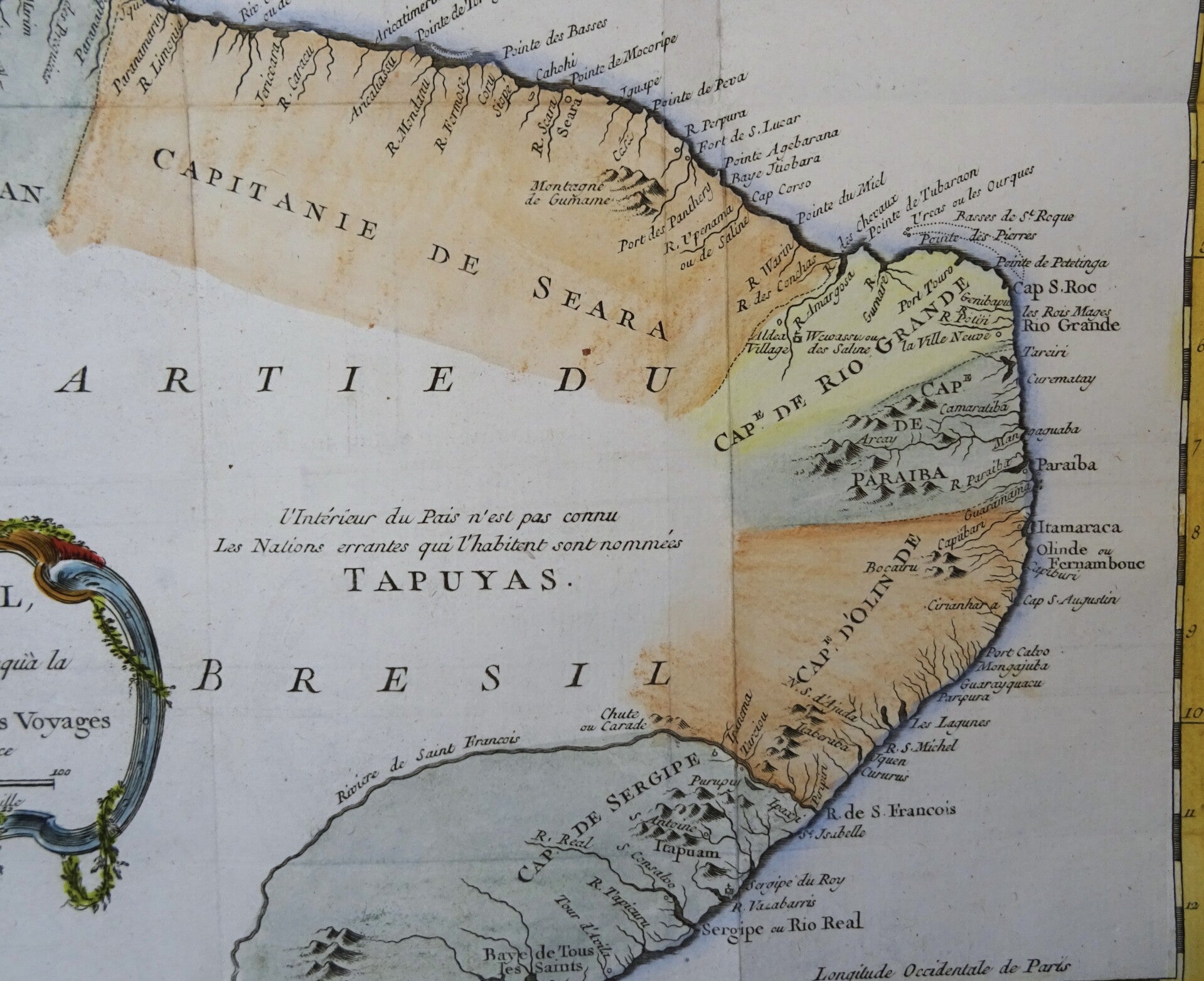
For all 3 maps: Produced by Bellin for Prevost d'Exiles influential travel book, L'Histoire Generale des Voyages.
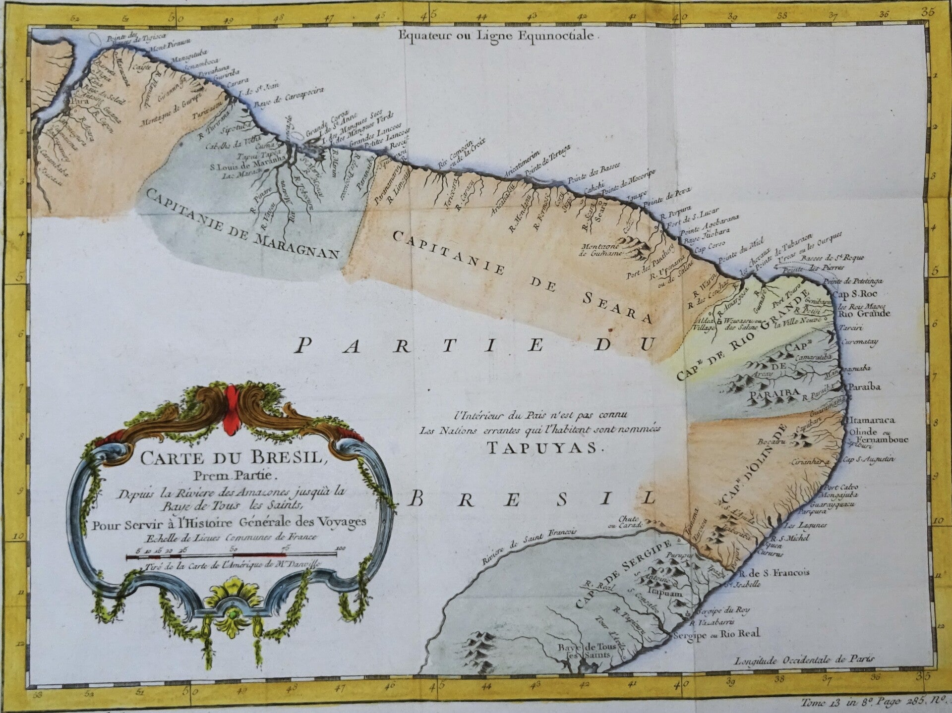
1. Carte du Bresil Prem. partie.. (1756)
Image 23,5x32,5cm, sheet 27x38,5cm
Map of the north and north-east coast of Brazil between Guyana and the Bay of All Saints.
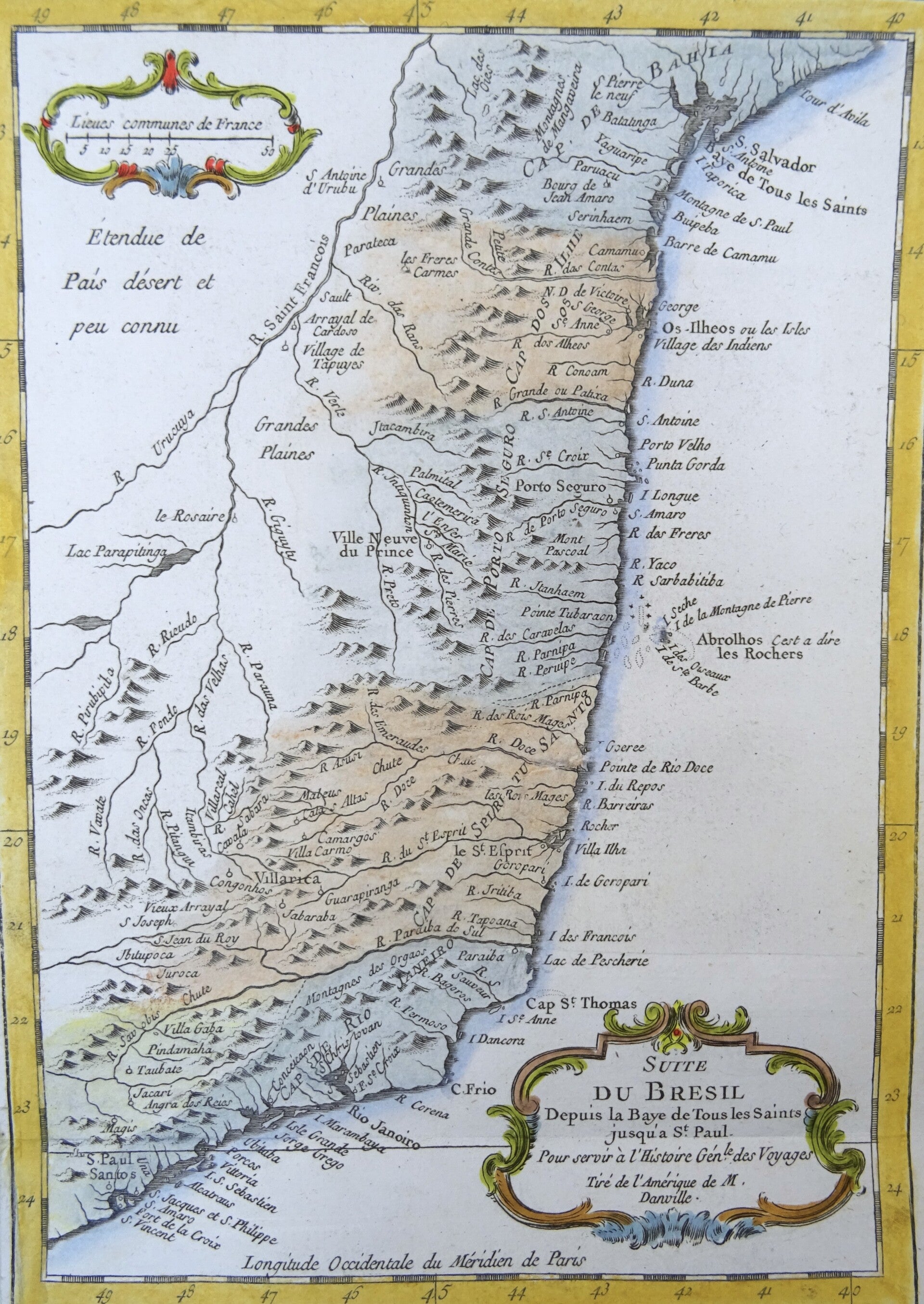
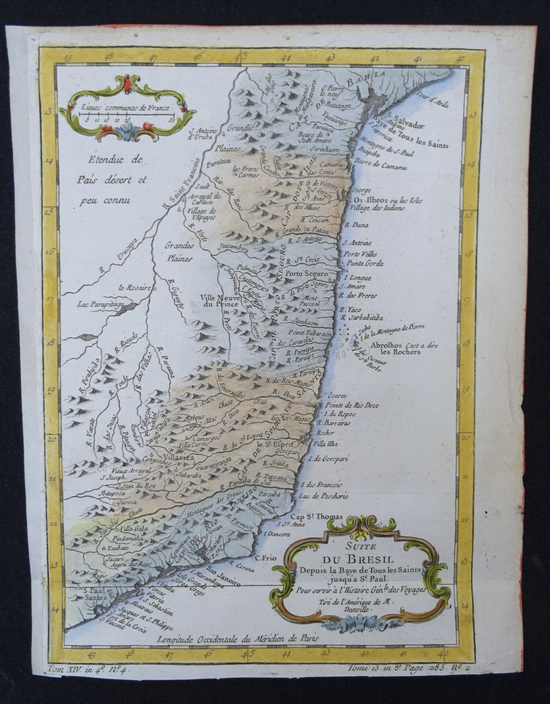
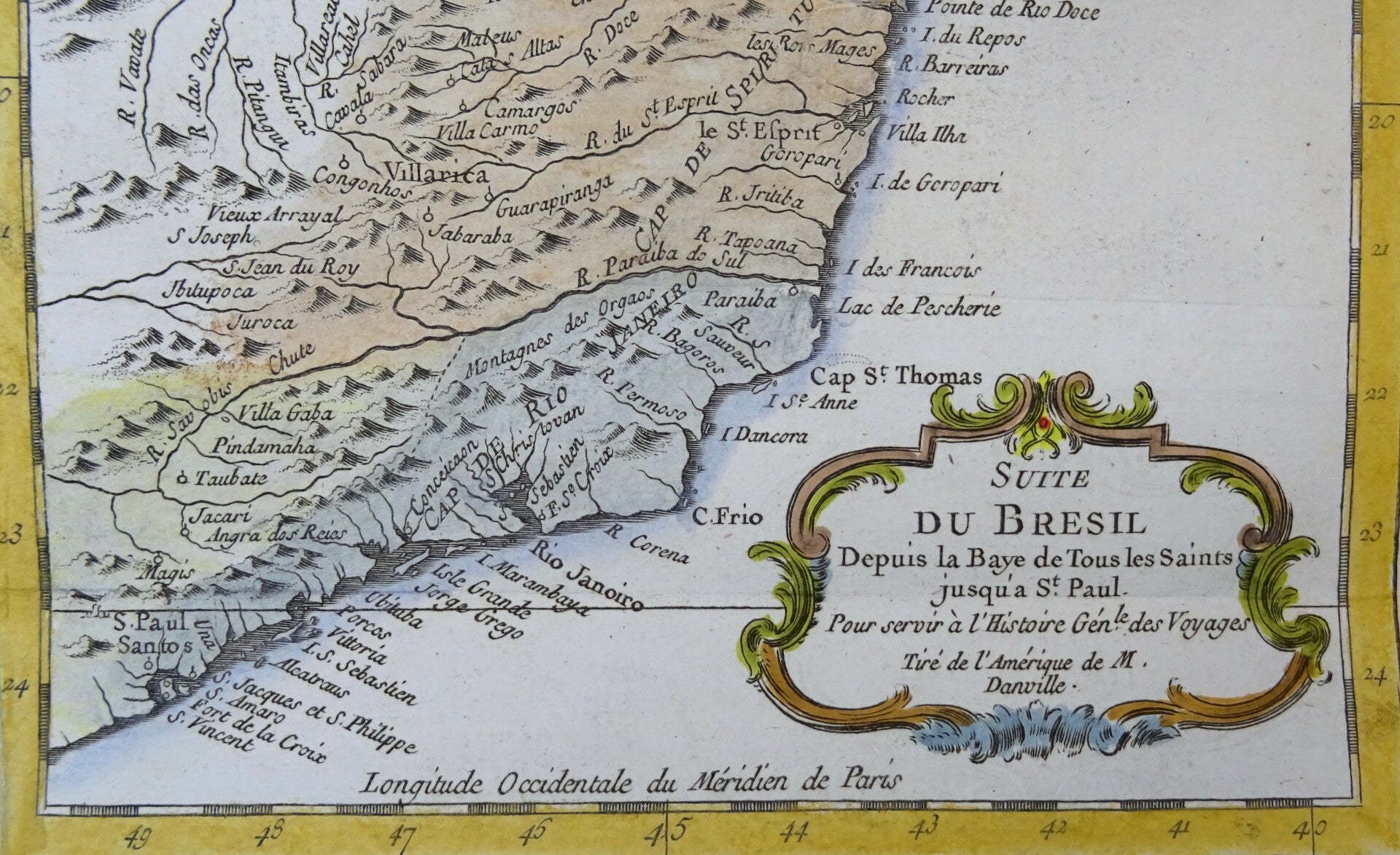
2. Suite du Bresil Depuis la Baye de Tous les Saints jusqu´a St. Paul (1756)
Image 23,5x16,5cm, page 25x19,5cm
Shows the central part of the coast of Brazil, between the Bay of All Saints until Rio de Janeiro and Sao Paulo.
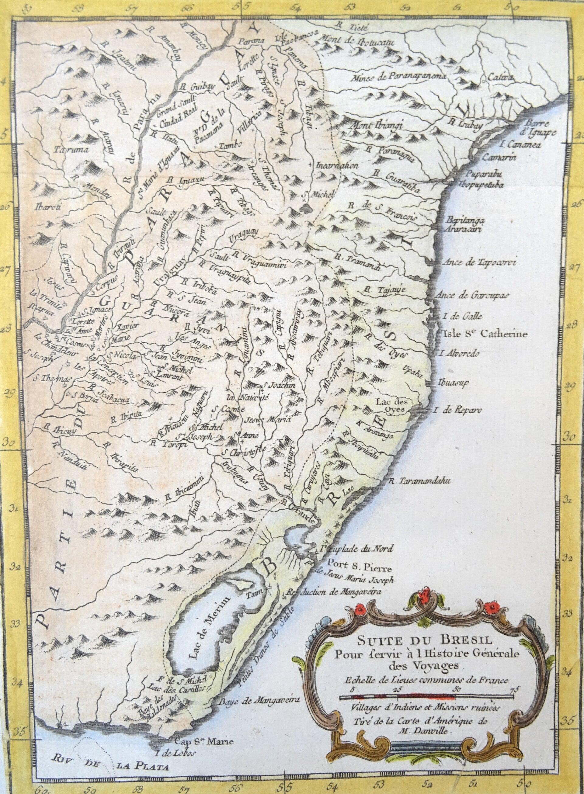
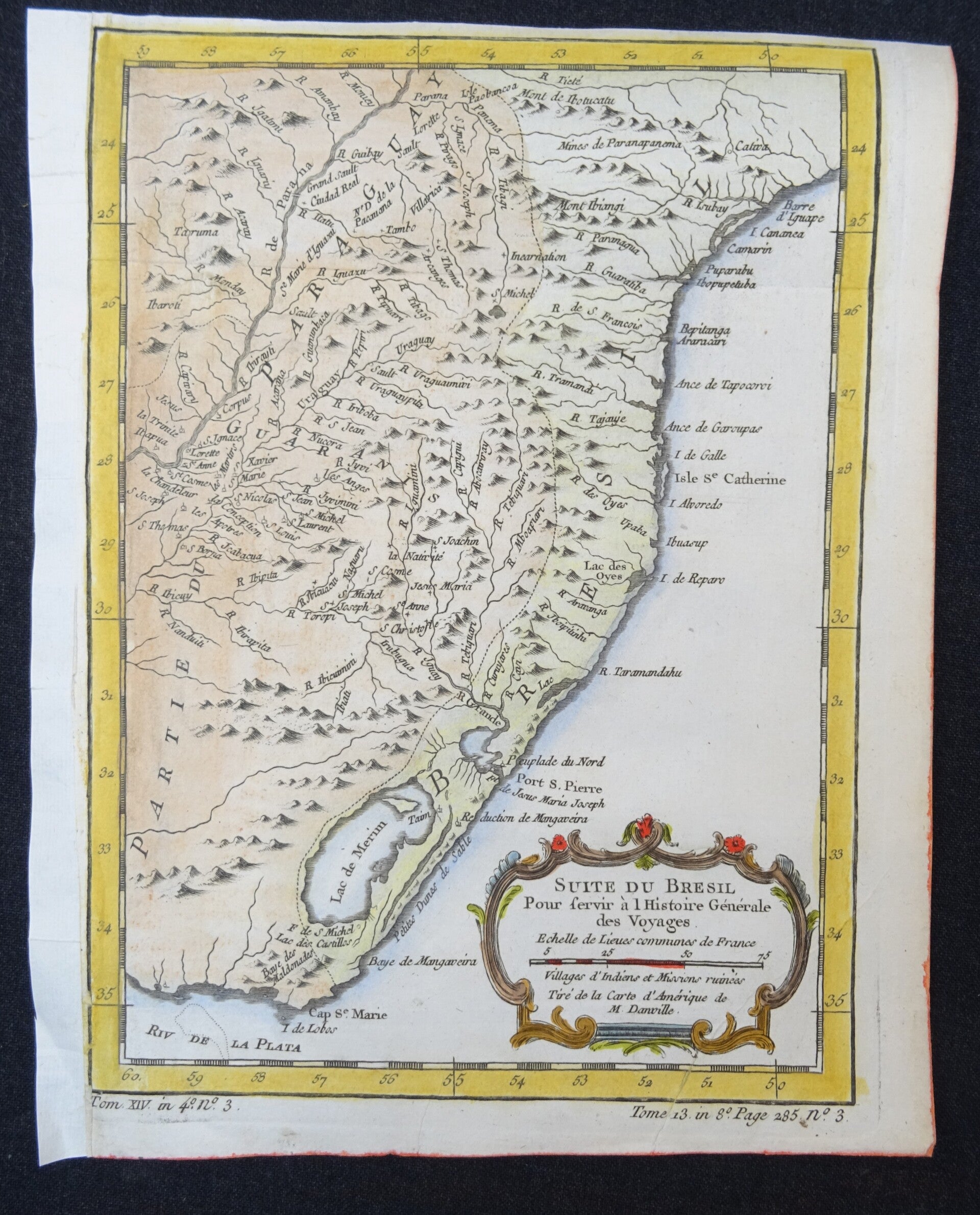
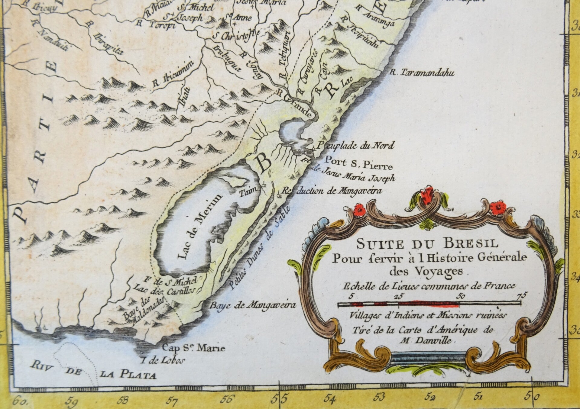
3. Suite du Bresil ... (1756)
Image 23,5x16,5cm, page 25x20cm
Shows the southern part of the coast of Brazil, including Uruguay, with the Rio de la Plata down below.
(total items: 3)
All in very good condition. The left margins of the two smaller maps are extended with antique paper. Folds as issued. Ample margins, some minimal age browning. Reverse side blank.