Portugal, Mercator/Cloppenburg, 1630, Portugalia et Algarve
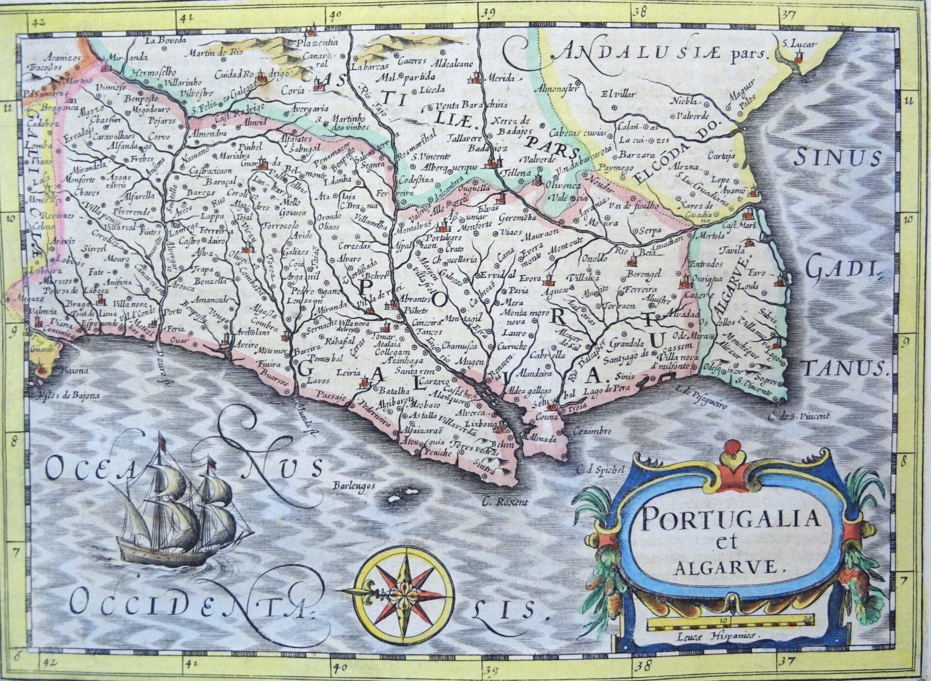
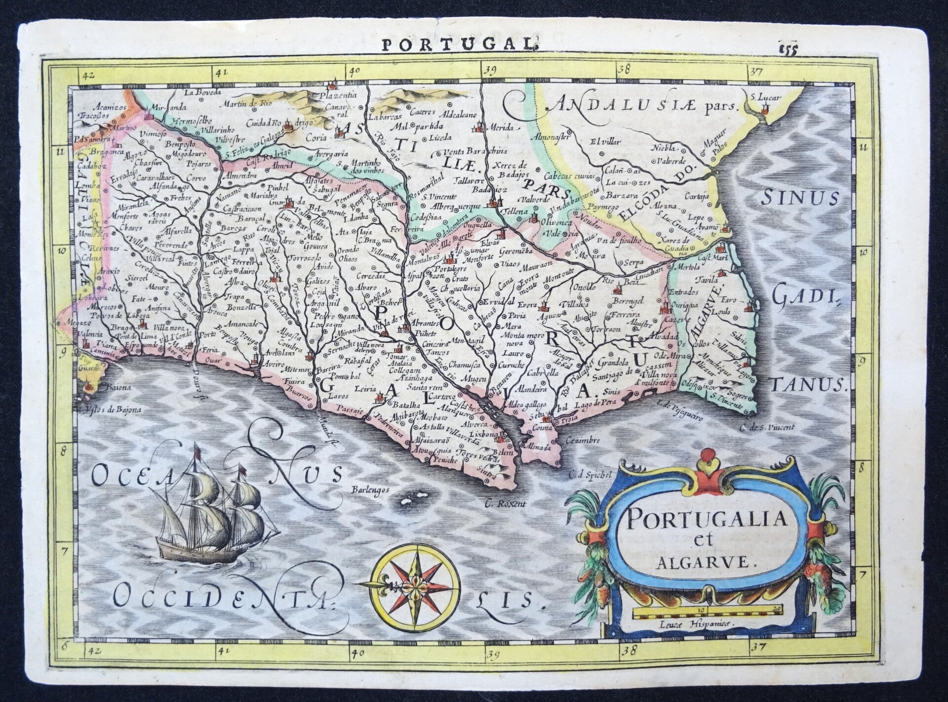
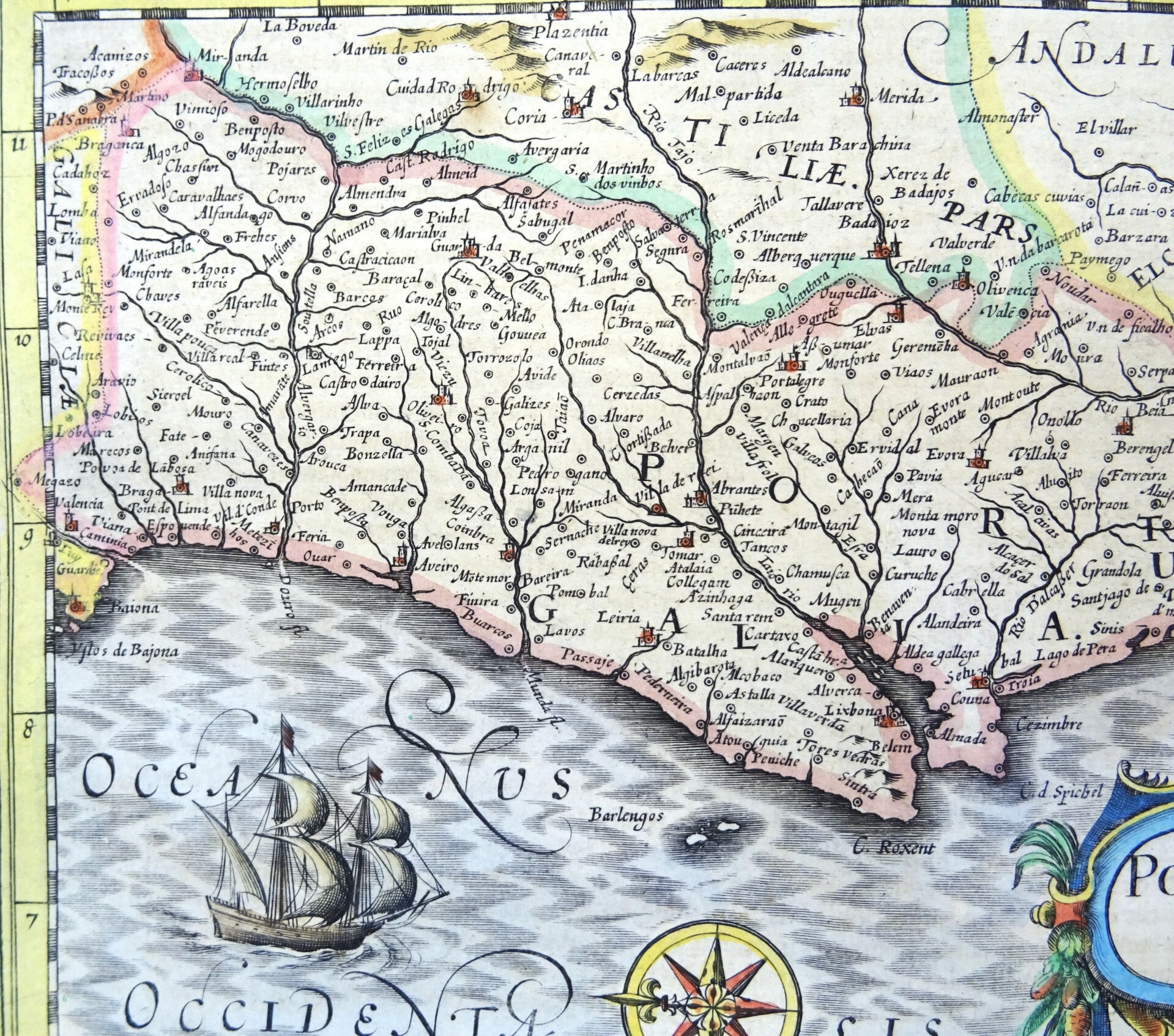
Very nice 1630 Cloppenburg edition of the Mercator Atlas Minor map of Portugal, oriented with the north to the left.
This charming and richly decorative antique map titled Portugalia et Algarve was published in the famous Cloppenburgh edition of Mercator’s atlas tradition in Amsterdam in 1630.
Compact in format yet highly detailed, the map beautifully presents the Kingdom of Portugal during the early seventeenth century, engraved in the elegant style of the Dutch Golden Age of cartography.
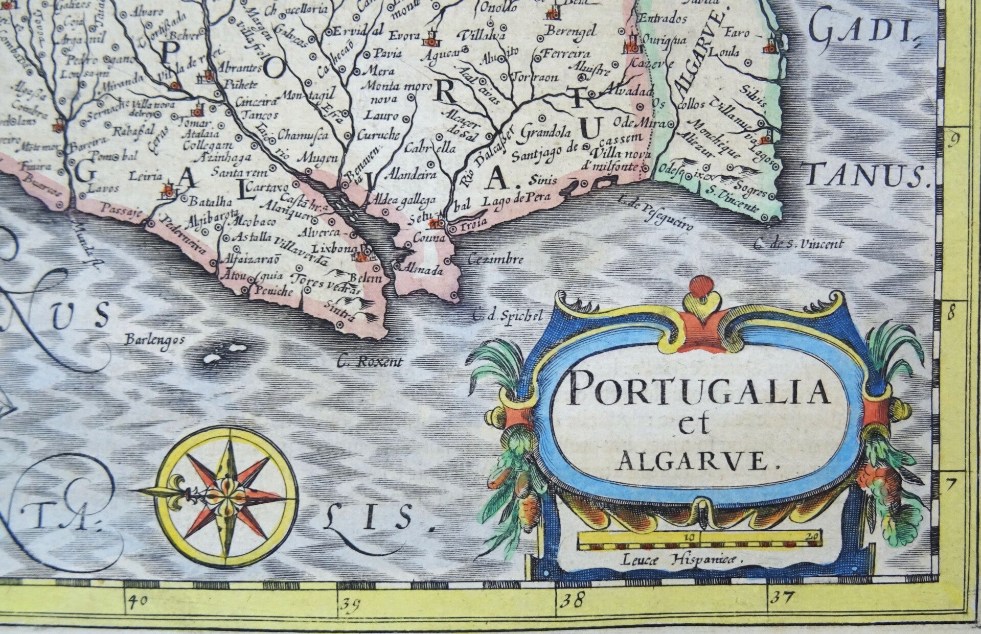
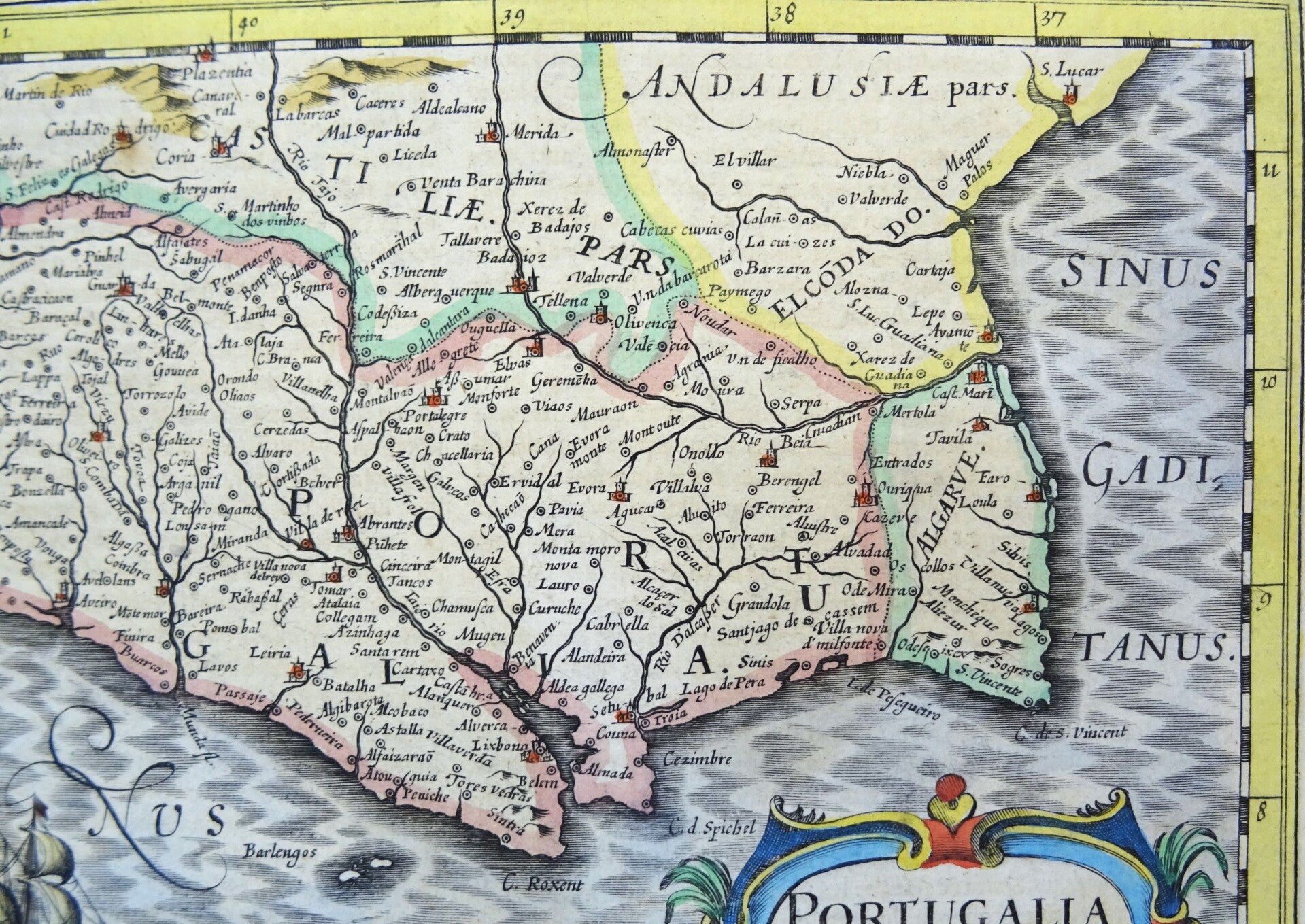
The map depicts Portugal from the northern frontier bordering Galicia to the southern coastline of the Algarve. Historic provinces including Minho, Trás-os-Montes, Beira, Estremadura, Alentejo, and Algarve are shown together with numerous towns, rivers, and mountain ranges.
To the east appear portions of Andalusia and the Spanish borderlands, while the Sinus Gaditanus (Gulf of Cádiz) is labeled in the southeast.
The Atlantic Ocean dominates the lower half of the composition, animated by a magnificent engraved sailing ship under full sail.
Excellent condition
Image 18x25cm, sheet 20x27,5cm