

World Map, USA with Sea of the West, R. Bonne, 1781, Mappe-Monde en deux Hemispheres l´Oriental et l´Occidental
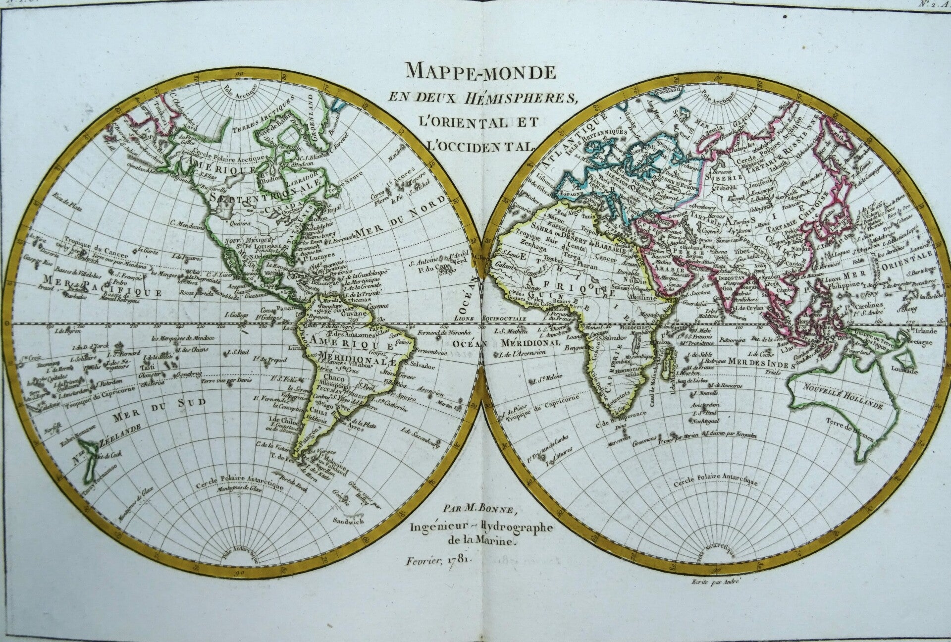
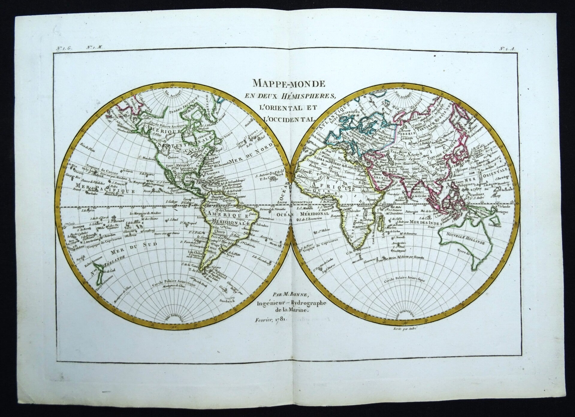
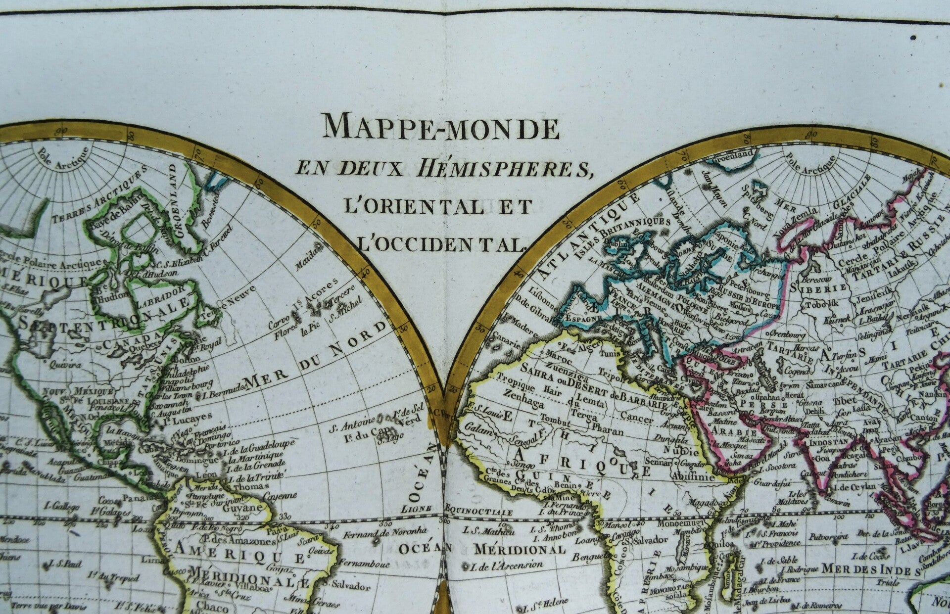
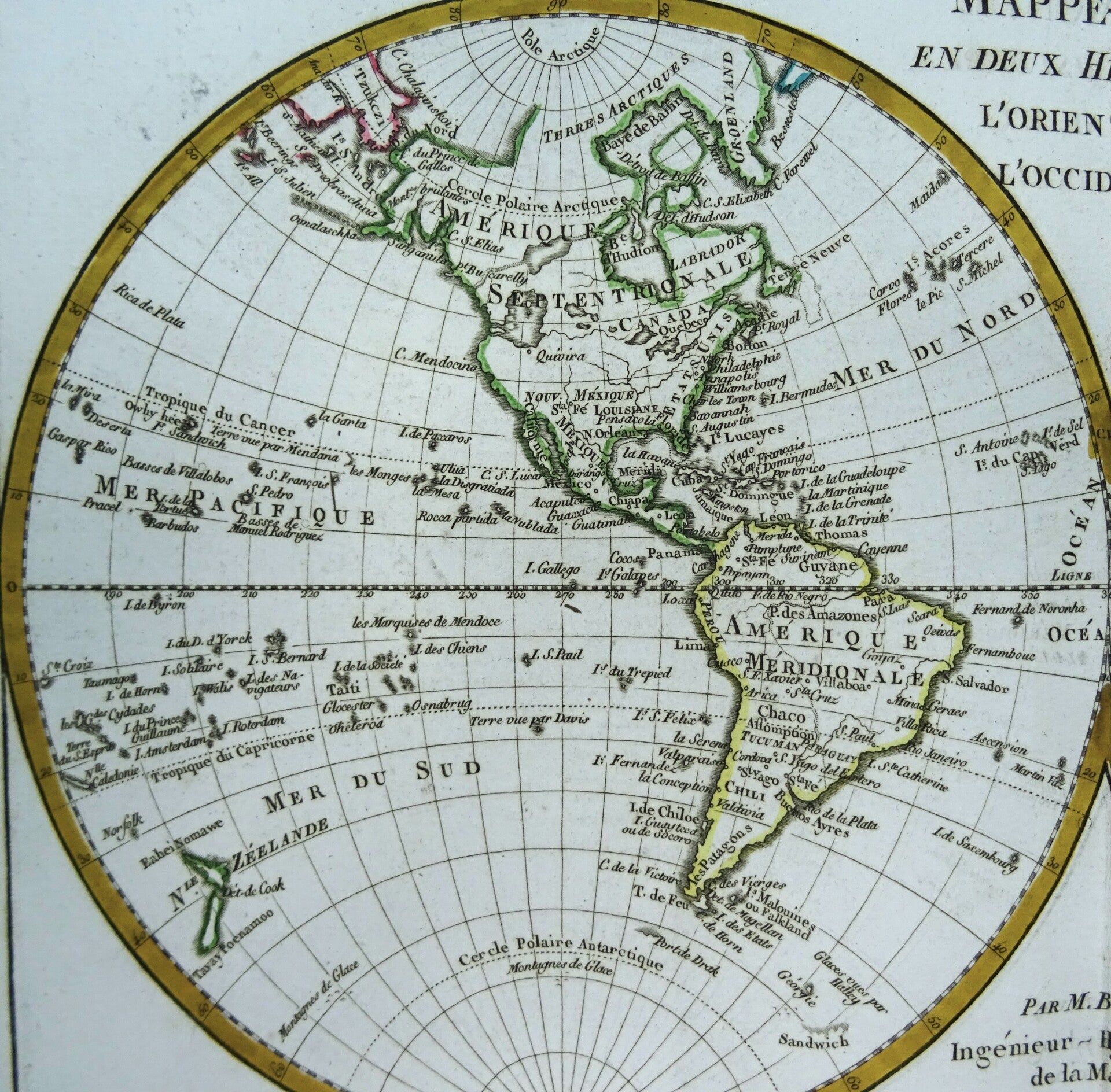
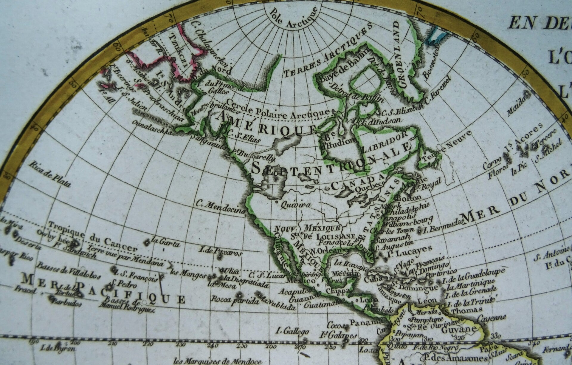
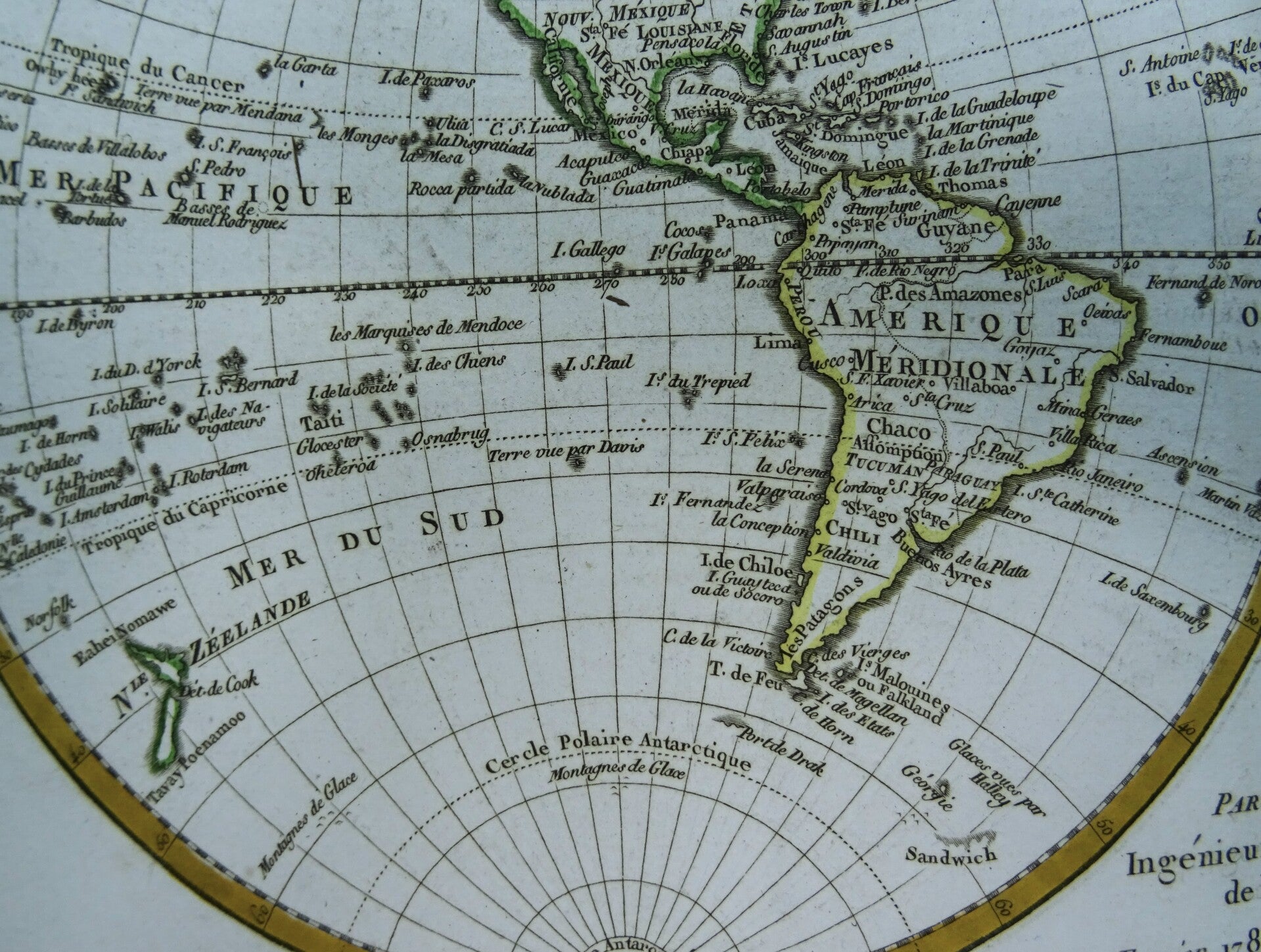
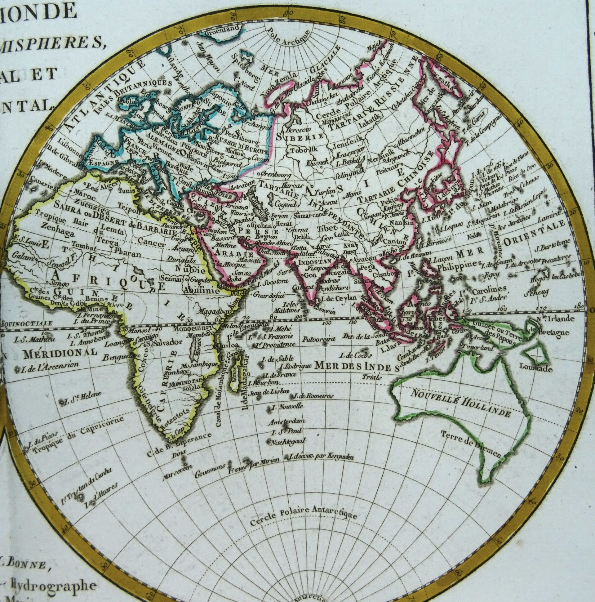
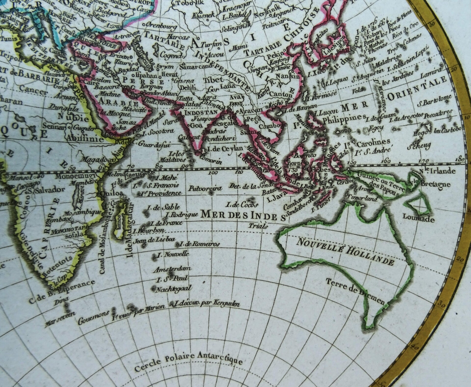
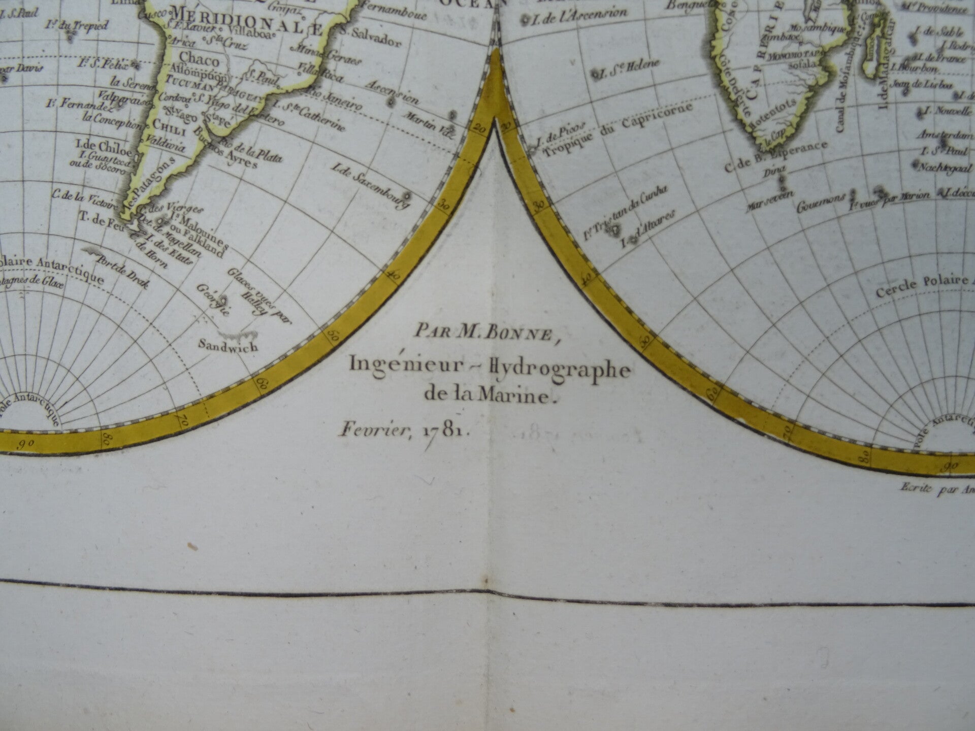
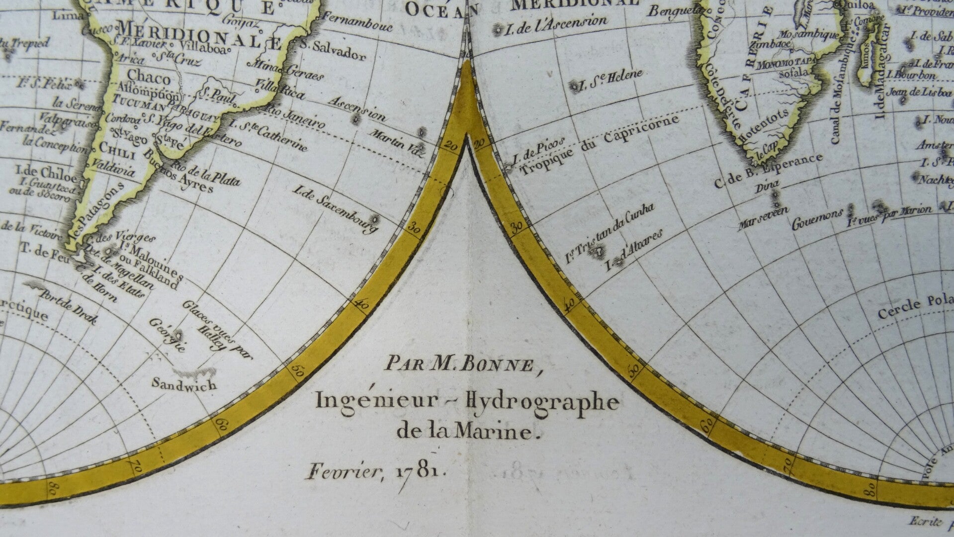
Double Hemisphere Map of the World, exhibiting the recent discoveries of Captain James Cook, the map is dated 1781.
Curiously, the map retains a very distinctive image of the Sea of the West, one of the myths which was dispelled by Cook. It also shows an imaginary Northwest Passage from the Hudson Bay to the Pacific Ocean. Curious projections of both Australia and New Zealand.
Made by R. Bonne, Paris.Rigobert Bonne (1727-1794) was an influential French cartographer of the late-eighteenth century. Born in the Lorraine region of France, Bonne came to Paris to study and practice cartography. He was a skilled cartographer and hydrographer and succeeded Jacques Nicolas Bellin as Royal Hydrographer at the Depot de la Marine in 1773. He published many charts for the Depot, including some of those for the Atlas Maritime of 1762. In addition to his work at the Depot, he is best known for his work on the maps of the Atlas Encyclopedique (1788) which he did with Nicholas Desmarest. He also made the maps for the Abbe Raynals’ famous Atlas de Toutes Les Parties Connues du Globe Terrestre (1780).
Excellent condition. Original outline coloring. Thick paper. Clear print. Reverse side blank.
Image 21x33cm, sheet 27x39cm