

France, Dombes, Lyon, Macon, Bourg-en-Bresse, W. & J. Blaeu, 1635, La Souverainete de Dombes
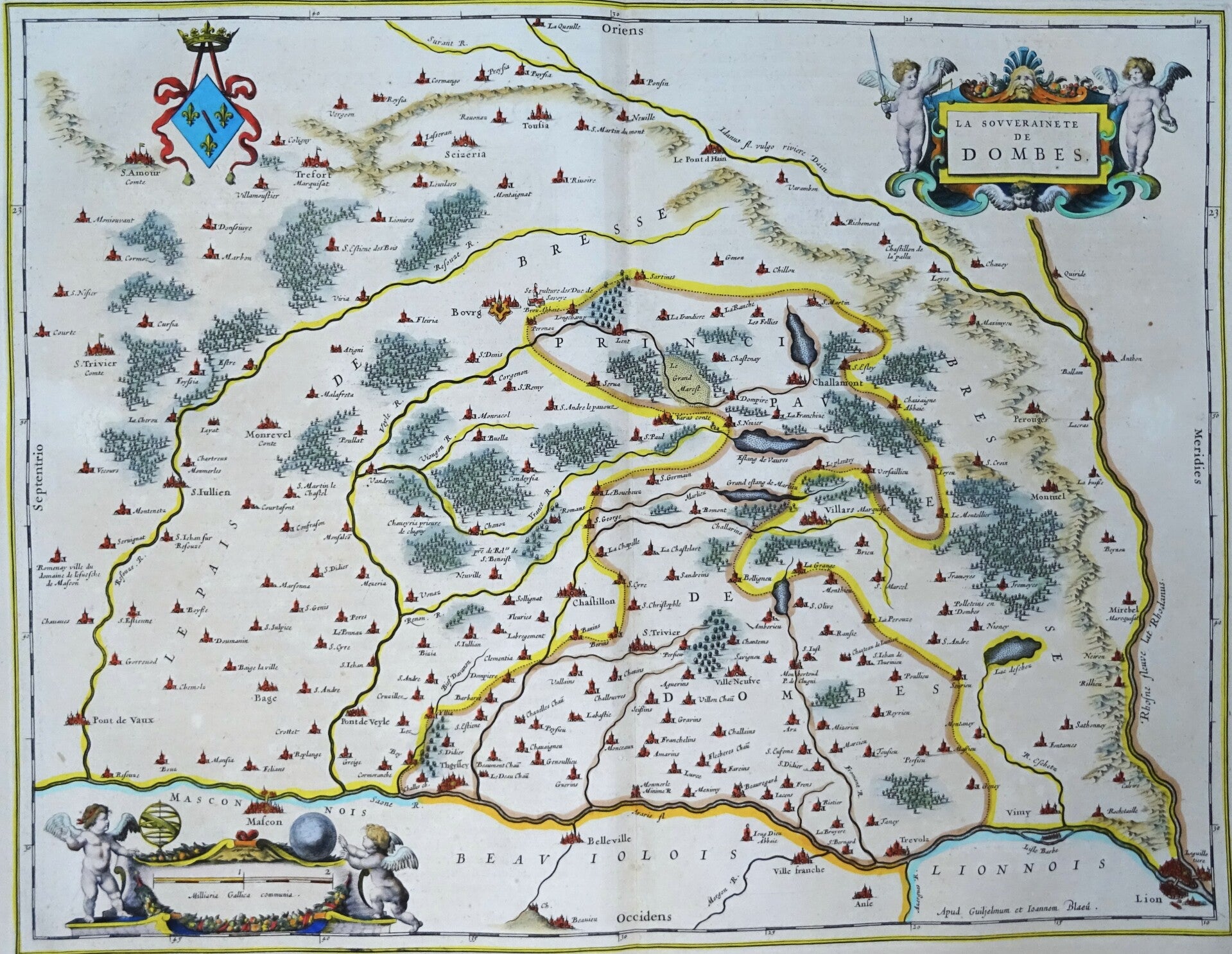
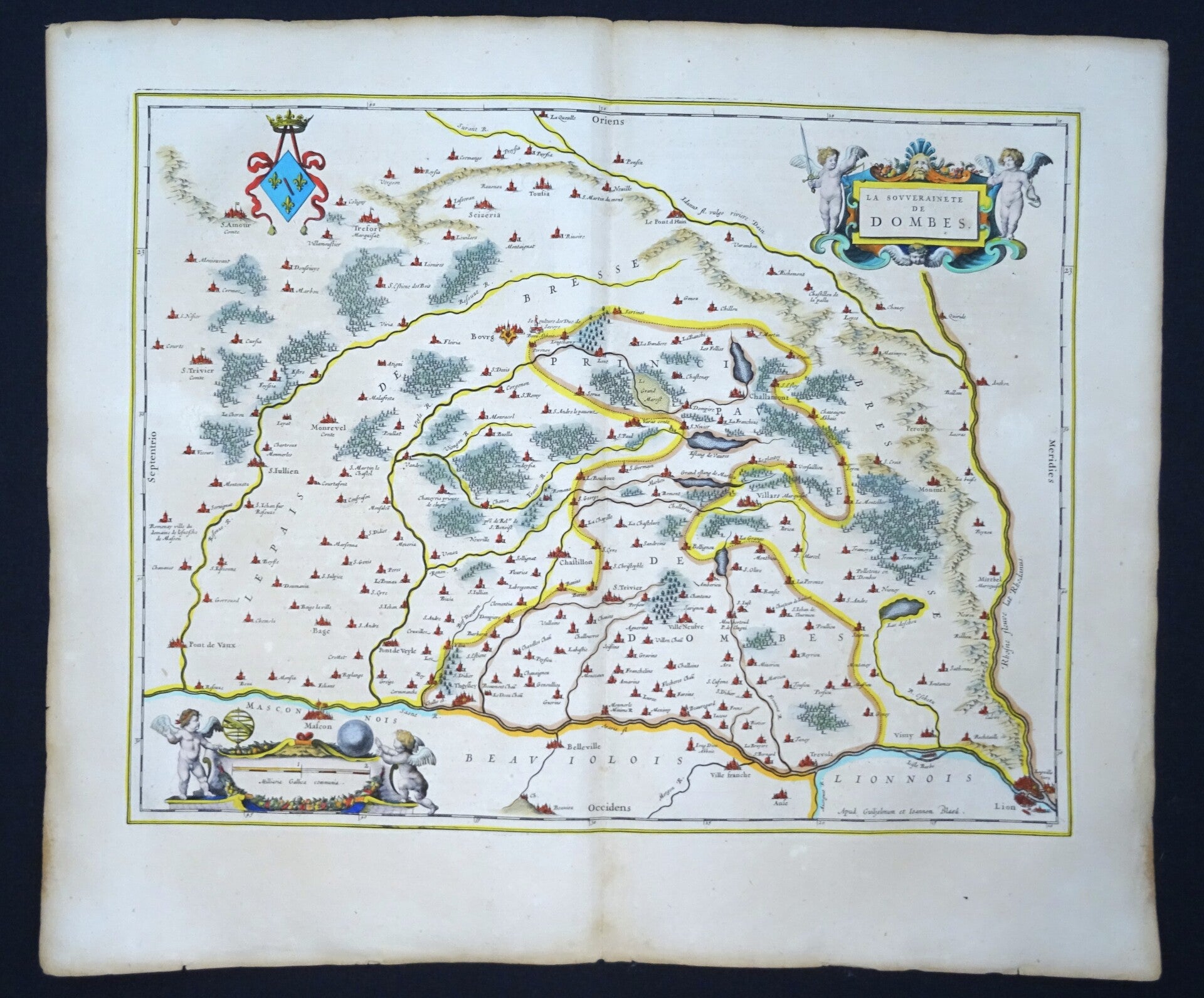
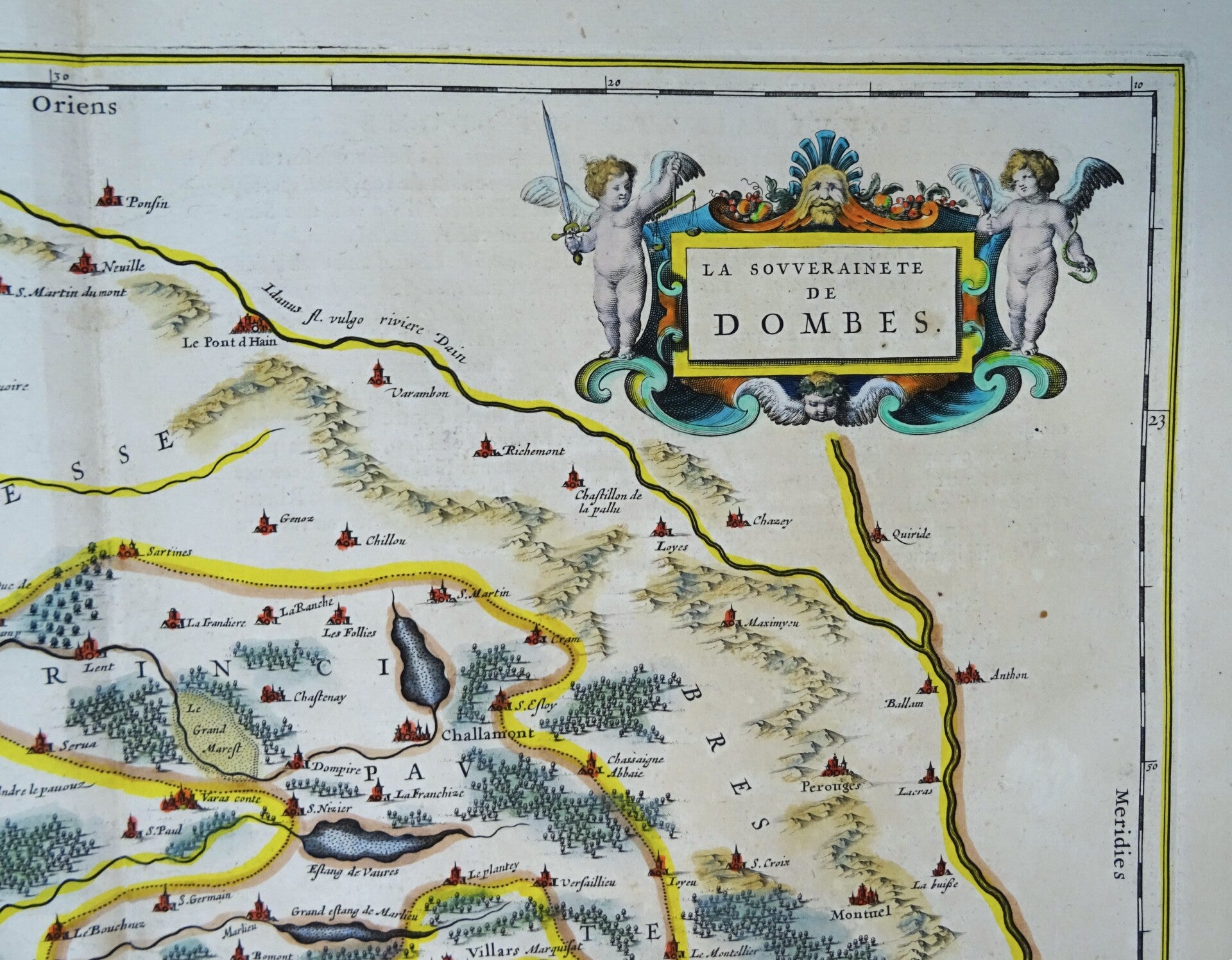
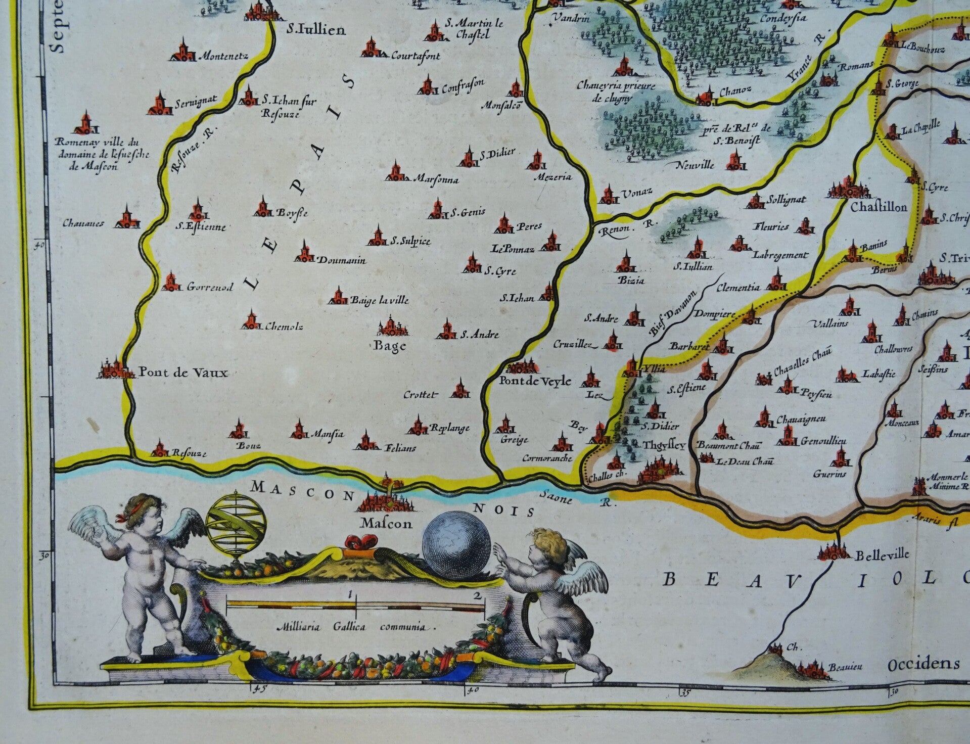
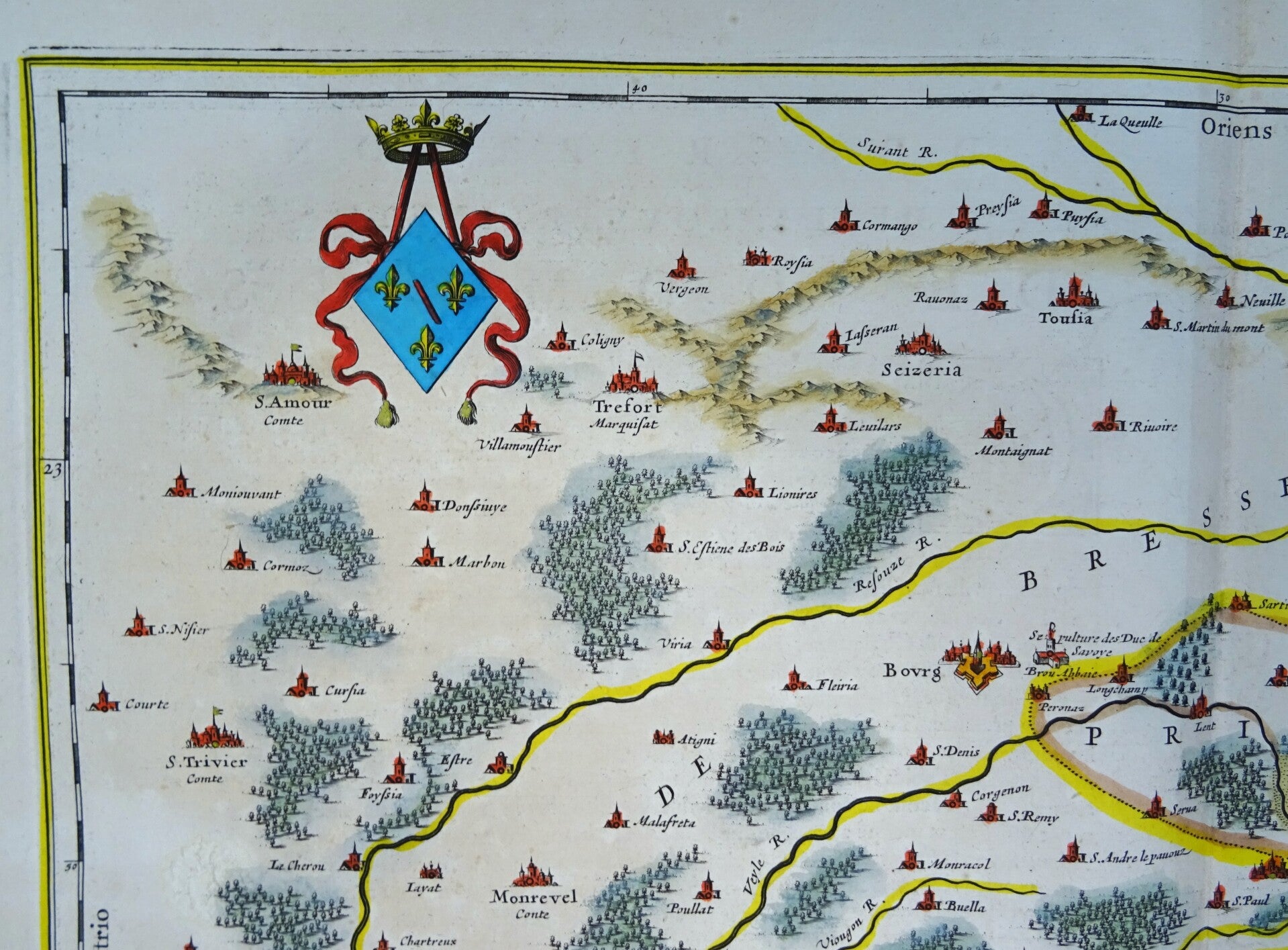
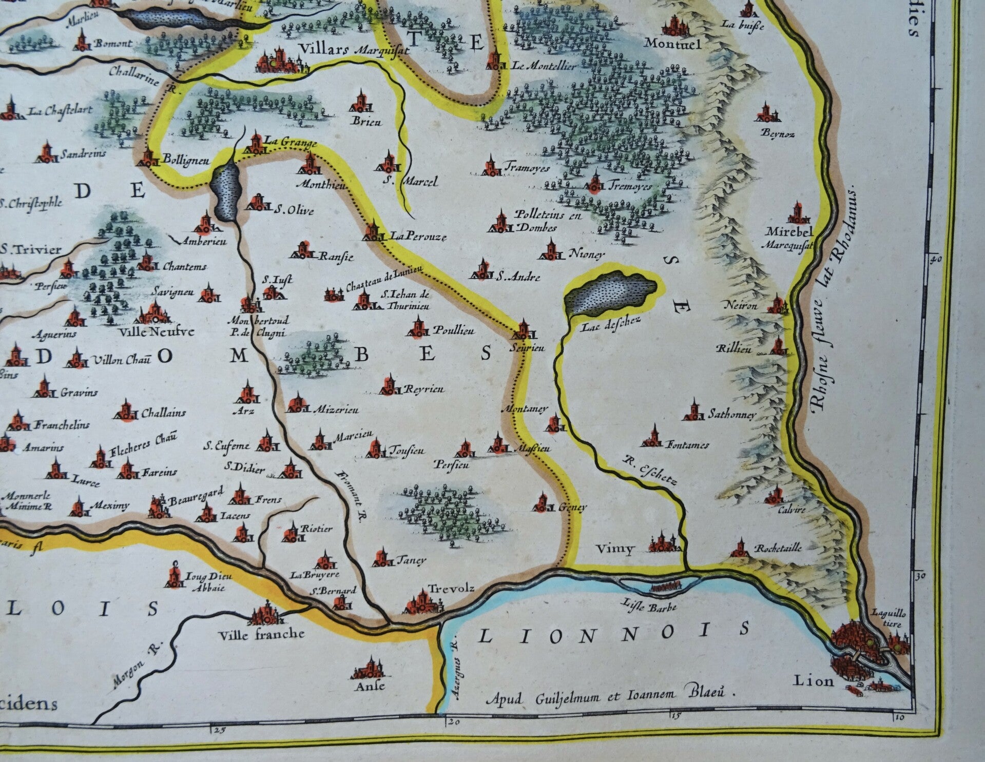
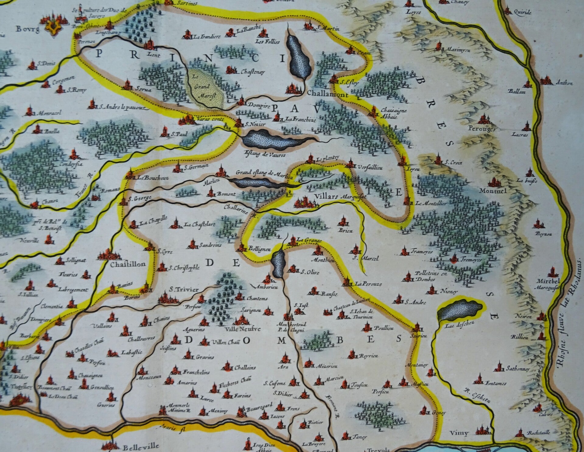
First edition of the map of the Dombes region, north of Lyon, drawn by W. and J. Blaeu. Oriented north-south, the map shows Lyon in the lower right (near the names of W. and J. Blaeu), Mâcon in the lower left, and Bourg-en-Bresse in the center.
This region was formerly known as the Principality of Dombes and lay between the Bresse region to the north and the Lyonnais region to the south.
Large folio format. Original coloring. Published in Amsterdam in the first French edition of the "Atlas Novum" (French title: Le Théâtre du Monde ou Nouvel Atlas).
References: Van der Krogt 2 - 4820:2
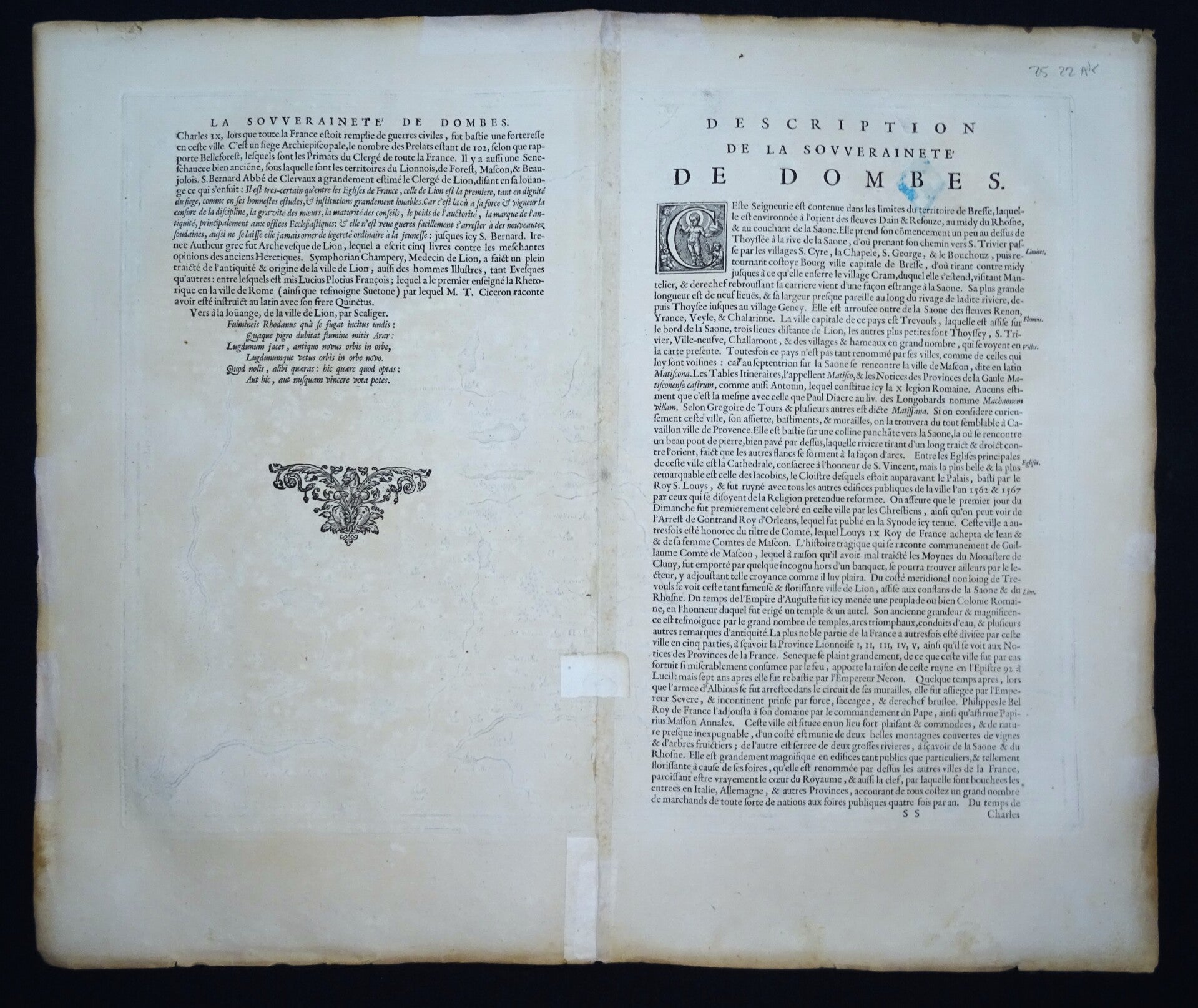
Very good condition. Two small wormholes have been filled, with no impact on the image, and there are a few minor restorations on the verso, also with no impact on the image. Otherwise, excellent condition. Thick paper, wide margins, sharp printing. Original central fold, text in French on the verso.
Image: 38 × 49.5 cm, sheet: 49 × 58 cm