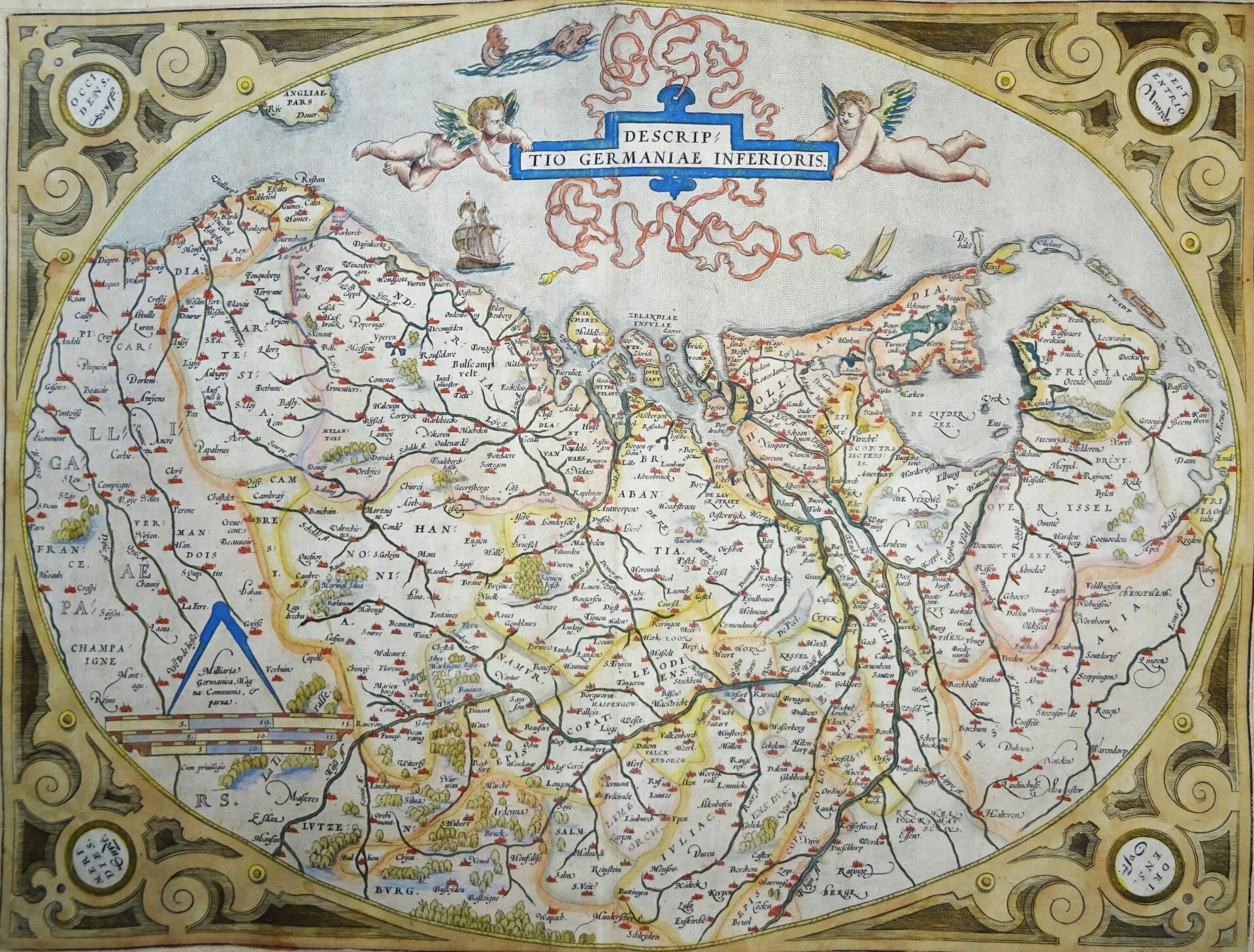
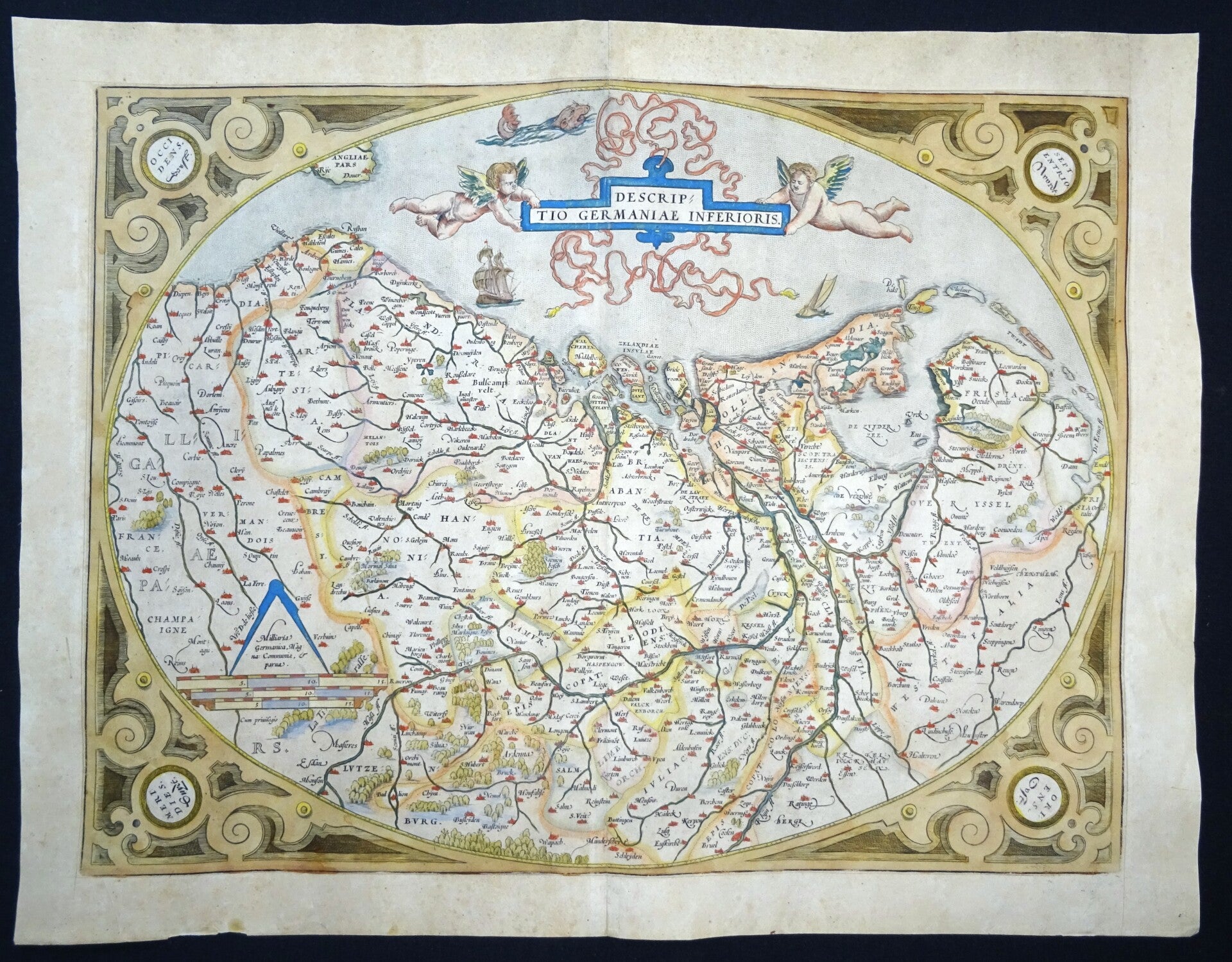
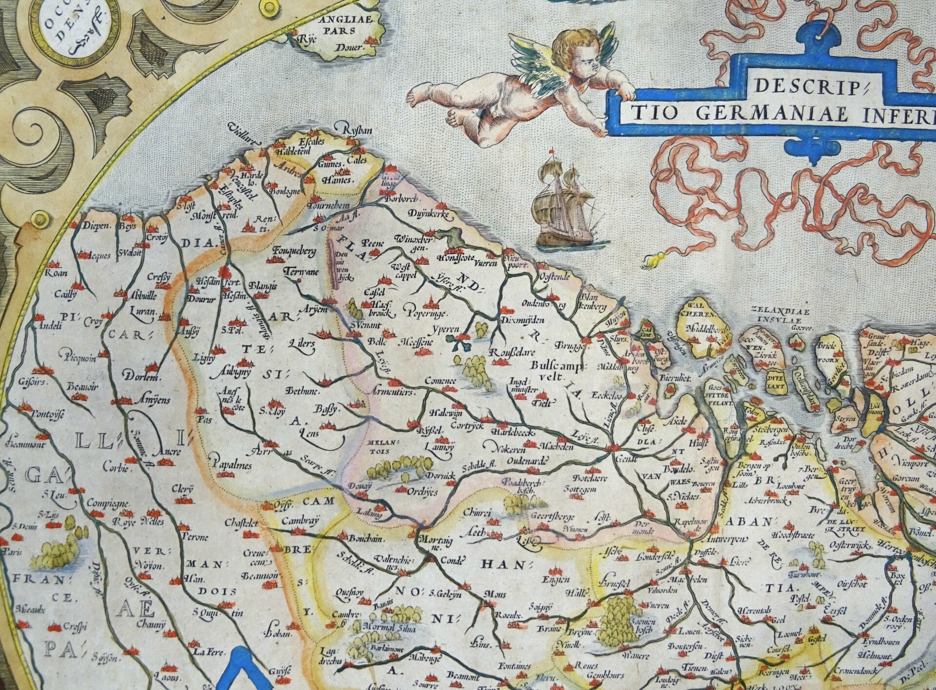
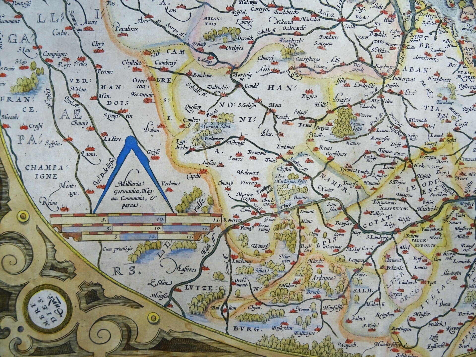
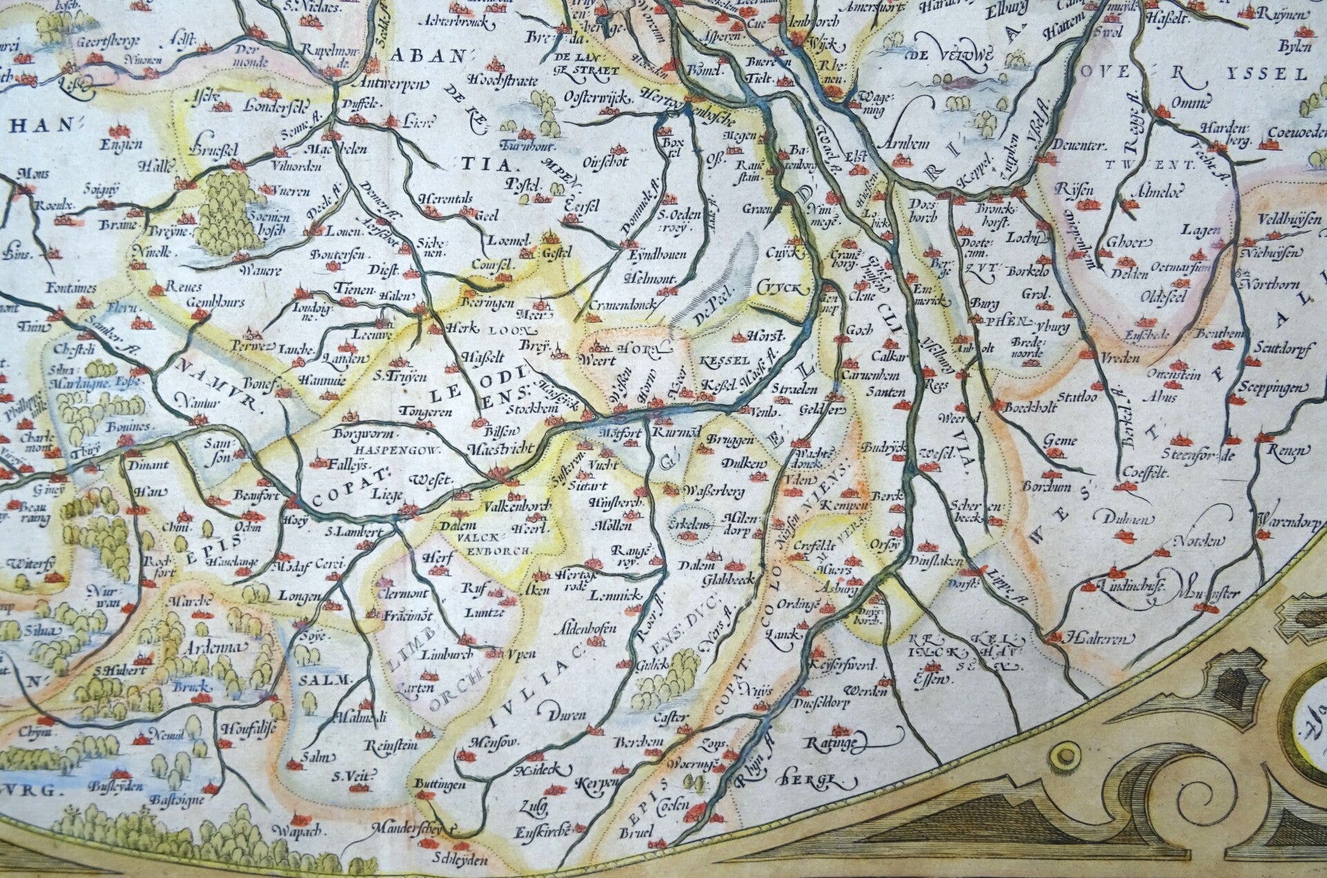
Netherlands, Belgium, Luxembourg, Ortelius, 1573, Descriptio Germaniae Inferioris.
€399.00
Item number:
26 5
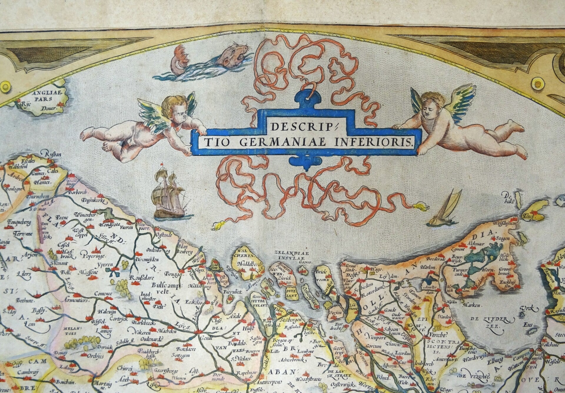
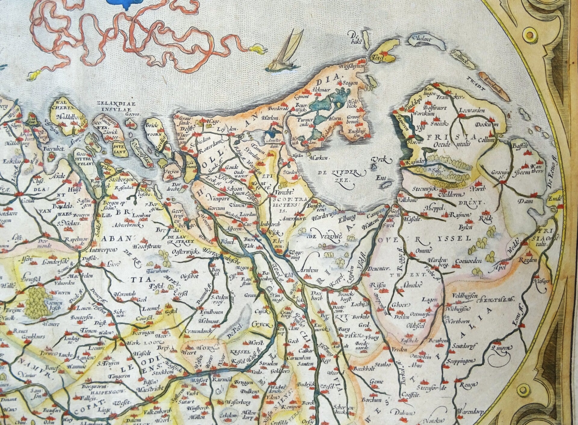
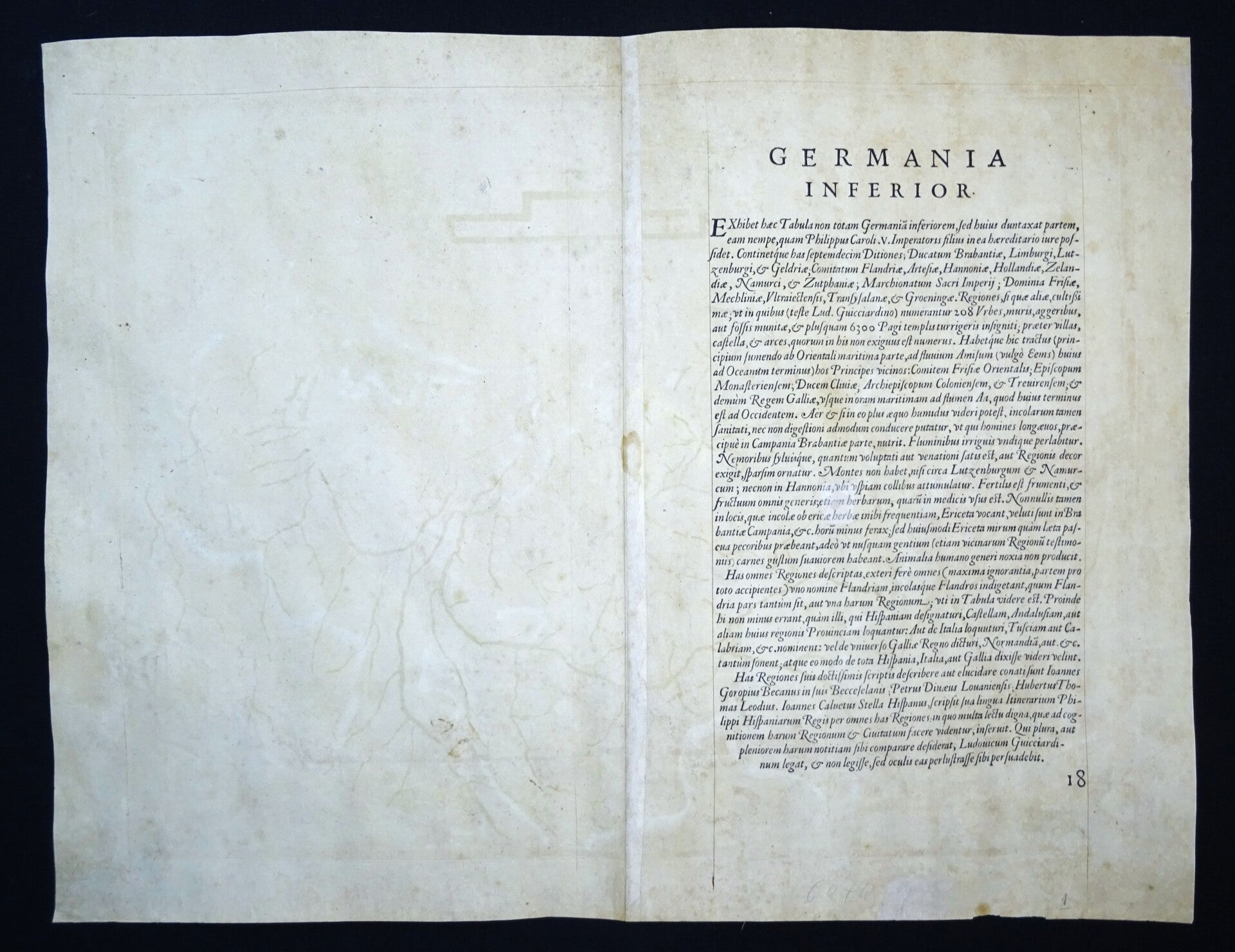
Old coloured antique map of the Low Countries with the Netherlands and Belgium by Abraham Ortelius. Orientation with the North to the right. Shows the area from The Hague to Cologne and from Emden to Paris. Above a title band held by two putti. In an ornate decorative border, with a mileage scale, two sailing ships and a sea monster. From the early edition of the Theatrum Orbis Terrarum of 1573 (only 75 copies printed). Latin text on verso.
According to P. Meurer based on de Jode's 12 sheet map of 1566, itself based primarily on Jacob van Deventer's province maps.
Reference: Van den Broecke, 175.
Excellent condition
Image 36x50cm, sheet 44x57cm