France, Paris, Île-de-France, J. Blaeu / De Templeux, 1650, Le Gouvernement de L'Isle de France


€139.00
Item number:
25 21 CP
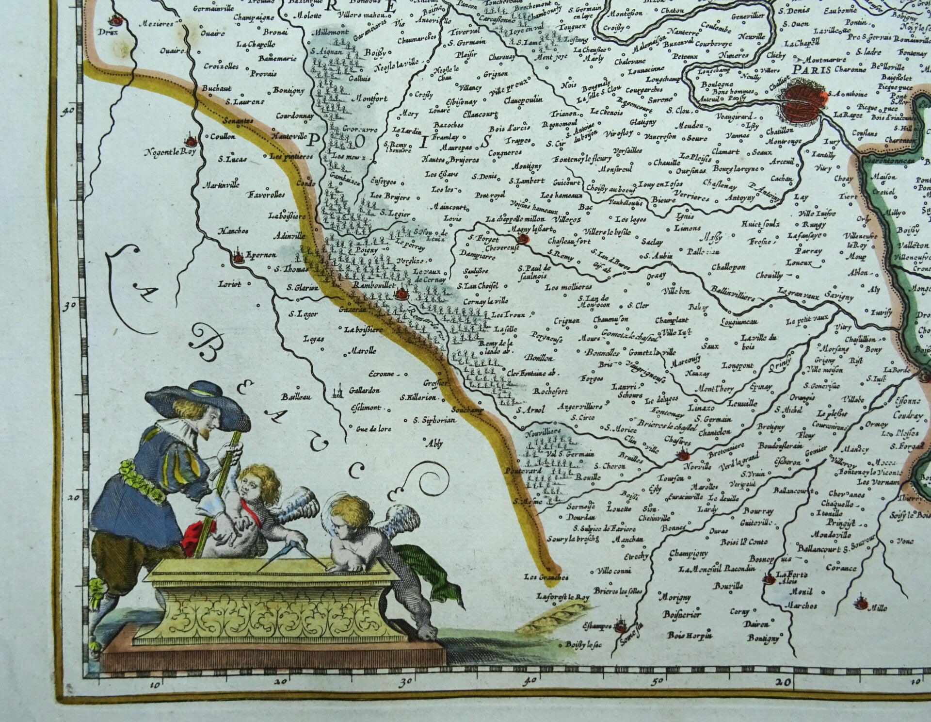
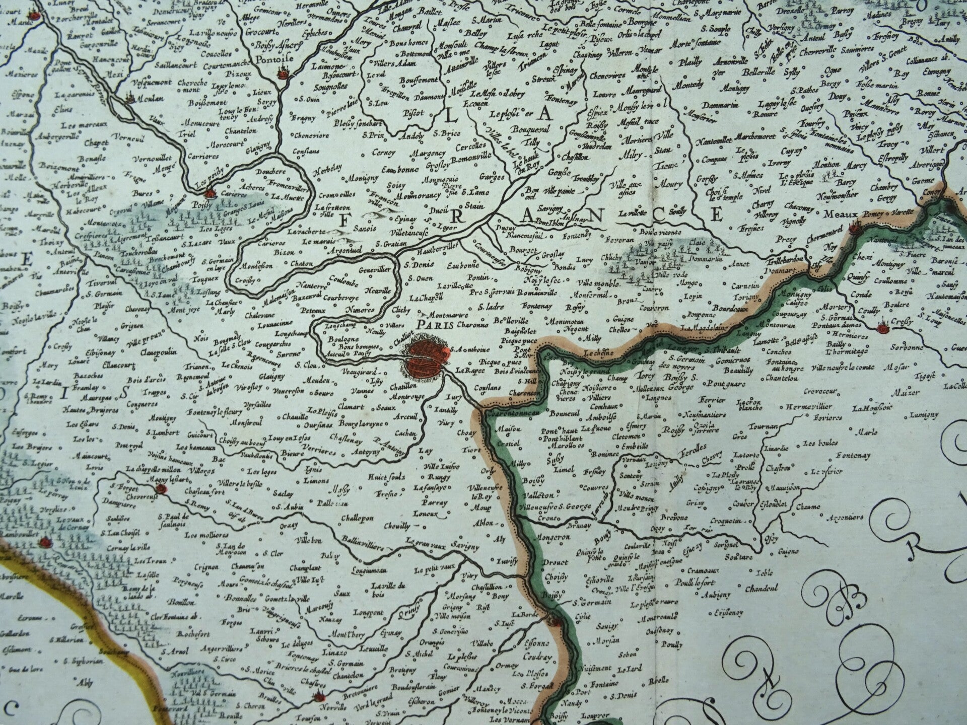
Lovely large folio sized map of the region of Île-de-France around the city of Paris, decorated with delightful title cartouche, mile stick and several coats of arms. The North (Luxembourg) is towards the right. The map identifies important towns, fortifications, rivers, vineyards and villages throughout with beautifully rendered mountains and forests.
First published in this format by Johan Blaeu around 1650, based on the map of De Templeux. This edition, without text on the back, is published around 1680.
Very good condition. Clear print. Very wide margins. Nice hand coloring. Reverse side blank.
Image 41x51cm, sheet 53,5x64cm