Indonesia, Java, Madura, Bali... Janssonius, 1657, Insulae Iavae Cum parte Insularum Borneo Sumatrae….


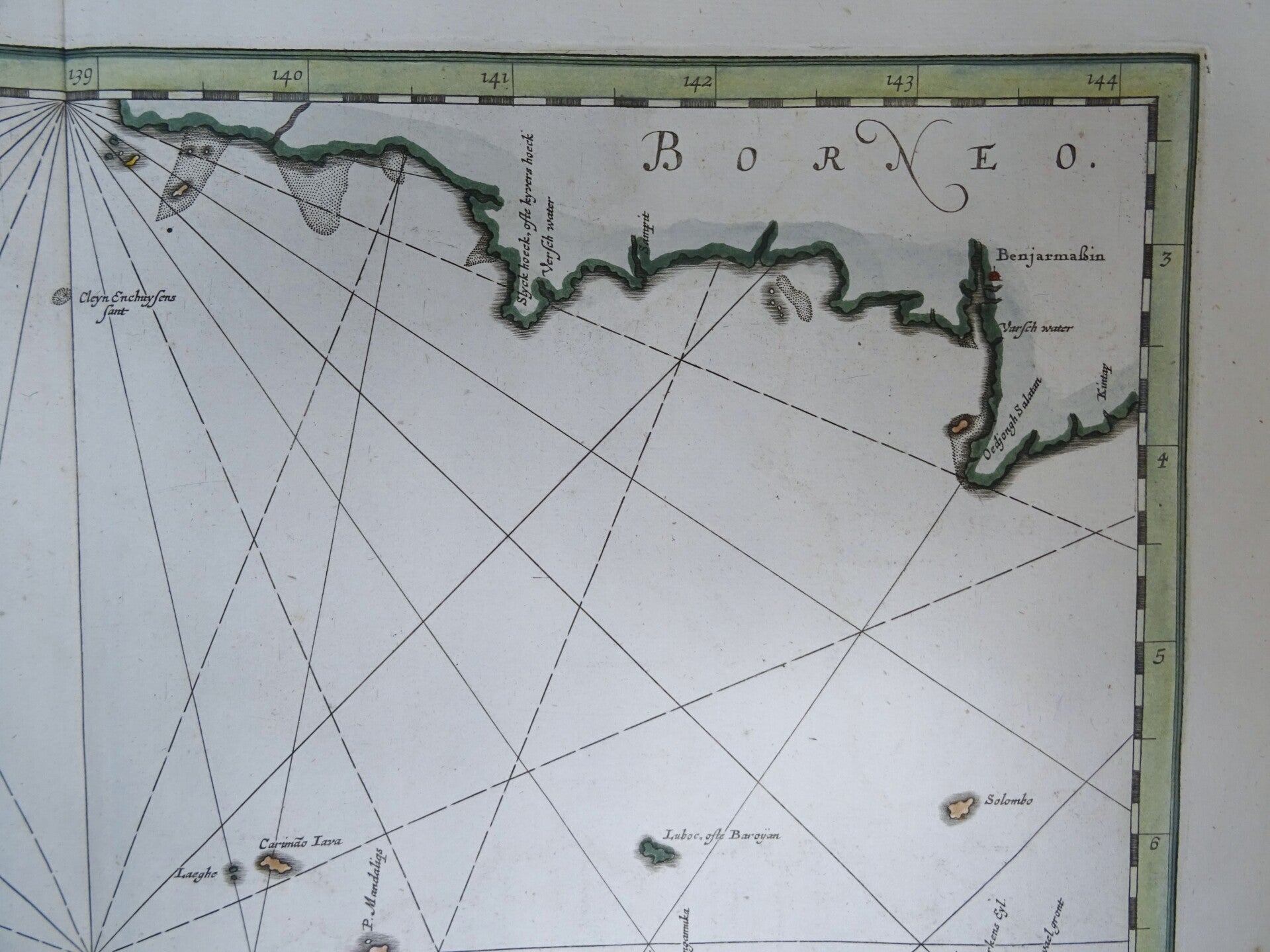


Very rare large folio sized nautical chart of Java by Janssonius, published in 1657 in Amsterdam in his famous and rare´Atlantis Maioris quinta pars, orbem maritimum... ´ that contained only nautical charts.
It shows Java and parts of Bali, Borneo, Sumatra and surrounding islands in the time the Dutch were still building their colonial empire through the Verenigde Oostindische Compagnie (V.O.C.), a private enterprise.
This elegant chart focuses on the island of Java with parts of Sumatra, Borneo and Bali. The lack of interior detail correctly reflects the state of knowledge of the period and the fact this was primiarly intended to be a sea chart.
The Dutch capital in the East Indies is located at Batavia (Jakarta) where a small fort is shown. The beautiful chart is richly embellished with two fine cartouches featuring natives and Chinese merchants flanking the title and Neptune and mermaids surrounding the scale of miles.
References: Van der Krogt 1 - 8510:1
Excellent condition. Very clean and crip paper, clear print, wide margins. Central fold (as published).
Image 42x52cm, sheet 53,5x62cm