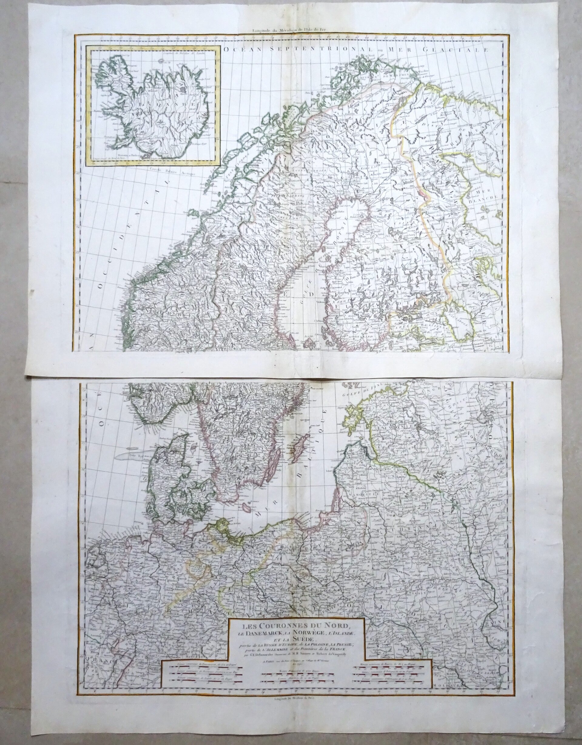
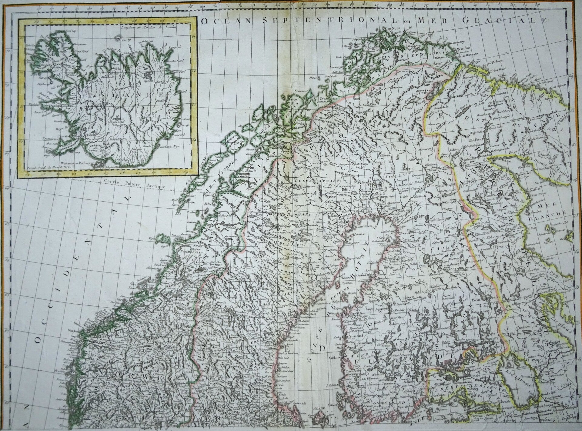
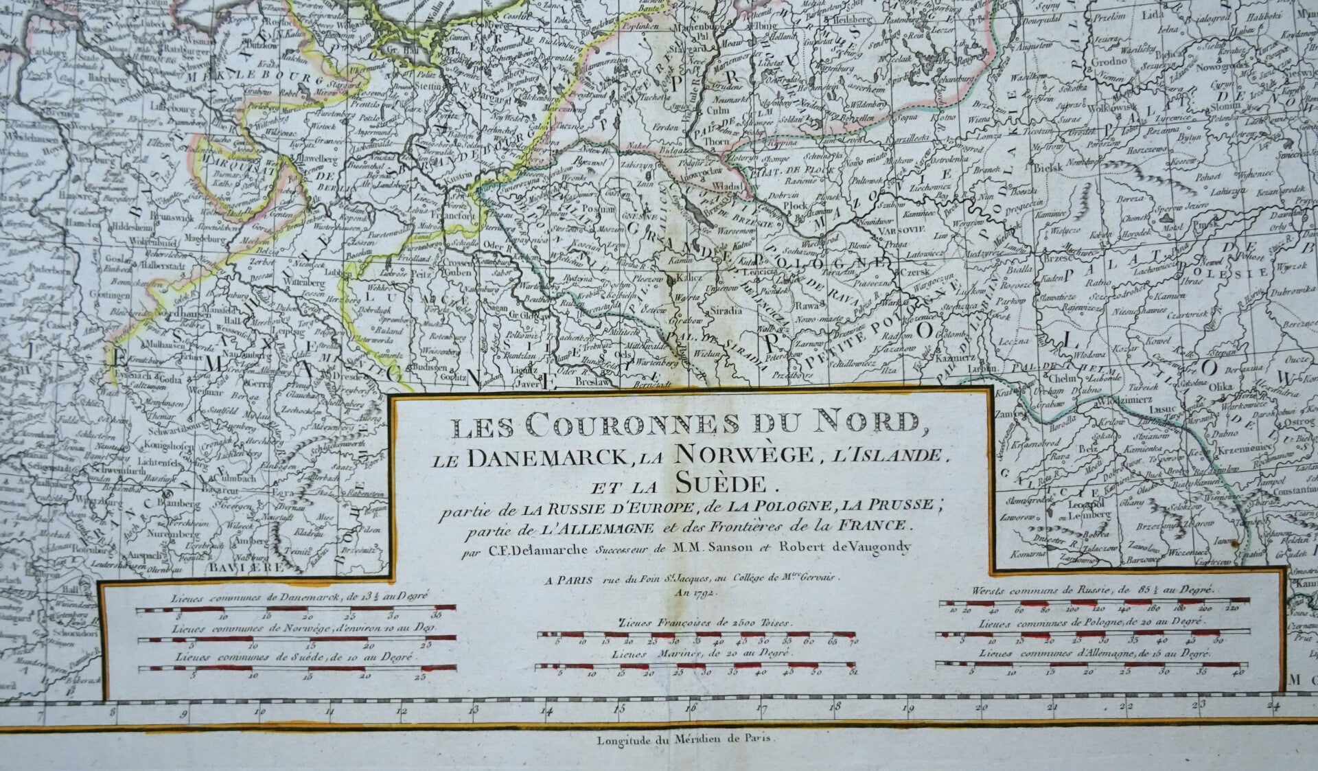
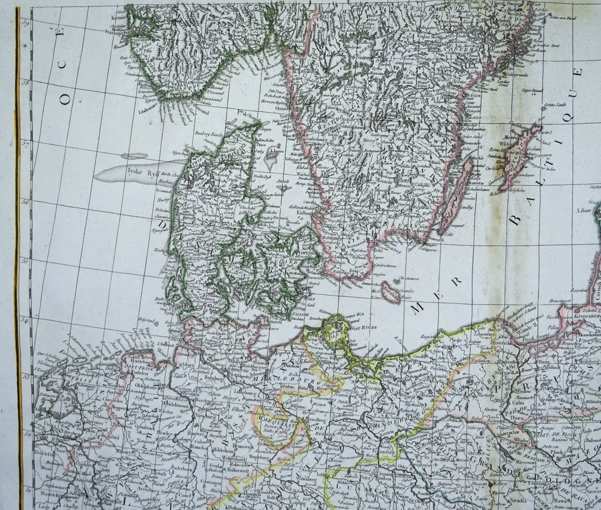
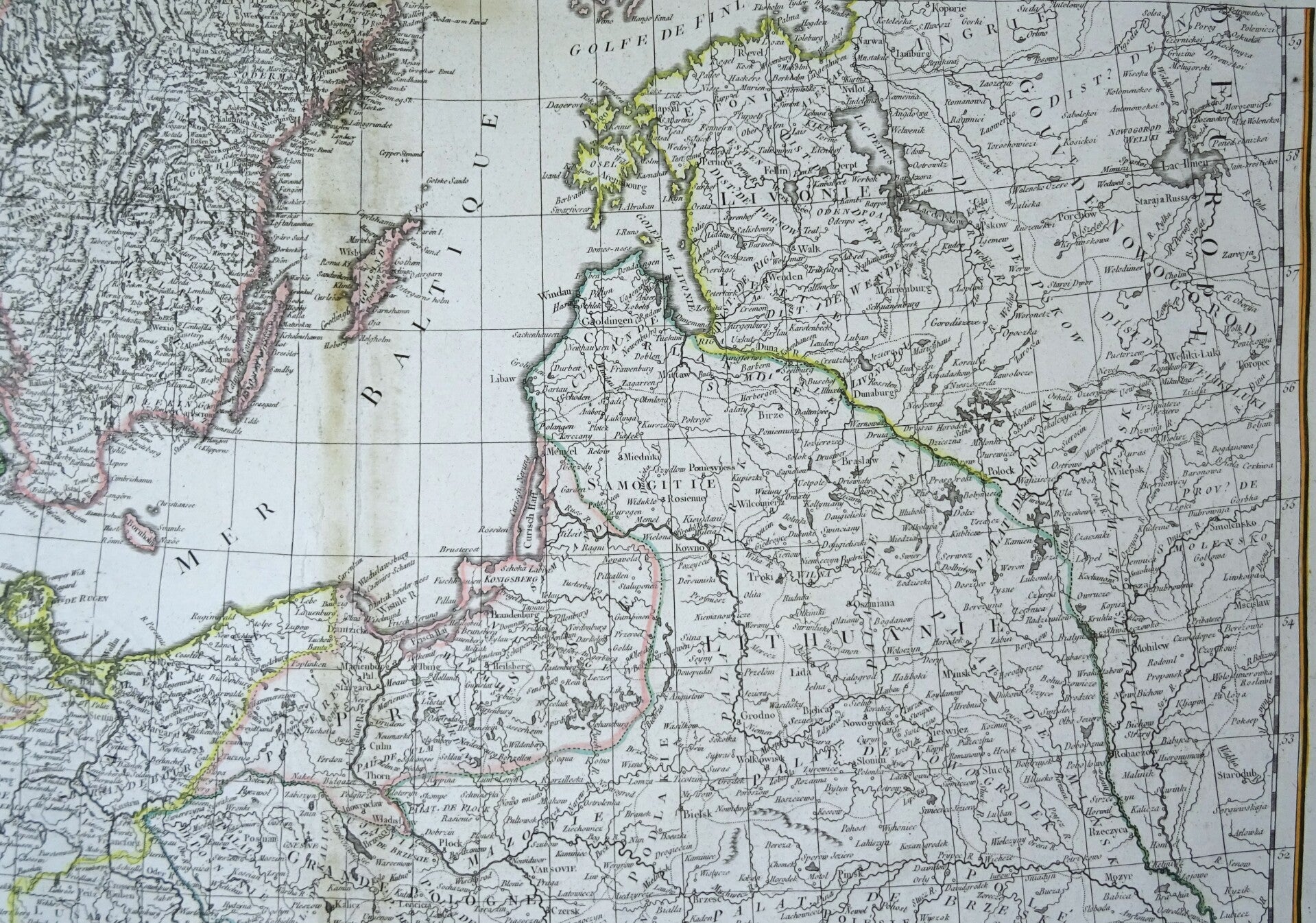
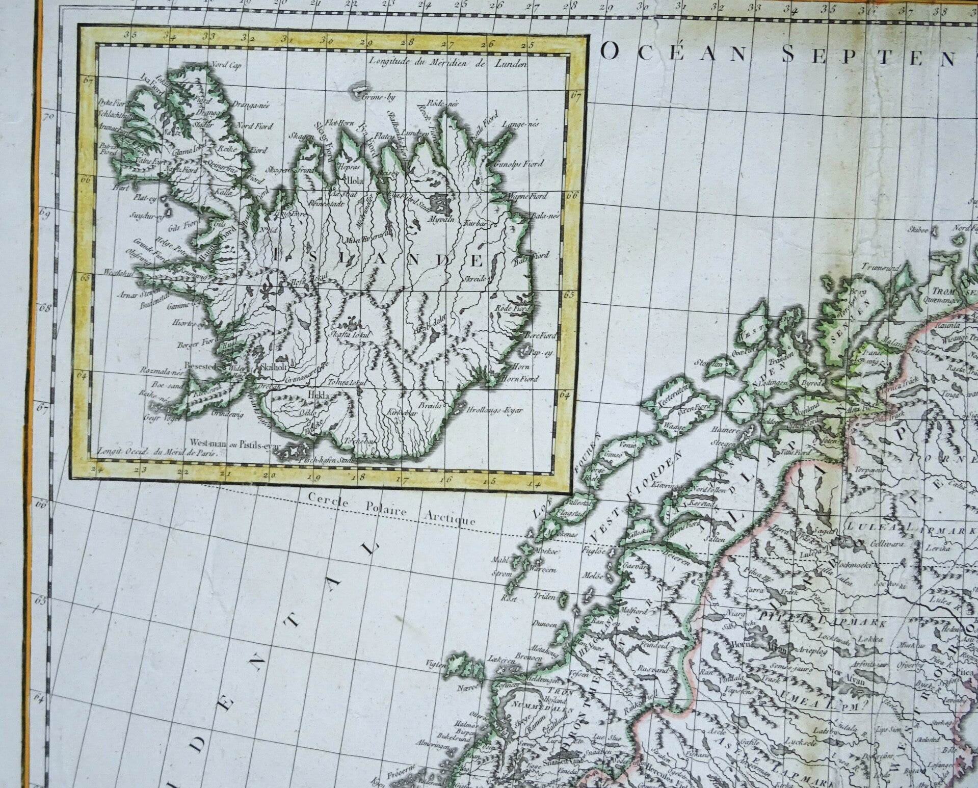
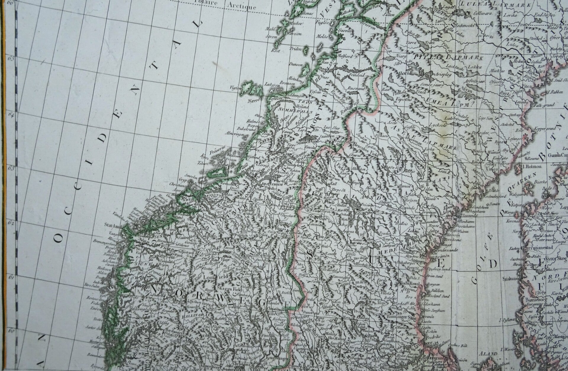
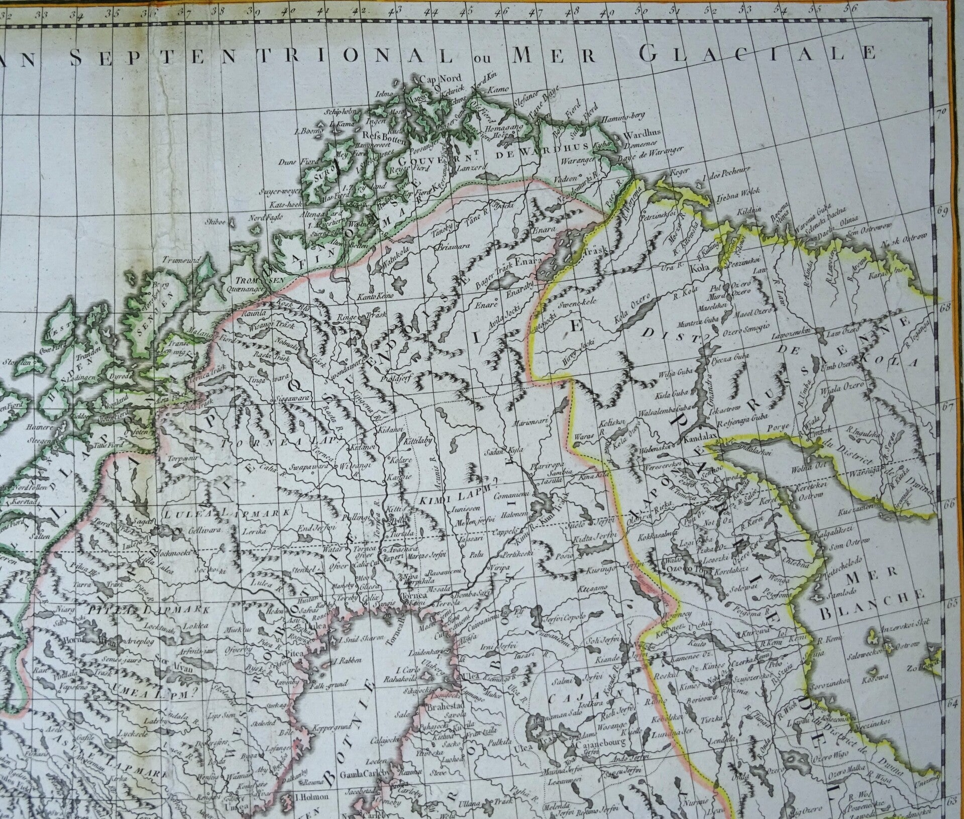
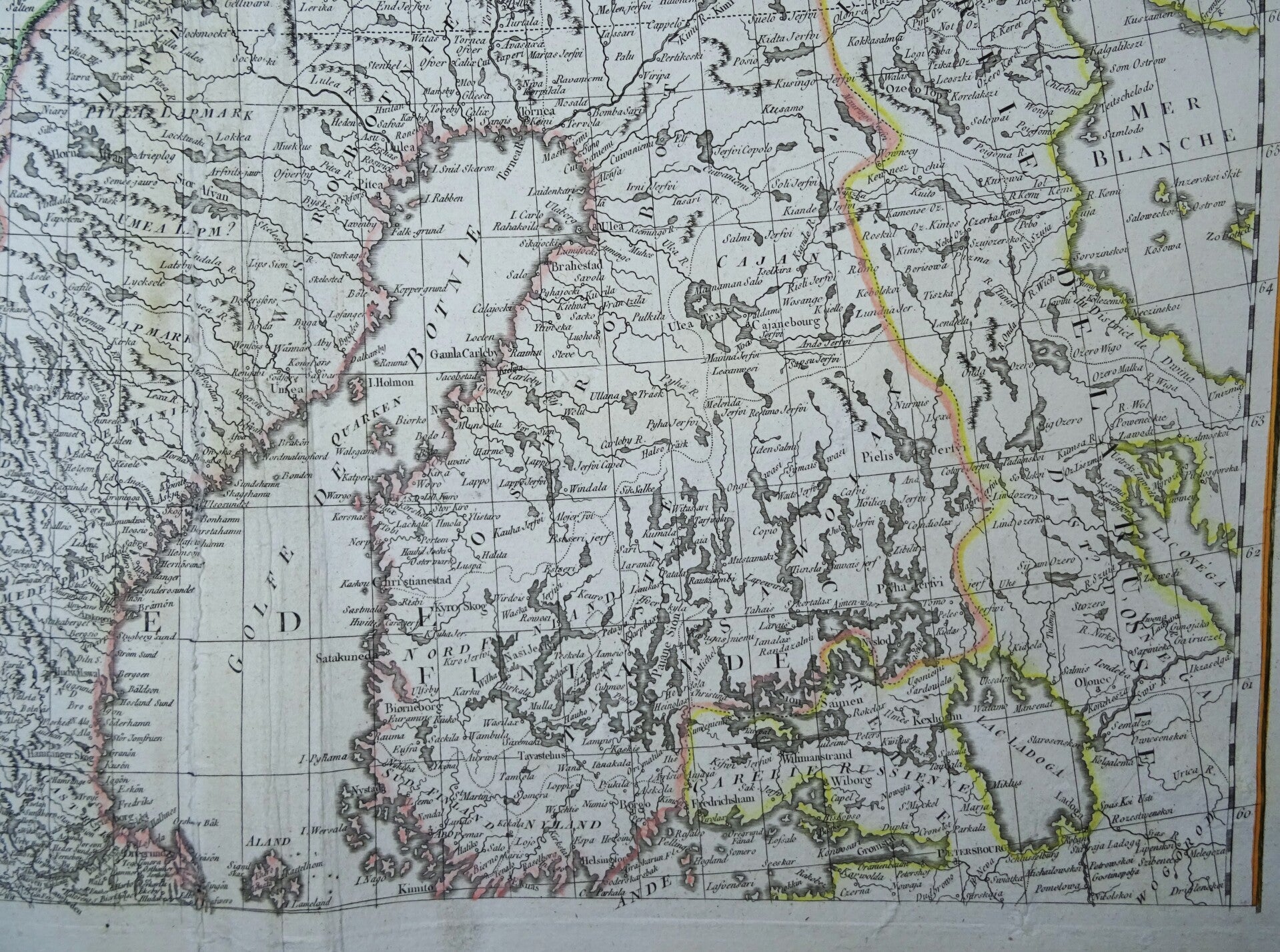
Scandinavia, Baltic States - Extra large map Delamarche / De Vaugondy, 1798, Les Couronnes du Nord, le Danemarck, la Norwège, l'Islande, et la Suède. Romano


€189.00
Item number:
24 13 BQ
Very large map of Scandinavia and the Baltic States, with an inset map of Iceland, printed on two large folio sized late 18th century copper engraved sheets.
The map is based on the work of Sanson, made originally by Robert de Vaugondy around 1750 and published in this edition in Paris by Delamarche in 1798.
Lot of 2 items.
Good condition. Some minor repairs in the margins. Light age browning in the central fold. Otherwise very good. Thick, strong paper with wide margins. Clear print and beautiful original hand coloring.
Images 48x58cm, pages each 55x76cm