Netherlands, The Hague R. Boitet, 1730, Afbeelding van s´ Gravenhage na een aftekening van den Jare 1560 gemaakt
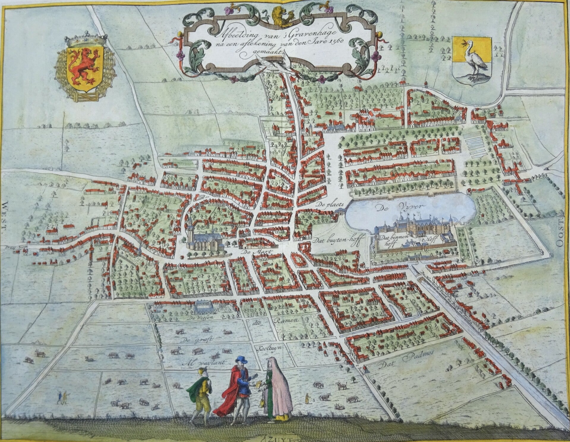

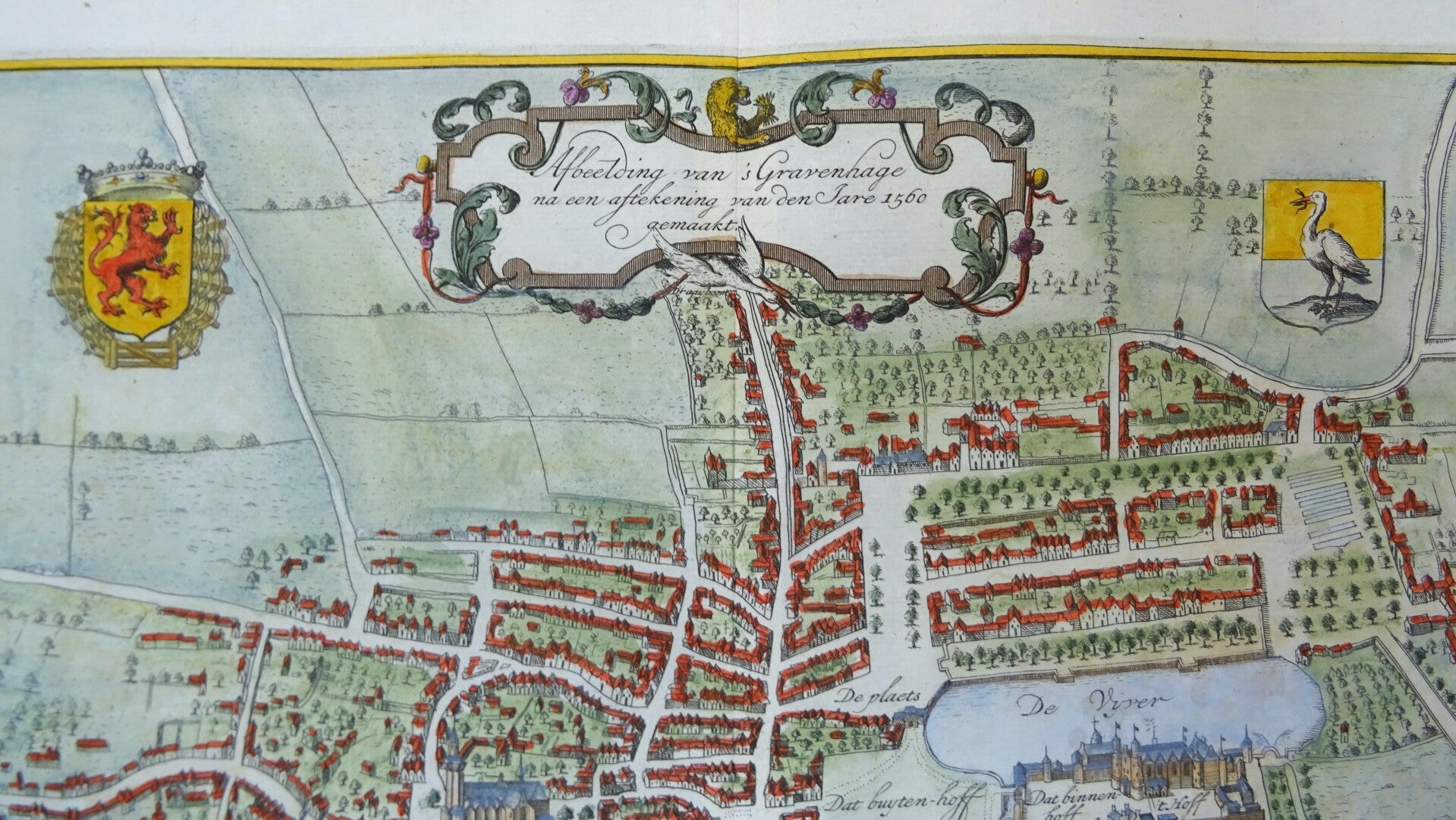
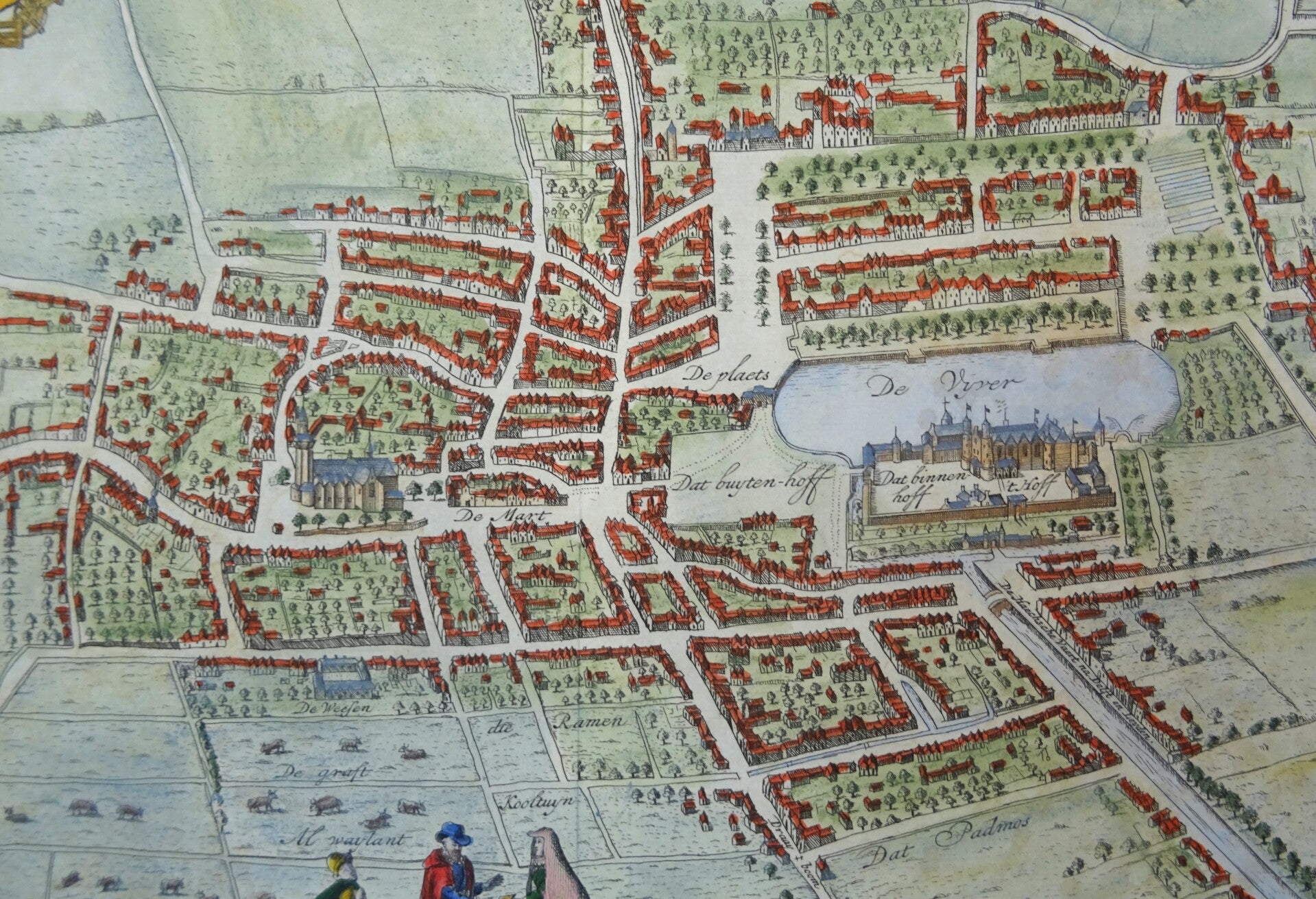
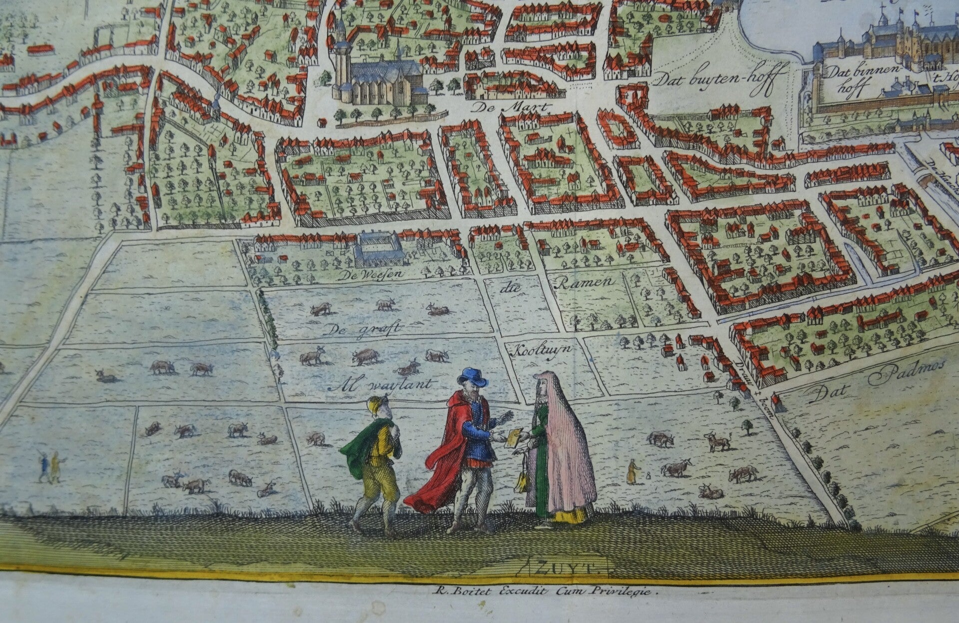
Nice detailed town plan, decorated with coats of arms and a title cartouche, of the city of The Hague as it was in 1560. The map is made by Boitet in 1730 and based on the map of L. Guicciardini from the 16th century.
The plate is from: 'Beschrijving van 's Gravenhage' (Description of The Hague), by Jacob Riemer (1676-1762), published in Delft by Reinier Boitet, 1730.
The book contains many beautiful engravings of important buildings, churches, monasteries, estates, and castles in The Hague.
The plates were engraved by Gerrit van Giesen (1692-1750), Jan Caspar Phillips (1700-1765), and F. v. Bleyswyck. Published by Reinier Boitet (1680-1750).
Very good condition, very thick paper and a very clear print. Folded as published. Very wide margins. Clean paper.
Image 25x32cm, page 32x37,5cm