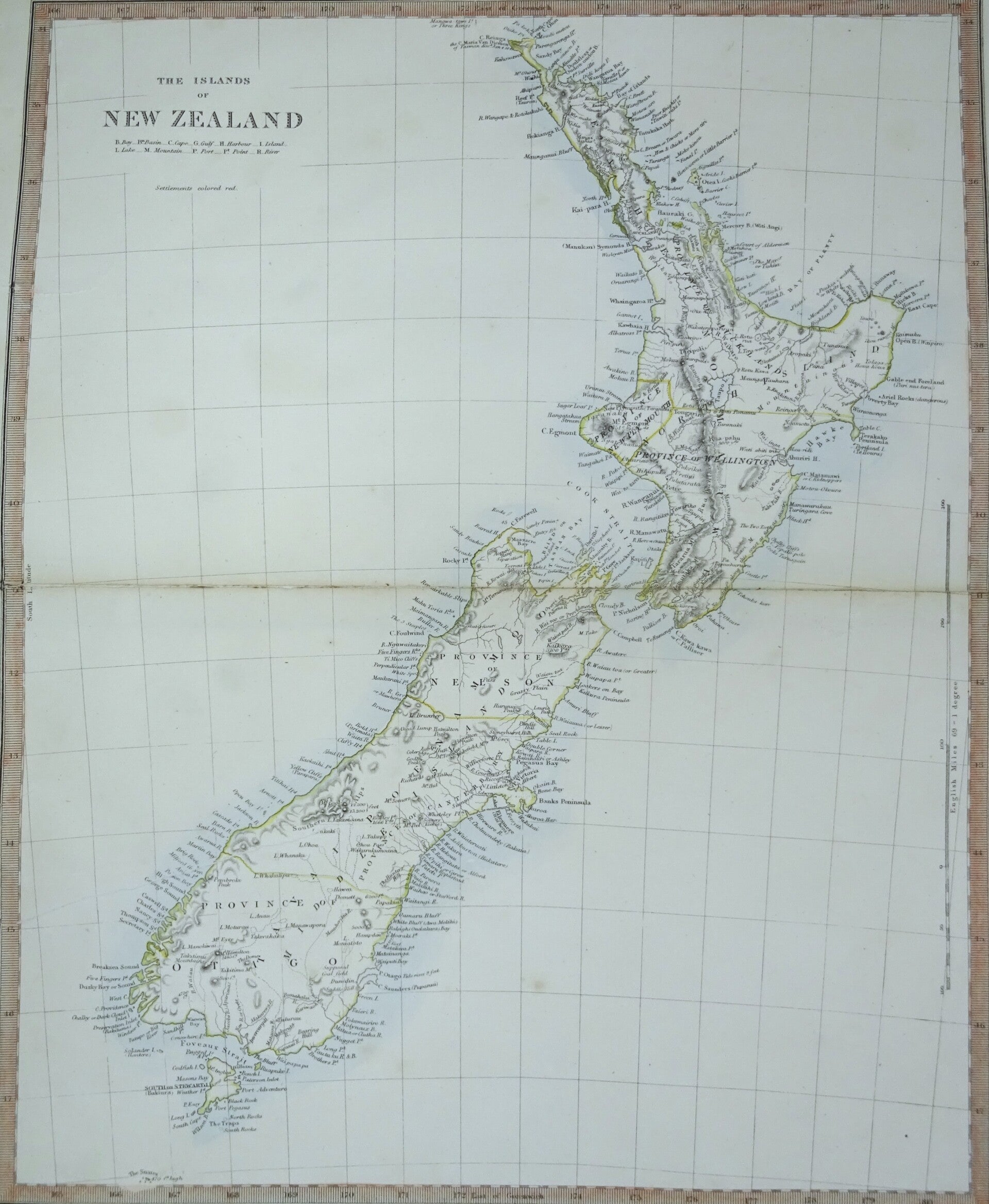
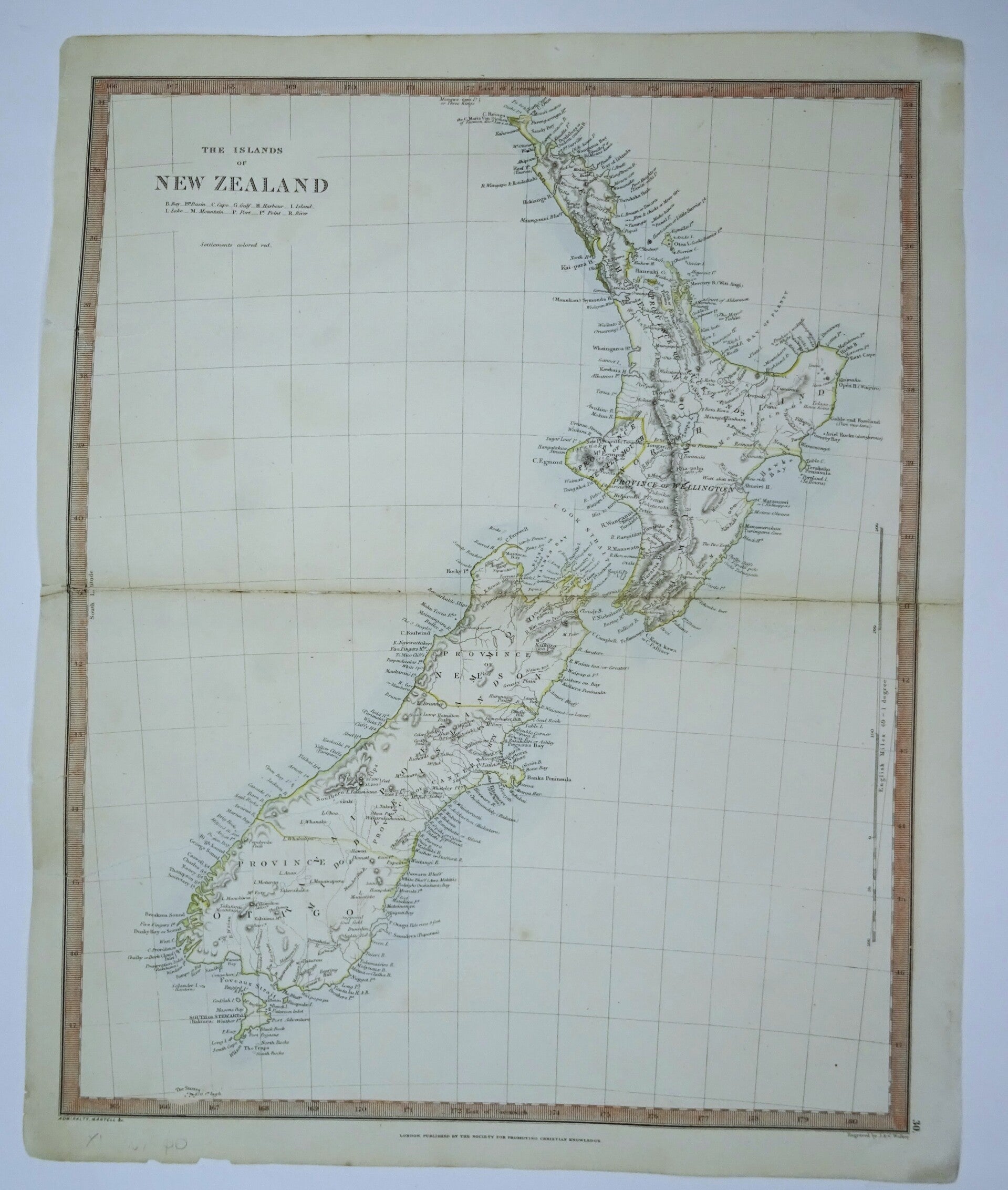
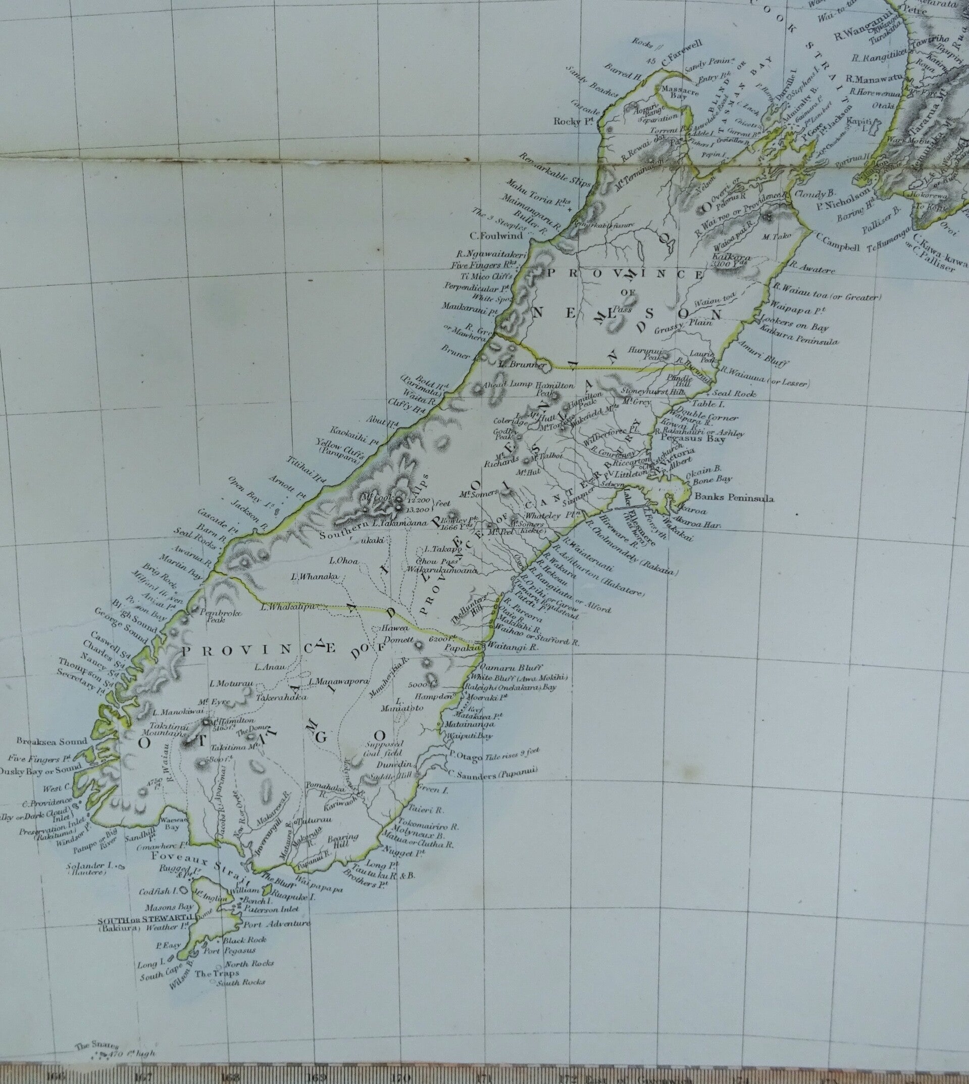
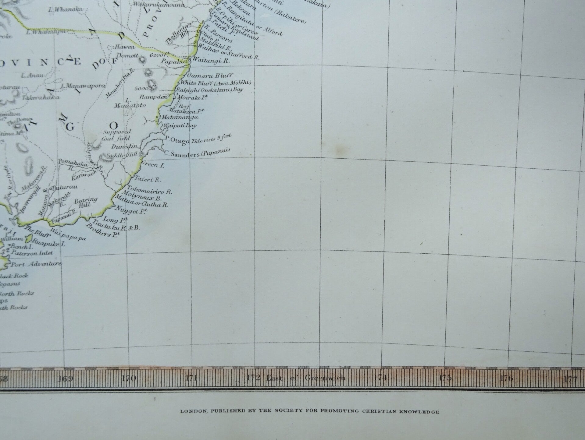
New Zealand, map by Walker/SPCK, 1860, The Islands of New Zealand
Sale!


Item number:
25 1 B
An interesting and detailed 19th century steel engraved map of New Zealand which was engraved by J. & C. Walker and ‘published under the Superintendence of the Society for Promoting Christian Knowledge’ (London: S.P.C.K., 1838). At the time of the map’s publication, New Zealand was still to be fully explored hence the sparce detail particularly in regards to the hinterland.
The map notes towns, rivers, reliefs and islands.
The map has been engraved by John & Charles Walker for The Society for Promoting Christian Knowledge (SPCK)'s Atlas.
Reasonable-good condition. Central fold repaired and slightly browned.Some small repairs in the margins. Otherwise excellent. Ample margings, original coloring
Image 39x32cm, Page 43x34,5cm