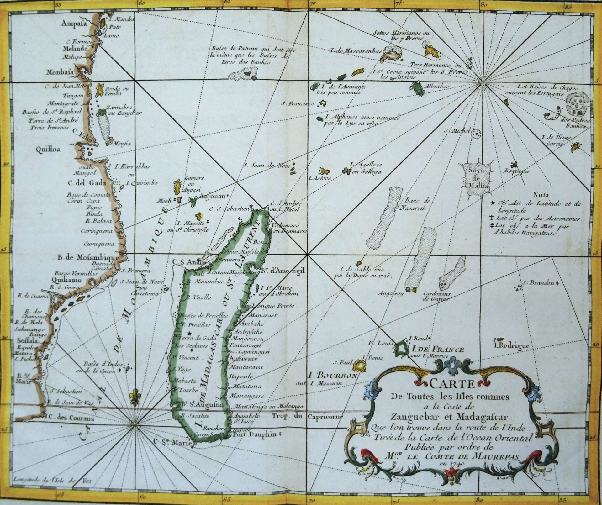
Madagascar / Mauritius / Reunión / Comores / Seychelles Bellin, 1746, Carte de Toutes les Isles Connues a la Coste de Zanguebar et Madagascar…


€79.00
Item number:
25 11 H
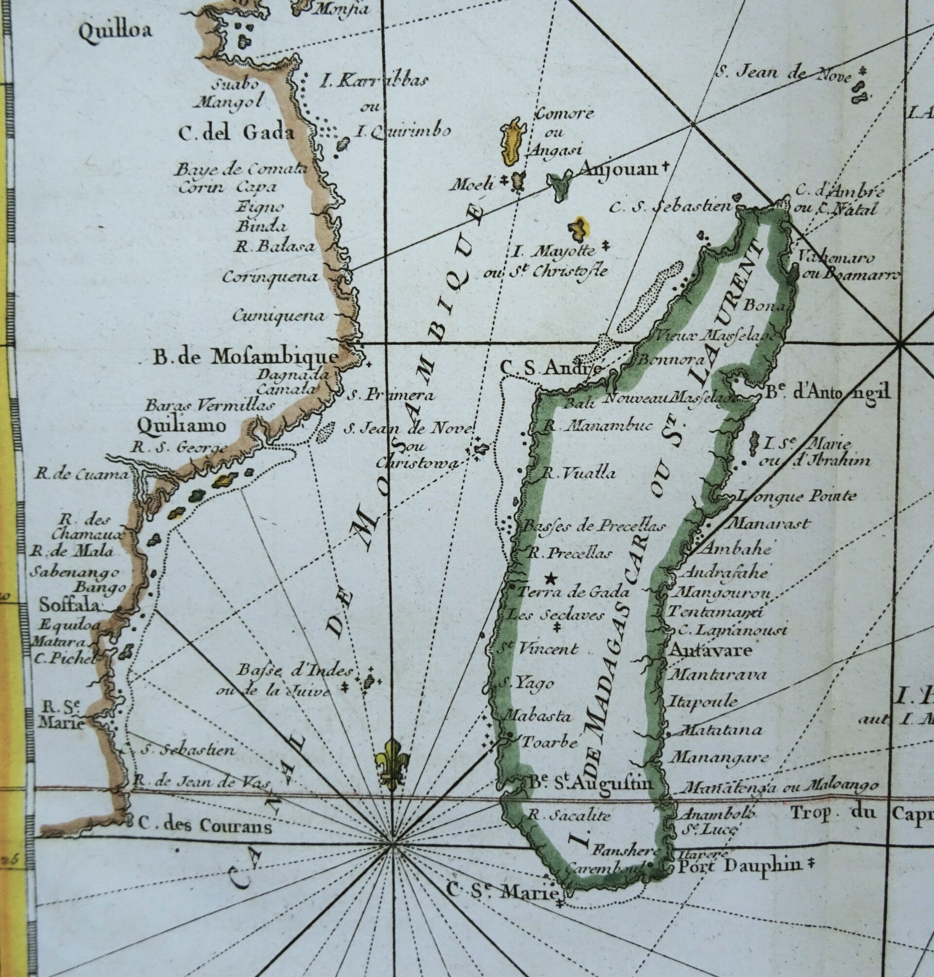
Map of the western part of the Indian Ocean. On the left, we see the coastline of East Africa between South Africa, Mozambique, Tanzania (including Zanzibar), and Kenya (Mombassa).
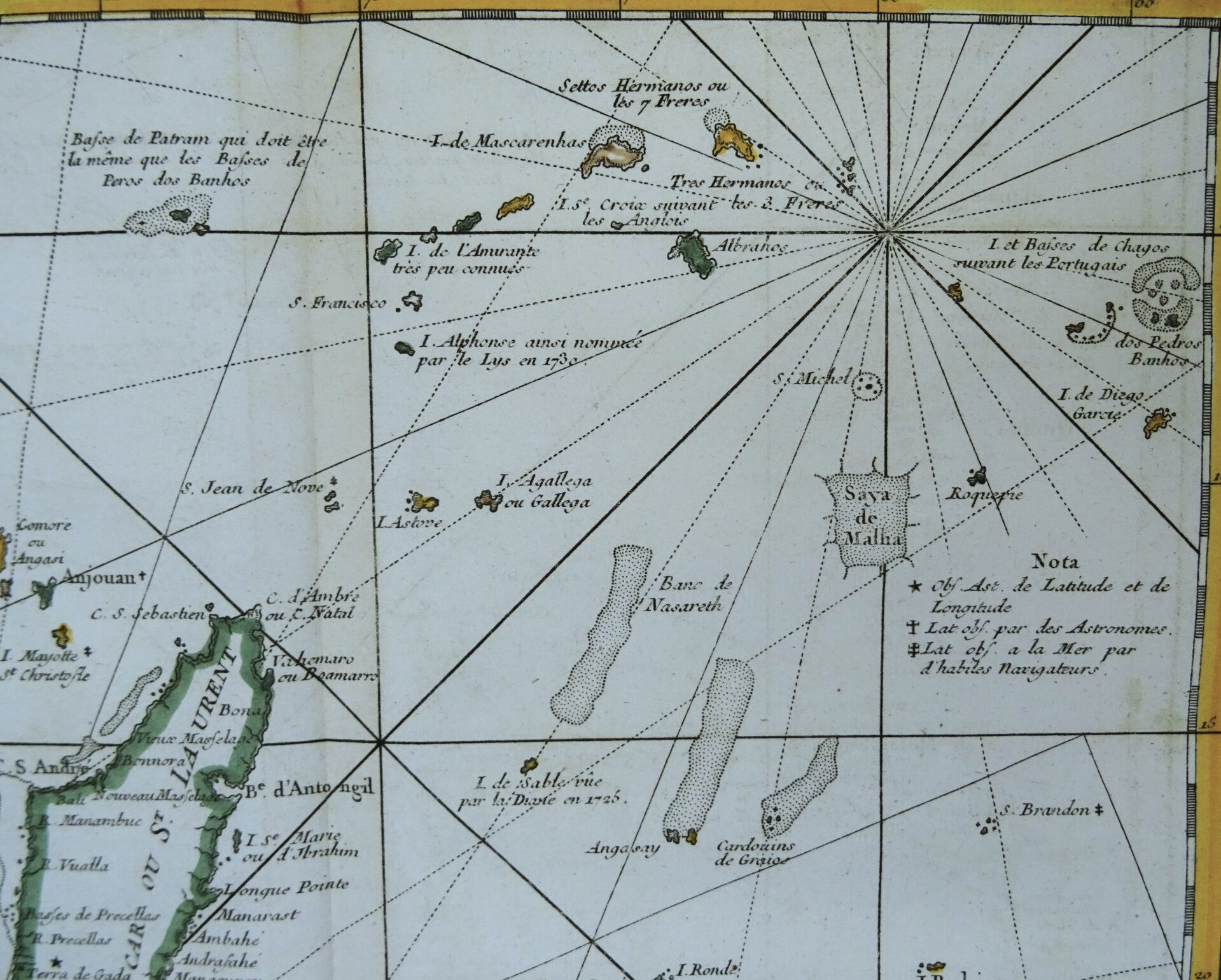
In the center of the map is Madagascar, with the Comoros in the upper left and Mauritius (here called Île-de-France) and Réunion on the right (above the title block).
In the upper right corner, the Seychelles.
The map was created in 1746 in the first volume of Prévost d'Exiles's "Histoire General des Voyages…."
Very good condition
Image 23x28cm, sheet 26x36cm