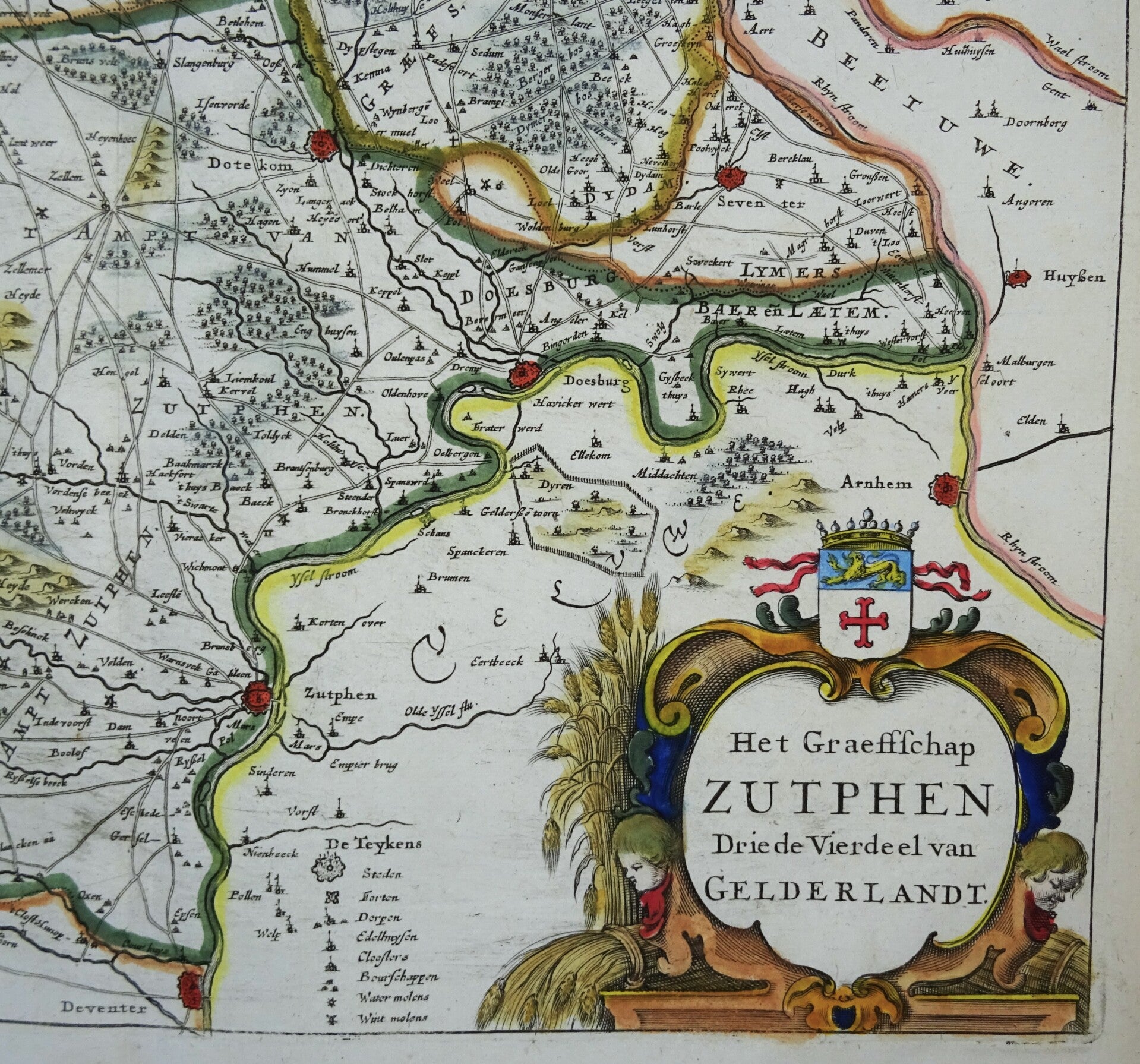
Netherlands, Gelderland, Achterhoek, Doetinchem, Groenlo... Geelkercken, 1654, Het Graeffschap Zutphen. Driede Vierdeel van Gelderlandt.


€89.00
Item number:
24 34 AL
Highly detailed map of the Achterhoek region, oriented with north on the left. At the bottom of the IJssel River are Deventer, Zutphen, etc., and at the top is the border with Germany. Arnhem on the right.
Published by Jacob van Biesen in Arnhem in 1654. Gelderland cartographer Nicolaas Geelkercken was responsible for the maps and special city plans with profile views. His city plans were later used by Joan Blaeu and Johannes Janssonius for their City Books.
Excellent condition
Image 25x34.5cm, page 30.5x37cm