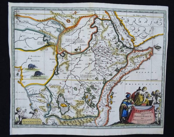
East and Central Africa, Kingdom of Prester John Dapper/Van Meurs, 1668, Aethiopia Superior vel Interior vulgo Abissinorum sive Presbiteri Ioannis Imperior
Beautiful copper engraved map of East and Central Africa and the fictitious kingdom of Prester John.
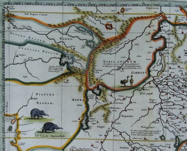
The map shows a major section of central and eastern Africa including Mozambique north to present day Sudan. The map contains numerous rivers, villages and settlements throughout, and is highly embellished with elephants, ostriches and other animals within the map, as well as the decorative cartouche. The two Ptolemaic lakes of Zaire and Zaflan are in the lower portion of the map. Lake Niger, and the supposed course of the Niger River, is shown flowing westward.
This map is based on Ortelius' map of Prester John of 1573 and Blaeu´s edition of that same map of 1662. The myth of Prester John, the good Christian King of Africa waging his own crusade and defeating the enemies of Christianity, was based upon earlier legends of the Crusaders and is a fascinating piece of early mythological cartographic history.
The large title cartouche includes several figures. Published in the first edition of Olfert Dapper´s "Naukeurige Beschrijvingen der Afrikaensche gewesten" and "Naukeurige beschrijvinge der Afrikaensche Eylanden".
Olfert Dapper’s ‘Description of Africa’ was an ethnographic book which offered a detailed description of the parts of Africa known to Europeans in the mid-seventeenth century. Despite the work being regarded as one of the most important and detailed seventeenth-century publications on Africa, Dapper himself never actually visited the continent. Instead, he relied on the reports of Jesuit missionaries and Dutch explorers. The ‘Description of Africa’ was first published in 1668 by Jacob van Meurs in Amsterdam
Good condition. Narrow, but sufficient, lateral margins (as published). Left margin partially extended with antique paper. Otherwise excellent.
Image 28,5x37cm, page 31,5x38cm


