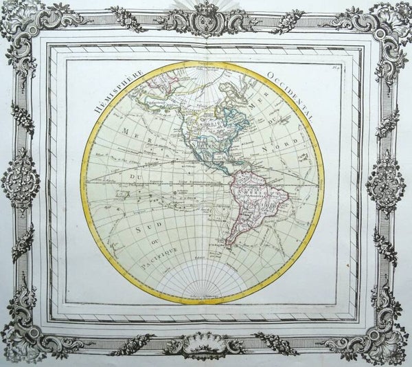
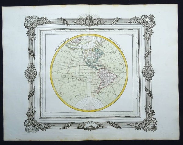
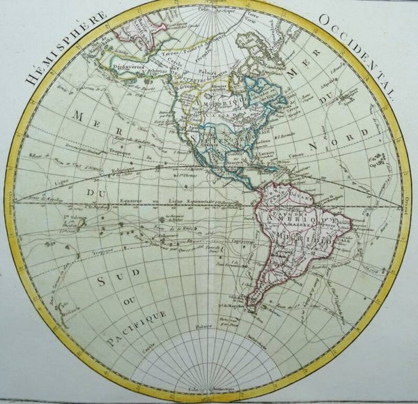
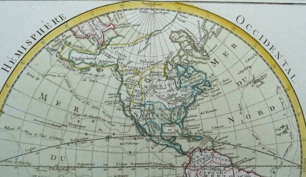
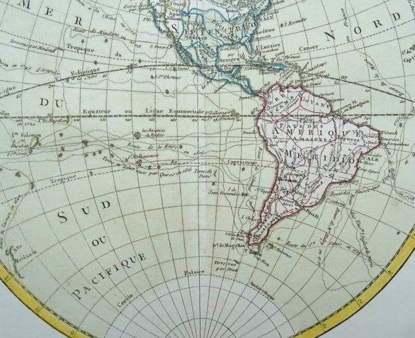
America, South America, US, Canada... L. C. Desnos / M. Brion, 1766, Hemisphere Occidental
Folio size copper engraved map, made by Brion de la Tour, of North and South America. The map was issued during a time of controversy and confusion as to the true nature of the Pacific coast of North America. Desnos has here devised an interesting method to depict the conflicting theories. Philip Buache's concepts, including the mythical "Mer de l'Ouest" and "B. de l'Ouest' with its Northwest Passage, are engraved in faint hatchures and colored in yellow. While the ideas of Gerhard Freidrich Muller, which includes the fabled River of the West connecting through a network of lakes into both Lake Superior and Hudson Bay, are shown by dotted line and colored green. The oceans are filled with the tracks of the major explorations.
The map is printed in a decorative frame and in orginal coloring. Dated 1766, published in 1767.
Published in ´Atlas général, civil et ecclésiastique, méthodique et élémentaire pour l'étude de la géographie et de l'histoire / Chez le sieur Desnos à Paris, 1767
Louis Brion De La Tour (fl 1756-1803)
Beyond the fact that Brion was an engineer by profession and held the post of Ingenieur-Geographe du Roi, little is known of his career. He published a wide range of statistical works and a number of atlases, published by the well known French mapmaker Louis Charles Desnos (1725-1805).
Excellent condition. Thick paper. Clear print. Original coloring. Ample margins. Reverse side blank.
Image 35x39cm, sheet 40x52,5cm


