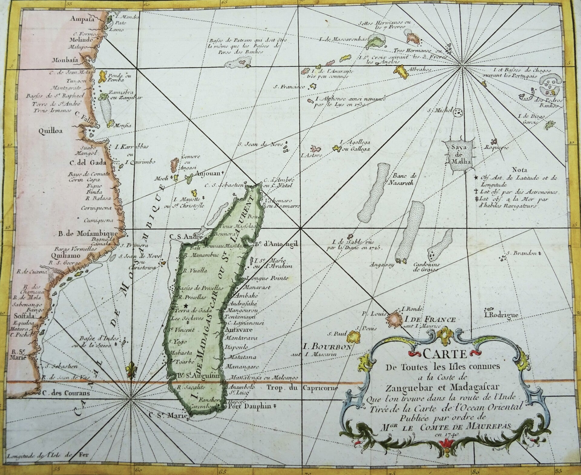
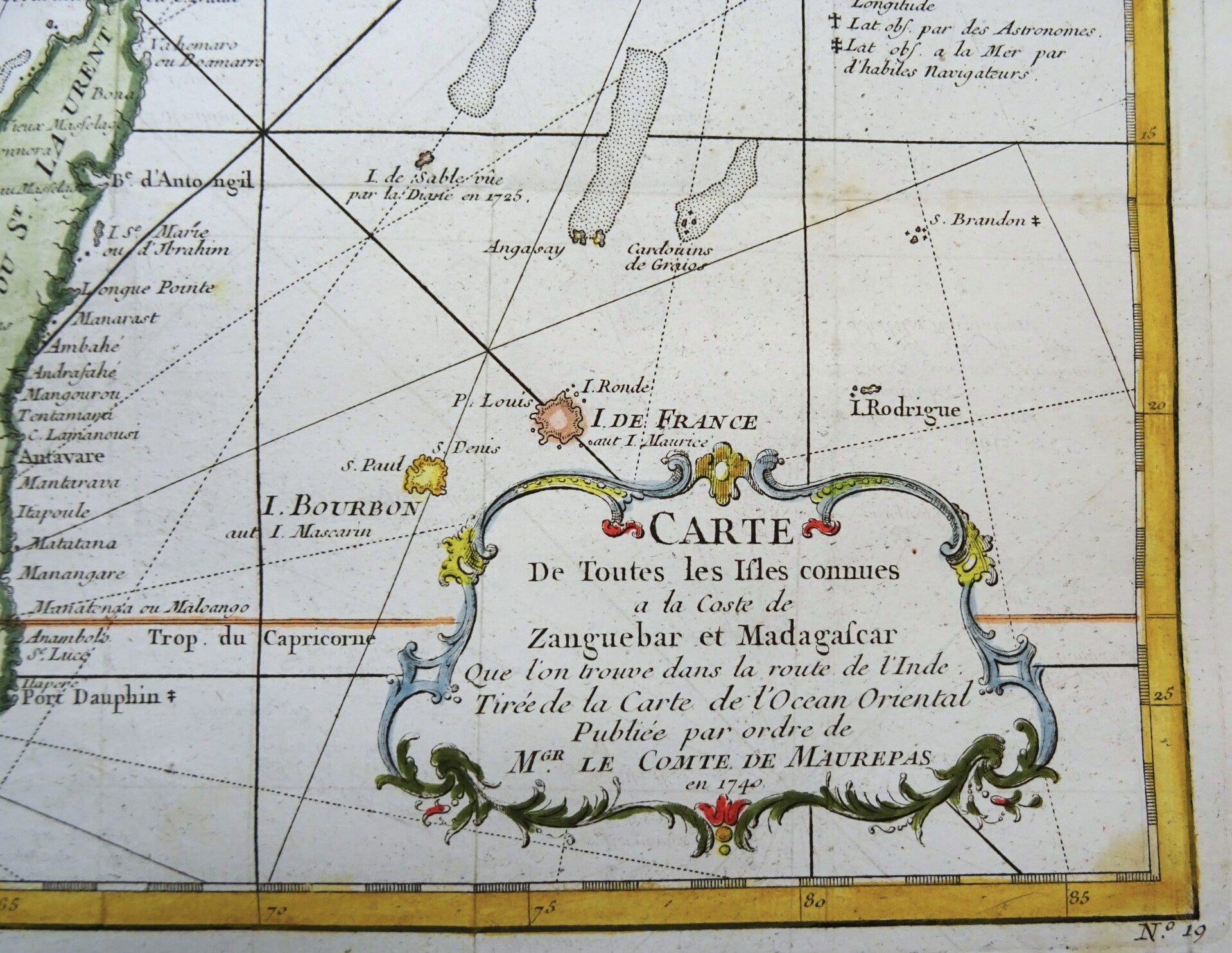
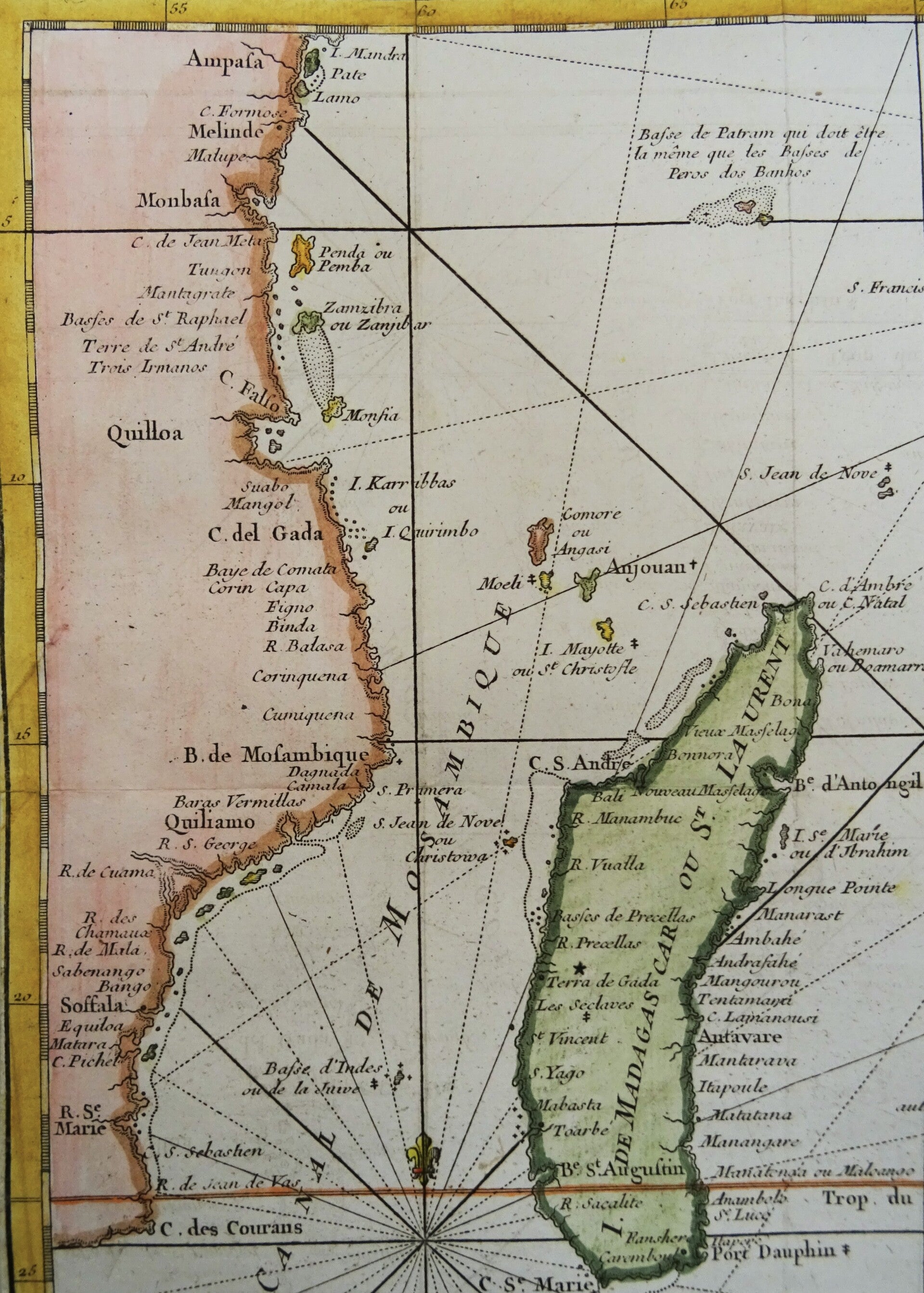
Madagascar / Mauritius / Reunión / Comores / Seychelles Bellin, 1746, Carte de Toutes les Isles Connues a la Coste de Zanguebar et Madagascar…


€89.00
Item number:
26 15 K
Map of the western Indian Ocean. On the left, the coastline of East Africa is visible, between South Africa, Mozambique, Tanzania (including Zanzibar), and Kenya (Mombasa).
In the center of the map is Madagascar, with the Comoros Islands in the upper left and Mauritius (referred to here as Île de France) and Réunion on the right (above the title cartouche).
In the upper right corner are the Seychelles.
The map was created in 1746 for the first volume of Prévost d'Exiles's 'Histoire General des Voyages…'.
Very good condition. Folds as published, some light age browning, lower left margin extended with antique paper. Clear print.
Image 23x28cm, sheet 25,5x31cm